Holloway's Wood
Wood, Forest in Sussex Horsham
England
Holloway's Wood

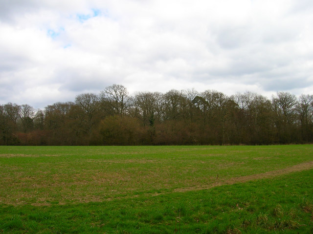
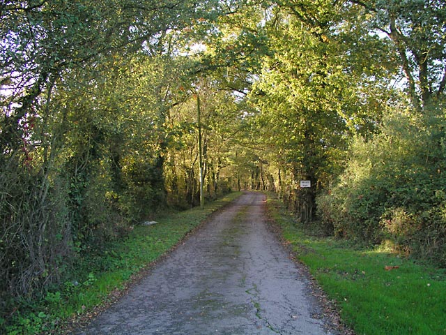
Holloway's Wood is a picturesque forest located in the county of Sussex, England. Spanning an area of approximately 200 acres, the wood is known for its stunning natural beauty and diverse flora and fauna.
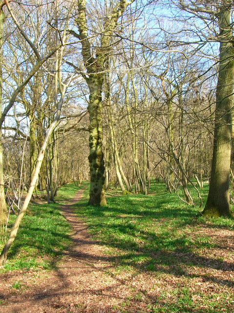
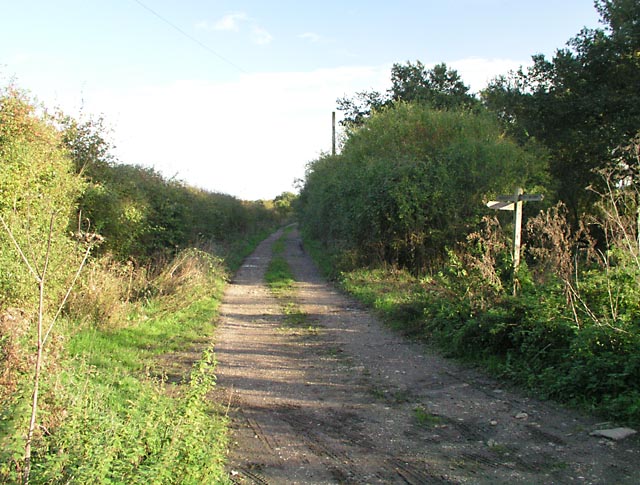
The wood is predominantly composed of broadleaf trees, including oak, beech, and ash, which create a dense canopy that filters sunlight and creates a peaceful atmosphere. A network of well-maintained footpaths allows visitors to explore the wood and appreciate its natural wonders.
Holloway's Wood is home to a wide range of wildlife, making it a haven for nature enthusiasts. Birdwatchers can spot various species of birds, including woodpeckers, thrushes, and owls, while small mammals such as squirrels, foxes, and badgers are often seen darting among the trees. The wood also supports a rich diversity of insect life, with butterflies and dragonflies fluttering through the meandering pathways.
One of the highlights of Holloway's Wood is its vibrant display of wildflowers during the spring and summer months. Bluebells, primroses, and orchids carpet the forest floor, creating a stunning spectacle of colors and scents.
The wood is a popular destination for outdoor activities such as walking, picnicking, and photography. It offers a peaceful retreat from the hustle and bustle of urban life, allowing visitors to connect with nature and enjoy the tranquility of the surroundings.
Overall, Holloway's Wood is a delightful woodland oasis in Sussex, offering a captivating blend of natural beauty, wildlife, and recreational opportunities for all to enjoy.
If you have any feedback on the listing, please let us know in the comments section below.
Holloway's Wood Images
Images are sourced within 2km of 50.950464/-0.36085685 or Grid Reference TQ1518. Thanks to Geograph Open Source API. All images are credited.


Holloway's Wood is located at Grid Ref: TQ1518 (Lat: 50.950464, Lng: -0.36085685)
Administrative County: West Sussex
District: Horsham
Police Authority: Sussex
What 3 Words
///threading.opts.trouble. Near Ashington, West Sussex
Nearby Locations
Related Wikis

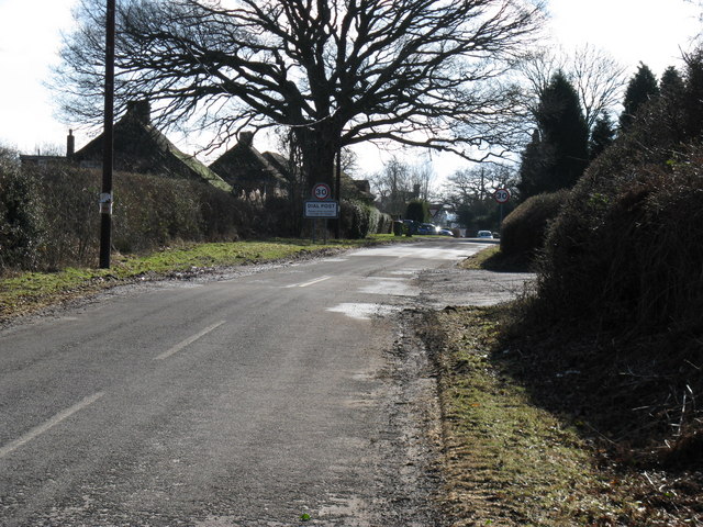
Dial Post
Dial Post is a village in the Horsham District of West Sussex, England. The civil parish, where the lowest level political meetings are held, is West Grinstead...

Ashington, West Sussex
Ashington is a village and civil parish in the Horsham District of West Sussex, England. It lies on the A24 road 3 miles (4.8 km) north-east of Storrington...

Brightling Park
Brightling Park (previously known as Rose Hill) is a country estate which lies in the parishes of Brightling and Dallington in the Rother district of East...

St James's Church, Ashurst
St James's Church is a Church of England parish church in Ashurst, West Sussex. The church is a grade I listed building and it dates from the early 12th...
Nearby Amenities
Located within 500m of 50.950464,-0.36085685Have you been to Holloway's Wood?
Leave your review of Holloway's Wood below (or comments, questions and feedback).