Grove Wood
Wood, Forest in Hertfordshire St. Albans
England
Grove Wood

Grove Wood is a picturesque forest located in Hertfordshire, England. Covering an area of approximately 200 acres, this woodland is a cherished natural gem that attracts visitors from far and wide. The forest is situated near the village of Grove and is easily accessible by road, making it a popular destination for locals and tourists alike.
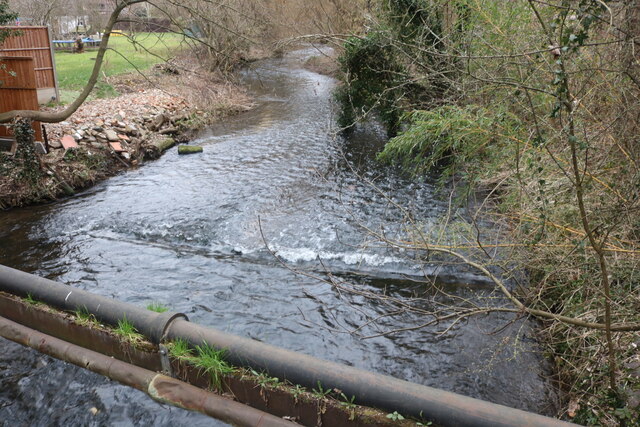
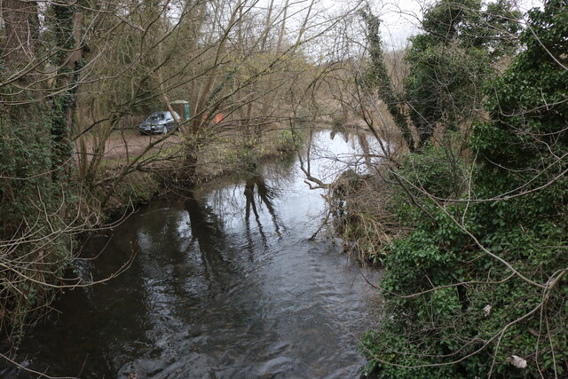
Grove Wood is characterized by its diverse range of tree species, including oak, beech, birch, and pine. The towering trees create a dense canopy that provides shade and shelter to countless flora and fauna. Walking through the woodland, one can witness a vibrant display of wildflowers, such as bluebells and primroses, adding a splash of color to the green surroundings.
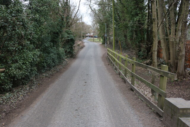
The forest is crisscrossed with well-maintained trails that offer visitors the chance to explore its beauty at their own pace. Nature enthusiasts can immerse themselves in the peaceful ambiance, observing birds, squirrels, and other woodland creatures that call Grove Wood their home.
Grove Wood is not only a haven for flora and fauna but also serves as an important ecological site. It acts as a natural carbon sink, absorbing and storing carbon dioxide, contributing to the fight against climate change. The forest also plays a crucial role in maintaining the local ecosystem, providing habitat for various species and promoting biodiversity.
Overall, Grove Wood is a haven of tranquility and natural beauty. Whether you are seeking a peaceful walk, a place to connect with nature, or simply a break from the bustling city, this forest offers a delightful escape into the heart of Hertfordshire's natural wonders.
If you have any feedback on the listing, please let us know in the comments section below.
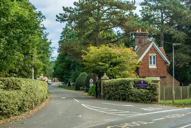
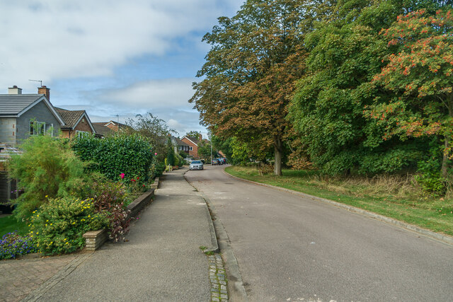
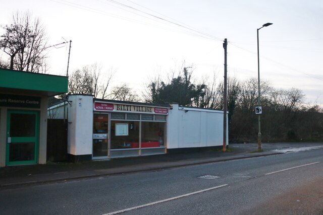
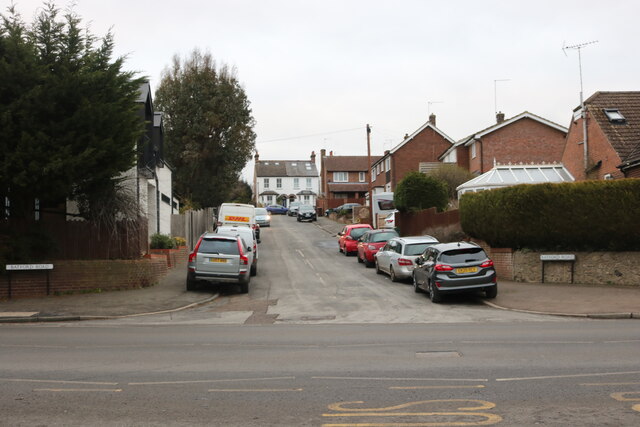
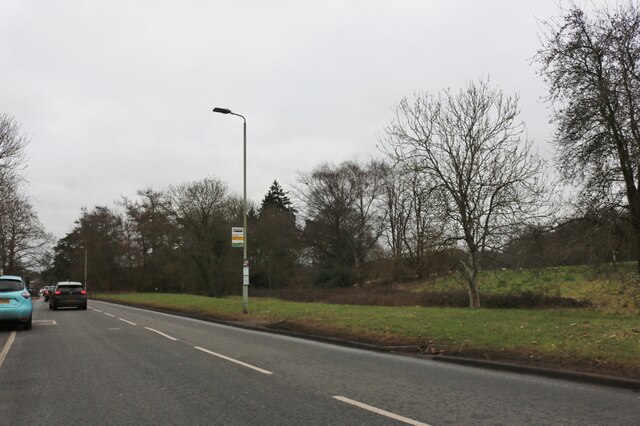
Grove Wood Images
Images are sourced within 2km of 51.807588/-0.32812311 or Grid Reference TL1513. Thanks to Geograph Open Source API. All images are credited.


Grove Wood is located at Grid Ref: TL1513 (Lat: 51.807588, Lng: -0.32812311)
Administrative County: Hertfordshire
District: St. Albans
Police Authority: Hertfordshire
What 3 Words
///rises.truly.grain. Near Harpenden, Hertfordshire
Nearby Locations
Related Wikis

Aldwickbury School
Aldwickbury School is a 4–13 boys private preparatory school located on the outskirts of Harpenden, Hertfordshire in the United Kingdom. Aldwickbury School...
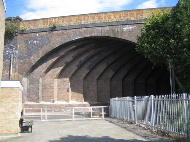
Southdown Road Skew Bridge
Southdown Road Skew Bridge is a ribbed skew arch railway bridge, which carries the Midland Main Line across Southdown Road in Harpenden, Hertfordshire...

Harpenden Common Golf Club
Harpenden Common Golf Club is a private members' golf club in Harpenden, Hertfordshire. Although golf has been played on Harpenden Common since 1895, Harpenden...

Batford
Batford is a village in Hertfordshire, England, located on the River Lea on the outskirts of Harpenden. Batford Springs is a local nature reserve alongside...

Marshalls Heath
Marshalls Heath is a hamlet and a 4-hectare (10-acre) Local Nature Reserve in Wheathampstead parish, Hertfordshire, England. The nature reserve is owned...

Harpenden railway station
Harpenden railway station is on the Midland Main Line in England, serving the town of Harpenden, Hertfordshire. It is 24 miles 51 chains (39.7 km) down...
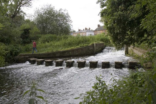
Batford Springs
Batford Springs is a 3.5-hectare (8.6-acre) Local Nature Reserve in Harpenden in Hertfordshire. It is owned and managed by Harpenden Town Council, and...

Rothamsted Research
Rothamsted Research, previously known as the Rothamsted Experimental Station and then the Institute of Arable Crops Research, is one of the oldest agricultural...
Nearby Amenities
Located within 500m of 51.807588,-0.32812311Have you been to Grove Wood?
Leave your review of Grove Wood below (or comments, questions and feedback).