Elford Closes

Settlement in Cambridgeshire East Cambridgeshire

England

Elford Closes

Ditch on Snoots Common Around a small copse.
Ditch on Snoots Common Credit: Hugh Venables

Elford Closes is a small village located in the county of Cambridgeshire, England. Situated approximately 5 miles northwest of the city of Cambridge, it falls within the South Cambridgeshire district. The village is surrounded by beautiful countryside, showcasing picturesque landscapes and tranquil settings.

With a population of around 300 residents, Elford Closes exudes a peaceful and close-knit community atmosphere. The village is mainly residential, characterized by charming cottages and houses built in a variety of architectural styles. Many of these properties have well-maintained gardens, adding to the village's aesthetic appeal.

Elford Closes benefits from its proximity to Cambridge, which offers a wide range of amenities and services. Residents have easy access to educational institutions, healthcare facilities, shopping centers, and recreational activities. The village also enjoys good transport links, with regular bus services connecting it to neighboring towns and cities.

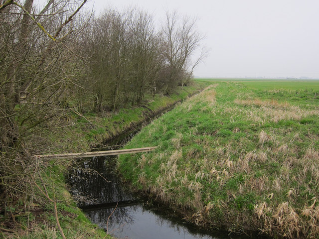
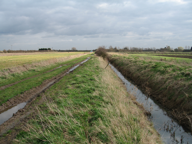
Nature enthusiasts will appreciate the village's proximity to several natural attractions. The Cambridgeshire countryside offers opportunities for walking, cycling, and exploring the great outdoors. Elford Closes itself is blessed with green spaces and parks, providing residents with places to relax and enjoy the fresh air.

Overall, Elford Closes offers a charming and peaceful living environment, combining the tranquility of rural living with the convenience of nearby urban amenities. With its picturesque landscapes and welcoming community, the village provides an idyllic retreat for those seeking a quieter way of life.

If you have any feedback on the listing, please let us know in the comments section below.

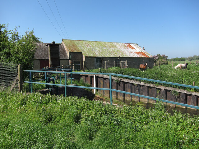
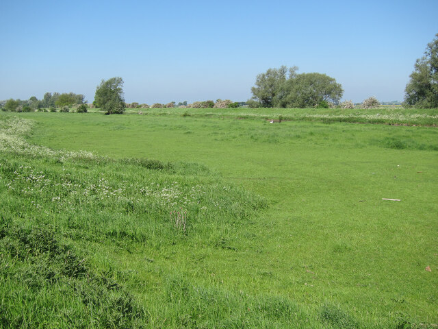
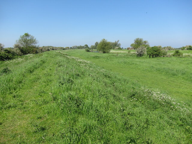
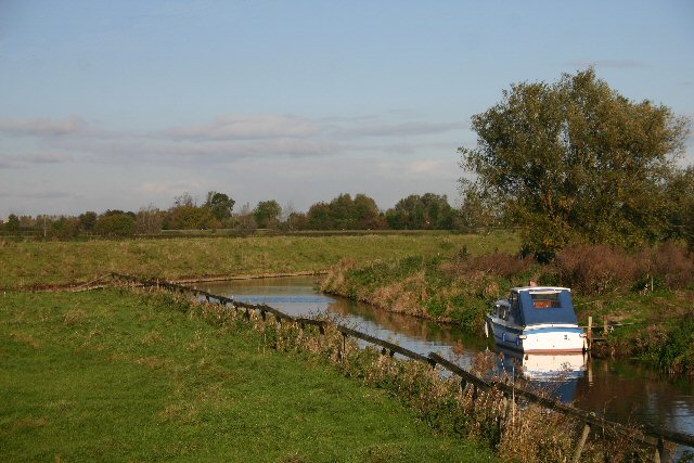
Elford Closes Images

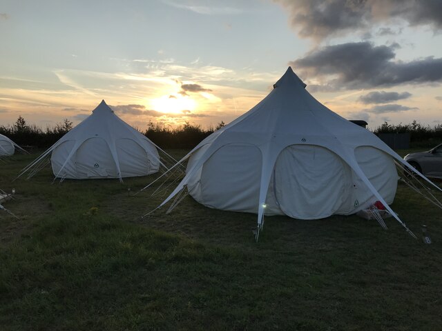
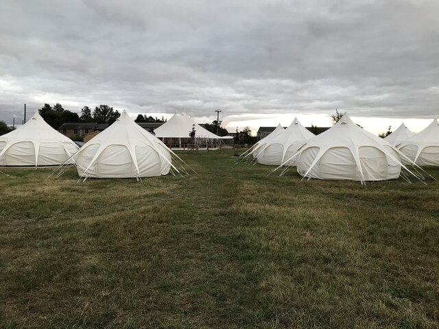
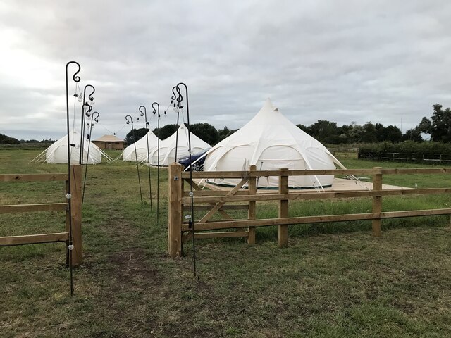
Images are sourced within 2km of 52.330897/0.202863 or Grid Reference TL5072. Thanks to Geograph Open Source API. All images are credited.

Ditch on Snoots Common Around a small copse.
Ditch on Snoots Common
Around a small copse.
Snoots Common Bridge over a ditch for farm access.
Snoots Common
Bridge over a ditch for farm access.
Footpath to Red Hill Farm Across Snoots Common.
Footpath to Red Hill Farm
Across Snoots Common.
Ditch across Snoots Common
Pavement along A10 Joining the sections of path along the River Great Ouse.
Pavement along A10
Joining the sections of path along the River Great Ouse.
Footpath along River Great Ouse Crossing Chear Lode, leaving the A10.
Footpath along River Great Ouse
Crossing Chear Lode, leaving the A10.
Footpath along River Great Ouse
Great Ouse from Chear Fen pumping station
Fenland Retreats, Willow Grange Farm, Chittering
Chear Fen Engine Pumping station by the Great Ouse.
Chear Fen Engine
Pumping station by the Great Ouse.
Washland by the Great Ouse The raised river banks are set back away from the river channel to give more flood storage volume.
Washland by the Great Ouse
The raised river banks are set back away from the river channel to give more flood storage volume.
Washland by the Great Ouse The raised river banks are set back away from the river channel to give more flood storage volume.
Washland by the Great Ouse
The raised river banks are set back away from the river channel to give more flood storage volume.
Washland by the Great Ouse The raised river banks are set back away from the river channel to give more flood storage volume.
Washland by the Great Ouse
The raised river banks are set back away from the river channel to give more flood storage volume.
River Great Ouse at Chear Fen This boat is moored in a small channel leading south from the river.
River Great Ouse at Chear Fen
This boat is moored in a small channel leading south from the river.
Red Hill Drove, Stretham, Cambs – view NNW across Snoots Common.
Red Hill Drove, Stretham, Cambs
– view NNW across Snoots Common.
Red Hill Drove, Stretham, Cambs – view SE towards the A10 Cambridge Road.
Red Hill Drove, Stretham, Cambs
– view SE towards the A10 Cambridge Road.
Show me another place!

Elford Closes is located at Grid Ref: TL5072 (Lat: 52.330897, Lng: 0.202863)

Division: Isle of Ely

Administrative County: Cambridgeshire

District: East Cambridgeshire

Police Authority: Cambridgeshire

What 3 Words

///trash.asset.hiker. Near Stretham, Cambridgeshire

Related Wikis

Huntingdonshire Football Association

The Huntingdonshire Football Association, also simply known as the Huntingdonshire FA, is the governing body of football in Huntingdonshire. == References... ==

Stretham Old Engine

Stretham Old Engine is a steam-powered engine just south of Stretham in Cambridgeshire, England, that was used to pump water from flood-affected areas...

Mereham

Mereham was a potential new town near Ely in East Cambridgeshire, England. Developer Multiplex Stannifer has not received planning permission yet. East...

Stretham

Stretham is a village and civil parish 4 miles (6 km) south-south-west of Ely in Cambridgeshire, England, about 74 miles (119 km) by road from London...

Nearby Amenities

Located within 500m of 52.330897,0.202863
Parking
Access: yes
Fee: no
Parking: street_side
Lat/Long: 52.3334444/0.2008544
Material: wood
Power: pole
Lat/Long: 52.3304152/0.2064978
Power: pole
Lat/Long: 52.3304628/0.1958414
Power: pole
Lat/Long: 52.3304465/0.1972951
Power: pole
Lat/Long: 52.3304448/0.1986953
Material: wood
Power: pole
Lat/Long: 52.3304465/0.200106
Material: wood
Power: pole
Lat/Long: 52.3304087/0.2049099
Material: wood
Power: pole
Lat/Long: 52.3304283/0.2032041
Material: wood
Power: pole
Lat/Long: 52.3304021/0.2097272
Material: wood
Power: pole
Lat/Long: 52.3341607/0.2008786
Power: pole
Lat/Long: 52.3348822/0.2001013
Building: yes
Lat/Long: 52.3341065/0.2013493
Addr Postcode: CB6 3FS
Building: yes
Lat/Long: 52.3284665/0.202598
The data included in this document is from www.openstreetmap.org. The data is made available under ODbL.

Have you been to Elford Closes?

Leave your review of Elford Closes below (or comments, questions and feedback).