Blackthorn Spinney
Wood, Forest in Huntingdonshire Huntingdonshire
England
Blackthorn Spinney
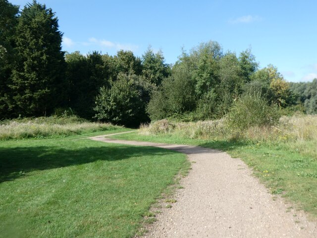
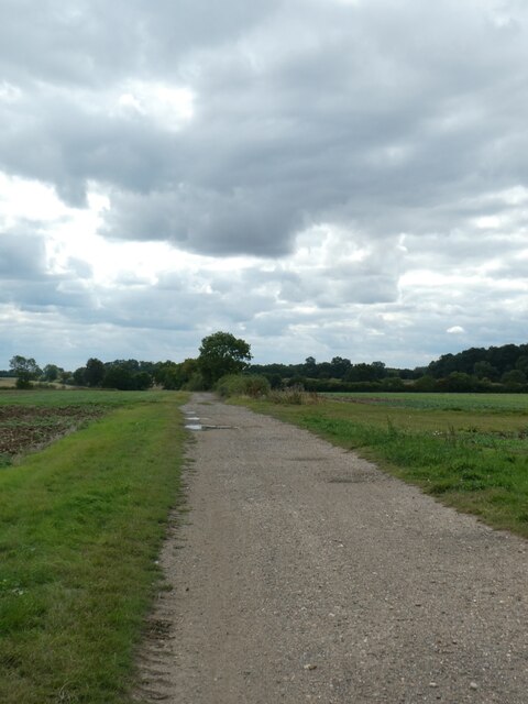
Blackthorn Spinney is a charming woodland located in the district of Huntingdonshire, England. Nestled amidst the picturesque countryside, this enchanting forest covers an area of approximately 200 acres. The spinney is primarily composed of native blackthorn bushes, which give it its name.
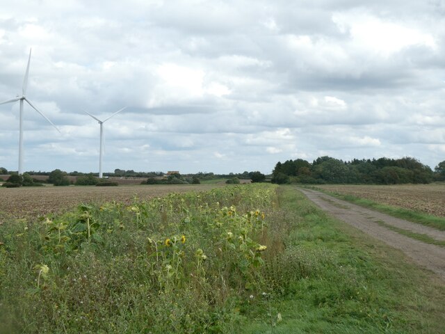
The woodland boasts a diverse range of flora and fauna, making it a haven for nature lovers and wildlife enthusiasts. Ancient oak trees provide a majestic canopy, while ferns and wildflowers carpet the forest floor, creating a vibrant and enchanting atmosphere. The spinney is home to a variety of bird species, including woodpeckers, owls, and songbirds, making it a popular spot for birdwatching.
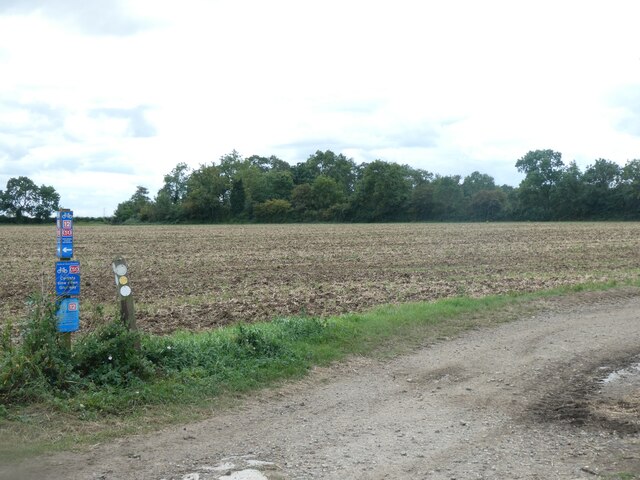
Visitors can explore the numerous walking trails that wind through the forest, offering a peaceful and tranquil escape from the hustle and bustle of everyday life. These paths are well-maintained and suitable for all levels of fitness, making it an ideal destination for families, hikers, and dog walkers alike.
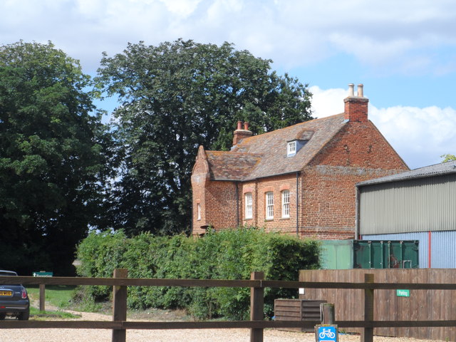
Blackthorn Spinney is also steeped in history, with remnants of ancient settlements and archaeological sites scattered throughout the woodland. The spinney has been carefully preserved and managed by local authorities, ensuring its natural beauty and historical significance are protected for future generations to enjoy.
Overall, Blackthorn Spinney offers a delightful and immersive experience in the heart of Huntingdonshire. Whether one seeks solace in nature, wishes to explore its rich history, or simply desires a peaceful retreat, this woodland is a must-visit destination.
If you have any feedback on the listing, please let us know in the comments section below.
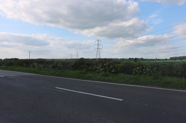
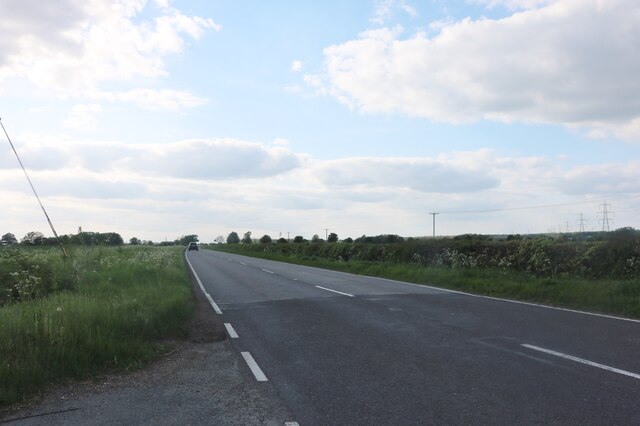
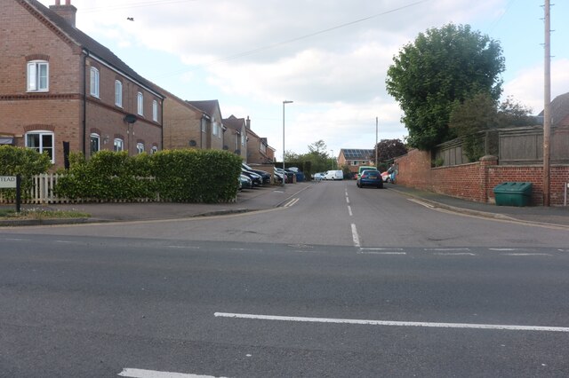
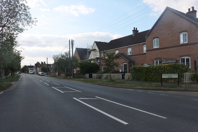
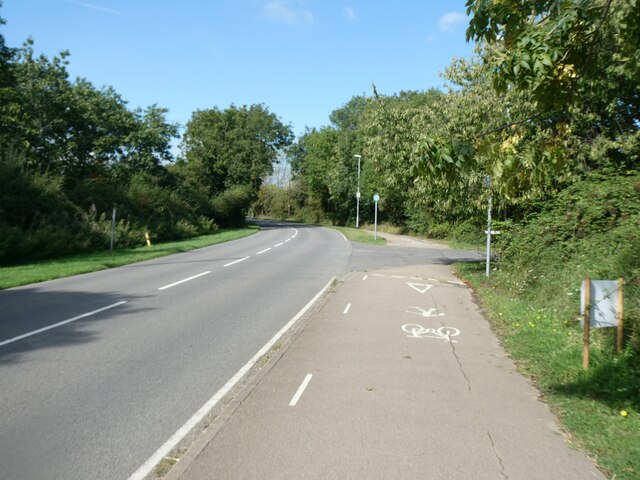
Blackthorn Spinney Images
Images are sourced within 2km of 52.272293/-0.31569172 or Grid Reference TL1565. Thanks to Geograph Open Source API. All images are credited.

Blackthorn Spinney is located at Grid Ref: TL1565 (Lat: 52.272293, Lng: -0.31569172)
Administrative County: Cambridgeshire
District: Huntingdonshire
Police Authority: Cambridgeshire
What 3 Words
///wakes.defaults.grows. Near Little Paxton, Cambridgeshire
Nearby Locations
Related Wikis

Perry, Cambridgeshire
Perry is a village and civil parish in Cambridgeshire, England, approximately 6 miles (10 km) south-west of Huntingdon. Perry is in Huntingdonshire, a...

HM Prison Littlehey
HM Prison Littlehey is a Category C male prison in the village of Perry near Huntingdon in Cambridgeshire, England. Littlehey Prison is operated by His...

Gaynes Hall
Gaynes Hall is a Grade II* listed Georgian mansion set in 20 acres (81,000 m2) of parkland in the heart of the Cambridgeshire countryside. Located in the...

Great Staughton
Great Staughton is a village and civil parish in Cambridgeshire, England. Great Staughton lies approximately 8 miles (13 km) south-west of Huntingdon....

Perry Woods
Perry Woods is a 67.9-hectare (168-acre) biological Site of Special Scientific Interest south-east of Kimbolton in Cambridgeshire. It is composed of three...

Southoe and Midloe
Southoe and Midloe is a small civil parish in Cambridgeshire, England. The parish lies approximately 6 miles (10 km) south-west of Huntingdon. The parish...

Little Paxton Wood
Little Paxton Wood is a 44.1-hectare biological Site of Special Scientific Interest west of Little Paxton in Cambridgeshire.This ancient wood is wet ash...

Grafham Water
Grafham Water is an 806.3-hectare (1,992-acre) biological Site of Special Scientific Interest (SSSI) north of Perry, Huntingdonshire. It was designated...
Nearby Amenities
Located within 500m of 52.272293,-0.31569172Have you been to Blackthorn Spinney?
Leave your review of Blackthorn Spinney below (or comments, questions and feedback).