Round Plantation

Wood, Forest in Middlesex

England

Round Plantation

Fountain Court, Hampton Court Palace Looking towards the north range from one of the cloisters around the court. It has been little altered since its creation by Sir Christopher Wren between 1689 and 1694. The ranges are some of the finest Baroque elevations in England. They hold state and private apartments built for William III and Mary II and used by the royal family until the mid-eighteenth century.
Fountain Court, Hampton Court Palace Credit: Paul Harrop

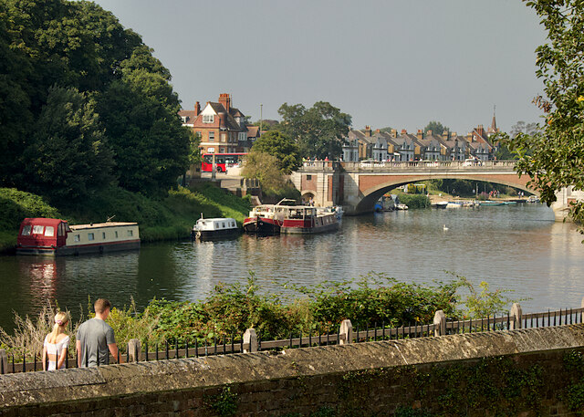
Round Plantation is a charming woodland located in Middlesex, England. It is known for its dense forest and picturesque surroundings, offering a peaceful retreat for nature enthusiasts and outdoor lovers. Spanning across an area of approximately 100 acres, the plantation is dominated by a variety of tall, mature trees, creating a dense canopy overhead.

The plantation gets its name from its distinctive circular shape, which is believed to have been designed by landscape architects in the early 19th century. This circular layout adds to the unique charm of the woodland and provides visitors with a sense of tranquility as they explore its winding paths.

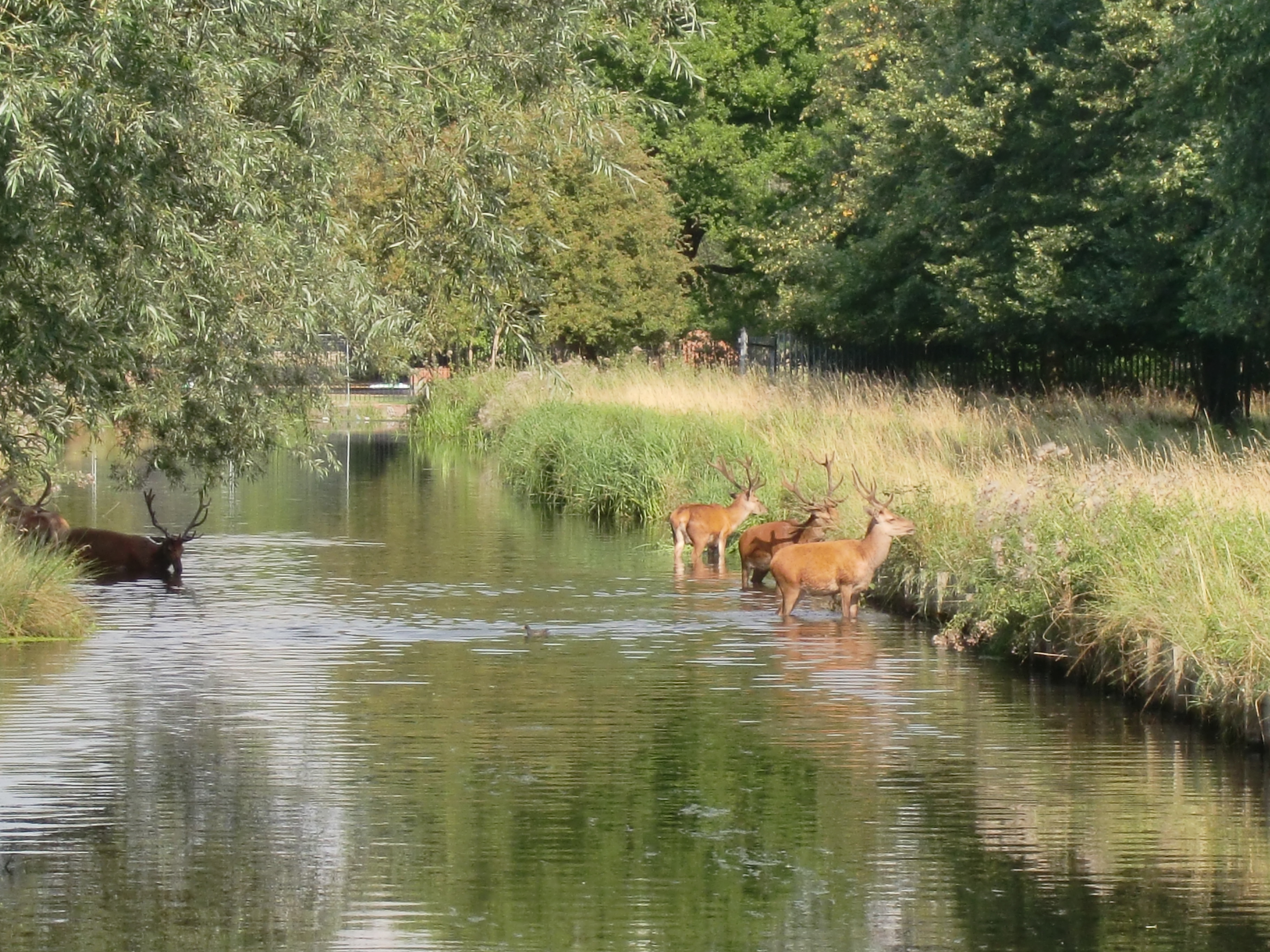
The forest is home to a diverse range of flora and fauna, with a rich ecosystem supporting numerous species of plants, birds, and small animals. Popular tree species found in Round Plantation include oak, beech, and birch, which provide a patchwork of colors during the changing seasons.

Visitors to Round Plantation can enjoy a variety of outdoor activities such as walking, birdwatching, and photography. The well-maintained trails offer easy access to the different areas of the woodland, allowing visitors to explore at their own pace. The plantation also features several picnic spots, making it a perfect destination for a family day out.

Overall, Round Plantation in Middlesex is a delightful woodland that offers a serene escape from the bustling city life. Its natural beauty, diverse wildlife, and well-preserved trails make it a popular destination for locals and tourists alike.

If you have any feedback on the listing, please let us know in the comments section below.

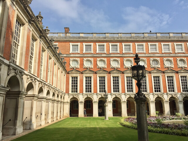
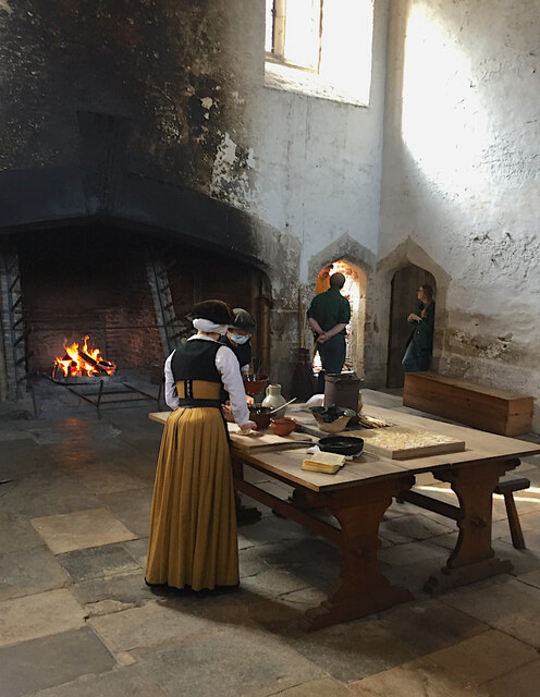
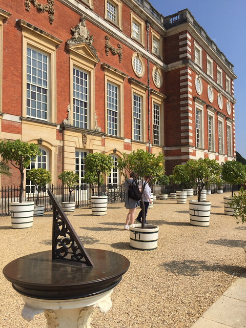
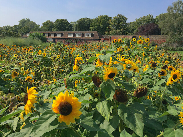
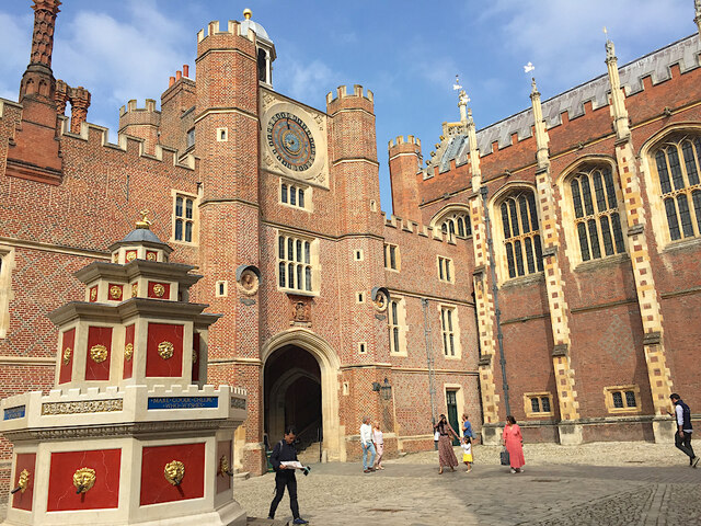
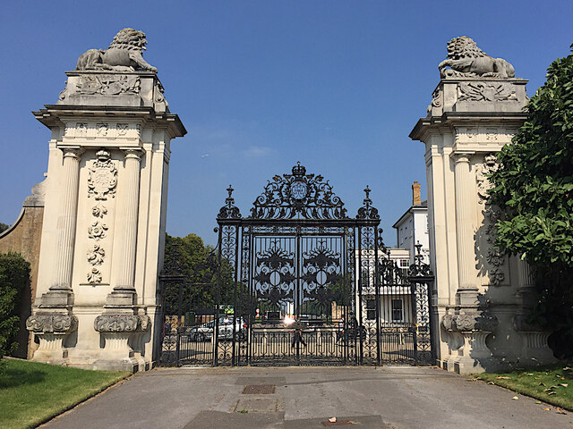
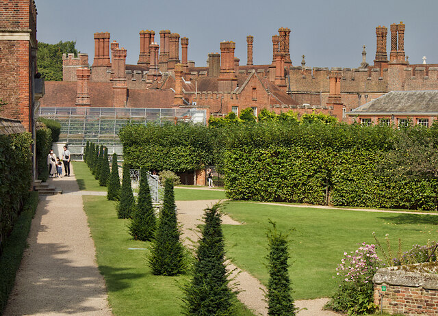
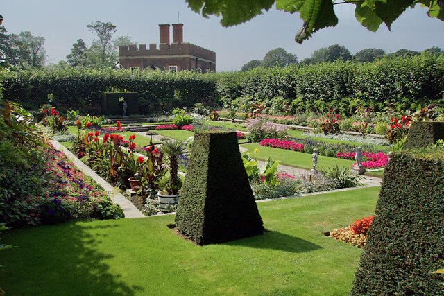
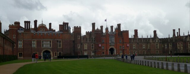
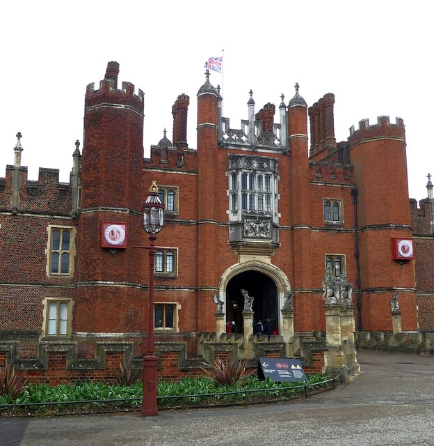
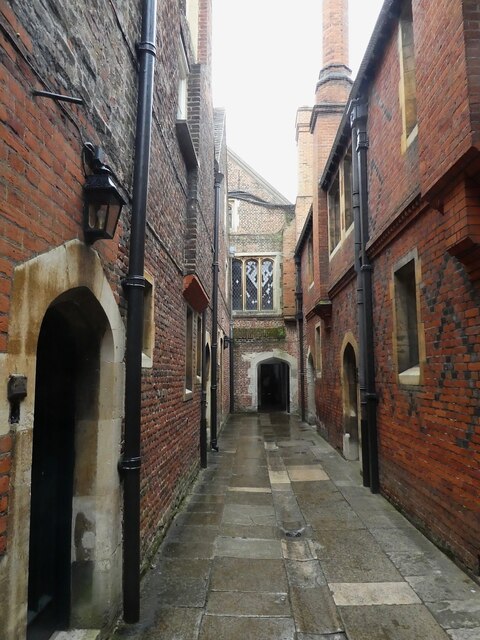
Round Plantation Images

Images are sourced within 2km of 51.41925/-0.34825633 or Grid Reference TQ1470. Thanks to Geograph Open Source API. All images are credited.

Fountain Court, Hampton Court Palace Looking towards the north range from one of the cloisters around the court. It has been little altered since its creation by Sir Christopher Wren between 1689 and 1694. The ranges are some of the finest Baroque elevations in England. They hold state and private apartments built for William III and Mary II and used by the royal family until the mid-eighteenth century.
Fountain Court, Hampton Court Palace
Looking towards the north range from one of the cloisters around the court. It has been little altered since its creation by Sir Christopher Wren between 1689 and 1694. The ranges are some of the finest Baroque elevations in England. They hold state and private apartments built for William III and Mary II and used by the royal family until the mid-eighteenth century.
Henry VIII's kitchens at Hampton Court Palace The kitchens <span class="nowrap"><a title="https://www.hrp.org.uk/hampton-court-palace/history-and-stories/henry-viii-s-kitchens-at-hampton-court/" rel="nofollow ugc noopener" href="https://www.hrp.org.uk/hampton-court-palace/history-and-stories/henry-viii-s-kitchens-at-hampton-court/">Link</a><img style="margin-left:2px;" alt="External link" title="External link - shift click to open in new window" src="https://s1.geograph.org.uk/img/external.png" width="10" height="10"/></span> were the largest in Tudor England. Two hundred staff worked to produce over 800 meals a day for the royal household of Henry VIII. Some current staff, in period costume, recreate Tudor techniques for visitors, although the covid-protection masks they wear are a more contemporary touch.
Henry VIII's kitchens at Hampton Court Palace
The kitchens LinkExternal link were the largest in Tudor England. Two hundred staff worked to produce over 800 meals a day for the royal household of Henry VIII. Some current staff, in period costume, recreate Tudor techniques for visitors, although the covid-protection masks they wear are a more contemporary touch.
Terrace, Hampton Court Palace This runs along the south side of the palace above the Privy Garden.
Terrace, Hampton Court Palace
This runs along the south side of the palace above the Privy Garden.
Pumpkin patch, Hampton Court A pair of woven willow figures among the ripening squashes and gourds in the walled kitchen garden to the north-west of the palace.
Pumpkin patch, Hampton Court
A pair of woven willow figures among the ripening squashes and gourds in the walled kitchen garden to the north-west of the palace.
Sunflowers, Hampton Court An extensive bed of the flowers in the north-eastern corner of the large walled kitchen gardens at the palace.
Sunflowers, Hampton Court
An extensive bed of the flowers in the north-eastern corner of the large walled kitchen gardens at the palace.
Clock Court, Hampton Court Palace With the eponymous astronomical timepiece in the gatehouse seen here, it was installed in 1540. It has been restored twice, most recently back to its original form in 2007-8. The gatehouse is also known as Anne Boleyn's gate.
Clock Court, Hampton Court Palace
With the eponymous astronomical timepiece in the gatehouse seen here, it was installed in 1540. It has been restored twice, most recently back to its original form in 2007-8. The gatehouse is also known as Anne Boleyn's gate.
Cloister, Hampton Court Palace One of the passages that run around the edge of Fountain Court. This one is under the north range which was designed by Sir Christopher Wren.
Cloister, Hampton Court Palace
One of the passages that run around the edge of Fountain Court. This one is under the north range which was designed by Sir Christopher Wren.
Lion Gates, Hampton Court Seen from inside the park, the entrance to the palace grounds (not currently in use) at their northern end, opposite Bushey Park and close to the famous maze. They are said to have been designed by Christopher Wren for Queen Anne and George I.
Lion Gates, Hampton Court
Seen from inside the park, the entrance to the palace grounds (not currently in use) at their northern end, opposite Bushey Park and close to the famous maze. They are said to have been designed by Christopher Wren for Queen Anne and George I.
Pond Garden, Hampton Court To the west of the Privy Garden, this sunken garden was once a medieval fish farm. The drained, south-facing walled compartments provided shelter for tender exotic plants, particularly those collected by Mary II from all over the world.

The glasshouse visible in the distance contains the Great Vine, thought to be the oldest (and largest) in the world, a Black Hamburg eating variety, planted in 1768 by Lancelot Capability Brown.
Pond Garden, Hampton Court
To the west of the Privy Garden, this sunken garden was once a medieval fish farm. The drained, south-facing walled compartments provided shelter for tender exotic plants, particularly those collected by Mary II from all over the world. The glasshouse visible in the distance contains the Great Vine, thought to be the oldest (and largest) in the world, a Black Hamburg eating variety, planted in 1768 by Lancelot Capability Brown.
Sunken garden, Hampton Court One of the hedged formal gardens in the Pond Garden to the west of the Privy Garden. This was once a medieval fish farm. The drained, south-facing walled compartments provided shelter for tender exotic plants, particularly those collected by Mary II from all over the world.
Sunken garden, Hampton Court
One of the hedged formal gardens in the Pond Garden to the west of the Privy Garden. This was once a medieval fish farm. The drained, south-facing walled compartments provided shelter for tender exotic plants, particularly those collected by Mary II from all over the world.
Over the garden wall, Hampton Court Looking from the Pond Garden at Hampton Court Palace towards the Thames and Hampton Court Bridge.
Over the garden wall, Hampton Court
Looking from the Pond Garden at Hampton Court Palace towards the Thames and Hampton Court Bridge.
Old Milestone A308, Hampton Court Road Carved stone post by the A308, in parish of TEDDINGTON AND HAMPTON (RICHMOND UPON THAMES District), Hampton Court Road, Hampton, opposite Western end of Taggs Island; opposite Boat House, East of St Alban's Lodge, in park, on South side of road. Erected by the Staines & Hampton turnpike trust in the 19th century. Eastern face see <a href="https://www.geograph.org.uk/photo/6060937">TQ1469 : Old Milestone by the A308, Hampton Court Road, Hampton</a>

Inscription reads:-
HAMPTON / COURT / BRIDGE / VI / FURLONGS / KINGSTON / BRIDGE / II / MILES //
HAMPTON / PARISH // 
SUNBURY / II / MILES / STAINES / VII / MILES / WINDSOR / XIII / MILES

Rivet benchmark on top representing 11.3 m ASL.

Grade II Listed see <span class="nowrap"><a title="https://historicengland.org.uk/listing/the-list/list-entry/1065454" rel="nofollow ugc noopener" href="https://historicengland.org.uk/listing/the-list/list-entry/1065454">Link</a><img style="margin-left:2px;" alt="External link" title="External link - shift click to open in new window" src="https://s1.geograph.org.uk/img/external.png" width="10" height="10"/></span>

Milestone Society National ID: MX_STHP07
Old Milestone A308, Hampton Court Road
Carved stone post by the A308, in parish of TEDDINGTON AND HAMPTON (RICHMOND UPON THAMES District), Hampton Court Road, Hampton, opposite Western end of Taggs Island; opposite Boat House, East of St Alban's Lodge, in park, on South side of road. Erected by the Staines & Hampton turnpike trust in the 19th century. Eastern face see TQ1469 : Old Milestone by the A308, Hampton Court Road, Hampton Inscription reads:- HAMPTON / COURT / BRIDGE / VI / FURLONGS / KINGSTON / BRIDGE / II / MILES // HAMPTON / PARISH // SUNBURY / II / MILES / STAINES / VII / MILES / WINDSOR / XIII / MILES Rivet benchmark on top representing 11.3 m ASL. Grade II Listed see LinkExternal link Milestone Society National ID: MX_STHP07
Hampton Court Palace Summer crowds at the main entrance to the palace in the mid 50's.
Hampton Court Palace
Summer crowds at the main entrance to the palace in the mid 50's.
Hampton Court - view from grounds to northwest of palace This is a general view of the western façade of Hampton Court Palace from the grounds to its west.
Hampton Court - view from grounds to northwest of palace
This is a general view of the western façade of Hampton Court Palace from the grounds to its west.
Hampton Court - Western façade The western façade of the vast Hampton Court is what greets visitors as they approach from the road or car park.
Hampton Court - Western façade
The western façade of the vast Hampton Court is what greets visitors as they approach from the road or car park.
Hampton Court - West Gate The main entrance to the palace of Hampton Court, this is the West Gate.
Hampton Court - West Gate
The main entrance to the palace of Hampton Court, this is the West Gate.
Hampton Court - Base Court Hampton Court is formed of several 'courts' this is the most westerly and the first one that you enter from <a href="https://www.geograph.org.uk/photo/7121650">TQ1568 : Hampton Court - West Gate</a> - Base Court.
The western end of the Great Hall can be seen on the left.
Hampton Court - Base Court
Hampton Court is formed of several 'courts' this is the most westerly and the first one that you enter from TQ1568 : Hampton Court - West Gate - Base Court. The western end of the Great Hall can be seen on the left.
Hampton Court - Fish Court Fish Court is effectively a Tudor street within Hampton Court Palace. It is to the north and parallel with the northern side of <a href="https://www.geograph.org.uk/photo/7129484">TQ1568 : Hampton Court - Base Court</a> and leads to the Tudor kitchens.
Hampton Court - Fish Court
Fish Court is effectively a Tudor street within Hampton Court Palace. It is to the north and parallel with the northern side of TQ1568 : Hampton Court - Base Court and leads to the Tudor kitchens.
Show me another place!

Round Plantation is located at Grid Ref: TQ1470 (Lat: 51.41925, Lng: -0.34825633)

Unitary Authority: Richmond upon Thames

Police Authority: Metropolitan

What 3 Words

///views.rods.button. Near Teddington, London

Related Wikis

Longford River

The Longford River is an artificial waterway, a distributary designed to embellish a park, that diverts water 12 miles (19 km) from the River Colne at...

Upper Lodge Water Gardens

The Upper Lodge Water Gardens are a partially restored complex of early eighteenth century water gardens with garden canals in Bushy Park, near London...

LGC Ltd

LGC Group, formerly the Laboratory of the Government Chemist, is an international life sciences measurement and tools company. It provides the role and...
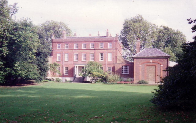
Bushy House

Bushy House is a Grade II* listed former residence of King William IV and Queen Adelaide in Teddington, London, which Lord Halifax had constructed for...

Hampton Pool

Hampton Pool is a heated open air pool or lido in Hampton in the London Borough of Richmond upon Thames. It is unusual for being open 365 days of the year...
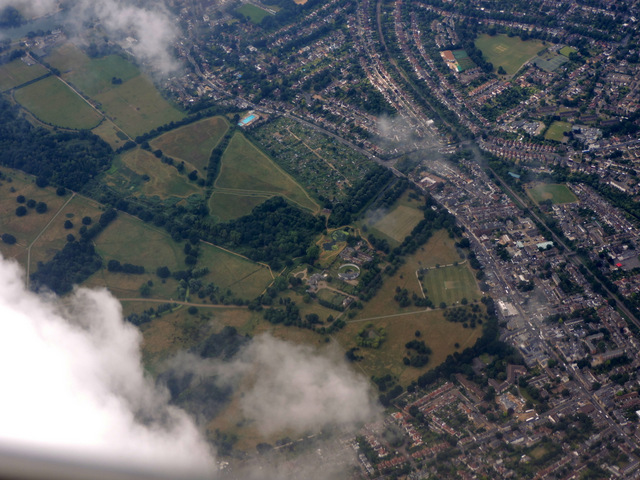
Bushy Park

Bushy Park in the London Borough of Richmond upon Thames is the second largest of London's Royal Parks, at 445 hectares (1,100 acres) in area, after Richmond...

Grove House, Hampton

Grove House is a Grade II* listed building at 100 High Street, Hampton in the London Borough of Richmond upon Thames. It dates from the late 17th century...

Admiralty Research Laboratory

The Admiralty Research Laboratory (ARL) was a research laboratory that supported the work of the UK Admiralty in Teddington, London, England from 1921...

Related Videos

HAMPTON COURT CIRCULAR WALK BEGINNER WALKERS!! DAY SUNDAY | 🇬🇧 Hiking UK | England

This walk explores the two royal parks next to Hampton Court Palace. This was originally built for Cardinal Wolsey, but when he ...

Hampton Court and Bushy Park walk | The Best Walk Near London | 🇬🇧 Hiking UK | England

2 deer parks and a royal palace Length: 7km. Walk Notes Through Hampton Court and Bushy Parks. This walk is best avoided ...

Beginner Walkers!! Hampton Court Circular London Walk | Hiking UK | England 🇬🇧

Attention all beginner walkers! Embark on a delightful Hampton Court Circular London Walk, specially designed for those starting ...

Beginner Walkers!! Discover the Enchanting Hampton Court Walk | 🇬🇧 Hiking UK | England

Calling all beginner walkers! Embark on a delightful walking adventure along the enchanting Hampton Court Walk, perfect for ...

Nearby Amenities

Located within 500m of 51.41925,-0.34825633
Cyclestreets Id: 44511
Lat/Long: 51.4170023/-0.3533697
Bicycle Parking
Bicycle Parking: stands
Capacity: 6
Check Date: 2022-06-12
Covered: no
Lat/Long: 51.4175416/-0.3511618
Bicycle Parking
Capacity: 6
Lat/Long: 51.4225204/-0.3435344
Bench
Lat/Long: 51.4169173/-0.3439009
Bench
Lat/Long: 51.4168029/-0.3450595
Bench
Lat/Long: 51.415882/-0.345029
Ford: yes
Lat/Long: 51.4202394/-0.3487734
Bench
Backrest: yes
Material: wood
Seats: 3
Lat/Long: 51.4216251/-0.3442382
Ford: yes
Lat/Long: 51.4163191/-0.3467502
Ford: yes
Lat/Long: 51.4161722/-0.3467143
Bench
Material: wood
Seats: 4
Lat/Long: 51.4216565/-0.3445655
Bench
Material: wood
Seats: 4
Lat/Long: 51.4217027/-0.3451663
Ford: yes
Lat/Long: 51.422094/-0.3514862
Bench
Backrest: no
Material: wood
Seats: 10
Lat/Long: 51.4210005/-0.3426077
Waterway: weir
Lat/Long: 51.4213599/-0.354465
Direction: 170
Information: map
Map Size: Bushy_Park
Map Type: topo
Operator: Royal Parks
Tourism: information
Lat/Long: 51.4174614/-0.3512701
Direction: 170
Information: map
Map Size: Bushy_Park
Map Type: topo
Operator: The Royal Parks
Tourism: information
Lat/Long: 51.4174583/-0.3512979
Waste Basket
Lat/Long: 51.4173596/-0.351273
Flag Type: athletic
Height: 10
Man Made: flagpole
Operator: TCC
Lat/Long: 51.4207739/-0.3423926
Bench
Lat/Long: 51.4179044/-0.3493753
Bench
Backrest: yes
Material: wood
Seats: 4
Lat/Long: 51.4150598/-0.3504514
Bench
Backrest: yes
Material: wood
Seats: 4
Lat/Long: 51.4150196/-0.3503481
Bench
Lat/Long: 51.4198096/-0.3435369
Bench
Lat/Long: 51.4202416/-0.3448203
Bench
Lat/Long: 51.420552/-0.3450131
The data included in this document is from www.openstreetmap.org. The data is made available under ODbL.

Have you been to Round Plantation?

Leave your review of Round Plantation below (or comments, questions and feedback).