Eldon Lane

Settlement in Durham

England

Eldon Lane

Train for Bishop Auckland, inside Shildon Tunnel
Train for Bishop Auckland, inside Shildon Tunnel Credit: Roger Cornfoot

Eldon Lane is a small residential area located in the city of Durham, in the northeast of England. Situated just a few miles south of the city center, Eldon Lane is a peaceful and close-knit community that offers a mix of residential properties.

The area is primarily composed of semi-detached houses and terraced cottages, which provide affordable housing options for both families and individuals. The architecture in Eldon Lane is a blend of traditional and modern styles, reflecting the area's long history and recent development.

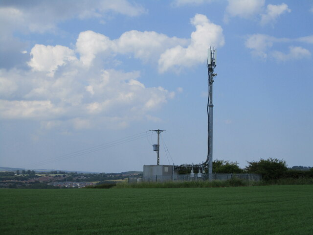
Eldon Lane benefits from its proximity to Durham city center, where residents can find a wide range of amenities including shops, restaurants, and recreational facilities. The area is also well-connected to the rest of Durham and the wider region, with regular bus services and easy access to major roads.

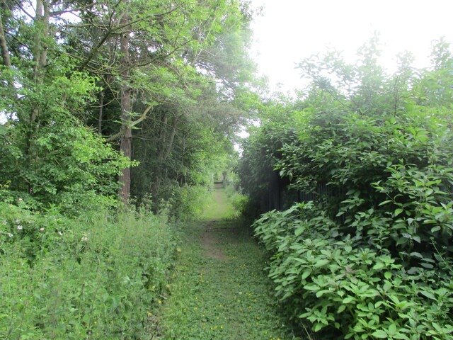
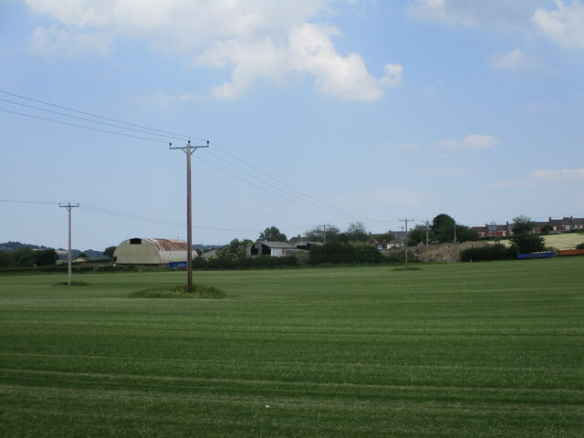
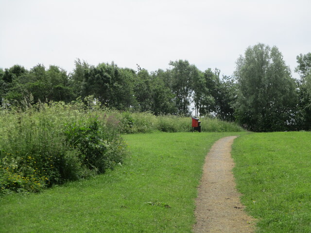
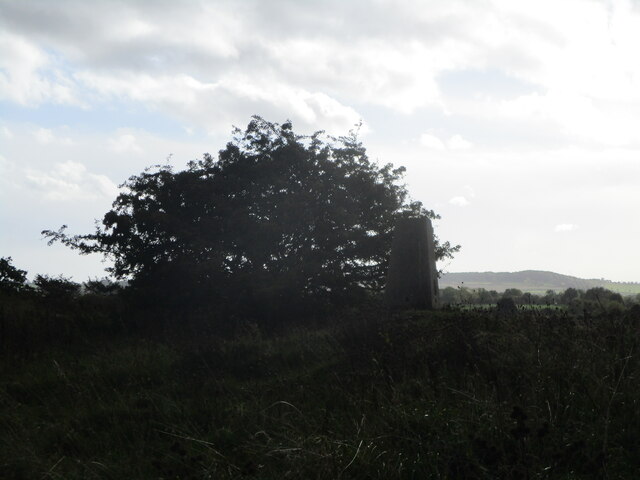
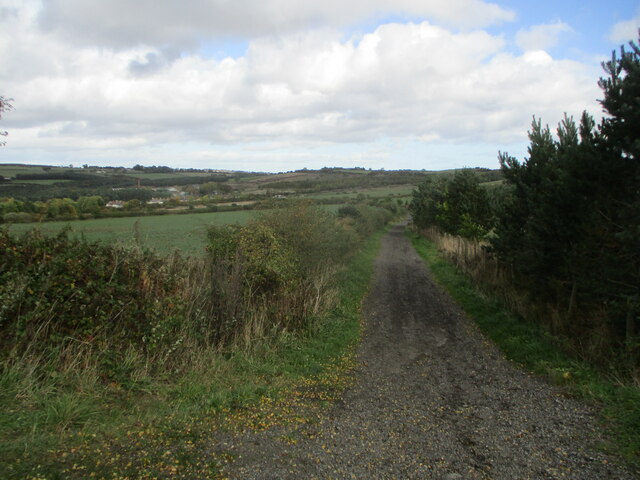
For outdoor enthusiasts, Eldon Lane is surrounded by beautiful countryside and green spaces, offering opportunities for walking, cycling, and other outdoor activities. The area is particularly popular with nature lovers due to its close proximity to the River Wear and the stunning Durham Dales.

Education is well-catered for in Eldon Lane, with a number of primary and secondary schools within the area. Additionally, Durham University, one of the leading higher education institutions in the UK, is just a short distance away.

Overall, Eldon Lane is a charming and convenient place to live, offering residents a peaceful residential setting with easy access to urban amenities and natural beauty.

If you have any feedback on the listing, please let us know in the comments section below.
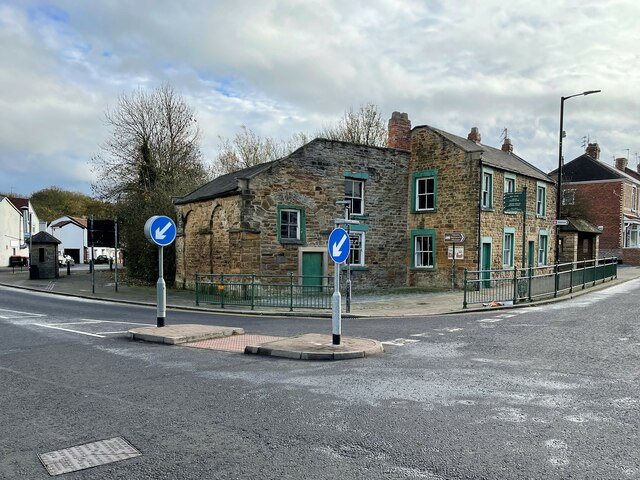
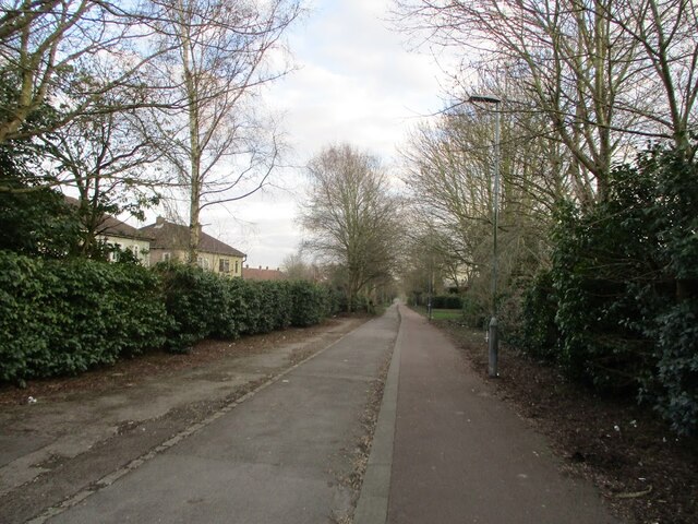
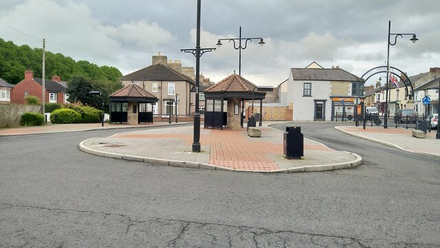
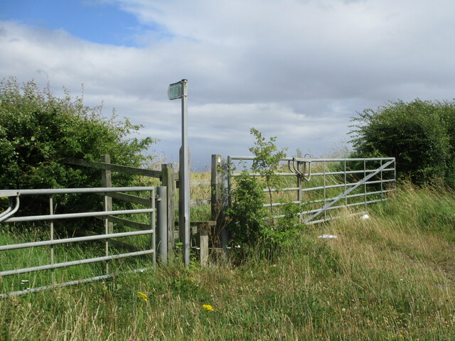
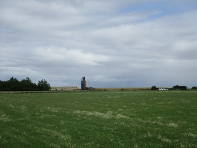
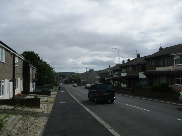
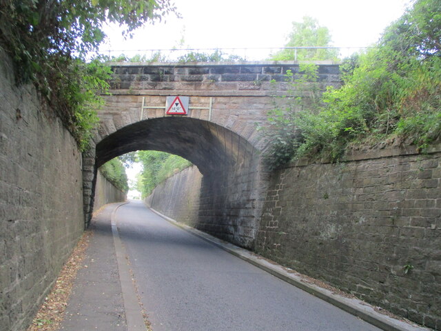
Eldon Lane Images

Images are sourced within 2km of 54.643482/-1.653642 or Grid Reference NZ2227. Thanks to Geograph Open Source API. All images are credited.

Train for Bishop Auckland, inside Shildon Tunnel
Shildon 2nd railway station (site), County Durham Known as "Daniel Adamson's coach house", this is claimed to be the world's first purpose built passenger railway terminus. The arches for the passenger shed can still be clearly made out, although now infilled. A single railway track ran into the building from the far side.
It was a small scale and short lived service dating to c.1832-3. Daniel Adamson ran a private horse-drawn coach along the Surtees railway (now a footpath), which ran onto the Stockton and Darlington Railway near the current Shildon station. However, the S&DR soon took over the running of all services using conventional steam-hauled trains, and this passenger service was abandoned.
Shildon 2nd railway station (site), County Durham
Known as "Daniel Adamson's coach house", this is claimed to be the world's first purpose built passenger railway terminus. The arches for the passenger shed can still be clearly made out, although now infilled. A single railway track ran into the building from the far side. It was a small scale and short lived service dating to c.1832-3. Daniel Adamson ran a private horse-drawn coach along the Surtees railway (now a footpath), which ran onto the Stockton and Darlington Railway near the current Shildon station. However, the S&DR soon took over the running of all services using conventional steam-hauled trains, and this passenger service was abandoned.
Old railway footpath, Shildon A footpath in Shildon where an old railway line used to be.
Old railway footpath, Shildon
A footpath in Shildon where an old railway line used to be.
King William bus stop - Shildon
Dismantled railway line near South Church A public footpath which used to be a railway, the railway went from Shildon to St Helen Auckland, although the footpath is sadly quite short and only covers a tiny bit of the tracks behind South Church industrial estate
Dismantled railway line near South Church
A public footpath which used to be a railway, the railway went from Shildon to St Helen Auckland, although the footpath is sadly quite short and only covers a tiny bit of the tracks behind South Church industrial estate
Telephone tower near Shildon A telephone tower in a farm near shildon
Telephone tower near Shildon
A telephone tower in a farm near shildon
Telephone lines going across a farm near Shildon
Millennium green - Shildon
Public footpath near Shildon A public footpath on the A6072 which is sadly overgrown by crops and inaccessible
Public footpath near Shildon
A public footpath on the A6072 which is sadly overgrown by crops and inaccessible
Farm near Shildon
Farm near Shildon
Auckland Terrace - Shildon
Railway bridge on Bonemill Bank Rail bridge carrying the Bishop line over Bonemill Bank; it is near the site of the short-lived South Church rail station.
Railway bridge on Bonemill Bank
Rail bridge carrying the Bishop line over Bonemill Bank; it is near the site of the short-lived South Church rail station.
Eldon Hall Farm trigpoint Trigpoint at Eldon Hall Farm near old eldon
Eldon Hall Farm trigpoint
Trigpoint at Eldon Hall Farm near old eldon
Footpath near Eldon
Footpath near Eldon
Bishop Auckland Cemetery Chapel Grade II listed chapel from 1884.

Details from Historic England: <span class="nowrap"><a title="https://historicengland.org.uk/listing/the-list/list-entry/1292016?section=official-list-entry" rel="nofollow ugc noopener" href="https://historicengland.org.uk/listing/the-list/list-entry/1292016?section=official-list-entry">Link</a><img style="margin-left:2px;" alt="External link" title="External link - shift click to open in new window" src="https://s1.geograph.org.uk/img/external.png" width="10" height="10"/></span>
Bishop Auckland Cemetery Chapel
Grade II listed chapel from 1884. Details from Historic England: LinkExternal link
St Andrew's Church C13th church, said to be the largest parish church in the Durham diocese.

Info from National Churches Trust: <span class="nowrap"><a title="https://www.nationalchurchestrust.org/church/st-andrew-south-church" rel="nofollow ugc noopener" href="https://www.nationalchurchestrust.org/church/st-andrew-south-church">Link</a><img style="margin-left:2px;" alt="External link" title="External link - shift click to open in new window" src="https://s1.geograph.org.uk/img/external.png" width="10" height="10"/></span>
St Andrew's Church
C13th church, said to be the largest parish church in the Durham diocese. Info from National Churches Trust: LinkExternal link
Rosemount Cemetery, South Church
Route of the Stockton & Darlington Railway Former trackbed of the S&DR, this section was constructed once Shildon tunnel on the branch to Bishop Auckland had been built, and replaced the rope worked Brussleton Inclines.
Route of the Stockton & Darlington Railway
Former trackbed of the S&DR, this section was constructed once Shildon tunnel on the branch to Bishop Auckland had been built, and replaced the rope worked Brussleton Inclines.
Show me another place!

Eldon Lane is located at Grid Ref: NZ2227 (Lat: 54.643482, Lng: -1.653642)

Unitary Authority: County Durham

Police Authority: Durham

What 3 Words

///reach.hired.lazy. Near Shildon, Co. Durham

Related Wikis

Tunnel Junction railway station

Tunnel Junction railway station co-served the village of Coundon Grange, in the historic county of County Palatine of Durham, England, from 1858 to 1863...

Eldon Lane

Eldon Lane is a village in County Durham, in England. It is situated a few miles south-west of Bishop Auckland, a short distance from Shildon. In 2001...

Coundon Grange

Coundon Grange is a village in the civil parish of Dene Valley, in County Durham, England. It is situated to the east of Bishop Auckland. In the 2001...

Dene Valley

Dene Valley is a civil parish in County Durham, England. It had a population of 2,478 at the 2011 Census. == References ==

Nearby Amenities

Located within 500m of 54.643482,-1.653642
Shildon Tunnel Junction
Historic Railway: junction
Railway: site
Lat/Long: 54.6425845/-1.6503309
Bus Stop
Rosemount Garage
Bus: yes
Naptan AtcoCode: 13004417D
Naptan Bearing: SE
Naptan CommonName: Rosemount Garage
Naptan Indicator: south east bound
Naptan Landmark: Landmark not known
Naptan NaptanCode: durdamtw
Naptan Notes: 20m NW of entrance to David Terrace- Rosemount Rd- Eldon Lane
Naptan Street: Rosemount Road
Naptan Verified: no
Public Transport: platform
Source: naptan_import
Lat/Long: 54.6456571/-1.6588926
Bus Stop
Rosemount Garage
Bus: yes
Naptan AtcoCode: 13004417H
Naptan Bearing: NW
Naptan CommonName: Rosemount Garage
Naptan Indicator: north west bound
Naptan Landmark: Landmark not known
Naptan NaptanCode: durdamwa
Naptan Notes: Sales Garage- Rosemount Rd- Eldon Lane
Naptan Street: Rosemount Road
Naptan Verified: no
Public Transport: platform
Source: naptan_import
Lat/Long: 54.6458209/-1.659635
Bus Stop
Margaret Terrace
Bus: yes
Naptan AtcoCode: 13004418B
Naptan Bearing: NE
Naptan CommonName: Margaret Terrace
Naptan Indicator: north east bound
Naptan Landmark: Landmark not known
Naptan NaptanCode: durdamwd
Naptan Notes: 3- Mary Terrace- Eldon Lane
Naptan Street: Margaret Terrace
Naptan Verified: no
Public Transport: platform
Source: naptan_import
Lat/Long: 54.6453214/-1.6546184
Bus Stop
Margaret Terrace
Bus: yes
Naptan AtcoCode: 13004418F
Naptan Bearing: SW
Naptan CommonName: Margaret Terrace
Naptan Indicator: south west bound
Naptan Landmark: Landmark not known
Naptan NaptanCode: durdamwg
Naptan Notes: 22- David Terrace- Eldon Lane
Naptan Street: Margaret Terrace
Naptan Verified: no
Public Transport: platform
Source: naptan_import
Lat/Long: 54.6451426/-1.6549608
Bus Stop
Oxford Street
Bus: yes
Naptan AtcoCode: 13004419D
Naptan Bearing: SE
Naptan CommonName: Oxford Street
Naptan Indicator: south east bound
Naptan Landmark: Landmark not known
Naptan NaptanCode: durdamwj
Naptan Notes: 4- Gray Street- Eldon Lane
Naptan Street: High Street
Naptan Verified: no
Public Transport: platform
Source: naptan_import
Lat/Long: 54.6452127/-1.6511791
Bus Stop
Oxford Street
Bus: yes
Naptan AtcoCode: 13004419H
Naptan Bearing: NW
Naptan CommonName: Oxford Street
Naptan Indicator: north west bound
Naptan Landmark: Landmark not known
Naptan NaptanCode: durdamwm
Naptan Notes: opp 6- Lime Terrace- Eldon Lane
Naptan Street: High Street
Naptan Verified: no
Public Transport: platform
Source: naptan_import
Lat/Long: 54.6452678/-1.651597
Bus Stop
Railway Houses
Bus: yes
Naptan AtcoCode: 13004420H
Naptan Bearing: NW
Naptan CommonName: Railway Houses
Naptan Indicator: north west bound
Naptan Landmark: Landmark not known
Naptan NaptanCode: durdamwp
Naptan Notes: just south east of 5- Railway Houses- Coundon Grange- Bishop Auckland
Naptan Street: High Street
Naptan Verified: no
Public Transport: platform
Source: naptan_import
Lat/Long: 54.6445521/-1.6496042
Bus Stop
Working Mens Club
Bus: yes
Naptan AtcoCode: 13004421A
Naptan Bearing: N
Naptan CommonName: Working Mens Club
Naptan Indicator: north bound
Naptan Landmark: Landmark not known
Naptan NaptanCode: durdamwt
Naptan Notes: 7- Spencer Street- Eldon Lane
Naptan Street: Spencer Street
Naptan Verified: no
Public Transport: platform
Source: naptan_import
Lat/Long: 54.6448909/-1.648656
Post Office
Eldon Lane Mobile Service Post Office
Addr City: Bishop Auckland
Addr Postcode: DL14 8TD
Addr Suburb: Eldon
Brand: Post Office
Brand Wikidata: Q1783168
Contact Website: https://www.postoffice.co.uk/branch-finder/7593090/eldon-lane-mobile-service
Ref Pol Id: 135970
Lat/Long: 54.6444119/-1.6482537
Adelaide Colliery
Historic: mine
Mineral: coal
Source: OS 1:25k
Lat/Long: 54.6417314/-1.6565284
Generator Method: photovoltaic
Generator Orientation: 170
Generator Output Electricity: yes
Generator Solar Modules: 16
Generator Source: solar
Generator Type: solar_photovoltaic_panel
Location: roof
Power: generator
Lat/Long: 54.6402068/-1.6570242
Generator Method: photovoltaic
Generator Orientation: 170
Generator Output Electricity: yes
Generator Solar Modules: 8
Generator Source: solar
Generator Type: solar_photovoltaic_panel
Location: roof
Power: generator
Lat/Long: 54.6397458/-1.6567747
Eldon Lane
Place: village
Wikidata: Q1325625
Wikipedia: en:Eldon Lane
Lat/Long: 54.6457959/-1.6525519
The data included in this document is from www.openstreetmap.org. The data is made available under ODbL.

Have you been to Eldon Lane?

Leave your review of Eldon Lane below (or comments, questions and feedback).