Lime Terrace

Settlement in Durham

England

Lime Terrace

Tittybottle Park, Bishop Auckland The delightfully named 'Tittybottle Park' which was restored in 2011. The origin of the name - a nickname really - is reportedly that nursemaids would gather there in earlier times when this was an affluent part of the town to chat and feed their babies. The view is from the entrance gate.
It seems that there are other parks known by the same name, either officially or colloquially - here's one from Otley - <a title="https://www.geograph.org.uk/photo/1937873" href="https://www.geograph.org.uk/photo/1937873">Link</a> .
Tittybottle Park, Bishop Auckland Credit: Trevor Littlewood

Lime Terrace is a residential neighborhood located in Durham, a historic city in the northeast of England. Nestled in the heart of the city, Lime Terrace offers a charming and convenient place to call home. The neighborhood is primarily composed of Victorian and Georgian-style houses, adding to its architectural appeal.

The location of Lime Terrace is its greatest asset, as it provides easy access to Durham's numerous amenities. Just a short walk away, residents can find themselves in the bustling city center, where they can explore a variety of shops, restaurants, and bars. Durham Cathedral, a UNESCO World Heritage Site, is also within close proximity, offering residents a chance to immerse themselves in the city's rich history and culture.

Lime Terrace is an ideal neighborhood for families and professionals alike, as it is in close proximity to several highly regarded schools and universities. Durham University, one of the oldest and most prestigious universities in the country, is just a stone's throw away, making it an attractive option for students and academics.

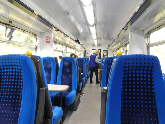
In terms of transportation, Lime Terrace benefits from excellent connectivity. The Durham train station is within walking distance, providing convenient access to major cities like Newcastle and York. Additionally, the neighborhood is well-served by local bus routes, making it easy to navigate the wider region.

Overall, Lime Terrace offers a delightful combination of historical charm, convenient location, and access to amenities, making it a highly sought-after place to live in Durham.

If you have any feedback on the listing, please let us know in the comments section below.
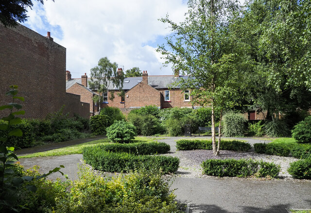
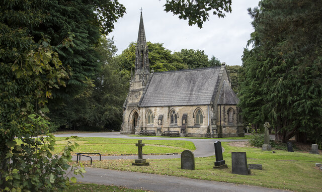
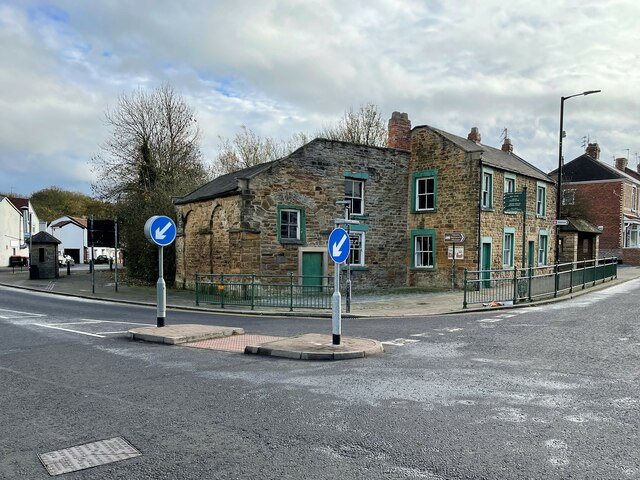
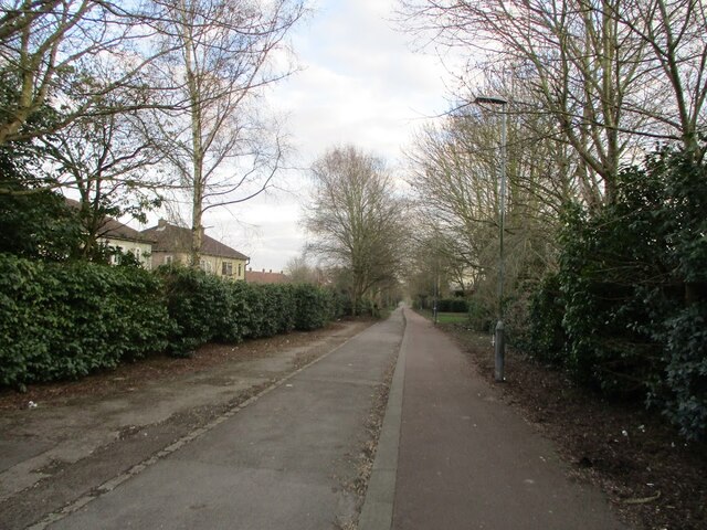
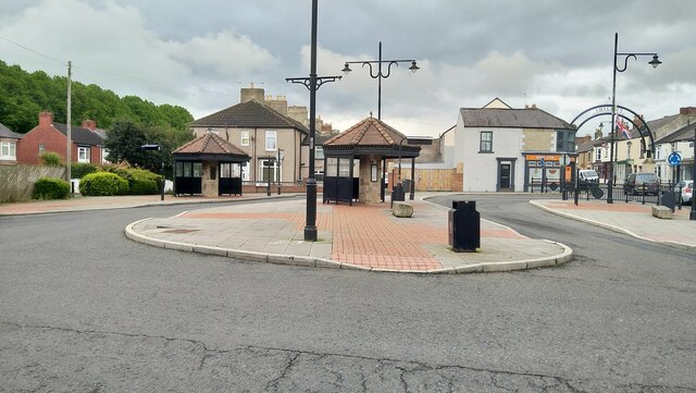
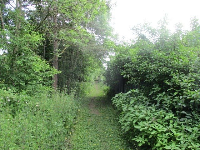
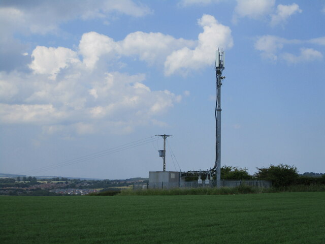
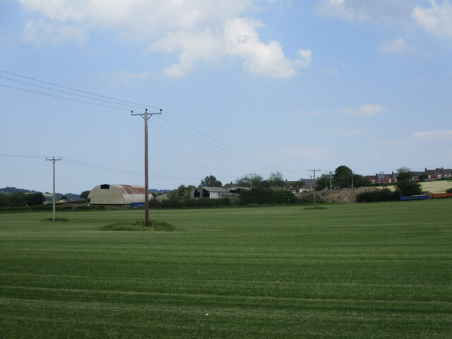
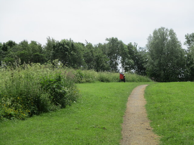
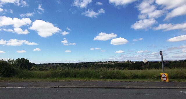
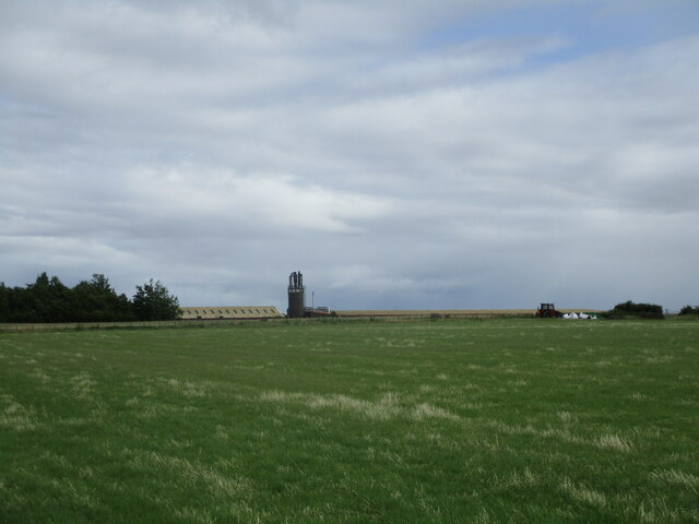
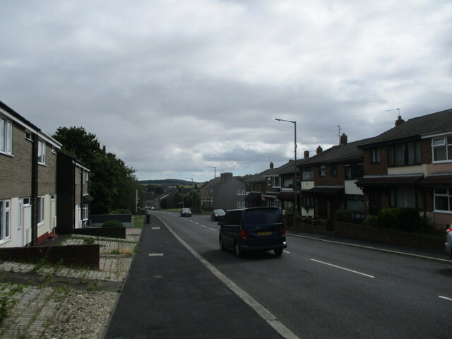
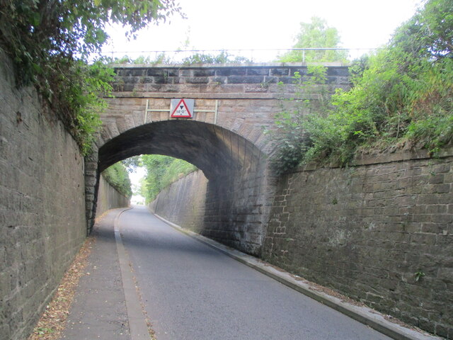
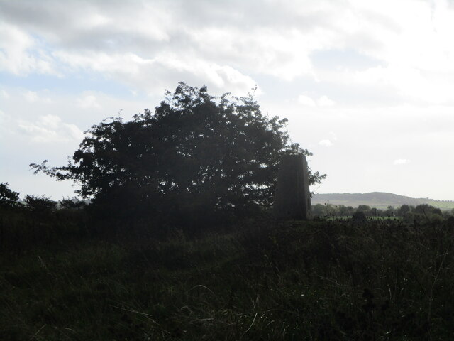
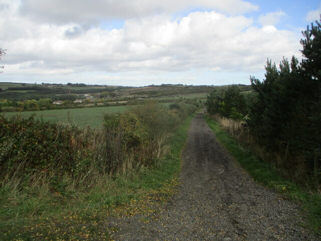
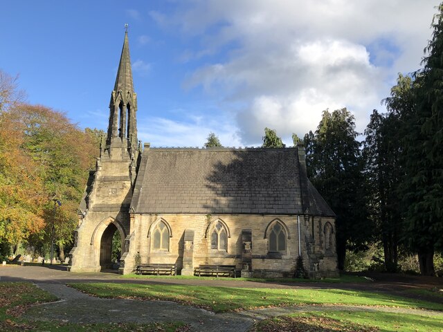
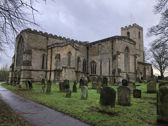
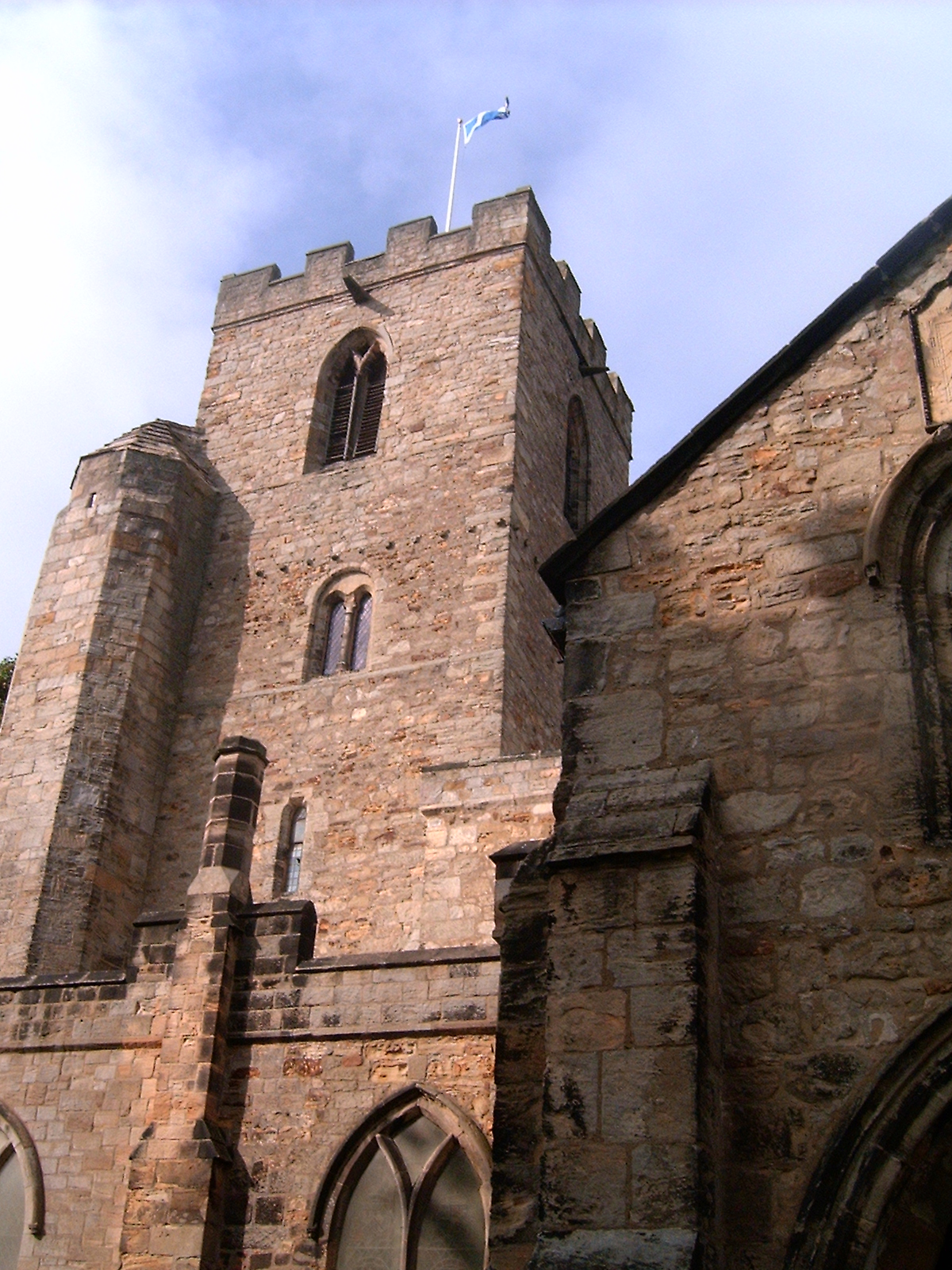
Lime Terrace Images

Images are sourced within 2km of 54.645448/-1.6516351 or Grid Reference NZ2227. Thanks to Geograph Open Source API. All images are credited.

Tittybottle Park, Bishop Auckland The delightfully named 'Tittybottle Park' which was restored in 2011. The origin of the name - a nickname really - is reportedly that nursemaids would gather there in earlier times when this was an affluent part of the town to chat and feed their babies. The view is from the entrance gate.
It seems that there are other parks known by the same name, either officially or colloquially - here's one from Otley - <a title="https://www.geograph.org.uk/photo/1937873" href="https://www.geograph.org.uk/photo/1937873">Link</a> .
Tittybottle Park, Bishop Auckland
The delightfully named 'Tittybottle Park' which was restored in 2011. The origin of the name - a nickname really - is reportedly that nursemaids would gather there in earlier times when this was an affluent part of the town to chat and feed their babies. The view is from the entrance gate. It seems that there are other parks known by the same name, either officially or colloquially - here's one from Otley - Link .
Bishop Auckland Cemetery chapel The chapel, built around 1894 is grade II listed. The cemetery in which it's situated is to the east of the town centre on undulating ground through which flows the River Gaunless.
Bishop Auckland Cemetery chapel
The chapel, built around 1894 is grade II listed. The cemetery in which it's situated is to the east of the town centre on undulating ground through which flows the River Gaunless.
Train for Bishop Auckland, inside Shildon Tunnel
Shildon 2nd railway station (site), County Durham Known as "Daniel Adamson's coach house", this is claimed to be the world's first purpose built passenger railway terminus. The arches for the passenger shed can still be clearly made out, although now infilled. A single railway track ran into the building from the far side.
It was a small scale and short lived service dating to c.1832-3. Daniel Adamson ran a private horse-drawn coach along the Surtees railway (now a footpath), which ran onto the Stockton and Darlington Railway near the current Shildon station. However, the S&DR soon took over the running of all services using conventional steam-hauled trains, and this passenger service was abandoned.
Shildon 2nd railway station (site), County Durham
Known as "Daniel Adamson's coach house", this is claimed to be the world's first purpose built passenger railway terminus. The arches for the passenger shed can still be clearly made out, although now infilled. A single railway track ran into the building from the far side. It was a small scale and short lived service dating to c.1832-3. Daniel Adamson ran a private horse-drawn coach along the Surtees railway (now a footpath), which ran onto the Stockton and Darlington Railway near the current Shildon station. However, the S&DR soon took over the running of all services using conventional steam-hauled trains, and this passenger service was abandoned.
Old railway footpath, Shildon A footpath in Shildon where an old railway line used to be.
Old railway footpath, Shildon
A footpath in Shildon where an old railway line used to be.
King William bus stop - Shildon
Dismantled railway line near South Church A public footpath which used to be a railway, the railway went from Shildon to St Helen Auckland, although the footpath is sadly quite short and only covers a tiny bit of the tracks behind South Church industrial estate
Dismantled railway line near South Church
A public footpath which used to be a railway, the railway went from Shildon to St Helen Auckland, although the footpath is sadly quite short and only covers a tiny bit of the tracks behind South Church industrial estate
Telephone tower near Shildon A telephone tower in a farm near shildon
Telephone tower near Shildon
A telephone tower in a farm near shildon
Telephone lines going across a farm near Shildon
Millennium green - Shildon
Fields off Durham Road - Bishop Auckland
Farm near Shildon
Farm near Shildon
Auckland Terrace - Shildon
Railway bridge on Bonemill Bank Rail bridge carrying the Bishop line over Bonemill Bank; it is near the site of the short-lived South Church rail station.
Railway bridge on Bonemill Bank
Rail bridge carrying the Bishop line over Bonemill Bank; it is near the site of the short-lived South Church rail station.
Eldon Hall Farm trigpoint Trigpoint at Eldon Hall Farm near old eldon
Eldon Hall Farm trigpoint
Trigpoint at Eldon Hall Farm near old eldon
Footpath near Eldon
Footpath near Eldon
Bishop Auckland Cemetery Chapel Grade II listed chapel from 1884.

Details from Historic England: <span class="nowrap"><a title="https://historicengland.org.uk/listing/the-list/list-entry/1292016?section=official-list-entry" rel="nofollow ugc noopener" href="https://historicengland.org.uk/listing/the-list/list-entry/1292016?section=official-list-entry">Link</a><img style="margin-left:2px;" alt="External link" title="External link - shift click to open in new window" src="https://s1.geograph.org.uk/img/external.png" width="10" height="10"/></span>
Bishop Auckland Cemetery Chapel
Grade II listed chapel from 1884. Details from Historic England: LinkExternal link
St Andrew's Church C13th church, said to be the largest parish church in the Durham diocese.

Info from National Churches Trust: <span class="nowrap"><a title="https://www.nationalchurchestrust.org/church/st-andrew-south-church" rel="nofollow ugc noopener" href="https://www.nationalchurchestrust.org/church/st-andrew-south-church">Link</a><img style="margin-left:2px;" alt="External link" title="External link - shift click to open in new window" src="https://s1.geograph.org.uk/img/external.png" width="10" height="10"/></span>
St Andrew's Church
C13th church, said to be the largest parish church in the Durham diocese. Info from National Churches Trust: LinkExternal link
Show me another place!

Lime Terrace is located at Grid Ref: NZ2227 (Lat: 54.645448, Lng: -1.6516351)

Unitary Authority: County Durham

Police Authority: Durham

What 3 Words

///wedge.under.early. Near Shildon, Co. Durham

Related Wikis

Eldon Lane

Eldon Lane is a village in County Durham, in England. It is situated a few miles south-west of Bishop Auckland, a short distance from Shildon. In 2001...

Coundon Grange

Coundon Grange is a village in County Durham, England. It is situated to the east of Bishop Auckland. In the 2001 census Coundon Grange had a population...

Tunnel Junction railway station

Tunnel Junction railway station co-served the village of Coundon Grange, in the historic county of County Palatine of Durham, England, from 1858 to 1863...

Dene Valley

Dene Valley is a civil parish in County Durham, England. It had a population of 2,478 at the 2011 Census. == References ==

Close House, County Durham

Close House is a village in County Durham, in England. It is situated a short distance to the north of Shildon, near to Eldon and Coundon Grange. In the...

Eldon, County Durham

Eldon is a village in County Durham, England. It is situated a few miles south-west of Bishop Auckland, a short distance from Shildon. It gives its name...

South Church railway station

South Church railway station was on the Stockton and Darlington Railway. == History == The first section of the Bishop Auckland and Weardale Railway, from...

South Church, County Durham

South Church is a village just south of Bishop Auckland in County Durham, England. St Andrew's church is the largest church in County Durham and a Grade...

Nearby Amenities

Located within 500m of 54.645448,-1.6516351
Shildon Tunnel Junction
Historic Railway: junction
Railway: site
Lat/Long: 54.6425845/-1.6503309
Coundon Grange
Place: village
Source: NPE
Wikidata: Q5176604
Wikipedia: en:Coundon Grange
Lat/Long: 54.647567/-1.6473313
Bus Stop
Rosemount Garage
Bus: yes
Naptan AtcoCode: 13004417D
Naptan Bearing: SE
Naptan CommonName: Rosemount Garage
Naptan Indicator: south east bound
Naptan Landmark: Landmark not known
Naptan NaptanCode: durdamtw
Naptan Notes: 20m NW of entrance to David Terrace- Rosemount Rd- Eldon Lane
Naptan Street: Rosemount Road
Naptan Verified: no
Public Transport: platform
Source: naptan_import
Lat/Long: 54.6456571/-1.6588926
Bus Stop
Margaret Terrace
Bus: yes
Naptan AtcoCode: 13004418B
Naptan Bearing: NE
Naptan CommonName: Margaret Terrace
Naptan Indicator: north east bound
Naptan Landmark: Landmark not known
Naptan NaptanCode: durdamwd
Naptan Notes: 3- Mary Terrace- Eldon Lane
Naptan Street: Margaret Terrace
Naptan Verified: no
Public Transport: platform
Source: naptan_import
Lat/Long: 54.6453214/-1.6546184
Bus Stop
Margaret Terrace
Bus: yes
Naptan AtcoCode: 13004418F
Naptan Bearing: SW
Naptan CommonName: Margaret Terrace
Naptan Indicator: south west bound
Naptan Landmark: Landmark not known
Naptan NaptanCode: durdamwg
Naptan Notes: 22- David Terrace- Eldon Lane
Naptan Street: Margaret Terrace
Naptan Verified: no
Public Transport: platform
Source: naptan_import
Lat/Long: 54.6451426/-1.6549608
Bus Stop
Oxford Street
Bus: yes
Naptan AtcoCode: 13004419D
Naptan Bearing: SE
Naptan CommonName: Oxford Street
Naptan Indicator: south east bound
Naptan Landmark: Landmark not known
Naptan NaptanCode: durdamwj
Naptan Notes: 4- Gray Street- Eldon Lane
Naptan Street: High Street
Naptan Verified: no
Public Transport: platform
Source: naptan_import
Lat/Long: 54.6452127/-1.6511791
Bus Stop
Oxford Street
Bus: yes
Naptan AtcoCode: 13004419H
Naptan Bearing: NW
Naptan CommonName: Oxford Street
Naptan Indicator: north west bound
Naptan Landmark: Landmark not known
Naptan NaptanCode: durdamwm
Naptan Notes: opp 6- Lime Terrace- Eldon Lane
Naptan Street: High Street
Naptan Verified: no
Public Transport: platform
Source: naptan_import
Lat/Long: 54.6452678/-1.651597
Bus Stop
Railway Houses
Bus: yes
Naptan AtcoCode: 13004420H
Naptan Bearing: NW
Naptan CommonName: Railway Houses
Naptan Indicator: north west bound
Naptan Landmark: Landmark not known
Naptan NaptanCode: durdamwp
Naptan Notes: just south east of 5- Railway Houses- Coundon Grange- Bishop Auckland
Naptan Street: High Street
Naptan Verified: no
Public Transport: platform
Source: naptan_import
Lat/Long: 54.6445521/-1.6496042
Bus Stop
Working Mens Club
Bus: yes
Naptan AtcoCode: 13004421A
Naptan Bearing: N
Naptan CommonName: Working Mens Club
Naptan Indicator: north bound
Naptan Landmark: Landmark not known
Naptan NaptanCode: durdamwt
Naptan Notes: 7- Spencer Street- Eldon Lane
Naptan Street: Spencer Street
Naptan Verified: no
Public Transport: platform
Source: naptan_import
Lat/Long: 54.6448909/-1.648656
Bus Stop
Randolph Street
Bus: yes
Naptan AtcoCode: 13004422D
Naptan Bearing: SE
Naptan BusStopType: MKD
Naptan CommonName: Randolph Street
Naptan Indicator: SE-bound
Naptan NaptanCode: durdapag
Naptan Notes: opp Randolph Street- Gibson Street- Coundon Grange- Bishop Auckland
Naptan RevisionNumber: 4
Naptan Street: Unclassified Road
Naptan Verified: no
Old Name: Coundon Grange
Public Transport: platform
Source: naptan_import
Lat/Long: 54.6473815/-1.646
Bus Stop
Randolph Street
Bus: yes
Naptan AtcoCode: 13004422H
Naptan Bearing: NW
Naptan BusStopType: MKD
Naptan CommonName: Randolph Street
Naptan Indicator: NW-bound
Naptan NaptanCode: durdapaj
Naptan Notes: 20m south east of Randolf Street- Gibson Street- Coundon Grange- Bishop Auckland
Naptan RevisionNumber: 4
Naptan Street: Unclassified Road
Naptan Verified: no
Old Name: Coundon Grange
Public Transport: platform
Source: naptan_import
Lat/Long: 54.6470302/-1.6457086
Turning Circle
Lat/Long: 54.6473174/-1.6452296
Post Office
Eldon Lane Mobile Service Post Office
Addr City: Bishop Auckland
Addr Postcode: DL14 8TD
Addr Suburb: Eldon
Brand: Post Office
Brand Wikidata: Q1783168
Contact Website: https://www.postoffice.co.uk/branch-finder/7593090/eldon-lane-mobile-service
Ref Pol Id: 135970
Lat/Long: 54.6444119/-1.6482537
Black Boy Junction
Historic Railway: junction
Railway: site
Lat/Long: 54.6481006/-1.6544375
Eldon Lane
Place: village
Wikidata: Q1325625
Wikipedia: en:Eldon Lane
Lat/Long: 54.6457959/-1.6525519
The data included in this document is from www.openstreetmap.org. The data is made available under ODbL.

Have you been to Lime Terrace?

Leave your review of Lime Terrace below (or comments, questions and feedback).