Dane Spring
Wood, Forest in Hertfordshire St. Albans
England
Dane Spring

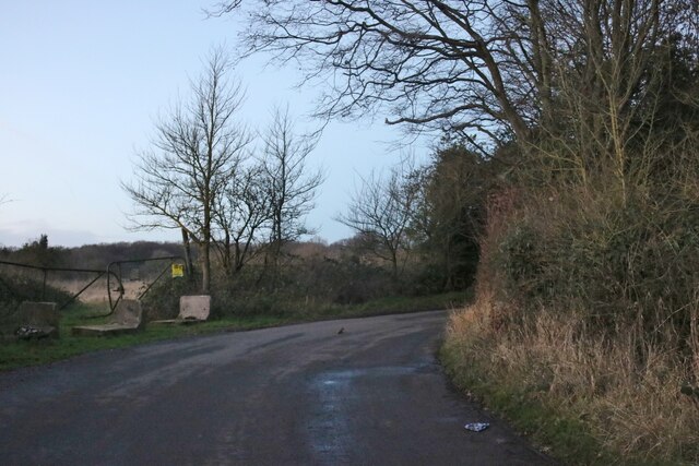
Dane Spring is a picturesque woodland located in Hertfordshire, England. It is renowned for its natural beauty and offers a serene escape from the bustling city life. Spanning over a vast area, the woodland is predominantly covered with a variety of trees, including oak, beech, and birch. This diverse vegetation creates a rich and vibrant ecosystem, attracting a wide range of wildlife.
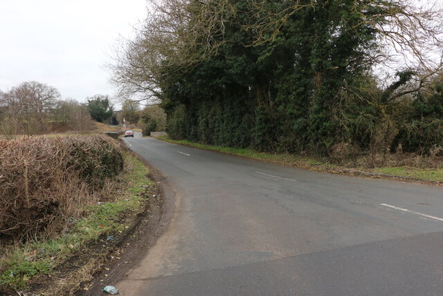
The woodland is intersected by numerous pathways that allow visitors to explore the area at their own pace. These well-maintained trails provide a pleasant walking experience and are suitable for individuals of all fitness levels. Along the way, visitors can enjoy the soothing sounds of birdsong and the rustling of leaves underfoot, immersing themselves in the tranquility of nature.
Dane Spring is particularly renowned for its springtime display of bluebells. During the months of April and May, the forest floor is carpeted with a stunning sea of blue, creating a breathtaking sight that attracts nature enthusiasts and photographers alike. This annual spectacle is a testament to the woodland's commitment to conservation and preservation of its natural treasures.
In addition to its natural beauty, Dane Spring also offers various recreational activities for visitors. These include picnicking, birdwatching, and nature photography. The woodland is equipped with picnic areas and benches, providing a perfect spot for visitors to relax and enjoy a meal amidst the serene surroundings.
Overall, Dane Spring in Hertfordshire is a hidden gem that offers a delightful retreat for nature lovers. Its lush greenery, diverse wildlife, and scenic trails make it an ideal destination for those seeking tranquility and a connection with the great outdoors.
If you have any feedback on the listing, please let us know in the comments section below.
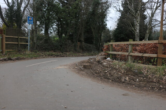
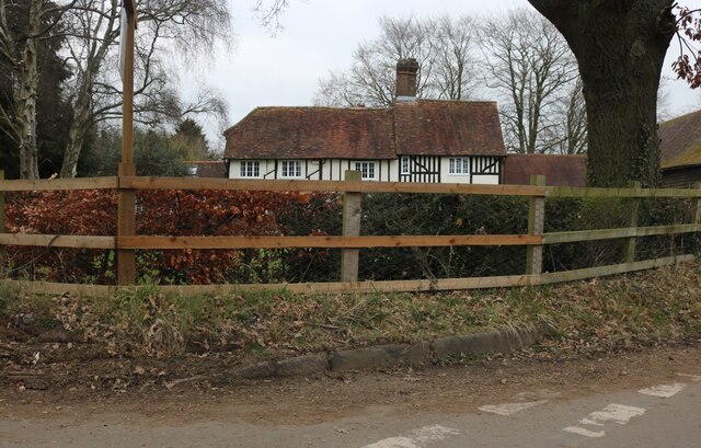
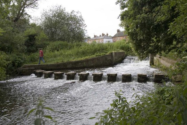
Dane Spring Images
Images are sourced within 2km of 51.841577/-0.33508054 or Grid Reference TL1417. Thanks to Geograph Open Source API. All images are credited.


Dane Spring is located at Grid Ref: TL1417 (Lat: 51.841577, Lng: -0.33508054)
Administrative County: Hertfordshire
District: St. Albans
Police Authority: Hertfordshire
What 3 Words
///today.spout.bunny. Near Kimpton, Hertfordshire
Nearby Locations
Related Wikis

Bower Heath
Bower Heath is a hamlet in Hertfordshire, England. It is in the civil parish of Harpenden.

East Hyde
East Hyde is a village in the civil parish of Hyde, in the Central Bedfordshire district, in the ceremonial county of Bedfordshire, England. East Hyde...

Ansells End
Ansells End is a hamlet of four historic homes in Hertfordshire, England. The population of the hamlet at the 2011 Census was included in the civil parish...
Batford Springs
Batford Springs is a 3.5-hectare (8.6-acre) Local Nature Reserve in Harpenden in Hertfordshire. It is owned and managed by Harpenden Town Council, and...
Nearby Amenities
Located within 500m of 51.841577,-0.33508054Have you been to Dane Spring?
Leave your review of Dane Spring below (or comments, questions and feedback).