High Wood
Wood, Forest in Sussex Horsham
England
High Wood
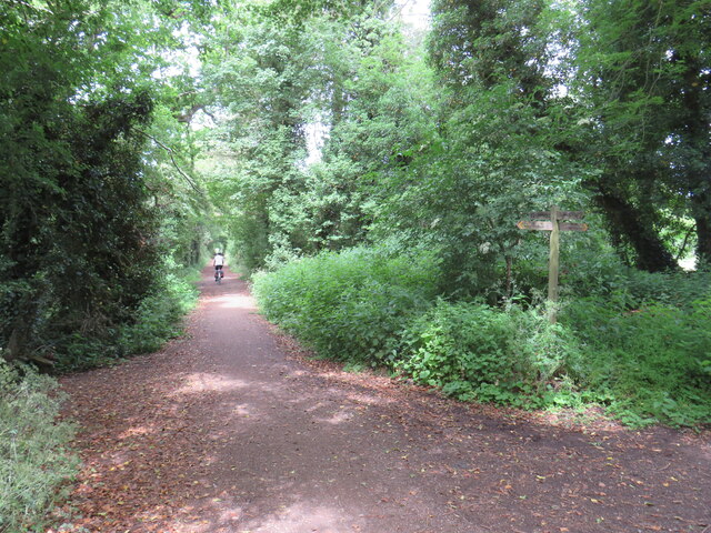
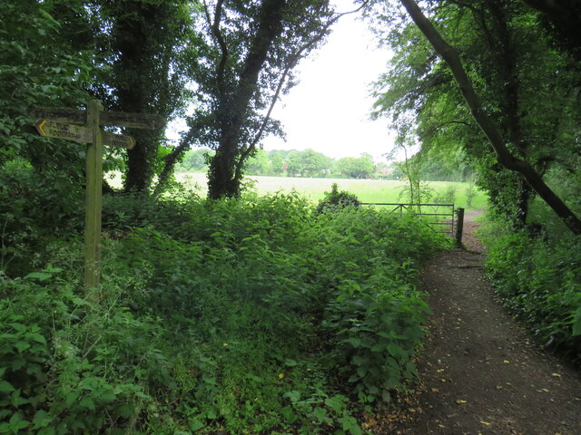
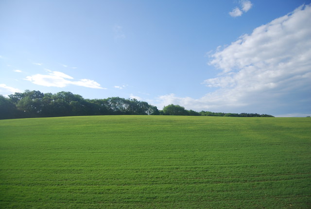
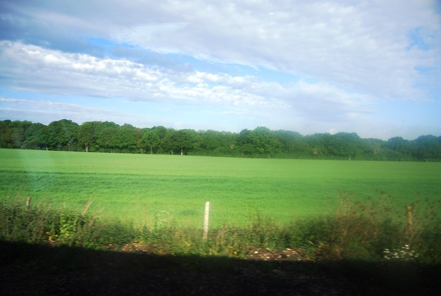
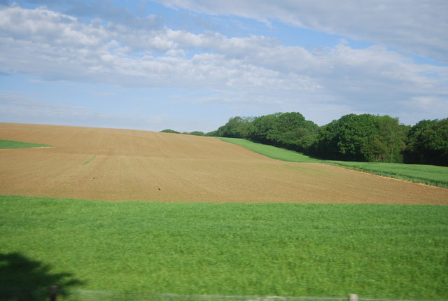
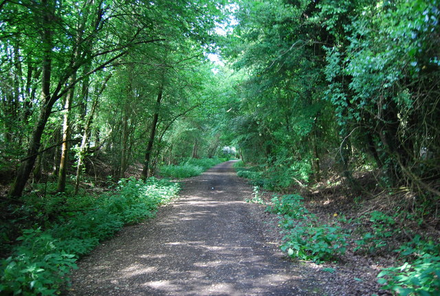
High Wood, Sussex is a picturesque woodland located in the county of Sussex, England. Situated in the southern part of the county, High Wood is part of a larger forested area known for its natural beauty and diverse wildlife.
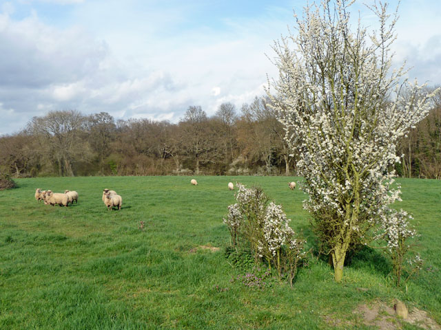
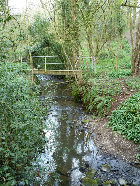
Covering an area of approximately 500 acres, High Wood is characterized by its dense canopy of trees, including oak, beech, and birch. The wood is known for its thick undergrowth, which provides a habitat for a wide variety of plant and animal species. Bluebells and wildflowers can be seen carpeting the forest floor during the spring months, adding to its visual appeal.
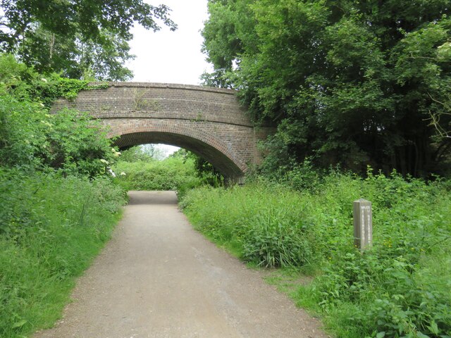
The wood is a popular destination for nature lovers and outdoor enthusiasts alike. There are several well-maintained walking trails that wind through the woodland, offering visitors the opportunity to explore its enchanting scenery. Birdwatchers flock to High Wood to catch glimpses of various species, including woodpeckers, owls, and various songbirds.
High Wood is also steeped in history. It is said to have been a hunting ground for the royalty in centuries past, evidenced by the presence of preserved deer stands and hunting lodges. The wood has also played a role in local folklore and legends, adding to its mystique.
Overall, High Wood, Sussex is a captivating forested area that offers visitors a chance to immerse themselves in nature, enjoy scenic walks, and discover the rich history and wildlife that the wood has to offer.
If you have any feedback on the listing, please let us know in the comments section below.
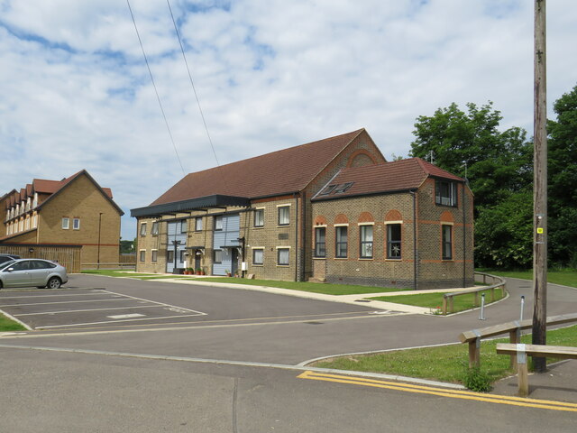
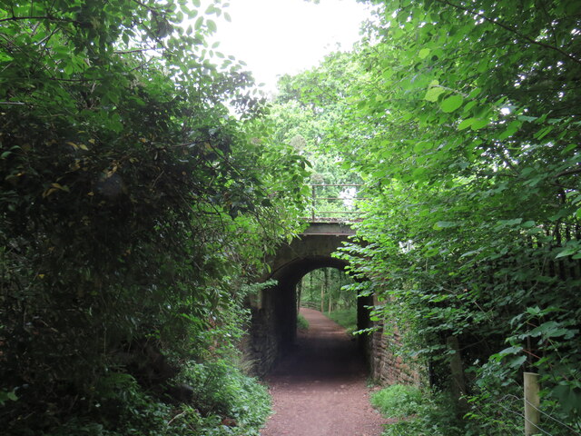
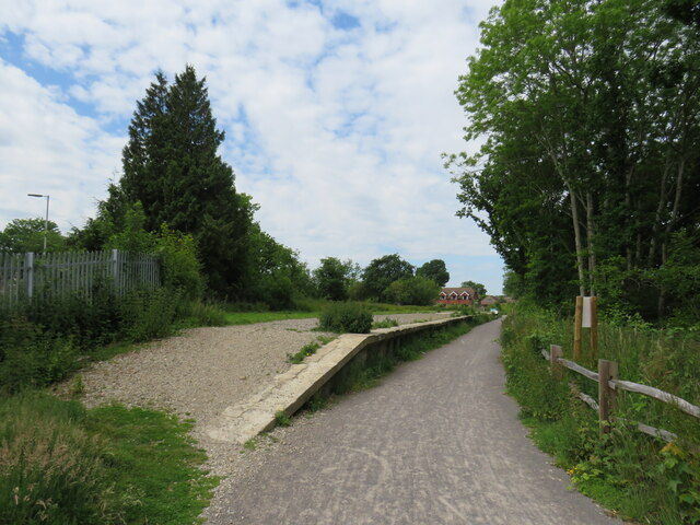
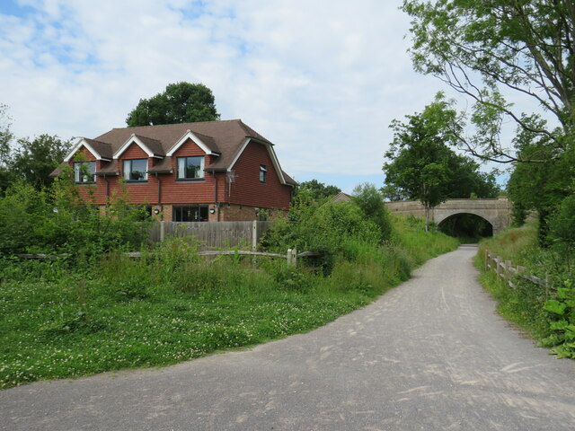
High Wood Images
Images are sourced within 2km of 51.056934/-0.36349301 or Grid Reference TQ1429. Thanks to Geograph Open Source API. All images are credited.

High Wood is located at Grid Ref: TQ1429 (Lat: 51.056934, Lng: -0.36349301)
Administrative County: West Sussex
District: Horsham
Police Authority: Sussex
What 3 Words
///mole.jump.smooth. Near Horsham, West Sussex
Nearby Locations
Related Wikis
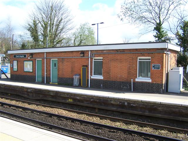
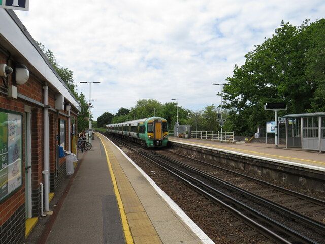
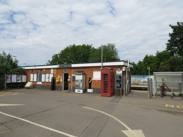
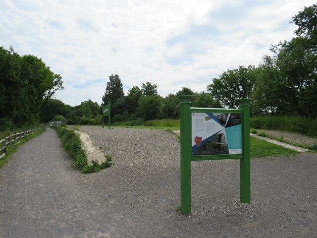
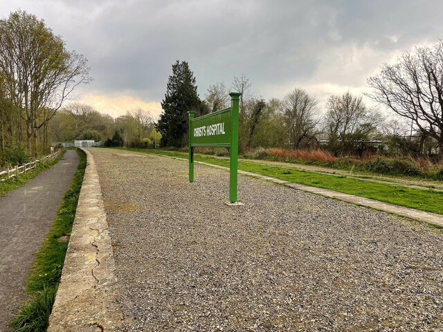
Christ's Hospital railway station
Christ's Hospital railway station is near Horsham in West Sussex, England. It is 40 miles 7 chains (64.5 km) down the line from London Bridge via Redhill...

Broadbridge Heath F.C.
Broadbridge Heath Football Club is a football club based in Broadbridge Heath, near Horsham, in West Sussex, England. They are currently members of the...
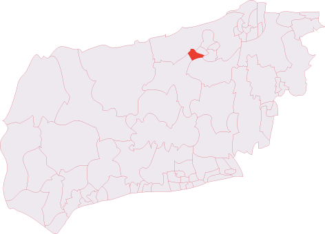
Horsham Tanbridge & Broadbridge Heath (electoral division)
Horsham Tanbridge & Broadbridge Heath is an electoral division of West Sussex in England, and returns one member to sit on West Sussex County Council....
Tanbridge House School
Tanbridge House School is a coeducational secondary school located in Horsham, West Sussex, England. Its current head master is Mr Sheridan who started...
Christ's Hospital
Christ's Hospital is a public school (English fee-charging boarding school for pupils aged 11–18) with a royal charter located to the south of Horsham...

Broadbridge Heath
Broadbridge Heath is a village and civil parish in the Horsham district of West Sussex, England. It is about two miles (3 km) west from the historic centre...
Itchingfield
Itchingfield is a small village and civil parish in the Horsham district of West Sussex, England. It lies on the Barns Green to Broadbridge Heath road...
Haywards Heath Town F.C. Women
Haywards Heath Town F.C. Women (formerly Crawley Wasps Ladies FC) is an English women's football club, that currently plays in the FA Women's National...
Nearby Amenities
Located within 500m of 51.056934,-0.36349301Have you been to High Wood?
Leave your review of High Wood below (or comments, questions and feedback).