Eldernell
Settlement in Cambridgeshire Fenland
England
Eldernell

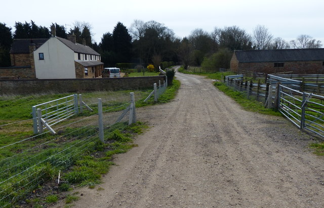
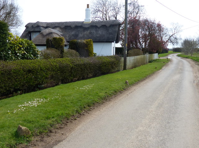
Eldernell is a small village located in the county of Cambridgeshire, England. Situated approximately 5 miles south-west of the city of Peterborough, Eldernell is a picturesque rural community surrounded by beautiful countryside.
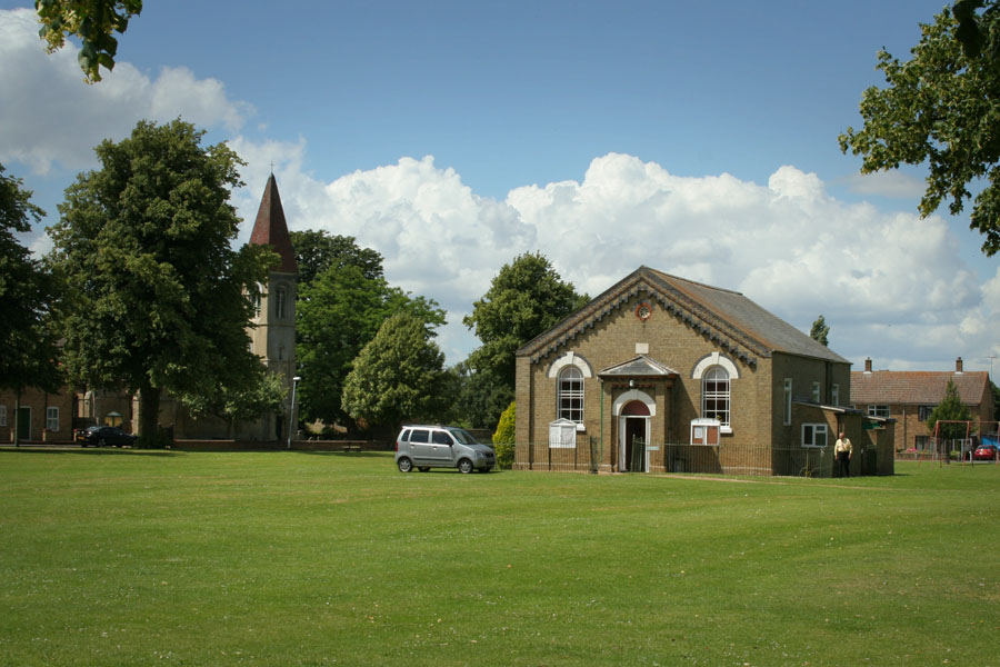
The village is known for its tranquil atmosphere and is home to a close-knit community of around 300 residents. The architecture in Eldernell is predominantly traditional, with many charming cottages and farmhouses dotting the landscape. The village church, St. John the Baptist, is a notable landmark, dating back to the 12th century.
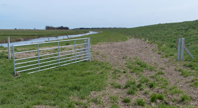
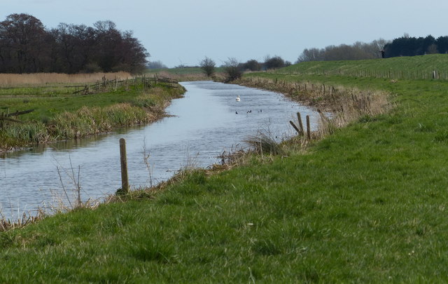
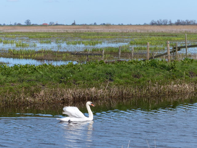
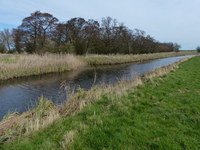
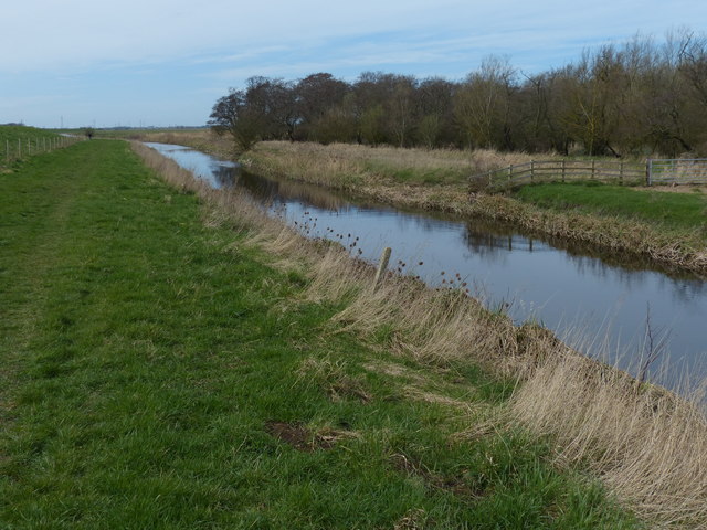
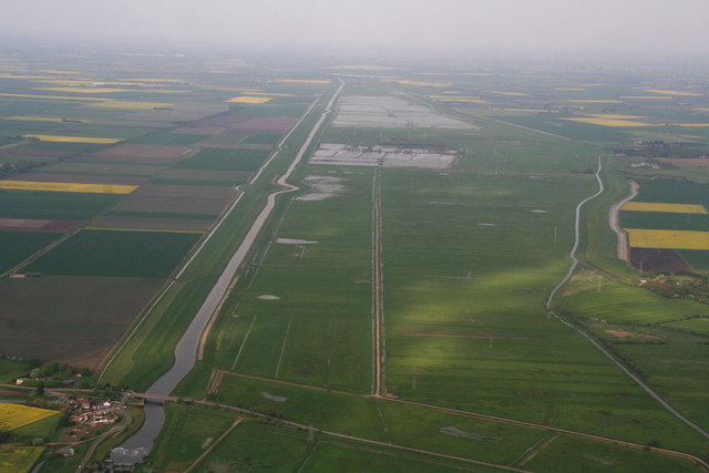
The surrounding natural beauty of Eldernell draws visitors and residents alike to explore the nearby Eldernell Nature Reserve. This nature reserve is a haven for wildlife enthusiasts, offering a range of habitats, including wetlands, woodlands, and meadows. It is particularly famous for its diverse bird population, making it a popular destination for birdwatching.
Although Eldernell is a small village, it benefits from its proximity to larger towns and cities. The city of Peterborough provides residents with access to a wide range of amenities, including shopping centers, restaurants, and entertainment venues. The village is also conveniently located near major road networks, allowing for easy commuting and travel to other parts of Cambridgeshire and beyond.
Overall, Eldernell offers a peaceful and idyllic countryside lifestyle, with ample opportunities for outdoor activities and a strong sense of community.
If you have any feedback on the listing, please let us know in the comments section below.
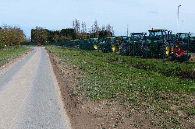
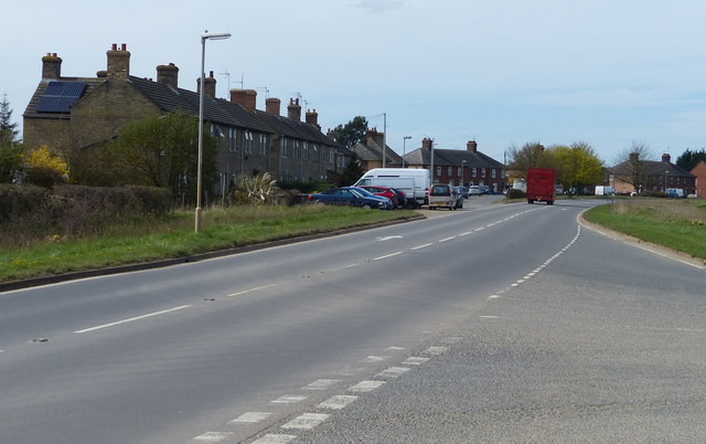
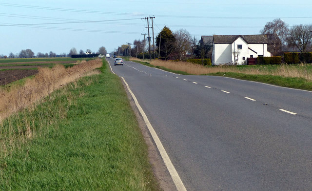
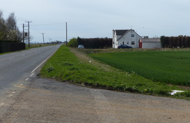
Eldernell Images
Images are sourced within 2km of 52.570556/-0.055199 or Grid Reference TL3198. Thanks to Geograph Open Source API. All images are credited.


Eldernell is located at Grid Ref: TL3198 (Lat: 52.570556, Lng: -0.055199)
Division: Isle of Ely
Administrative County: Cambridgeshire
District: Fenland
Police Authority: Cambridgeshire
What 3 Words
///ghost.beam.rushed. Near Whittlesey, Cambridgeshire
Nearby Locations
Related Wikis

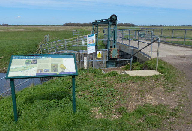
Nene Washes
Nene Washes is a 1,522-hectare (3,760-acre) biological Site of Special Scientific Interest on the bank of the River Nene east of Peterborough in Cambridgeshire...
Coates, Cambridgeshire
Coates is a small village close to the town of Whittlesey, in the English county of Cambridgeshire. Coates has a shop which includes a post office. �...

Eastrea
Eastrea is a village in Cambridgeshire, located on the A605 between Whittlesey and Coates. The site has been inhabited since Roman times. The population...

Turves, Cambridgeshire
Turves is a village in the civil parish of Whittlesey, Fenland District, Cambridgeshire, England. It lies east of the town of Whittlesey, south of the...
Nearby Amenities
Located within 500m of 52.570556,-0.055199Have you been to Eldernell?
Leave your review of Eldernell below (or comments, questions and feedback).