Elder Street
Settlement in Essex Uttlesford
England
Elder Street

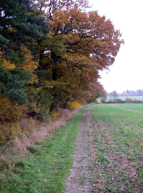
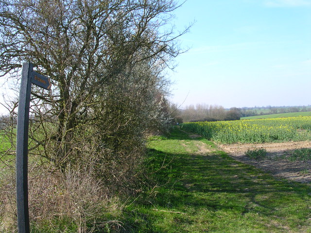
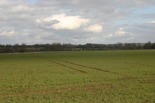
Elder Street is a small village located in the county of Essex, England. Situated in the eastern part of the county, it falls within the district of Uttlesford. The village is nestled amidst picturesque countryside and is surrounded by lush green fields and rolling hills, providing a serene and idyllic setting.
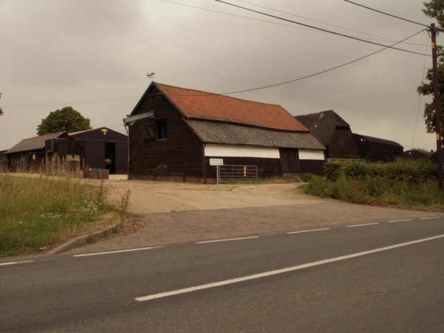
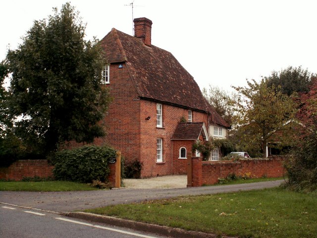
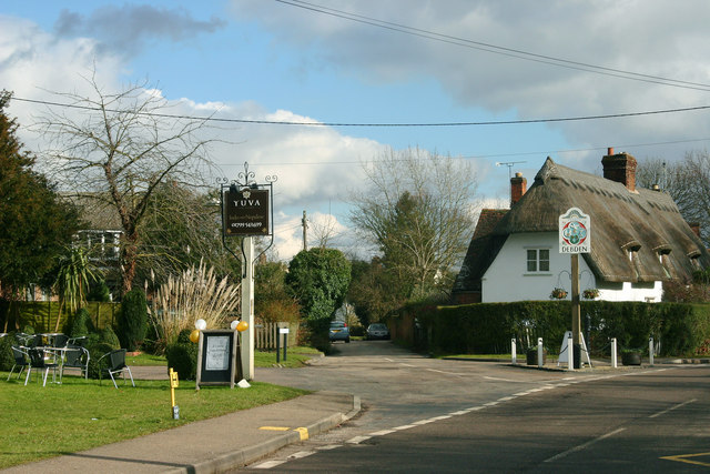
Elder Street is a close-knit community with a population of around 500 residents. The village primarily consists of charming traditional cottages and houses, which showcase a mix of architectural styles, ranging from Tudor to Victorian. These buildings add to the village's character and historical charm.
The village boasts a strong sense of community spirit, with various local events and activities organized throughout the year. Elder Street has a small but vibrant village hall that serves as a central hub for social gatherings, meetings, and local events.
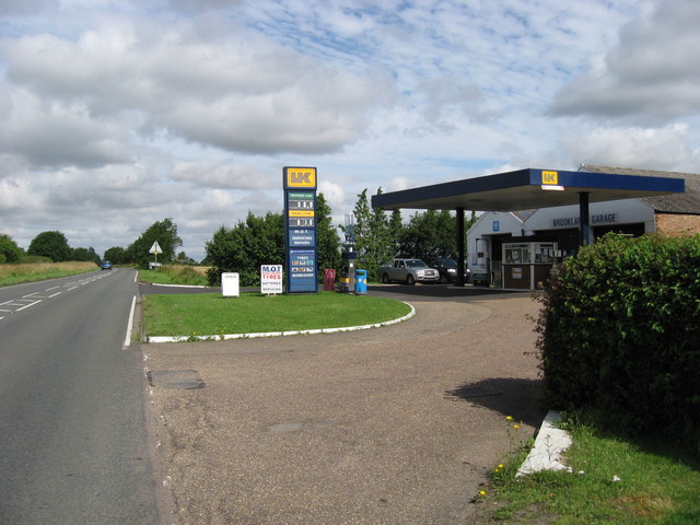
In terms of amenities, Elder Street has limited facilities within the village itself. However, a short drive away, residents have access to a range of amenities in nearby towns and villages, including shops, supermarkets, schools, and healthcare services.
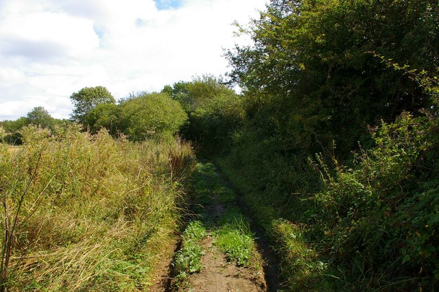
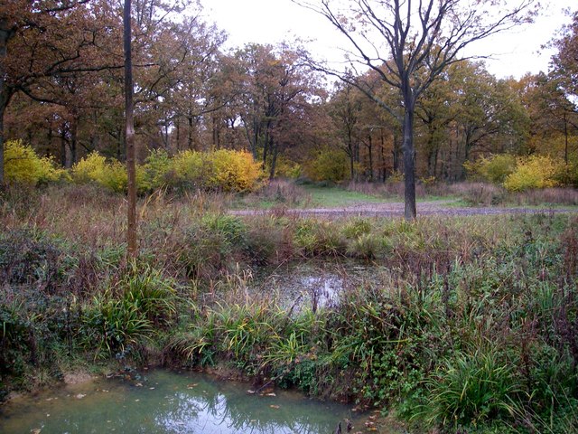
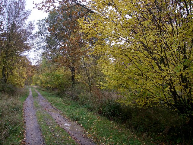
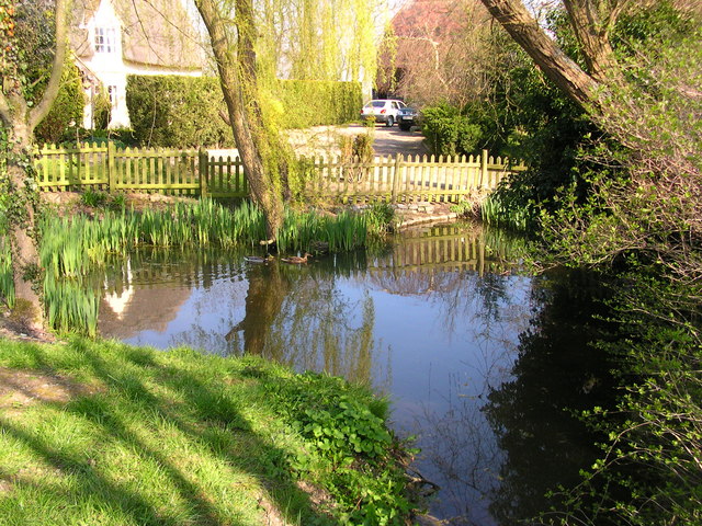
Nature lovers and outdoor enthusiasts will find plenty to explore in the surrounding area. Elder Street is located near several nature reserves and country parks, offering ample opportunities for hiking, cycling, and birdwatching. The village's countryside location also provides a peaceful and tranquil environment for residents to enjoy.
Overall, Elder Street offers a charming and peaceful countryside lifestyle, making it an attractive place to reside for those seeking a slower pace of life and a strong sense of community.
If you have any feedback on the listing, please let us know in the comments section below.
Elder Street Images
Images are sourced within 2km of 51.986249/0.286402 or Grid Reference TL5734. Thanks to Geograph Open Source API. All images are credited.


Elder Street is located at Grid Ref: TL5734 (Lat: 51.986249, Lng: 0.286402)
Administrative County: Essex
District: Uttlesford
Police Authority: Essex
What 3 Words
///occupiers.calculating.bathtubs. Near Saffron Walden, Essex
Nearby Locations
Related Wikis

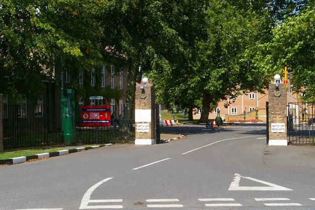
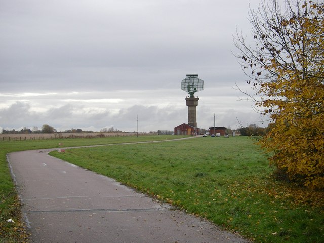
Carver Barracks
Carver Barracks is a British Army base on the former site of RAF Debden, approximately 1 mile north of the village of Debden, in Essex. The nearest town...

RAF Debden
Royal Air Force Debden or more simply RAF Debden is a former Royal Air Force station located 3 miles (4.8 km) southeast of Saffron Walden and approximately...

Debden, Uttlesford
Debden is a small rural village in the Uttlesford district of Essex in the East of England. It is located 4 miles (6 km) from Saffron Walden and 17 miles...
Debden Windmill
Debden Windmill is a grade II listed Tower mill at Debden, Essex, England which has been converted to residential use. == History == Debden Windmill was...
Nearby Amenities
Located within 500m of 51.986249,0.286402Have you been to Elder Street?
Leave your review of Elder Street below (or comments, questions and feedback).