Brownhill Furze
Wood, Forest in Sussex Horsham
England
Brownhill Furze
Brownhill Furze is a wood located in the county of Sussex, England. Covering an area of approximately 100 acres, it is considered one of the most beautiful and diverse forests in the region. The wood is characterized by dense vegetation, including a variety of trees such as oak, beech, and pine.
The forest is home to a wide range of wildlife, making it a popular destination for nature enthusiasts and bird watchers. It provides a habitat for numerous species, including deer, rabbits, foxes, and a rich variety of bird species. The diverse ecosystem of Brownhill Furze also supports a range of insects and small mammals.
Visitors to the wood can enjoy a number of walking trails that wind through the forest, offering tranquil and scenic views. The paths are well-maintained, making it accessible to all levels of hikers. The wood is particularly stunning during the autumn months when the foliage turns vibrant shades of red, orange, and gold.
In addition to its natural beauty, Brownhill Furze also has historical significance. It was once part of a larger estate owned by a local noble family, and remnants of old structures, such as stone walls and ruins, can still be found within the wood.
Overall, Brownhill Furze is a captivating woodland that offers a peaceful escape from the hustle and bustle of everyday life. With its picturesque scenery, abundant wildlife, and historical charm, it is a must-visit destination for nature lovers and history enthusiasts alike.
If you have any feedback on the listing, please let us know in the comments section below.
Brownhill Furze Images
Images are sourced within 2km of 50.929161/-0.37249194 or Grid Reference TQ1415. Thanks to Geograph Open Source API. All images are credited.


Brownhill Furze is located at Grid Ref: TQ1415 (Lat: 50.929161, Lng: -0.37249194)
Administrative County: West Sussex
District: Horsham
Police Authority: Sussex
What 3 Words
///shrug.snapper.bulk. Near Ashington, West Sussex
Nearby Locations
Related Wikis

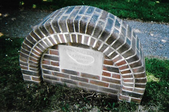
Ashington, West Sussex
Ashington is a village and civil parish in the Horsham District of West Sussex, England. It lies on the A24 road 3 miles (4.8 km) north-east of Storrington...

Wiston, West Sussex
Wiston is a scattered village and civil parish in the Horsham District of West Sussex, England. It lies on the A283 road 2.8 miles (4.5 km) northwest of...

Buncton
Buncton () is a small village in the Horsham District of West Sussex, England, part of the civil parish of Wiston 0.5 miles (0.80 km) north. It lies to...
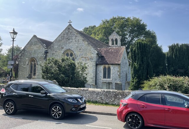
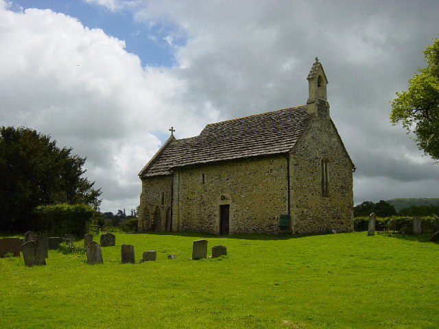
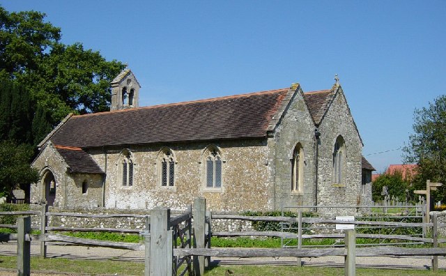
All Saints Church, Buncton
All Saints Church is an Anglican church in the hamlet of Buncton in the district of Horsham, one of seven local government districts in the English county...

South Downs National Park
The South Downs National Park is England's newest national park, designated on 31 March 2010. The park, covering an area of 1,627 square kilometres (628...

Rock Mill, Washington
Rock Mill is a Grade II listed smock mill at Washington, West Sussex, England, which has been converted to residential use. == History == Rock Mill was...

Church of the Holy Sepulchre, Warminghurst
The Church of the Holy Sepulchre is a former Anglican church in the hamlet of Warminghurst in the district of Horsham, one of seven local government districts...

Warminghurst
Warminghurst is a village and former civil parish, now in the parish of Thakeham, in the Horsham district of West Sussex, England. It lies on the Ashington...
Nearby Amenities
Located within 500m of 50.929161,-0.37249194Have you been to Brownhill Furze?
Leave your review of Brownhill Furze below (or comments, questions and feedback).