Brownhill Wood
Wood, Forest in Sussex Horsham
England
Brownhill Wood
Brownhill Wood is a picturesque woodland located in the county of Sussex, England. Situated near the village of Brownhill, the wood spans approximately 150 acres, making it a substantial forested area within the region. The wood is predominantly composed of native broadleaf trees, such as oak, beech, and ash, creating a diverse and vibrant ecosystem.
As visitors enter Brownhill Wood, they are greeted by a well-maintained footpath that winds its way through the forest, inviting exploration and discovery. The thick canopy created by the towering trees provides a cool and tranquil atmosphere, shielding visitors from the elements and providing a haven for wildlife.
The forest floor is covered in a rich carpet of mosses, ferns, and wildflowers, adding a splash of color to the woodland scenery. Various species of birds can be heard chirping and fluttering amongst the treetops, while small mammals such as foxes, badgers, and rabbits scurry about in their natural habitat.
Brownhill Wood is a popular destination for nature enthusiasts, hikers, and families seeking a peaceful retreat from the hustle and bustle of everyday life. The wood offers numerous walking trails, allowing visitors to immerse themselves in the beauty of nature and enjoy the serenity of the surroundings.
Managed by the local conservation authority, Brownhill Wood is a protected area, ensuring the preservation of its natural beauty for future generations to enjoy. The woodland serves as an important habitat for a wide range of flora and fauna, contributing to the overall biodiversity of the region.
If you have any feedback on the listing, please let us know in the comments section below.
Brownhill Wood Images
Images are sourced within 2km of 50.930342/-0.37529685 or Grid Reference TQ1415. Thanks to Geograph Open Source API. All images are credited.


Brownhill Wood is located at Grid Ref: TQ1415 (Lat: 50.930342, Lng: -0.37529685)
Administrative County: West Sussex
District: Horsham
Police Authority: Sussex
What 3 Words
///friday.scornful.darker. Near Ashington, West Sussex
Nearby Locations
Related Wikis

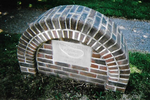
Ashington, West Sussex
Ashington is a village and civil parish in the Horsham District of West Sussex, England. It lies on the A24 road 3 miles (4.8 km) north-east of Storrington...

Wiston, West Sussex
Wiston is a scattered village and civil parish in the Horsham District of West Sussex, England. It lies on the A283 road 2.8 miles (4.5 km) northwest of...

Buncton
Buncton () is a small village in the Horsham District of West Sussex, England, part of the civil parish of Wiston 0.5 miles (0.80 km) north. It lies to...
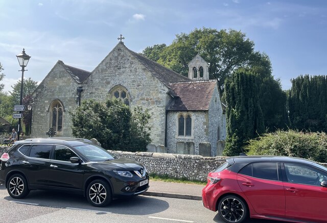
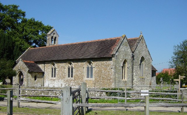
All Saints Church, Buncton
All Saints Church is an Anglican church in the hamlet of Buncton in the district of Horsham, one of seven local government districts in the English county...

South Downs National Park
The South Downs National Park is England's newest national park, designated on 31 March 2010. The park, covering an area of 1,627 square kilometres (628...

Rock Mill, Washington
Rock Mill is a Grade II listed smock mill at Washington, West Sussex, England, which has been converted to residential use. == History == Rock Mill was...

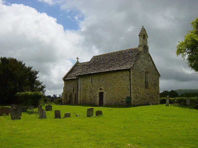
Church of the Holy Sepulchre, Warminghurst
The Church of the Holy Sepulchre is a former Anglican church in the hamlet of Warminghurst in the district of Horsham, one of seven local government districts...

Warminghurst
Warminghurst is a village and former civil parish, now in the parish of Thakeham, in the Horsham district of West Sussex, England. It lies on the Ashington...
Nearby Amenities
Located within 500m of 50.930342,-0.37529685Have you been to Brownhill Wood?
Leave your review of Brownhill Wood below (or comments, questions and feedback).