Cockshoothill Grove

Wood, Forest in Bedfordshire

England

Cockshoothill Grove

Road heading towards Clifton Looking south-eastward.
Road heading towards Clifton Credit: Peter Wood

The requested URL returned error: 429 Too Many Requests

If you have any feedback on the listing, please let us know in the comments section below.

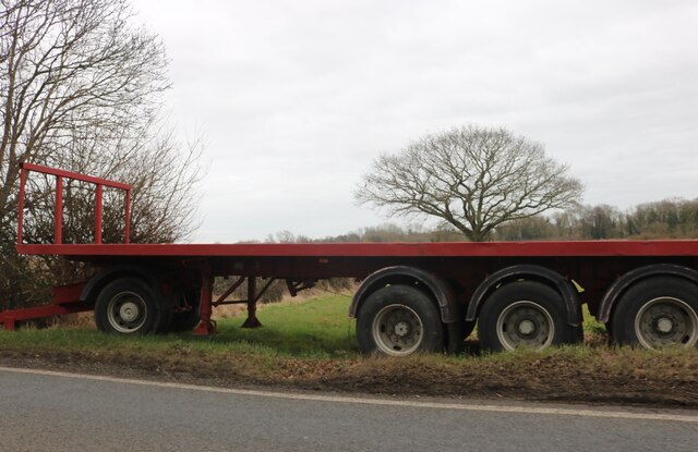
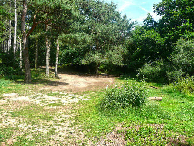
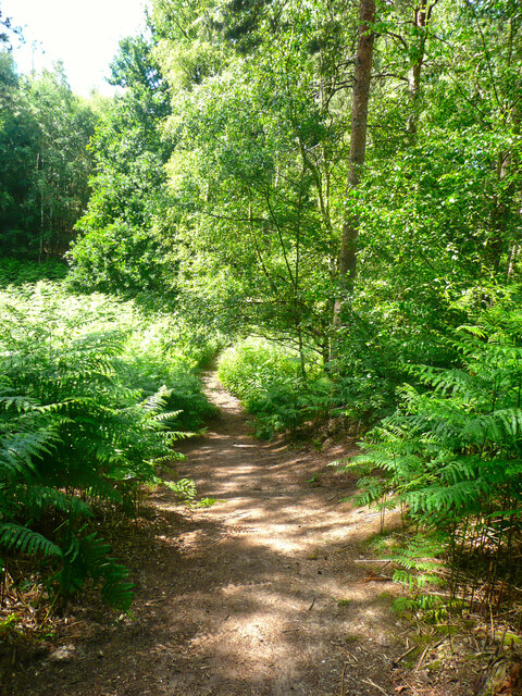
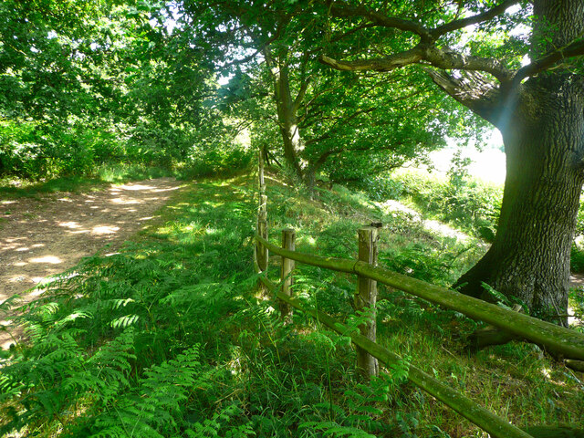
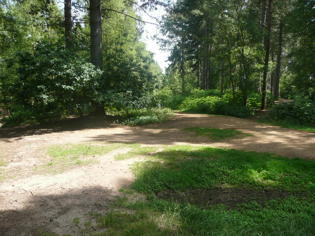
Cockshoothill Grove Images

Images are sourced within 2km of 52.047049/-0.3327776 or Grid Reference TL1440. Thanks to Geograph Open Source API. All images are credited.

Road heading towards Clifton Looking south-eastward.
Road heading towards Clifton
Looking south-eastward.
Road (B658) near to Stanford Farm Looking south-westward.
Road (B658) near to Stanford Farm
Looking south-westward.
Road (B658) at Stanford Looking eastward.
Road (B658) at Stanford
Looking eastward.
Stanford Road at The Green Man Looking northward.
Stanford Road at The Green Man
Looking northward.
Pedley Lane, Clifton Looking south-westward.
Pedley Lane, Clifton
Looking south-westward.
Dalchini Spice, Shefford An award winning Indian restaurant
Dalchini Spice, Shefford
An award winning Indian restaurant
Roundabout on  Ivel Road, Shefford Oak Manor care home is on the right
Roundabout on Ivel Road, Shefford
Oak Manor care home is on the right
Hitchin Road at the corner of Ivel Road
Stanford Road, Shefford
The entrance to Stanford Bury
Trailer by Stanford Road, Shefford
Track to Stanford Bury Farm
The Green Man, Stanford
Track in Rowney Warren Wood, Southill This track is along the southern edge of the wood.
Track in Rowney Warren Wood, Southill
This track is along the southern edge of the wood.
Path in Rowney Warren Wood, Southill It is all too easy to lose one's sense of direction in this wood, and also my GPS readings did not always indicate a position on one of the paths shown on the 1:25000 map.
Path in Rowney Warren Wood, Southill
It is all too easy to lose one's sense of direction in this wood, and also my GPS readings did not always indicate a position on one of the paths shown on the 1:25000 map.
Track in Rowney Warren Wood, Southill This track goes along the southern edge of the wood, and over the boundary fence at a lower level there is a bridleway, which is part of the John Bunyan Trail. Along the length of the track that I walked there was no connection between the two paths.
Track in Rowney Warren Wood, Southill
This track goes along the southern edge of the wood, and over the boundary fence at a lower level there is a bridleway, which is part of the John Bunyan Trail. Along the length of the track that I walked there was no connection between the two paths.
The John Bunyan Trail at the A600, Shefford The roundabout is at the junction with the B658 Sandy road.
The John Bunyan Trail at the A600, Shefford
The roundabout is at the junction with the B658 Sandy road.
Track junction in Rowney Warren Wood, Southill I am not certain about the grid reference.
Track junction in Rowney Warren Wood, Southill
I am not certain about the grid reference.
Show me another place!

Cockshoothill Grove is located at Grid Ref: TL1440 (Lat: 52.047049, Lng: -0.3327776)

Unitary Authority: Central Bedfordshire

Police Authority: Bedfordshire

What 3 Words

///comical.perusing.disbelief. Near Shefford, Bedfordshire

Related Wikis

Shefford railway station

Shefford was a railway station on the Bedford to Hitchin Line which served the town of Shefford in Bedfordshire, England. Opened in 1857, it gave more...

St Francis' Boys' Home

St Francis' Boy's Home in Shefford, Bedfordshire was the longest serving children's home in England. Founded in 1868, it played a vital role in providing...

Shefford, Bedfordshire

Shefford is a town and civil parish in the Central Bedfordshire district of Bedfordshire, England. At the 2021 census it had a population of 7,311. It...

River Flit

The River Flit is a short river in Bedfordshire, England. Its name is not ancient, but rather a back formation from Flitton which originally meant that...

Nearby Amenities

Located within 500m of 52.047049,-0.3327776
Cockshoot Hill
Place: locality
Source: OS 1:25k
Lat/Long: 52.0452166/-0.3319713
Direction: 170
Generator Method: photovoltaic
Generator Output Electricity: yes
Generator Solar Modules: 12
Generator Source: solar
Generator Type: solar_photovoltaic_panel
Location: roof
Power: generator
Lat/Long: 52.0425596/-0.3328237
Direction: 170
Generator Method: photovoltaic
Generator Output Electricity: yes
Generator Solar Modules: 13
Generator Source: solar
Generator Type: solar_photovoltaic_panel
Location: roof
Power: generator
Lat/Long: 52.0425683/-0.3327099
Direction: 170
Generator Method: photovoltaic
Generator Output Electricity: yes
Generator Solar Modules: 10
Generator Source: solar
Generator Type: solar_photovoltaic_panel
Location: roof
Power: generator
Lat/Long: 52.042585/-0.3334602
The data included in this document is from www.openstreetmap.org. The data is made available under ODbL.

Have you been to Cockshoothill Grove?

Leave your review of Cockshoothill Grove below (or comments, questions and feedback).