Calpher Wood
Wood, Forest in Huntingdonshire Huntingdonshire
England
Calpher Wood

Calpher Wood is a picturesque forest located in the county of Huntingdonshire, England. Situated on the outskirts of the village of Wood, this woodland is a popular destination for nature enthusiasts and outdoor adventurers alike.
Covering an area of approximately 100 acres, Calpher Wood is predominantly composed of deciduous trees, including oak, birch, and beech. The forest is known for its stunning autumn foliage, with vibrant hues of red, orange, and gold painting the landscape during the seasonal transition. The woodland floor is adorned with a diverse array of wildflowers and ferns, creating a vibrant and enchanting atmosphere.
The wood is crisscrossed with a network of well-maintained footpaths and trails, providing visitors with ample opportunities for walking, hiking, and jogging. These paths lead to various points of interest within the forest, including serene ponds, hidden clearings, and ancient ruins. Birdwatchers will delight in the numerous species that call Calpher Wood home, as it serves as a habitat for woodpeckers, owls, and a variety of songbirds.
For those seeking a tranquil retreat, Calpher Wood offers several designated picnic areas, where visitors can relax and enjoy the peaceful surroundings. Additionally, the forest is equipped with basic amenities, such as public restrooms and ample parking facilities.
Calpher Wood is a cherished natural gem in the heart of Huntingdonshire, providing a haven for wildlife and a place of respite for visitors seeking solace in nature's embrace.
If you have any feedback on the listing, please let us know in the comments section below.
Calpher Wood Images
Images are sourced within 2km of 52.314857/-0.32899647 or Grid Reference TL1469. Thanks to Geograph Open Source API. All images are credited.


Calpher Wood is located at Grid Ref: TL1469 (Lat: 52.314857, Lng: -0.32899647)
Administrative County: Cambridgeshire
District: Huntingdonshire
Police Authority: Cambridgeshire
What 3 Words
///sued.everybody.helpless. Near Kimbolton, Cambridgeshire
Nearby Locations
Related Wikis

Shepherd's Close
Shepherd's Close is a 1.2-hectare (3.0-acre) nature reserve south of Spaldwick in Cambridgeshire. It is managed by the Wildlife Trust for Bedfordshire...

Easton, Cambridgeshire
Easton is a village and civil parish in Cambridgeshire, England. Easton lies approximately 6 miles (10 km) west of Huntingdon, between the villages of...

Grafham Water
Grafham Water is an 806.3-hectare (1,992-acre) biological Site of Special Scientific Interest (SSSI) north of Perry, Huntingdonshire. It was designated...
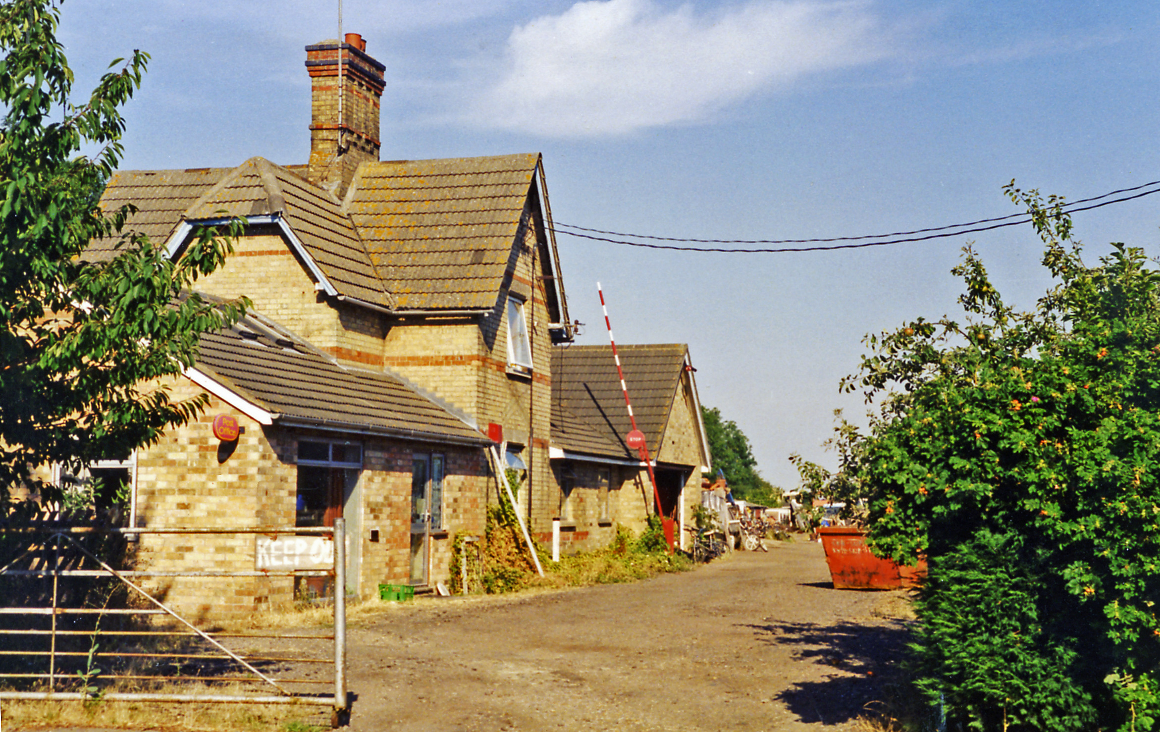
Grafham railway station
Grafham railway station was a railway station in Grafham, Cambridgeshire. The station and its line closed in 1959.In the 1990s the railway station buildings...

A142 road
The A142 is a road that runs from Newmarket in Suffolk to Chatteris in Cambridgeshire. == References ==
Ellington, Cambridgeshire
Ellington is a village and civil parish in Cambridgeshire, England, 4 miles (6 km) west of Huntingdon in Huntingdonshire, a non-metropolitan district...
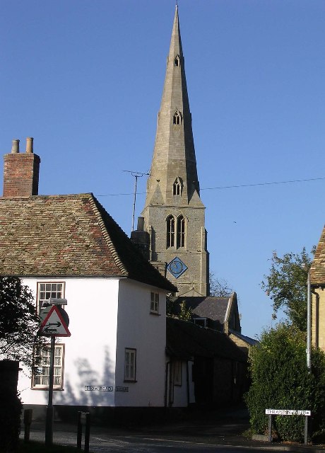
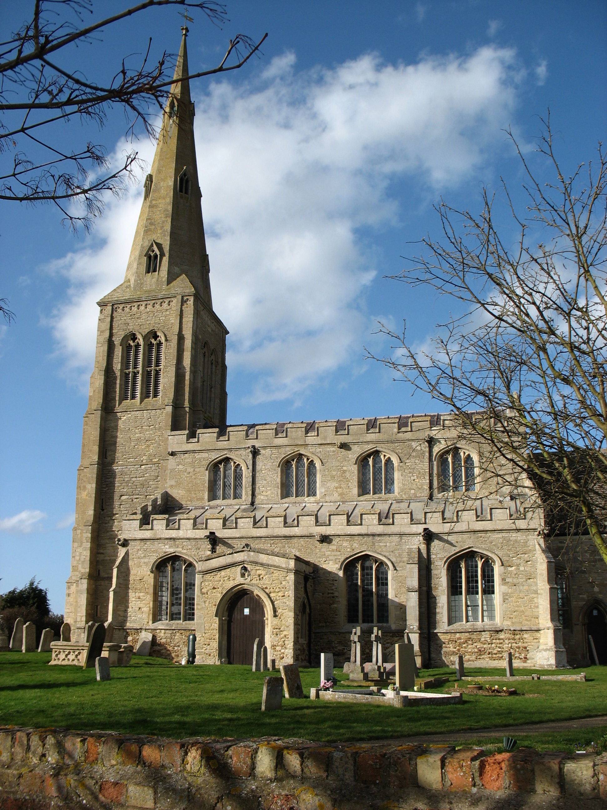
Spaldwick
Spaldwick is a village and civil parish in Cambridgeshire, England. Spaldwick lies approximately 6 miles (10 km) west of Huntingdon, near Catworth. Spaldwick...

Stow Longa
Stow Longa is a village and civil parish in Cambridgeshire, England. Stow Longa lies approximately 8 miles (13 km) west of Huntingdon and two miles north...
Nearby Amenities
Located within 500m of 52.314857,-0.32899647Have you been to Calpher Wood?
Leave your review of Calpher Wood below (or comments, questions and feedback).