Batch Wood
Wood, Forest in Hertfordshire St. Albans
England
Batch Wood
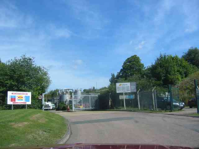
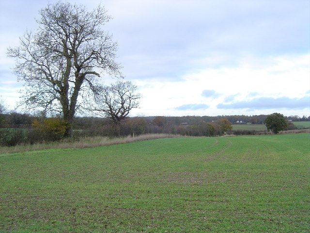
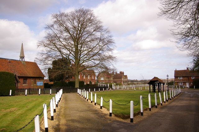
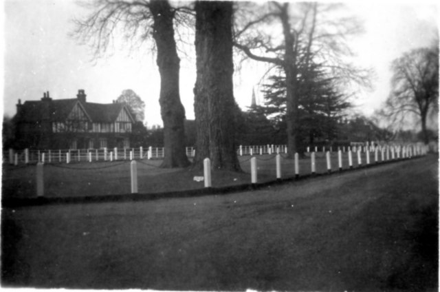
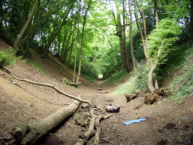
Batch Wood is a small woodland area located in Hertfordshire, England. It is situated near the town of St Albans and covers an area of approximately 33 hectares. The wood is primarily composed of deciduous trees, including oak, ash, and beech, with a few coniferous trees scattered throughout.
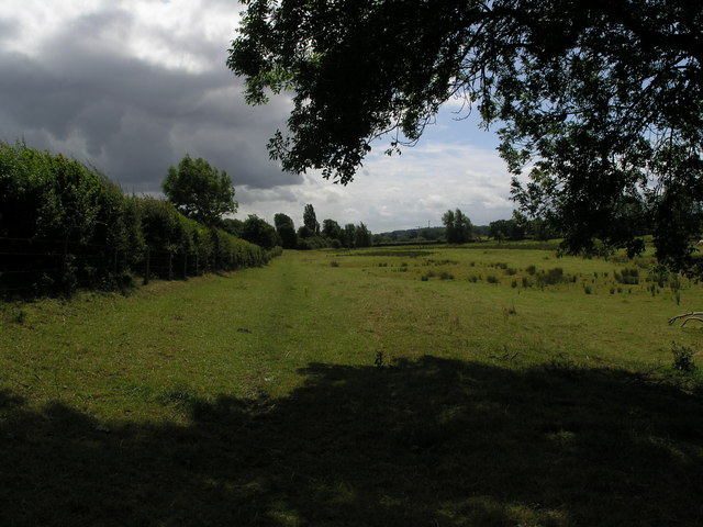
The wood is known for its natural beauty and provides a peaceful retreat for both locals and visitors. It offers a range of recreational activities, including walking trails, jogging paths, and picnic areas, making it a popular destination for outdoor enthusiasts. There are also designated areas for wildlife observation, making it an ideal spot for birdwatching and nature photography.
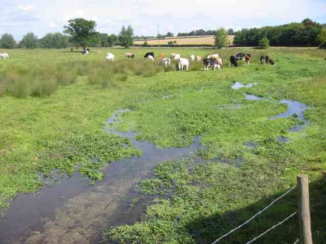
Batch Wood is home to a diverse range of plant and animal species. In the spring, the woodland floor is adorned with bluebells and other wildflowers, creating a vibrant and picturesque scene. The wood is also home to various bird species, including woodpeckers, owls, and warblers, as well as small mammals such as squirrels and hedgehogs.
The wood is well-maintained by local authorities, with regular maintenance and conservation efforts taking place to ensure the preservation of its natural habitat. It is open to the public throughout the year and is easily accessible by foot or bicycle, with ample parking available nearby. Overall, Batch Wood offers a serene and tranquil environment, providing a welcome escape from the bustling city life.
If you have any feedback on the listing, please let us know in the comments section below.
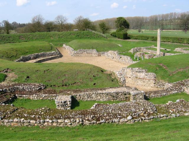
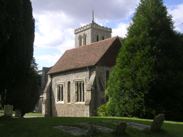
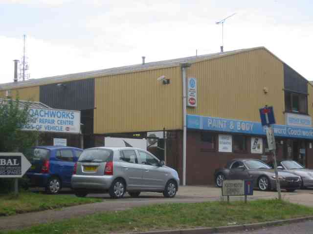
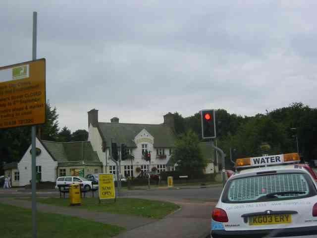
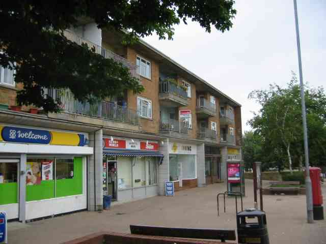
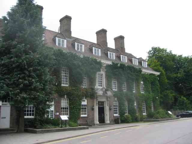
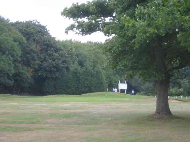
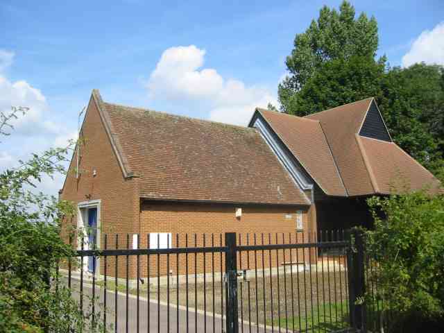
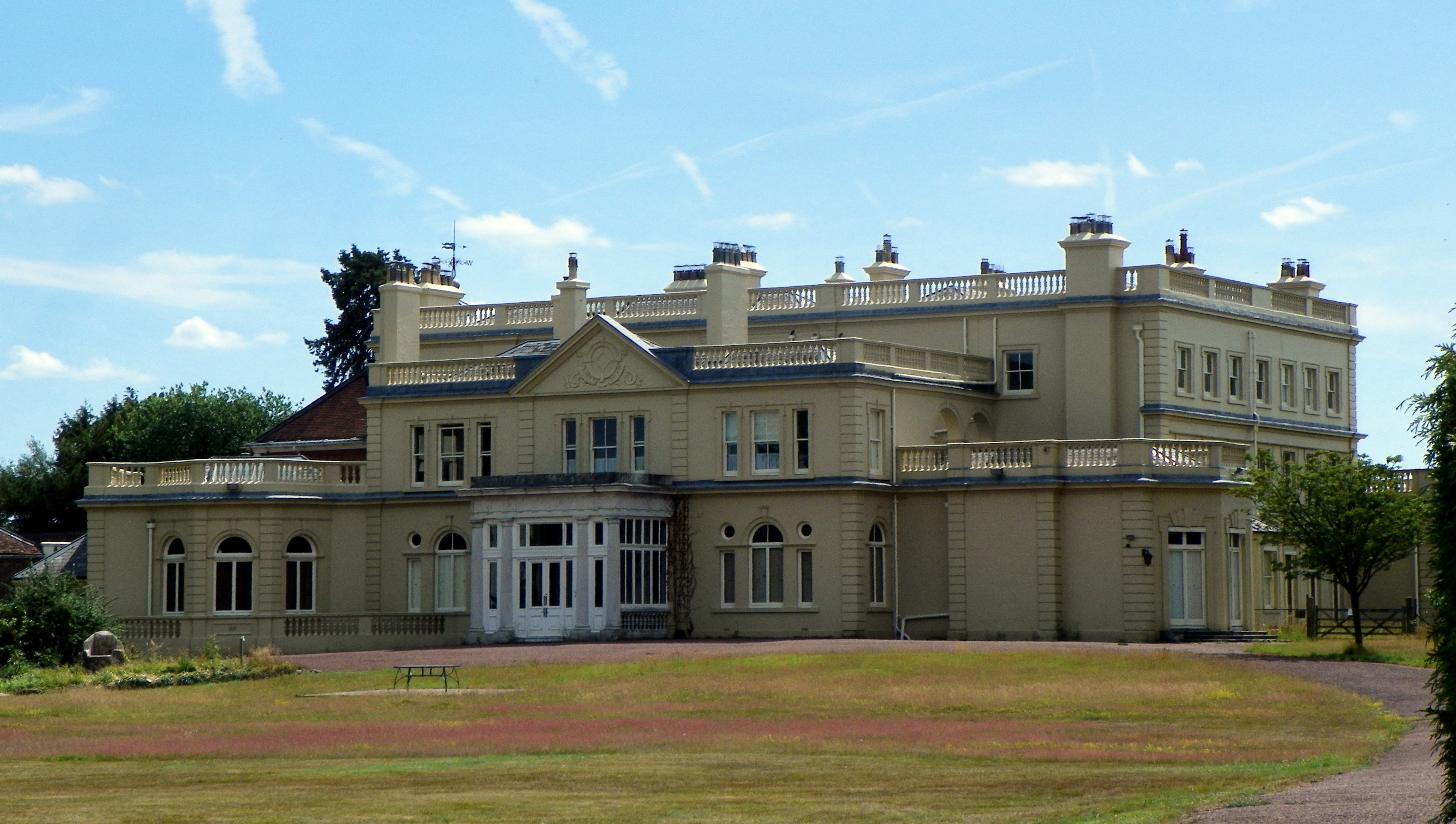
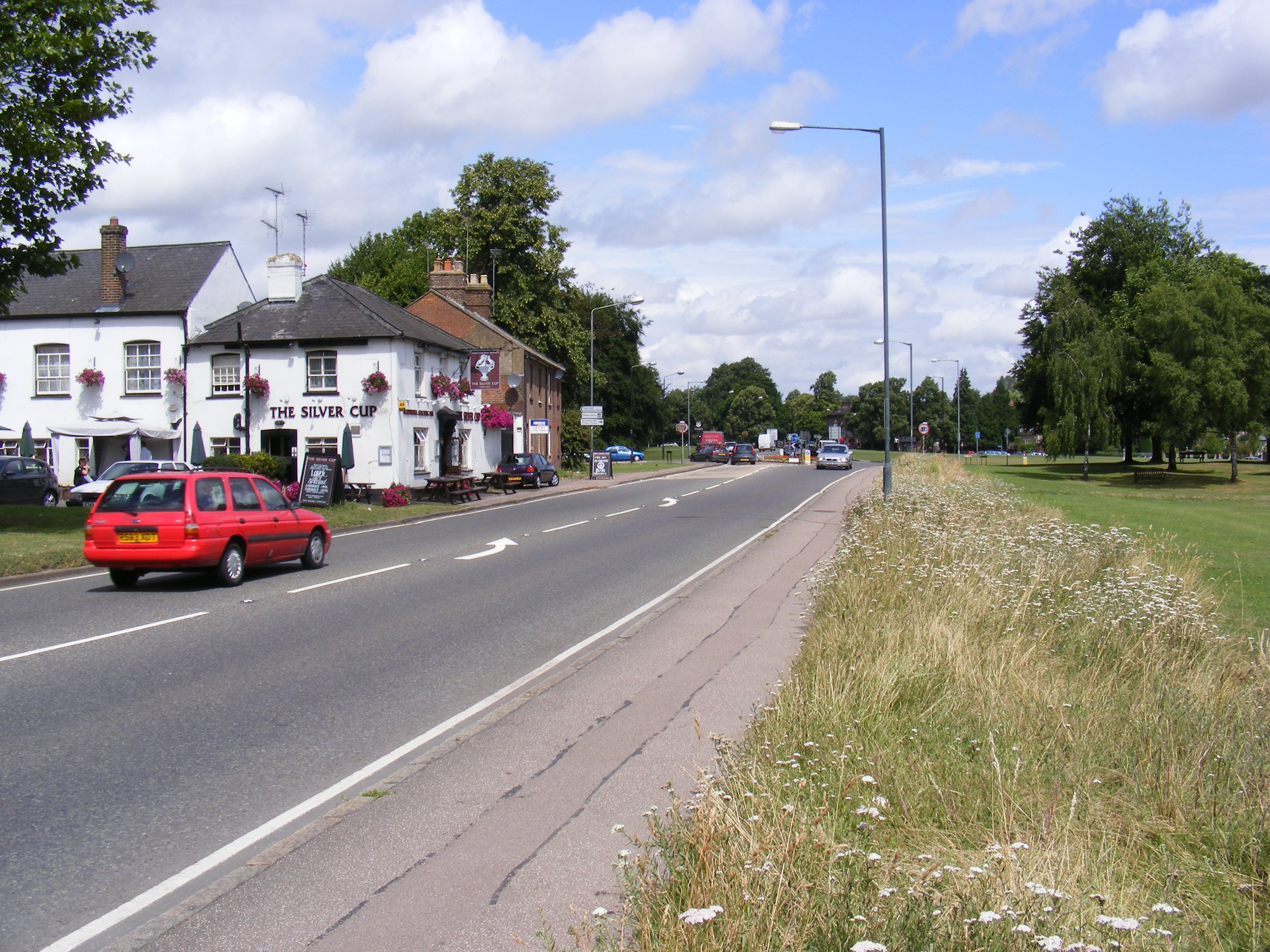
Batch Wood Images
Images are sourced within 2km of 51.770236/-0.35111333 or Grid Reference TL1309. Thanks to Geograph Open Source API. All images are credited.

Batch Wood is located at Grid Ref: TL1309 (Lat: 51.770236, Lng: -0.35111333)
Administrative County: Hertfordshire
District: St. Albans
Police Authority: Hertfordshire
What 3 Words
///loaf.silent.equal. Near St Albans, Hertfordshire
Nearby Locations
Related Wikis

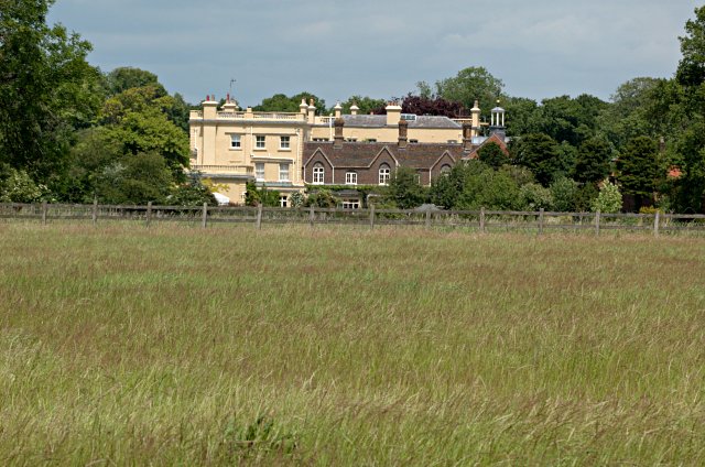
Batchwood Hall
Batchwood Hall is a manor house in St Albans, Hertfordshire == History == The house was designed in the Queen Anne style and built for Edmund Beckett,...

Townsend Church of England School
Townsend Church of England School is a voluntary aided secondary school based in St Albans, Hertfordshire, England. The students attending are aged between...
Childwickbury Manor
Childwickbury Manor is a manor house in the hamlet of Childwickbury, Hertfordshire, England, between St Albans and Harpenden. == History == The Lomax family...
A1081 road
The A1081 is a road in the south of England. It starts at Luton Airport in Bedfordshire and runs to High Barnet in Greater London via Harpenden, St Albans...

St Albans City Hospital
St Albans City Hospital is an acute District General Hospital in St Albans, Hertfordshire operated by the West Hertfordshire Hospitals NHS Trust. ��2...

St Albans Girls' School
St Albans Girls' School, usually referred to as STAGS, is a girls' secondary school in St Albans, Hertfordshire. It was formerly known as "St Albans Girls...

Childwickbury
Childwickbury is a hamlet in Hertfordshire, England lying to the north of St Albans in the parish of St Michael. Childwickbury Manor was home to Stanley...
Bernards Heath
Bernards Heath is a heathland in St Albans, Hertfordshire, the site of the Second Battle of St Albans in 1461 during the Wars of the Roses. In the 19th...
Nearby Amenities
Located within 500m of 51.770236,-0.35111333Have you been to Batch Wood?
Leave your review of Batch Wood below (or comments, questions and feedback).