Drury Holt

Wood, Forest in Lincolnshire North Kesteven

England

Drury Holt

Site of Catley Abbey (Ghilbertine): aerial 2022 (2) The Gilbertine Priory of St Mary at Catley was founded as a double house between 1148 and 1154 by Peter of Billinghay. It was dissolved in 1538. Traces remain of what appears to be the cloister garth with church to the north, with robber trenches outlining a smaller building to the west. In the south-western corner of the partly filled precinct moat is an irregular system of channels, one of which was probably a fishpond. 

The foundation proved locally popular, but the priory was never wealthy by comparison with other reformed monastic houses, and underwent economic decline from the 14th century. It was dissolved in 1538 and the site was later acquired by Robert Carre of Sleaford. Situated in the area formerly known as the Island of Catley, the monument is surrounded by low-lying, formerly waterlogged land. 

See: <span class="nowrap"><a title="https://www.heritagegateway.org.uk/Gateway/Results_Single.aspx?uid=MLI60709&resourceID=1006" rel="nofollow ugc noopener" href="https://www.heritagegateway.org.uk/Gateway/Results_Single.aspx?uid=MLI60709&resourceID=1006">Link</a><img style="margin-left:2px;" alt="External link" title="External link - shift click to open in new window" src="https://s1.geograph.org.uk/img/external.png" width="10" height="10"/></span>
Site of Catley Abbey (Ghilbertine): aerial 2022 (2) Credit: Simon Tomson

The requested URL returned error: 429 Too Many Requests

If you have any feedback on the listing, please let us know in the comments section below.
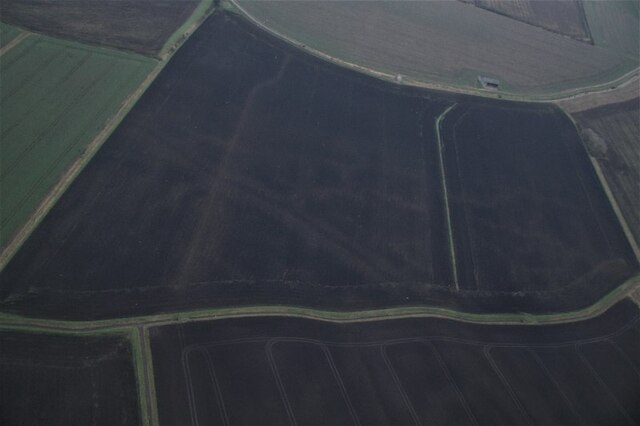
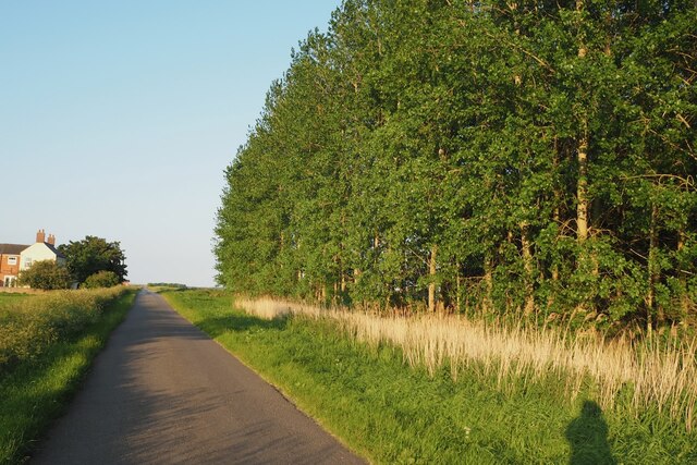
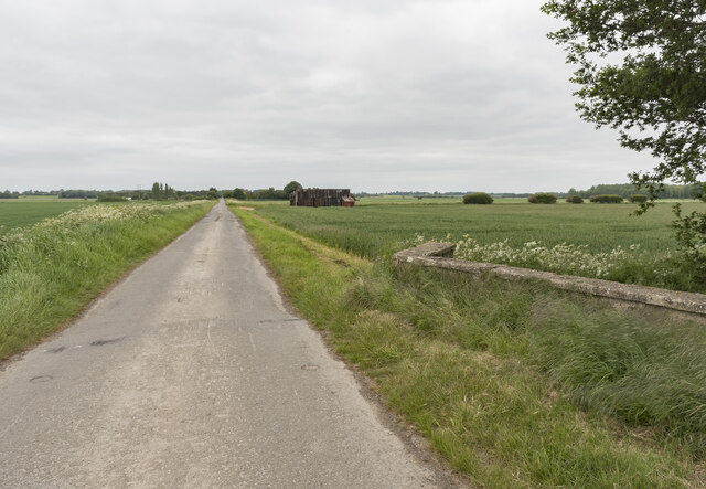
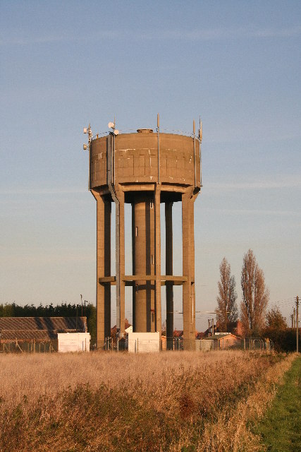
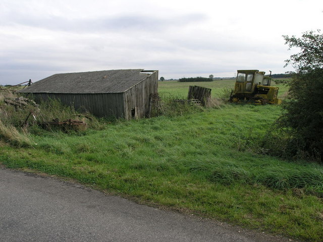
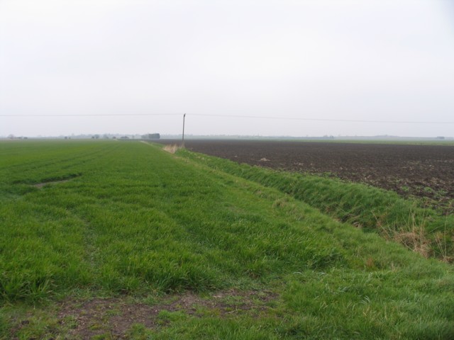
Drury Holt Images

Images are sourced within 2km of 53.091945/-0.30112184 or Grid Reference TF1356. Thanks to Geograph Open Source API. All images are credited.

Site of Catley Abbey (Ghilbertine): aerial 2022 (2) The Gilbertine Priory of St Mary at Catley was founded as a double house between 1148 and 1154 by Peter of Billinghay. It was dissolved in 1538. Traces remain of what appears to be the cloister garth with church to the north, with robber trenches outlining a smaller building to the west. In the south-western corner of the partly filled precinct moat is an irregular system of channels, one of which was probably a fishpond. 

The foundation proved locally popular, but the priory was never wealthy by comparison with other reformed monastic houses, and underwent economic decline from the 14th century. It was dissolved in 1538 and the site was later acquired by Robert Carre of Sleaford. Situated in the area formerly known as the Island of Catley, the monument is surrounded by low-lying, formerly waterlogged land. 

See: <span class="nowrap"><a title="https://www.heritagegateway.org.uk/Gateway/Results_Single.aspx?uid=MLI60709&resourceID=1006" rel="nofollow ugc noopener" href="https://www.heritagegateway.org.uk/Gateway/Results_Single.aspx?uid=MLI60709&resourceID=1006">Link</a><img style="margin-left:2px;" alt="External link" title="External link - shift click to open in new window" src="https://s1.geograph.org.uk/img/external.png" width="10" height="10"/></span>
Site of Catley Abbey (Ghilbertine): aerial 2022 (2)
The Gilbertine Priory of St Mary at Catley was founded as a double house between 1148 and 1154 by Peter of Billinghay. It was dissolved in 1538. Traces remain of what appears to be the cloister garth with church to the north, with robber trenches outlining a smaller building to the west. In the south-western corner of the partly filled precinct moat is an irregular system of channels, one of which was probably a fishpond. The foundation proved locally popular, but the priory was never wealthy by comparison with other reformed monastic houses, and underwent economic decline from the 14th century. It was dissolved in 1538 and the site was later acquired by Robert Carre of Sleaford. Situated in the area formerly known as the Island of Catley, the monument is surrounded by low-lying, formerly waterlogged land. See: LinkExternal link
Cropmarks on field at Walcott: aerial 2022 (1) See <a href="https://www.geograph.org.uk/photo/7100915">TF1356 : Cropmarks on field at Walcott: aerial 2022 (2)</a> - different field, different cropmark.
Cropmarks on field at Walcott: aerial 2022 (1)
See TF1356 : Cropmarks on field at Walcott: aerial 2022 (2) - different field, different cropmark.
Soilmarks on a field west of Billinghay: aerial 2022
Cropmarks on field at Walcott: aerial 2022 (2) See <a href="https://www.geograph.org.uk/photo/7100881">TF1256 : Cropmarks on field at Walcott: aerial 2022 (1)</a> - different field, different cropmark.
Cropmarks on field at Walcott: aerial 2022 (2)
See TF1256 : Cropmarks on field at Walcott: aerial 2022 (1) - different field, different cropmark.
An unmapped plantation Quite mature trees to be as yet unmarked on the OS map!  Beside Thorpe Tinley Drove.
An unmapped plantation
Quite mature trees to be as yet unmarked on the OS map! Beside Thorpe Tinley Drove.
Thorpe Tinley Drove
Thorpe Tinley Drove
Long Drove towards Walcott The parapet of a bridge is on the right.
Long Drove towards Walcott
The parapet of a bridge is on the right.
Billinghay Water Tower At about 12m above sea level - the highest point in Billinghay
Billinghay Water Tower
At about 12m above sea level - the highest point in Billinghay
St.Oswald's church, Walcott, Lincs. Bland, brick Victorian box of 1852
St.Oswald's church, Walcott, Lincs.
Bland, brick Victorian box of 1852
Shed and Tractor The shed is wooden and looking a little worse for wear.  The tractor is a Track Marshall.
Shed and Tractor
The shed is wooden and looking a little worse for wear. The tractor is a Track Marshall.
Path to Walcott A footpath runs by the side of this hedge to nearby Walcott.
Path to Walcott
A footpath runs by the side of this hedge to nearby Walcott.
Bendy Drain This land drain is unusual in that it does not follow the usual design of being straight.
Bendy Drain
This land drain is unusual in that it does not follow the usual design of being straight.
Sugar Beet Field This scene is likely to change in the next few years following the recent shake up in the sugar market payments.
Sugar Beet Field
This scene is likely to change in the next few years following the recent shake up in the sugar market payments.
Track to Home Farm
Track to Home Farm
Digby Fen
Digby Fen
Cooling's farm, Long Drove, Walcott Fen
Footbridge over the New Cut, near Walcott A standard minimal footbridge for the convenience of the landowner.
Footbridge over the New Cut, near Walcott
A standard minimal footbridge for the convenience of the landowner.
Walcott Hollows The main road between Billinghay and Walcott follows the southern end of the low ridge forming the western boundary of the Witham valley. Looking south west towards Digby Fen
Walcott Hollows
The main road between Billinghay and Walcott follows the southern end of the low ridge forming the western boundary of the Witham valley. Looking south west towards Digby Fen
Show me another place!

Drury Holt is located at Grid Ref: TF1356 (Lat: 53.091945, Lng: -0.30112184)

Administrative County: Lincolnshire

District: North Kesteven

Police Authority: Lincolnshire

What 3 Words

///existence.explored.trimmer. Near Billinghay, Lincolnshire

Nearby Locations

Walcott Drury Holt

Related Wikis

Walcott, Lincolnshire

Walcott is a small village and civil parish in the North Kesteven district of Lincolnshire, England. The population of the civil parish at the 2011 census...

Billinghay

Billinghay is a village and civil parish in the North Kesteven district of Lincolnshire, England. The village is situated approximately 7 miles (11 km...

Thorpe Tilney

Thorpe Tilney is a hamlet in the civil parish of Timberland, in the North Kesteven district, in the county of Lincolnshire, England. The hamlet is located...

Catley Priory

Catley Priory was a monastic house in Walcott, Lincolnshire, England. The Gilbertine priory of Saint Mary, Catley, was founded as a double house for nuns...

Have you been to Drury Holt?

Leave your review of Drury Holt below (or comments, questions and feedback).