Badgermoor Wood

Wood, Forest in Lincolnshire East Lindsey

England

Badgermoor Wood

The Ivy public house and Corndolly café
The Ivy public house and Corndolly café Credit: David Lally

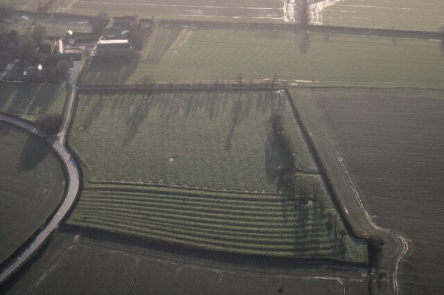
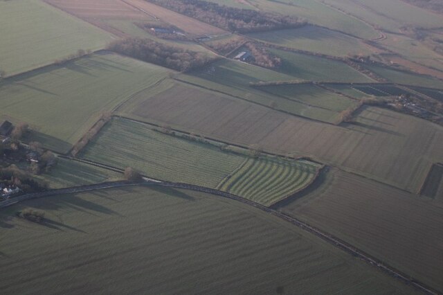
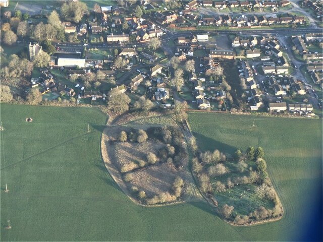
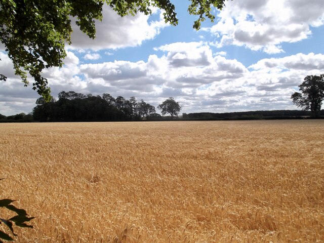
Badgermoor Wood is a picturesque forest located in Lincolnshire, England. Covering an area of approximately 100 hectares, it is a popular destination for nature enthusiasts and outdoor lovers alike. The wood is situated on the edge of the Lincolnshire Wolds, offering visitors stunning views of the surrounding countryside.

As its name suggests, Badgermoor Wood is home to a thriving badger population. These elusive creatures can often be spotted foraging for food or playing in the undergrowth. The wood also provides a habitat for a diverse range of other wildlife, including deer, foxes, and a variety of bird species.

The woodland itself is primarily composed of deciduous trees, such as oak, ash, and birch. The trees create a dense canopy, casting dappled shadows on the forest floor. In spring, the wood bursts into a vibrant display of color, as wildflowers, such as bluebells and primroses, bloom in abundance.

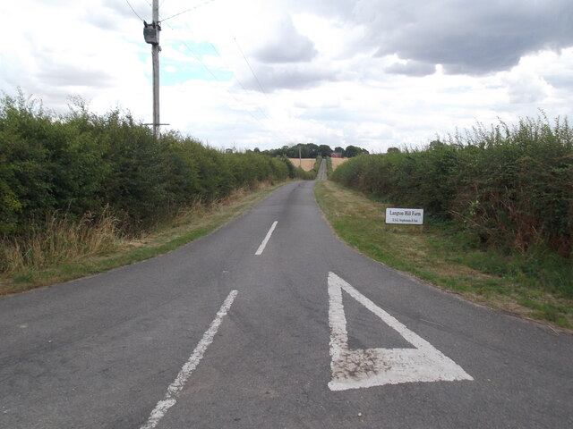
Several walking trails wind their way through Badgermoor Wood, allowing visitors to explore its natural beauty at their leisure. These paths offer a chance to immerse oneself in the peaceful ambiance of the forest, and perhaps catch a glimpse of some of its resident wildlife.

Overall, Badgermoor Wood is a tranquil and enchanting destination, offering a welcome escape from the hustle and bustle of everyday life. Whether it's a leisurely stroll or a spot of wildlife watching, this woodland provides a delightful experience for anyone seeking a connection with nature.

If you have any feedback on the listing, please let us know in the comments section below.

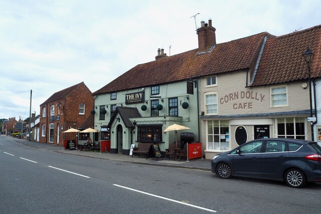
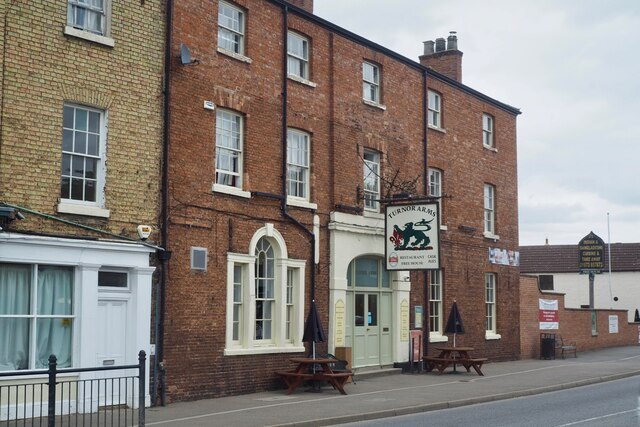
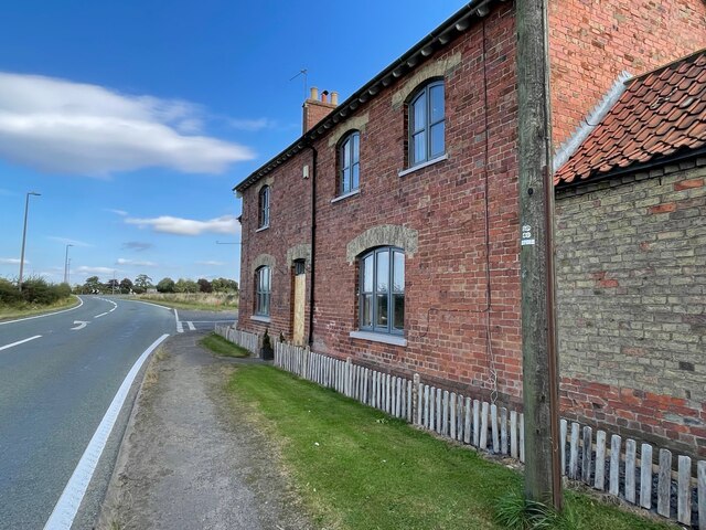
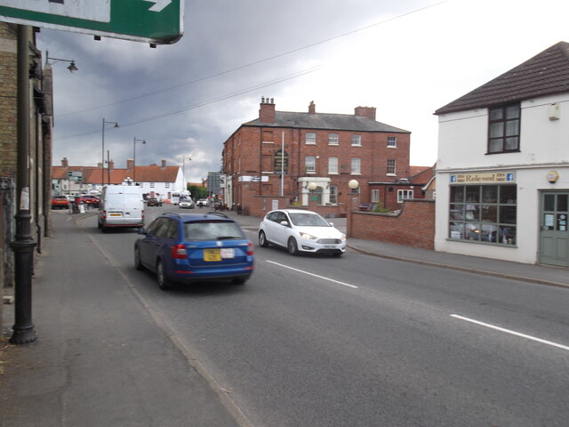
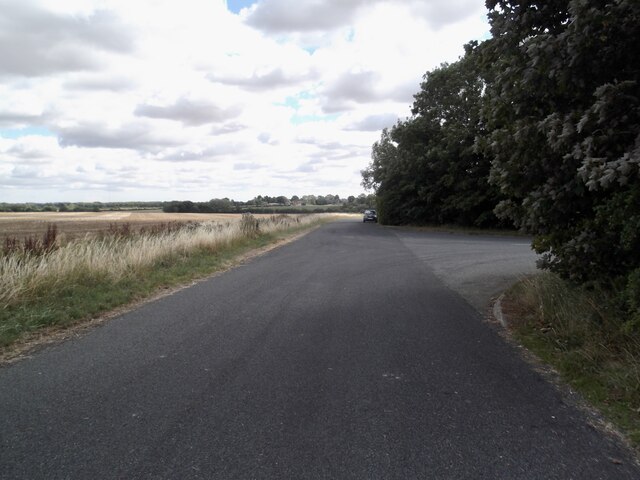
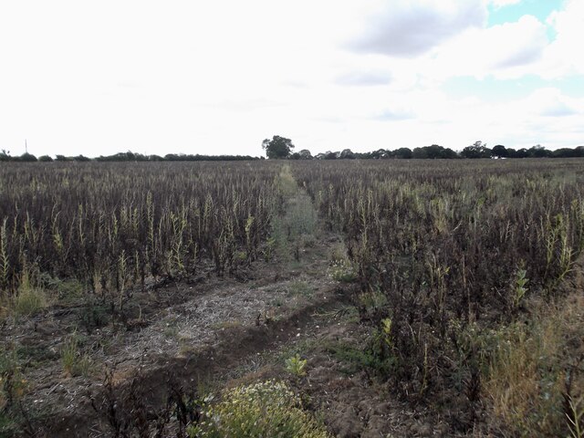
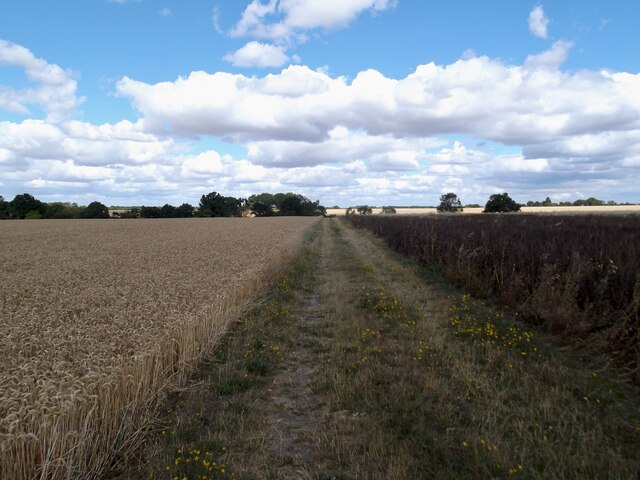
Badgermoor Wood Images

Images are sourced within 2km of 53.27752/-0.29632125 or Grid Reference TF1376. Thanks to Geograph Open Source API. All images are credited.

The Ivy public house and Corndolly café
The Turnor Arms
The Turnor Arms
The sign of The Turnor Arms See: <a href="https://www.geograph.org.uk/photo/6933995">TF1378 : The Turnor Arms</a>
The sign of The Turnor Arms
Cut Mark: Langton by Wragby, Rising Sun Farm Cut bench mark on the frontage of the farm building, facing the A158.  See <a title="https://www.geograph.org.uk/photo/6972663" href="https://www.geograph.org.uk/photo/6972663">Link</a> for a wider view and <span class="nowrap"><a title="https://www.bench-marks.org.uk/bm23078" rel="nofollow ugc noopener" href="https://www.bench-marks.org.uk/bm23078">Link</a><img style="margin-left:2px;" alt="External link" title="External link - shift click to open in new window" src="https://s1.geograph.org.uk/img/external.png" width="10" height="10"/></span> for details of the mark.
Cut Mark: Langton by Wragby, Rising Sun Farm
Cut bench mark on the frontage of the farm building, facing the A158. See Link for a wider view and LinkExternal link for details of the mark.
Langton by Wragby, Rising Sun Farm There is a cut bench mark on the frontage of the farm building at the far end, facing the A158.  See <a title="https://www.geograph.org.uk/photo/6972661" href="https://www.geograph.org.uk/photo/6972661">Link</a> for a close-up view and <span class="nowrap"><a title="https://www.bench-marks.org.uk/bm23078" rel="nofollow ugc noopener" href="https://www.bench-marks.org.uk/bm23078">Link</a><img style="margin-left:2px;" alt="External link" title="External link - shift click to open in new window" src="https://s1.geograph.org.uk/img/external.png" width="10" height="10"/></span> for details of the mark.
Langton by Wragby, Rising Sun Farm
There is a cut bench mark on the frontage of the farm building at the far end, facing the A158. See Link for a close-up view and LinkExternal link for details of the mark.
Ridge and furrow, Langton by Wragby: aerial 2022 (2) See <span class="nowrap"><a title="https://www.heritagegateway.org.uk/Gateway/Results_Single.aspx?uid=MLI88904&resourceID=1006" rel="nofollow ugc noopener" href="https://www.heritagegateway.org.uk/Gateway/Results_Single.aspx?uid=MLI88904&resourceID=1006">Link</a><img style="margin-left:2px;" alt="External link" title="External link - shift click to open in new window" src="https://s1.geograph.org.uk/img/external.png" width="10" height="10"/></span>
Ridge and furrow, Langton by Wragby: aerial 2022 (2)
See LinkExternal link
Ridge and furrow, Langton by Wragby: aerial 2022 (1) See <span class="nowrap"><a title="https://www.heritagegateway.org.uk/Gateway/Results_Single.aspx?uid=MLI88904&resourceID=1006" rel="nofollow ugc noopener" href="https://www.heritagegateway.org.uk/Gateway/Results_Single.aspx?uid=MLI88904&resourceID=1006">Link</a><img style="margin-left:2px;" alt="External link" title="External link - shift click to open in new window" src="https://s1.geograph.org.uk/img/external.png" width="10" height="10"/></span>
Ridge and furrow, Langton by Wragby: aerial 2022 (1)
See LinkExternal link
"Wragby Moats", a Manorian Manor complex: aerial 2022 The remains of a medieval manorial complex. 

See <span class="nowrap"><a title="https://www.heritagegateway.org.uk/Gateway/Results_Single.aspx?uid=09cad9c1-6cbb-4d7a-b6ac-b5ff9c4d1eec&resourceID=19191" rel="nofollow ugc noopener" href="https://www.heritagegateway.org.uk/Gateway/Results_Single.aspx?uid=09cad9c1-6cbb-4d7a-b6ac-b5ff9c4d1eec&resourceID=19191">Link</a><img style="margin-left:2px;" alt="External link" title="External link - shift click to open in new window" src="https://s1.geograph.org.uk/img/external.png" width="10" height="10"/></span> and <span class="nowrap"><a title="https://www.heritagegateway.org.uk/Gateway/Results_Single.aspx?uid=MLI43631&resourceID=1006" rel="nofollow ugc noopener" href="https://www.heritagegateway.org.uk/Gateway/Results_Single.aspx?uid=MLI43631&resourceID=1006">Link</a><img style="margin-left:2px;" alt="External link" title="External link - shift click to open in new window" src="https://s1.geograph.org.uk/img/external.png" width="10" height="10"/></span>

See also <a href="https://www.geograph.org.uk/photo/5021809">TF1377 : Wragby moats: aerial 2016</a> and <a href="https://www.geograph.org.uk/photo/5021793">TF1377 : Wragby and its moats: aerial 2016</a>.
"Wragby Moats", a Manorian Manor complex: aerial 2022
The remains of a medieval manorial complex. See LinkExternal link and LinkExternal link See also TF1377 : Wragby moats: aerial 2016 and TF1377 : Wragby and its moats: aerial 2016.
The Turnor Arms, Wragby
Old Lincoln Road, Goltho
Path across a field of beans
Field track to the medieval village of Goltho
Golden fields near Shepherd's Farm
Entrance off the B1202
Farm track near Kingthorpe
Road to Langton Hill Farm
Road by Coultas Wood
Show me another place!

Badgermoor Wood is located at Grid Ref: TF1376 (Lat: 53.27752, Lng: -0.29632125)

Administrative County: Lincolnshire

District: East Lindsey

Police Authority: Lincolnshire

What 3 Words

///hunt.dumpling.lavished. Near Wragby, Lincolnshire

Nearby Locations

Badgermoor Wood

Related Wikis

Wragby railway station

Wragby railway station was a railway station that served the town of Wragby, Lincolnshire, England between 1874 and 1960, on the Louth to Bardney line...

Langton by Wragby

Langton by Wragby is a small village and civil parish in the East Lindsey district of Lincolnshire, England. It lies approximately 1 mile (1.6 km) south...

Wragby

Wragby ( RAG-bee) is a town and civil parish in the East Lindsey district of Lincolnshire, England. It is situated at the junction of the A157 and A158...

Goltho

Goltho is a hamlet in the West Lindsey district of Lincolnshire, England. The population (including Bullington) was 157 at the 2011 census. It is situated...

Kingthorpe

Kingthorpe is a hamlet in the West Lindsey district of Lincolnshire, England. The hamlet is in the civil parish of Apley, and is 10 miles (16 km) east...

St George's Church, Goltho

St George's Church is a redundant Anglican church in the deserted village of Goltho, Lincolnshire, England. It is recorded in the National Heritage List...

Kingthorpe railway station

Kingthorpe railway station was a railway station that served the village of Kingthorpe, Lincolnshire, England between 1874 and 1956, on the Louth to Bardney...

Apley

Apley is a hamlet and civil parish in the West Lindsey district of Lincolnshire, England. It is situated 1 mile (1.6 km) west from the hamlet of Kingthorpe...

Nearby Amenities

Located within 500m of 53.27752,-0.29632125
Bus Stop
Primrose Hill Farm
Naptan AtcoCode: 270000010472
Naptan Bearing: S
Naptan CommonName: Primrose Hill Farm
Naptan Indicator: adj
Naptan Landmark: Primrose Hill Farm
Naptan NaptanCode: linjmtja
Naptan Street: Bardney Road
Naptan Verified: no
Source: naptan_import
Lat/Long: 53.2768192/-0.3011851
Bus Stop
Primrose Hill Farm
Naptan AtcoCode: 2700LGPH5107
Naptan Bearing: N
Naptan CommonName: Primrose Hill Farm
Naptan Indicator: opp
Naptan Landmark: Primrose Hill Farm
Naptan NaptanCode: lindptgm
Naptan Street: Bardney Road
Naptan Verified: no
Source: naptan_import
Lat/Long: 53.2764946/-0.301753
Power: pole
Lat/Long: 53.2736577/-0.3000883
Power: pole
Lat/Long: 53.275299/-0.3003267
Power: pole
Lat/Long: 53.2744826/-0.3002113
Power: pole
Lat/Long: 53.2760732/-0.299053
Power: pole
Lat/Long: 53.2772522/-0.3007478
Power: pole
Lat/Long: 53.2763756/-0.3004839
Power: pole
Lat/Long: 53.27607/-0.3004423
Power: pole
Lat/Long: 53.2769208/-0.3005577
Power: pole
Lat/Long: 53.2795398/-0.3020704
Power: pole
Lat/Long: 53.2776089/-0.302989
Power: pole
Lat/Long: 53.2755367/-0.2975147
Power: pole
Lat/Long: 53.2778352/-0.3020849
Power: pole
Lat/Long: 53.2780555/-0.3012202
Power: pole
Lat/Long: 53.2787798/-0.3016275
Primrose Hill
Place: locality
Source: Bing
Lat/Long: 53.2747739/-0.2955713
Power: pole
Lat/Long: 53.2745792/-0.2948834
Power: pole
Lat/Long: 53.2750395/-0.2961588
The data included in this document is from www.openstreetmap.org. The data is made available under ODbL.

Have you been to Badgermoor Wood?

Leave your review of Badgermoor Wood below (or comments, questions and feedback).