Hayes Wood

Wood, Forest in Northamptonshire

England

Hayes Wood

Marsh Marigolds at Castor Hanglands Marsh Marigolds grow in the damp areas at Castor Hanglands, a National Nature Reserve west of Peterborough.
Marsh Marigolds at Castor Hanglands Credit: Katie

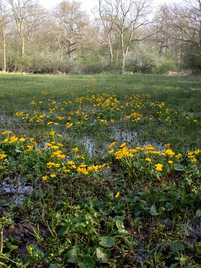
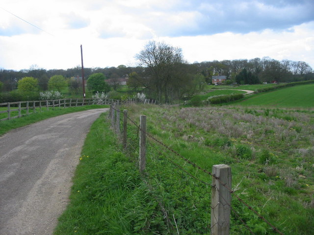
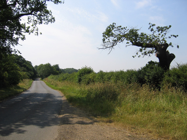
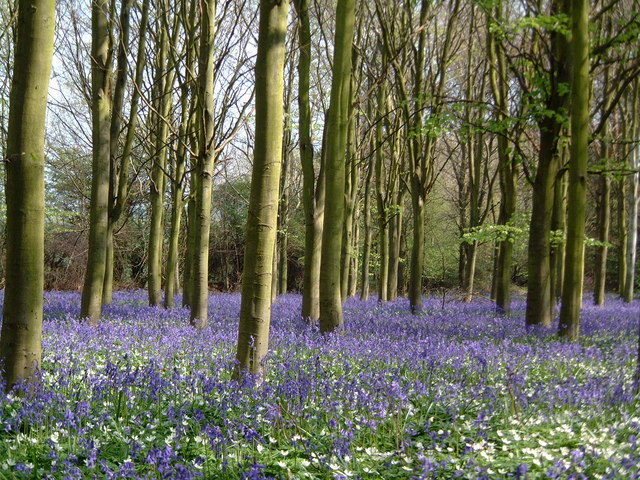
Hayes Wood is a small woodland located in Northamptonshire, England. Situated near the village of Wood, it covers an area of approximately 20 acres. The wood is primarily composed of deciduous trees, including oak, ash, and beech, which create a dense and vibrant canopy during the summer months. The woodland floor is covered in a thick carpet of ferns and wildflowers, providing a picturesque and tranquil setting for visitors.

Hayes Wood is known for its rich biodiversity, harboring a variety of wildlife species. The wood is home to numerous bird species, including woodpeckers, nuthatches, and warblers, which fill the air with their melodic songs. It is also a popular habitat for small mammals such as squirrels, rabbits, and hedgehogs. The woodland's diverse flora and fauna make it an ideal spot for nature enthusiasts and birdwatchers.

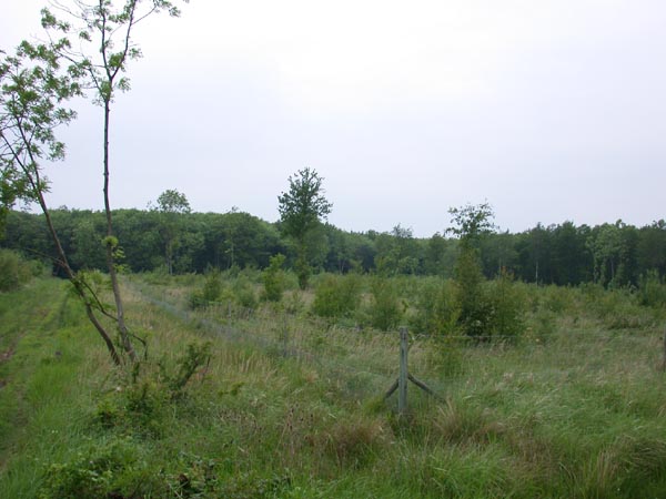
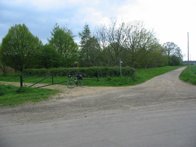
The wood is crisscrossed by a network of well-maintained footpaths, allowing visitors to explore its beauty and serenity. These paths wind through the trees, offering glimpses of the wood's stunning scenery from various angles. There are also benches and picnic areas scattered throughout the wood, providing opportunities for visitors to relax and enjoy a picnic amidst nature.

Hayes Wood is maintained by the local council, which ensures its preservation and protection. The wood is open to the public year-round, free of charge, and provides a valuable recreational space for both locals and visitors. Whether it's a leisurely stroll, birdwatching, or simply enjoying the tranquility of nature, Hayes Wood offers a wonderful escape from the hustle and bustle of everyday life.

If you have any feedback on the listing, please let us know in the comments section below.
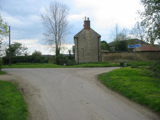
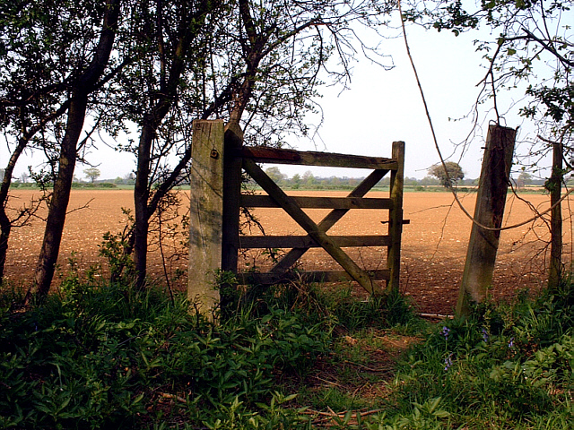
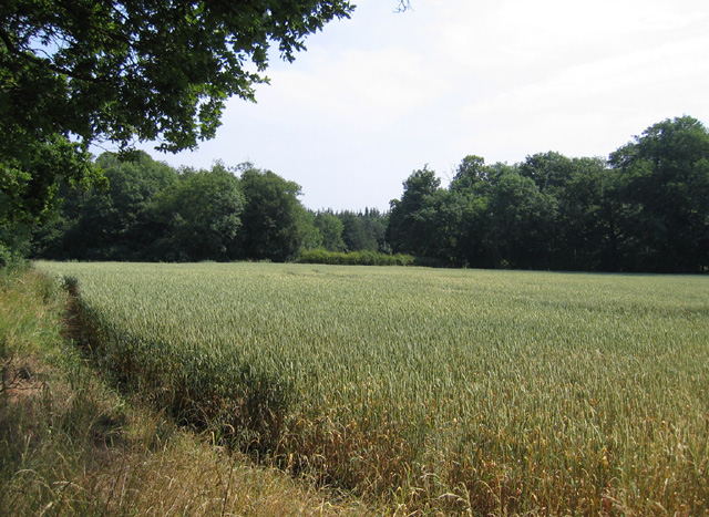
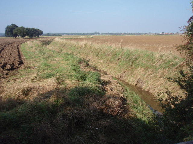
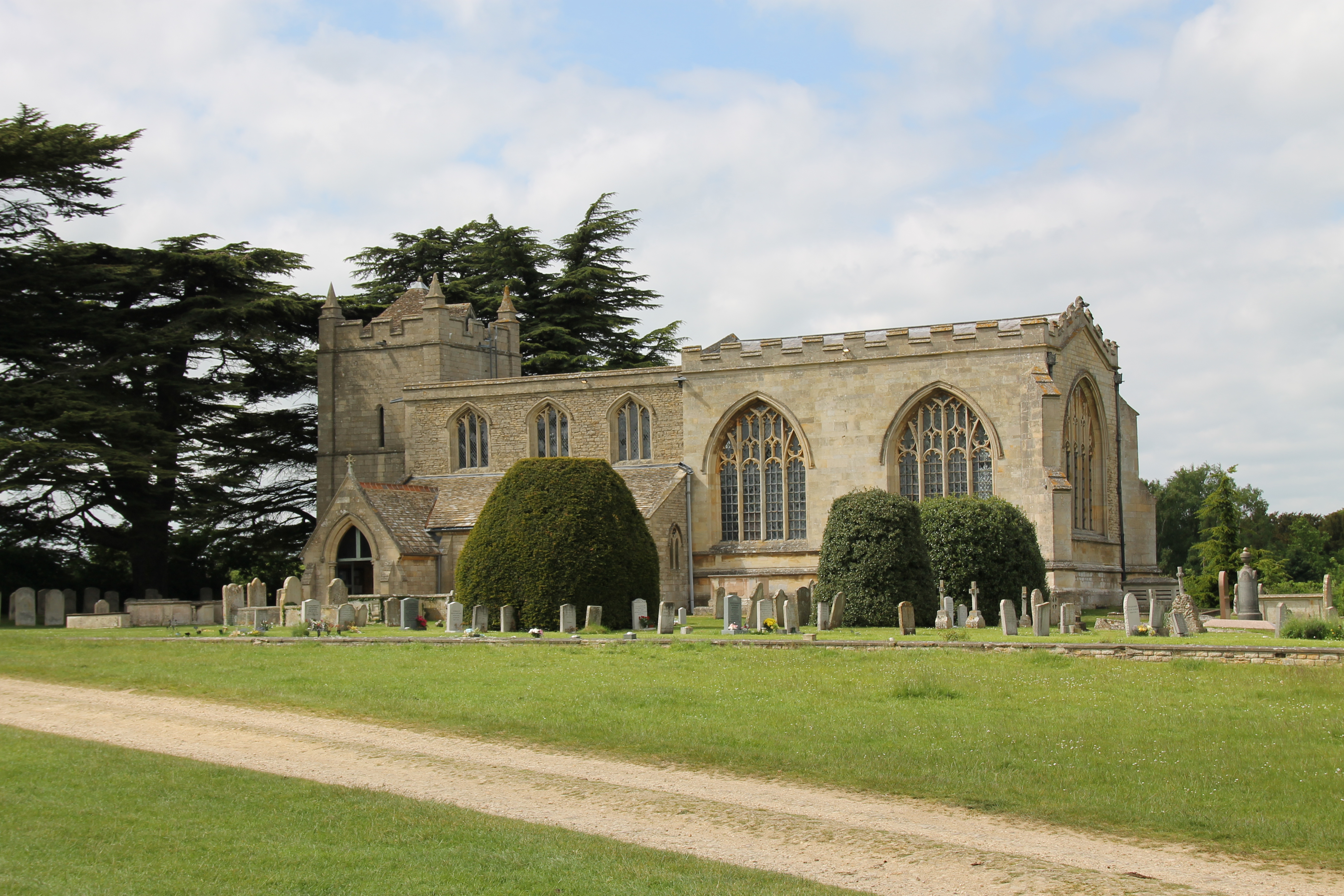
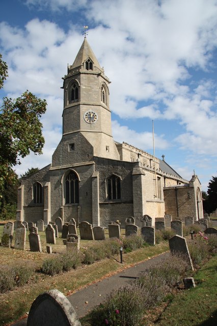
Hayes Wood Images

Images are sourced within 2km of 52.612805/-0.32746815 or Grid Reference TF1302. Thanks to Geograph Open Source API. All images are credited.

Marsh Marigolds at Castor Hanglands Marsh Marigolds grow in the damp areas at Castor Hanglands, a National Nature Reserve west of Peterborough.
Marsh Marigolds at Castor Hanglands
Marsh Marigolds grow in the damp areas at Castor Hanglands, a National Nature Reserve west of Peterborough.
Castor Hanglands NNR Castor Hanglands was formerly a hunting ground for local kings. Now it's a nature reserve with an interesting mix of habitats. The fencing is to keep the Fallow Deer out.
Castor Hanglands NNR
Castor Hanglands was formerly a hunting ground for local kings. Now it's a nature reserve with an interesting mix of habitats. The fencing is to keep the Fallow Deer out.
Farmland, Helpston Heath, Peterborough Farmland formerly Helpston Heath until enclosure in 1809, the subject of John Clare's poetic works; view east from near Clare's 'Langley Bush' from his 'Remembrances' poem.
Farmland, Helpston Heath, Peterborough
Farmland formerly Helpston Heath until enclosure in 1809, the subject of John Clare's poetic works; view east from near Clare's 'Langley Bush' from his 'Remembrances' poem.
Rolling farmland, Helpston Heath, Peterborough View E from King Street towards the disused Helpston Quarry on the right.
Rolling farmland, Helpston Heath, Peterborough
View E from King Street towards the disused Helpston Quarry on the right.
Marholm church View of St Mary's Church, Marholm.
Marholm church
View of St Mary's Church, Marholm.
View to Steeping Wood
Belsize Farm Belsize Farm near the village of Marholm.
Belsize Farm
Belsize Farm near the village of Marholm.
Marholm Village Centre Marholm is a pretty little village just outside the city of Peterborough.  The view has the essentials of a typical village scene - the village green with its sign, war memorial and a pub in the distance.
Marholm Village Centre
Marholm is a pretty little village just outside the city of Peterborough. The view has the essentials of a typical village scene - the village green with its sign, war memorial and a pub in the distance.
Fortified or Farm Building This is the only building in this grid square.  Its purpose is not clear; it looks like a disused barn but closer inspection showed it to have slit windows similar to those found on castles.  Behind it appeared to be the remains of a walled garden.
Fortified or Farm Building
This is the only building in this grid square. Its purpose is not clear; it looks like a disused barn but closer inspection showed it to have slit windows similar to those found on castles. Behind it appeared to be the remains of a walled garden.
Junction of Track to Woodcroft Lodge The track to the right leads to Woodcroft Lodge (no public access).  On the left the track leads to some derelict farm buildings.  This quiet backroad lies just to the west of the city of Peterborough.
Junction of Track to Woodcroft Lodge
The track to the right leads to Woodcroft Lodge (no public access). On the left the track leads to some derelict farm buildings. This quiet backroad lies just to the west of the city of Peterborough.
Junction near Woodcroft Castle This junction is on a very quiet minor road to the west of Peterborough.  The blue signs indicate that it is now part of the network of designated cycles paths around the city.  Woodcroft Castle is a fine moated house just to the left of the picture in an adjacent grid square.
Junction near Woodcroft Castle
This junction is on a very quiet minor road to the west of Peterborough. The blue signs indicate that it is now part of the network of designated cycles paths around the city. Woodcroft Castle is a fine moated house just to the left of the picture in an adjacent grid square.
Old gate in Castor Hanglands NNR An old gate on the eastern edge of Castor Hanglands NNR, nr Peterborough. The photograph was taken in April; the field beyond had already been seeded and come the Summer will be covered with golden corn.
Old gate in Castor Hanglands NNR
An old gate on the eastern edge of Castor Hanglands NNR, nr Peterborough. The photograph was taken in April; the field beyond had already been seeded and come the Summer will be covered with golden corn.
Heath Road, Helpston, Peterborough – view south.
Heath Road, Helpston, Peterborough
– view south.
Woodland and farmland, Helpston, Peterborough – view NE from Heath Road towards Oxey Wood.
Woodland and farmland, Helpston, Peterborough
– view NE from Heath Road towards Oxey Wood.
Bluebells at Helpston Heath
Fox and pylon A worried fox and so he should be this is the Heart of the Fitzwilliam hunt.
Fox and pylon
A worried fox and so he should be this is the Heart of the Fitzwilliam hunt.
Howe Drain Howe Drain viewed from Woodcroft Road bridge, just south of Woodcroft level crossing.
Howe Drain
Howe Drain viewed from Woodcroft Road bridge, just south of Woodcroft level crossing.
Bend in Heath Road A bend in Heath Road, Helpston. Looking towards the corner of Rice Wood.
Bend in Heath Road
A bend in Heath Road, Helpston. Looking towards the corner of Rice Wood.
Show me another place!

Hayes Wood is located at Grid Ref: TF1302 (Lat: 52.612805, Lng: -0.32746815)

Division: Soke of Peterborough

Unitary Authority: Peterborough

Police Authority: Cambridgeshire

What 3 Words

///rugs.left.quit. Near Marholm, Cambridgeshire

Nearby Locations

Hayes Wood

Related Wikis

Woodcroft Castle

Woodcroft Castle is a moated medieval castle in the parish of Etton, Cambridgeshire, England. == History == Woodcroft Castle was built at the end of the...

Castor Hanglands National Nature Reserve

Castor Hanglands is an 89.8-hectare (222-acre) biological Site of Special Scientific Interest west of Peterborough in Cambridgeshire. The site is also...

Marholm

Marholm is a village and civil parish in the Peterborough district, in the ceremonial county of Cambridgeshire, England. West of Peterborough and 1 mile...

Helpston railway station

Helpston railway station was a station in Helpston, Cambridgeshire, on the Midland Railway's Syston and Peterborough Railway. It was closed in 1966. The...

Werrington Dive Under

Werrington Dive Under (also known as the Werrington Grade Separation) is a replacement dual track grade separated railway junction at Werrington Junction...

John Clare Cottage

John Clare Cottage is a cottage and literary museum in Helpston, Peterborough, United Kingdom. The cottage was the birthplace of English poet John Clare...

Helpston

Helpston (also, formerly, "Helpstone") is an English village in Cambridgeshire. Historically; it was formerly in the Soke of Peterborough in Northamptonshire...

Arthur Mellows Village College

Arthur Mellows Village College is a secondary school in Glinton in the local authority of Peterborough. The college is an academy with a specialism in...

Nearby Amenities

Located within 500m of 52.612805,-0.32746815
Building: yes
Lat/Long: 52.6092275/-0.3268396
Building: yes
Lat/Long: 52.6101786/-0.3317441
Man Made: utility_pole
Lat/Long: 52.6166036/-0.3242558
Man Made: utility_pole
Lat/Long: 52.6160166/-0.3232469
The data included in this document is from www.openstreetmap.org. The data is made available under ODbL.

Have you been to Hayes Wood?

Leave your review of Hayes Wood below (or comments, questions and feedback).