Abbot's Holt
Wood, Forest in Lincolnshire North Kesteven
England
Abbot's Holt
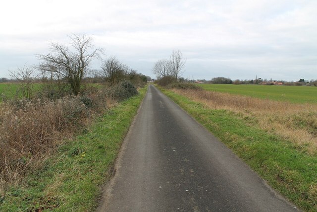
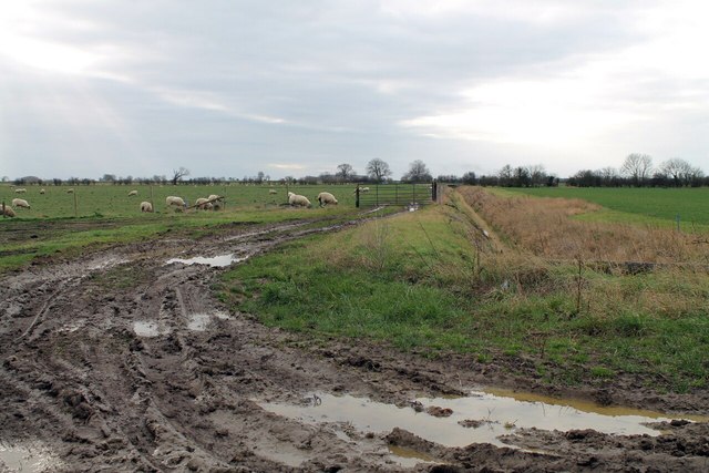
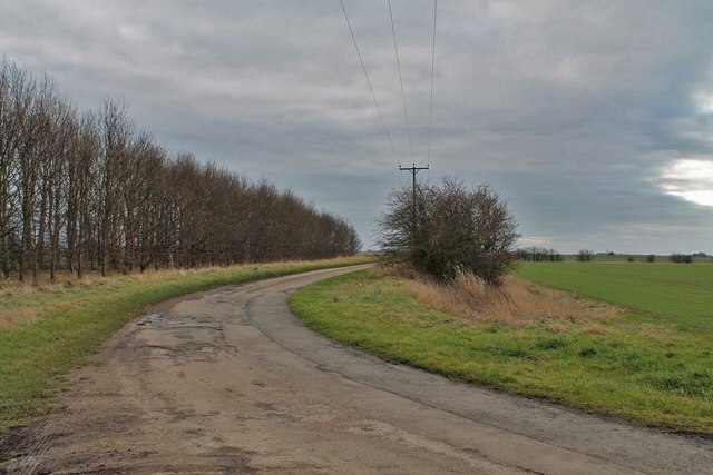
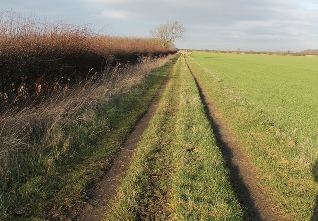
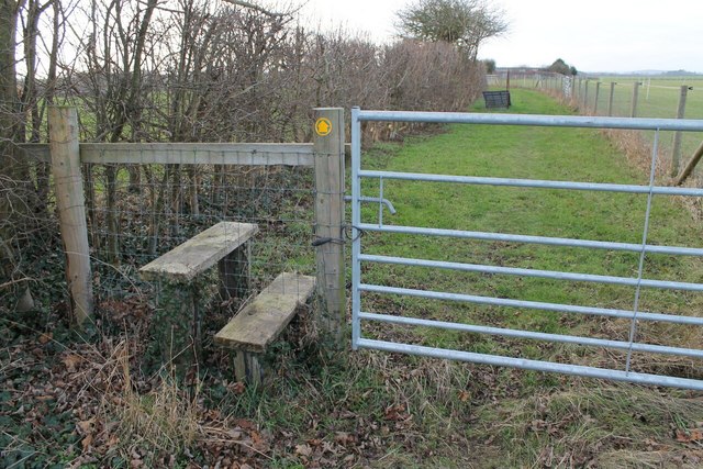
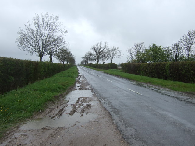
Abbot's Holt is a charming woodland area located in Lincolnshire, England. Situated within the larger region known as the Lincolnshire Wolds, this particular forest is known for its natural beauty and tranquil atmosphere. Spanning over a vast area, Abbot's Holt is a haven for nature enthusiasts and outdoor lovers.
The woodland is primarily composed of a mix of deciduous and coniferous trees, creating a diverse and picturesque landscape. The dense canopy provides shade on sunny days and shelters a myriad of flora and fauna. Bluebells, wild garlic, and ferns carpet the forest floor, contributing to its enchanting ambiance.
Abbot's Holt offers various walking trails and pathways, allowing visitors to explore the area at their leisure. The paths wind through the forest, leading to hidden clearings, babbling brooks, and peaceful ponds. Birdwatchers will be delighted by the wide range of avian species that call the forest home, including woodpeckers, owls, and songbirds.
Additionally, Abbot's Holt is home to a diverse range of wildlife. Squirrels, rabbits, and foxes can often be spotted darting through the undergrowth, while deer can be glimpsed grazing in the early morning or late evening.
Overall, Abbot's Holt is a natural gem in the heart of Lincolnshire. Its idyllic woodland setting, abundant wildlife, and serene atmosphere make it a popular destination for those seeking solace in nature's embrace.
If you have any feedback on the listing, please let us know in the comments section below.
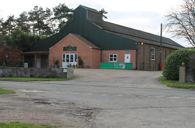
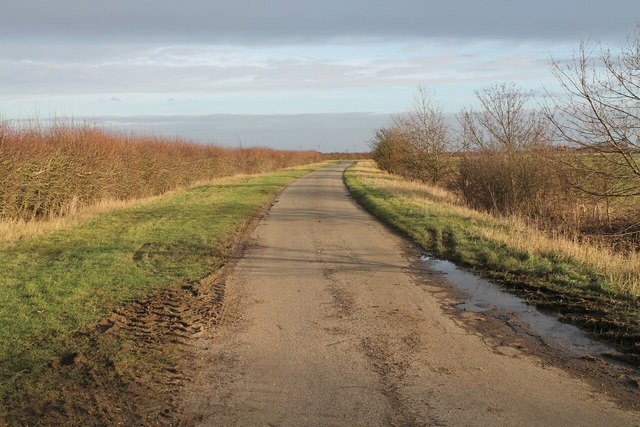
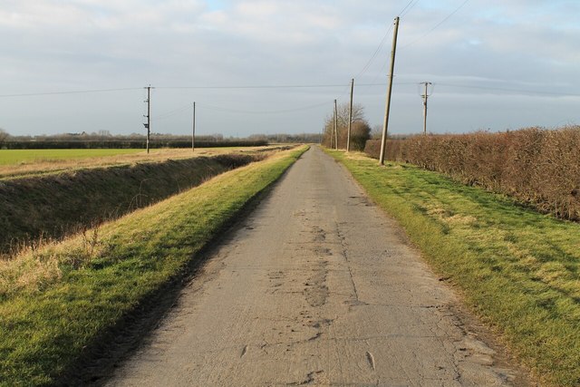
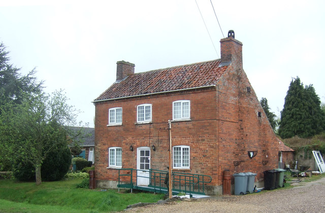
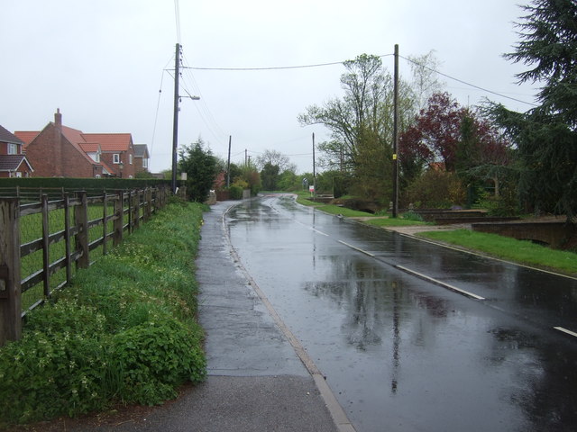
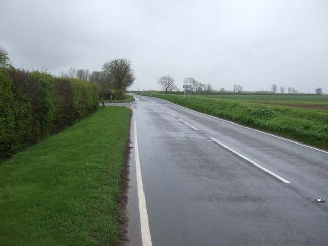
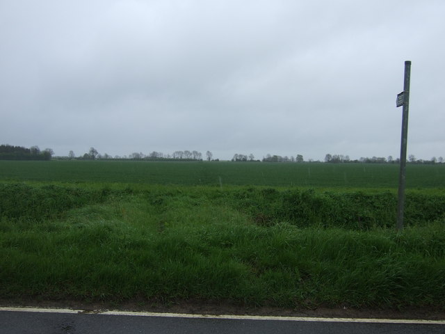
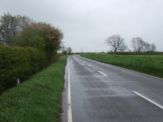
Abbot's Holt Images
Images are sourced within 2km of 52.916862/-0.31580591 or Grid Reference TF1336. Thanks to Geograph Open Source API. All images are credited.
Abbot's Holt is located at Grid Ref: TF1336 (Lat: 52.916862, Lng: -0.31580591)
Administrative County: Lincolnshire
District: North Kesteven
Police Authority: Lincolnshire
What 3 Words
///gossip.backpack.betraying. Near Billingborough, Lincolnshire
Nearby Locations
Related Wikis

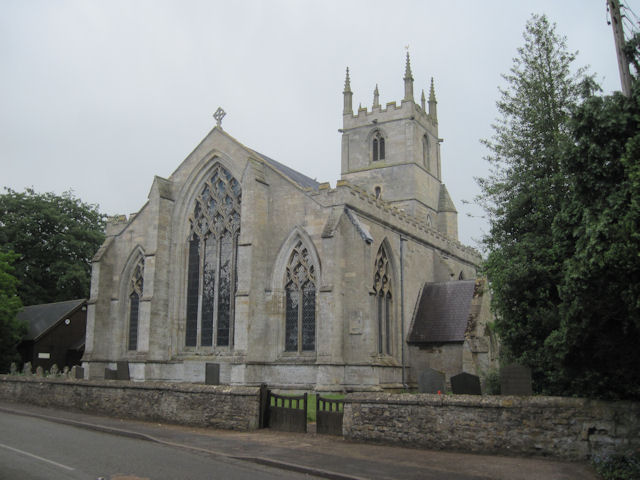
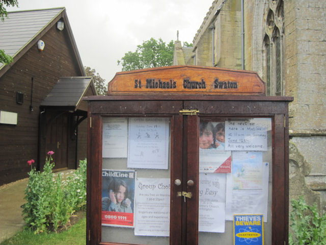
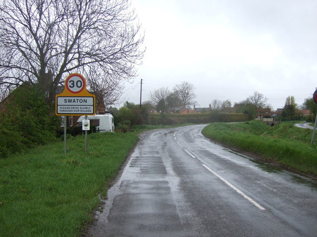
Swaton
Swaton is a village and civil parish in the North Kesteven district of Lincolnshire, England. It is situated on the B1394 road, less than 0.5 miles (0...

Bridgend Priory
Bridgend Priory was a monastic house in Horbling, Lincolnshire, England. The priory was founded around 1199 by Godwin the Rich of Lincoln, a benefactor...

Horbling
Horbling is a village and civil parish in the South Kesteven district of Lincolnshire, England. It lies on the B1177, 7 miles (11 km) south-east of Sleaford...

St Andrew's Church, Billingborough
St Andrew's Church is a Grade I listed Anglican parish church dedicated to Andrew the Apostle, in Billingborough, Lincolnshire, England. The church is...
Billingborough
Billingborough is a village and civil parish in the South Kesteven district of Lincolnshire, England. It is situated approximately 10 miles (16 km) north...

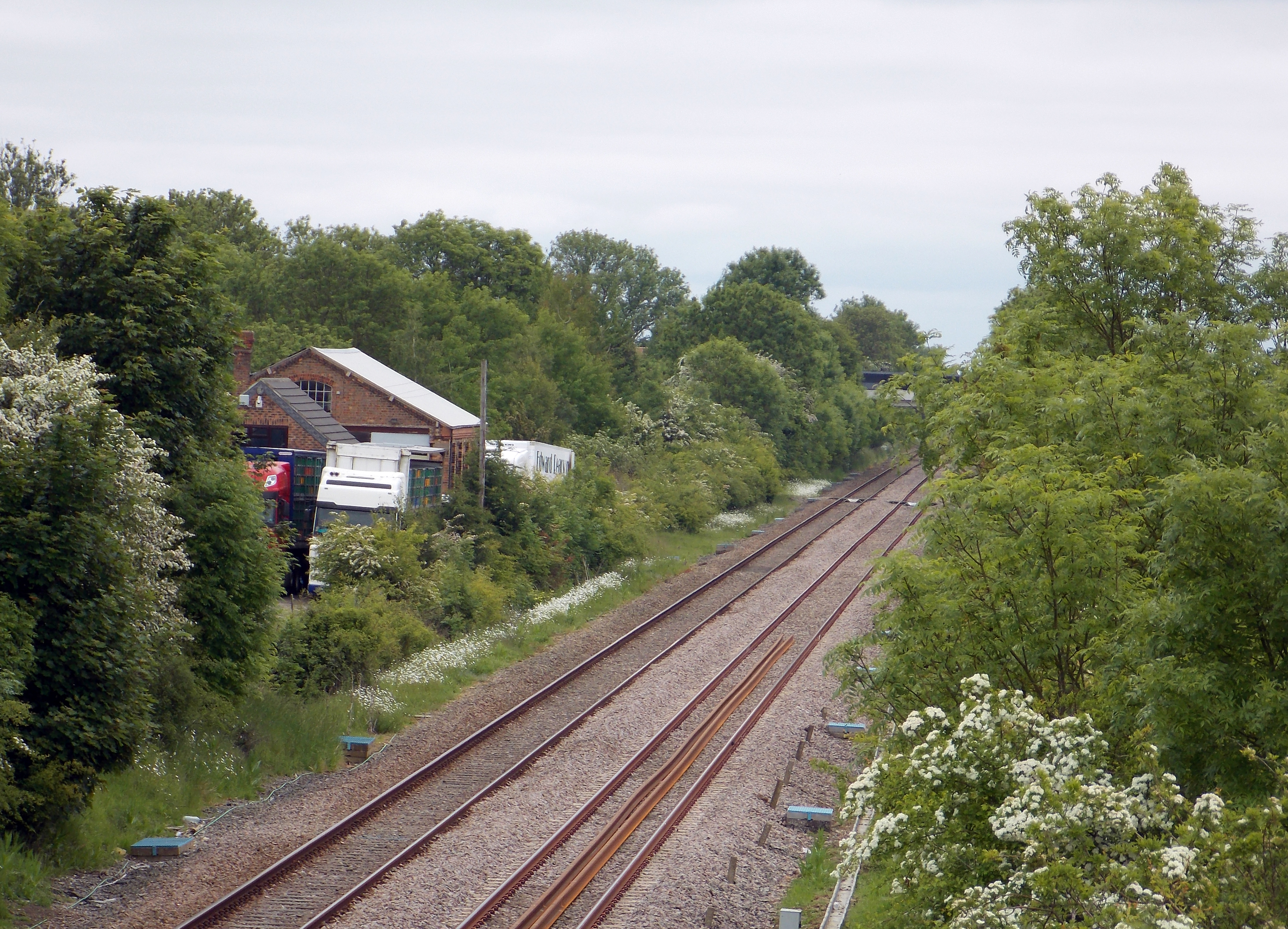
Billingborough and Horbling railway station
Billingborough and Horbling railway station was a station serving the villages of Billingborough, Horbling and Threekingham, Lincolnshire on the Great...

Sempringham
Sempringham is a hamlet in the South Kesteven district of Lincolnshire, England. It is situated 2 miles (3.2 km) south from the A52 road, 12 miles (19...
Helpringham railway station
Helpringham railway station was a station in Helpringham, Lincolnshire. The station was opened by the Great Northern and Great Eastern Joint Railway on...
Nearby Amenities
Located within 500m of 52.916862,-0.31580591Have you been to Abbot's Holt?
Leave your review of Abbot's Holt below (or comments, questions and feedback).