Geescroft Wilderness

Wood, Forest in Hertfordshire St. Albans

England

Geescroft Wilderness

On Church Green in Harpenden Red Knitwear and The Wine Rack. High Street is the larger road adjacent.
On Church Green in Harpenden Credit: Jeremy Bolwell

Geescroft Wilderness is a picturesque woodland located in Hertfordshire, England. Sprawling over a vast area, it offers visitors a tranquil escape from the bustling city life. The wilderness is well-known for its dense forest cover and rich biodiversity, making it a popular destination for nature enthusiasts and hikers.

As you step into Geescroft Wilderness, you are greeted by towering trees that create a canopy, shielding the forest floor from excessive sunlight. The wood is predominantly composed of oak, beech, and birch trees, which provide a stunning display of colors during the autumn season. Walking along the well-marked paths, you may come across a variety of wildflowers, including bluebells, primroses, and foxgloves, adding bursts of vibrant colors to the landscape.

The woodland is also home to a wide range of bird species, making it a paradise for birdwatchers. Visitors may have the opportunity to spot woodpeckers, owls, and various songbirds chirping melodiously amidst the peaceful surroundings.

Geescroft Wilderness has a rich history, with evidence of human activity dating back centuries. Remnants of ancient settlements, such as burial mounds and earthworks, can be found scattered throughout the wood, providing a glimpse into the region's past.

The wilderness offers several walking trails of varying lengths and difficulties, catering to all levels of fitness. Whether you are seeking a leisurely stroll or a more challenging hike, Geescroft Wilderness has something for everyone.

Overall, Geescroft Wilderness is a captivating woodland that offers a serene and rejuvenating experience for those seeking to connect with nature in Hertfordshire.

If you have any feedback on the listing, please let us know in the comments section below.

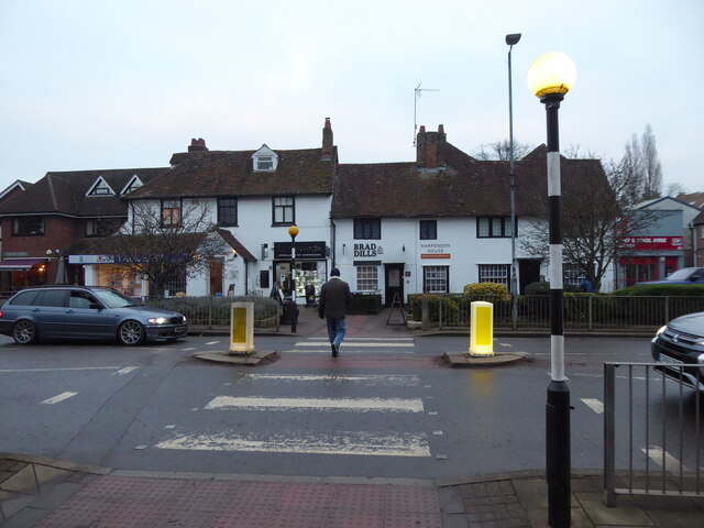
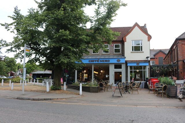
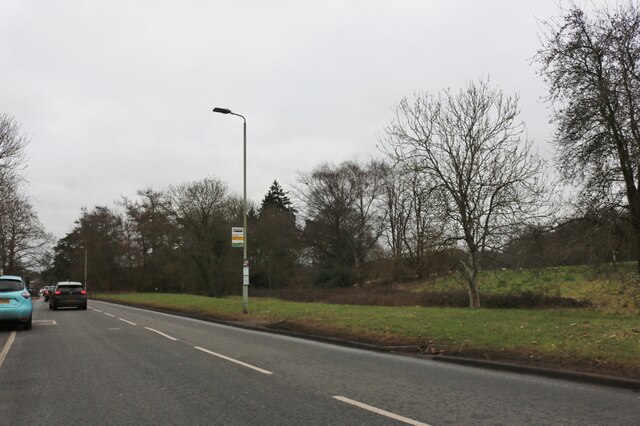
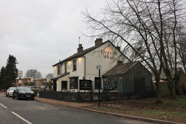
Geescroft Wilderness Images

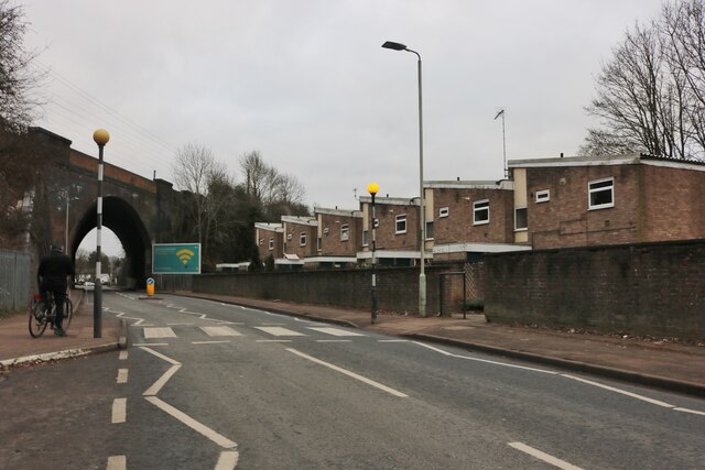
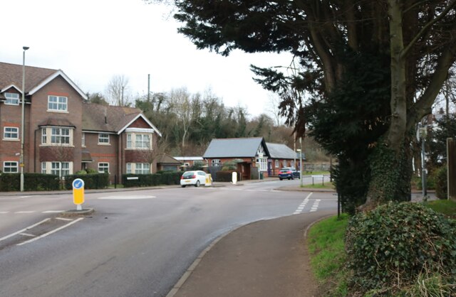
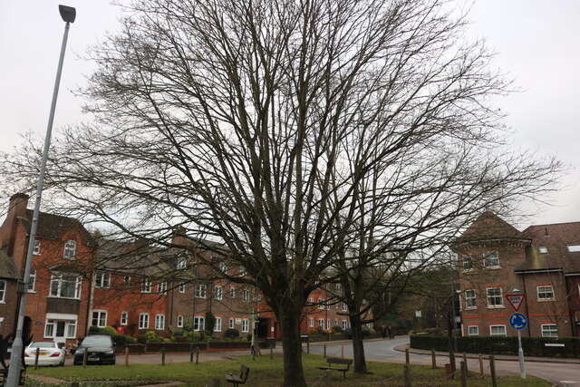
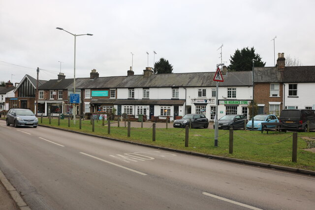
Images are sourced within 2km of 51.802291/-0.36064785 or Grid Reference TL1312. Thanks to Geograph Open Source API. All images are credited.

On Church Green in Harpenden Red Knitwear and The Wine Rack. High Street is the larger road adjacent.
On Church Green in Harpenden
Red Knitwear and The Wine Rack. High Street is the larger road adjacent.
The Old Cock Inn on Harpenden High Street The town is busy.
The Old Cock Inn on Harpenden High Street
The town is busy.
Kwik Fit on Harpenden High Street A female voice sings inside the workshop, either a team member or a really happy customer.
Kwik Fit on Harpenden High Street
A female voice sings inside the workshop, either a team member or a really happy customer.
Zebra crossing on Harpenden high street Opposite an estate agents, I think.
Zebra crossing on Harpenden high street
Opposite an estate agents, I think.
Map Stores on High Street, Harpenden When I spotted the shop sign, my pace quickened and so did my heart beat for as an ardent walker there is little I love more than a map shop. "Great!" I thought, "Now that's what I call a shop!" and anticipated browsing some maps and possibly purchasing a few much needed ones. But then much to my wife's amusement the shop turned out to be a very upmarket independent 'boutique' purveyor of some uber-desirable household items from ceramics, homewares, designer products and lifestyle must-haves for the most discerning aficionados and the elite cognoscenti of on-trend knick-knacks, cutting edge beverage containers, candles, planters and the like. My wife went in and of course I followed. Here was quite a few minutes I wasn't going to get back, but of course I have to accrue brownie points so that when, or if, the tables are turned I can browse, ponder and weigh up products and items that I LIKE.

I have to say that every single item I saw in here was extremely buyable; I carefully fitted my hand around ceramic coffee beakers, inhaled several exotic candle scents, admired very expensive looking 'objets' from brands from Copenhagen, India and worldwide which I had never heard of and all had that inscrutable, unattainable aura, that fleeting, never to be experienced allure exuded by high class international hostesses, Swiss bankers and super-yacht brokers. 

Needless to say I left empty handed. I already own too much clutter, too many beverage containers and would be too scared to actually use such designer items anyway. 

Maps I do need though.
Map Stores on High Street, Harpenden
When I spotted the shop sign, my pace quickened and so did my heart beat for as an ardent walker there is little I love more than a map shop. "Great!" I thought, "Now that's what I call a shop!" and anticipated browsing some maps and possibly purchasing a few much needed ones. But then much to my wife's amusement the shop turned out to be a very upmarket independent 'boutique' purveyor of some uber-desirable household items from ceramics, homewares, designer products and lifestyle must-haves for the most discerning aficionados and the elite cognoscenti of on-trend knick-knacks, cutting edge beverage containers, candles, planters and the like. My wife went in and of course I followed. Here was quite a few minutes I wasn't going to get back, but of course I have to accrue brownie points so that when, or if, the tables are turned I can browse, ponder and weigh up products and items that I LIKE. I have to say that every single item I saw in here was extremely buyable; I carefully fitted my hand around ceramic coffee beakers, inhaled several exotic candle scents, admired very expensive looking 'objets' from brands from Copenhagen, India and worldwide which I had never heard of and all had that inscrutable, unattainable aura, that fleeting, never to be experienced allure exuded by high class international hostesses, Swiss bankers and super-yacht brokers. Needless to say I left empty handed. I already own too much clutter, too many beverage containers and would be too scared to actually use such designer items anyway. Maps I do need though.
On Station Road in Harpenden Obviously a main street in this interesting town.
On Station Road in Harpenden
Obviously a main street in this interesting town.
The war memorial in Harpenden At the going down of the sun and in the morning we will remember them.
The war memorial in Harpenden
At the going down of the sun and in the morning we will remember them.
Caffe Nero on Harpenden High Street
Kia Motors on Luton Road, Harpenden
Southdown Road by Harpenden Common
The Queens Head, Harpenden It was painted in 2021
The Queens Head, Harpenden
It was painted in 2021
Queens Road, Harpenden From Southdown Road
Queens Road, Harpenden
From Southdown Road
Southdown Road, Harpenden
Southdown Road, Harpenden Looking towards Walkers Road
Southdown Road, Harpenden
Looking towards Walkers Road
Lydekker Park car park
Show me another place!

Geescroft Wilderness is located at Grid Ref: TL1312 (Lat: 51.802291, Lng: -0.36064785)

Administrative County: Hertfordshire

District: St. Albans

Police Authority: Hertfordshire

What 3 Words

///lied.voted.zone. Near Harpenden, Hertfordshire

Related Wikis

Ahm House

The Ahm House at 44 West Common Way is a house in Harpenden in Hertfordshire, England. It was built between 1961 and 1963 by the structural engineer Povl...

Rothamsted Manor

Rothamsted Manor is a former manor and current manor house, situated in Harpenden Rural in the English county of Hertfordshire. A Grade I listed building...

Harpenden Common Golf Club

Harpenden Common Golf Club is a private members' golf club in Harpenden, Hertfordshire. Although golf has been played on Harpenden Common since 1895, Harpenden...

Harpenden RFC

Harpenden Rugby Football Club is a rugby club based in Harpenden. They play in Regional 1 South East - a league at tier 5 of the English rugby union system...

Nearby Amenities

Located within 500m of 51.802291,-0.36064785
Created By: osmeditor2
Lat/Long: 51.8014638/-0.3675728
Hatching Green
Place: village
Lat/Long: 51.8041637/-0.3582286
Post Box
Collection Times: Mo-Fr 09:00; Sa 07:00
Operator: Royal Mail
Operator Wikidata: Q638098
Post Box Type: pillar
Ref: AL5 13D
Royal Cypher: EVIIR
Royal Cypher Wikidata: Q33102324
Lat/Long: 51.8039161/-0.3546484
Bus Stop
White Horse PH
Bench: no
Bus: yes
Naptan AtcoCode: 210021500780
Naptan Bearing: SW
Naptan CommonName: White Horse PH
Naptan Crossing: Hatching Green Close
Naptan Indicator: opp
Naptan Landmark: Hatching Green Close
Naptan NaptanCode: hrtdajgj
Naptan PlusbusZoneRef: HRPNDN
Naptan ShortCommonName: NA
Naptan Street: Redbourn Lane
Naptan Verified: no
Public Transport: platform
Shelter: no
Source: naptan_import
Lat/Long: 51.8038924/-0.3557897
Bus Stop
Oakfield Road
Bench: no
Bus: yes
Local Ref: NR
Naptan AtcoCode: 210021500800
Naptan Bearing: SW
Naptan CommonName: Oakfield Road
Naptan Crossing: opp Hatching Green
Naptan Indicator: nr
Naptan Landmark: opp Hatching Green
Naptan NaptanCode: hrtdajgm
Naptan PlusbusZoneRef: HRPNDN
Naptan ShortCommonName: NA
Naptan Street: Redbourn Lane
Naptan Verified: no
Public Transport: platform
Shelter: no
Source: naptan_import
Lat/Long: 51.8018648/-0.3595726
Bus Stop
Golf Club
Bench: no
Bus: yes
Local Ref: NR
Naptan AtcoCode: 210021500820
Naptan Bearing: NW
Naptan CommonName: Golf Club
Naptan Crossing: Redbourn Golf Club
Naptan Indicator: nr
Naptan Landmark: Redbourn Golf Club
Naptan NaptanCode: hrtdajgp
Naptan PlusbusZoneRef: HRPNDN
Naptan ShortCommonName: NA
Naptan Street: Redbourn Lane
Naptan Verified: no
Public Transport: platform
Shelter: no
Source: naptan_import
Lat/Long: 51.8008618/-0.3662747
Bus Stop
Golf Club
Bench: no
Bus: yes
Naptan AtcoCode: 210021510940
Naptan Bearing: SE
Naptan CommonName: Golf Club
Naptan Crossing: opp Redbourn Golf Club
Naptan Indicator: opp
Naptan Landmark: opp Redbourn Golf Club
Naptan NaptanCode: hrtatjmg
Naptan PlusbusZoneRef: HRPNDN
Naptan ShortCommonName: NA
Naptan Street: Redbourn Lane
Naptan Verified: no
Public Transport: platform
Shelter: no
Source: naptan_import
Lat/Long: 51.8007553/-0.3655487
Bus Stop
Oakfield Road
Bench: no
Bus: yes
Naptan AtcoCode: 210021510960
Naptan Bearing: NE
Naptan CommonName: Oakfield Road
Naptan Crossing: Hatching Green
Naptan Indicator: opp
Naptan Landmark: Hatching Green
Naptan NaptanCode: hrtatjmj
Naptan PlusbusZoneRef: HRPNDN
Naptan ShortCommonName: NA
Naptan Street: Redbourn Lane
Naptan Verified: no
Public Transport: platform
Shelter: no
Source: naptan_import
Lat/Long: 51.8016375/-0.3604757
Bus Stop
White Horse PH
Bench: no
Bus: yes
Local Ref: NR
Naptan AtcoCode: 210021510980
Naptan Bearing: NE
Naptan CommonName: White Horse PH
Naptan Crossing: Flowton Grove
Naptan Indicator: nr
Naptan Landmark: Flowton Grove
Naptan NaptanCode: hrtatjmp
Naptan PlusbusZoneRef: HRPNDN
Naptan ShortCommonName: NA
Naptan Street: Redbourn Lane
Naptan Verified: no
Public Transport: platform
Shelter: no
Source: naptan_import
Lat/Long: 51.8037759/-0.3566849
Crossing
Crossing: uncontrolled
Crossing Island: no
Tactile Paving: no
Lat/Long: 51.8041524/-0.3548959
Traffic Calming: hump
Lat/Long: 51.7991839/-0.3606155
Turning Circle
Lat/Long: 51.8025906/-0.3580975
Golf: pin
Lat/Long: 51.7999838/-0.366251
Post Box
Collection Times: Mo-Fr 09:00; Sa 07:00
Operator: Royal Mail
Operator Wikidata: Q638098
Post Box Type: lamp
Ref: AL5 186D
Royal Cypher: EIIR
Royal Cypher Wikidata: Q33102113
Lat/Long: 51.8001521/-0.363497
Traffic Calming: hump
Lat/Long: 51.797841/-0.3602591
Direction: 200
Generator Method: photovoltaic
Generator Output Electricity: yes
Generator Solar Modules: 6
Generator Source: solar
Generator Type: solar_photovoltaic_panel
Location: roof
Power: generator
Lat/Long: 51.797912/-0.3616344
Direction: 180
Generator Method: photovoltaic
Generator Output Electricity: yes
Generator Solar Modules: 6
Generator Source: solar
Generator Type: solar_photovoltaic_panel
Location: roof
Power: generator
Lat/Long: 51.7984601/-0.3604129
Direction: 190
Generator Method: photovoltaic
Generator Output Electricity: yes
Generator Solar Modules: 3
Generator Source: solar
Generator Type: solar_photovoltaic_panel
Location: roof
Power: generator
Lat/Long: 51.7987449/-0.360409
Direction: 205
Generator Method: photovoltaic
Generator Output Electricity: yes
Generator Solar Modules: 3
Generator Source: solar
Generator Type: solar_photovoltaic_panel
Location: roof
Power: generator
Lat/Long: 51.7990826/-0.3603109
Direction: 175
Generator Method: photovoltaic
Generator Output Electricity: yes
Generator Solar Modules: 20
Generator Source: solar
Generator Type: solar_photovoltaic_panel
Location: roof
Power: generator
Lat/Long: 51.800355/-0.3589254
Direction: 210
Generator Method: photovoltaic
Generator Output Electricity: yes
Generator Solar Modules: 40
Generator Source: solar
Generator Type: solar_photovoltaic_panel
Location: roof
Power: generator
Lat/Long: 51.8022826/-0.3580412
Direction: 210
Generator Method: photovoltaic
Generator Output Electricity: yes
Generator Solar Modules: 16
Generator Source: solar
Generator Type: solar_photovoltaic_panel
Location: roof
Power: generator
Lat/Long: 51.800414/-0.3653748
Direction: 180
Generator Method: photovoltaic
Generator Output Electricity: yes
Generator Solar Modules: 12
Generator Source: solar
Generator Type: solar_photovoltaic_panel
Location: roof
Power: generator
Lat/Long: 51.801039/-0.3544207
Generator Method: photovoltaic
Generator Output Electricity: yes
Generator Source: solar
Generator Type: solar_photovoltaic_panel
Location: roof
Power: generator
Lat/Long: 51.7989497/-0.3627398
Street Lamp
Lat/Long: 51.8001012/-0.363445
Street Lamp
Lat/Long: 51.8008853/-0.3599293
Street Lamp
Lat/Long: 51.79799/-0.3604876
Street Lamp
Lat/Long: 51.8006155/-0.3631875
Street Lamp
Lat/Long: 51.7987456/-0.3569974
Street Lamp
Lat/Long: 51.7995365/-0.3587689
Street Lamp
Lat/Long: 51.8010248/-0.3666191
Street Lamp
Lat/Long: 51.8005578/-0.3650233
Street Lamp
Lat/Long: 51.798318/-0.360803
Street Lamp
Lat/Long: 51.799971/-0.3598607
Street Lamp
Lat/Long: 51.7996154/-0.3603914
Street Lamp
Lat/Long: 51.8015325/-0.3604985
Street Lamp
Lat/Long: 51.800558/-0.3635721
Street Lamp
Lat/Long: 51.7991401/-0.3579673
Street Lamp
Lat/Long: 51.8012282/-0.3602422
Street Lamp
Lat/Long: 51.8012494/-0.3612401
Street Lamp
Lat/Long: 51.8005246/-0.364006
Street Lamp
Lat/Long: 51.8006354/-0.3653921
Street Lamp
Lat/Long: 51.8003581/-0.3597801
Street Lamp
Lat/Long: 51.8005276/-0.3644651
Street Lamp
Lat/Long: 51.8008517/-0.3662563
Street Lamp
Lat/Long: 51.801106/-0.3616172
Street Lamp
Lat/Long: 51.7984369/-0.360986
Street Lamp
Lat/Long: 51.8008139/-0.3624392
Street Lamp
Lat/Long: 51.8009532/-0.3620444
Street Lamp
Lat/Long: 51.7999105/-0.3593024
Street Lamp
Lat/Long: 51.8013972/-0.3608411
Street Lamp
Lat/Long: 51.80074/-0.3658364
Street Lamp
Lat/Long: 51.8006964/-0.3628133
Street Lamp
Lat/Long: 51.7992059/-0.3557911
Street Lamp
Lat/Long: 51.8001087/-0.3543186
Street Lamp
Lat/Long: 51.7988619/-0.3561619
Street Lamp
Lat/Long: 51.7995803/-0.3552898
Street Lamp
Lat/Long: 51.8048267/-0.3546428
Waste Basket
Waste: trash
Lat/Long: 51.8037563/-0.3579528
Board Type: notice
Information: board
Tourism: information
Lat/Long: 51.8037593/-0.3579684
Traffic Calming: bump
Lat/Long: 51.8038707/-0.3581918
Information: map
Map Size: site
Map Type: scheme
Tourism: information
Lat/Long: 51.8045476/-0.3609809
Bench
Material: wood
Lat/Long: 51.8038246/-0.3566371
Traffic Calming: bump
Lat/Long: 51.8055779/-0.3652678
Traffic Calming: bump
Lat/Long: 51.8044089/-0.3602797
The data included in this document is from www.openstreetmap.org. The data is made available under ODbL.

Have you been to Geescroft Wilderness?

Leave your review of Geescroft Wilderness below (or comments, questions and feedback).