Brickkiln Wood

Wood, Forest in Hertfordshire North Hertfordshire

England

Brickkiln Wood

Wigmore Park Shopping Centre District shopping centre off Wigmore Lane.
Wigmore Park Shopping Centre Credit: Ian Capper

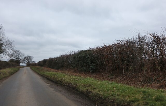
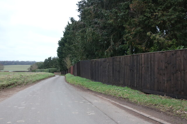
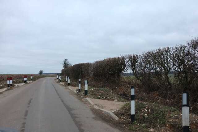
Brickkiln Wood is a picturesque woodland located in Hertfordshire, England. Covering an area of approximately 50 acres, it is a popular destination for nature enthusiasts and hikers alike. The wood is situated near the village of Aldbury and is part of the wider Ashridge Estate, managed by the National Trust.

The woodland is characterized by its diverse range of tree species, including towering oak, beech, and birch trees. These trees create a dense canopy, providing shade and shelter for the various flora and fauna that call Brickkiln Wood their home. The forest floor is carpeted with bluebells and wildflowers during spring, creating a vibrant and colorful display.

There are several walking trails that wind through the wood, offering visitors the opportunity to explore its natural beauty. These paths take visitors through tranquil glades, along babbling brooks, and up gentle slopes, providing stunning views of the surrounding countryside.

In addition to its natural beauty, Brickkiln Wood also holds historical significance. The wood was once part of the extensive Chiltern Forest and has been managed by the National Trust since the mid-20th century. It is believed that the name "Brickkiln" may refer to the presence of a brick kiln in the area during medieval times.

Overall, Brickkiln Wood is a captivating destination, offering a tranquil and immersive experience in the heart of Hertfordshire's countryside. Whether it is for a leisurely stroll, a picnic, or birdwatching, visitors are sure to be enchanted by the natural splendor of this idyllic woodland.

If you have any feedback on the listing, please let us know in the comments section below.

Brickkiln Wood Images

Images are sourced within 2km of 51.895521/-0.3589719 or Grid Reference TL1323. Thanks to Geograph Open Source API. All images are credited.

Wigmore Park Shopping Centre District shopping centre off Wigmore Lane.
Wigmore Park Shopping Centre
District shopping centre off Wigmore Lane.
Wigmore Park Shopping Centre District shopping centre off Wigmore Lane.
Wigmore Park Shopping Centre
District shopping centre off Wigmore Lane.
Raynham Way Looking across Wigmore Lane to houses in Raynham Way.
Raynham Way
Looking across Wigmore Lane to houses in Raynham Way.
Felton Close Cul-de-sac off Twyford Drive.
Felton Close
Cul-de-sac off Twyford Drive.
Asda Superstore off Wigmore Lane.
Asda
Superstore off Wigmore Lane.
Green in Cockernhoe
Green in Cockernhoe
Lilley Bottom Farm
Lilley Bottom Farm
Green by Luton Road, Cockernhoe
Chalk Hill, Cockernhoe
Old telegraph pole in Cockernhoe
Chalk Hill, Offley Chase Being by the Chilterns which are primarily made of chalk it is named for that feature.
Chalk Hill, Offley Chase
Being by the Chilterns which are primarily made of chalk it is named for that feature.
Chalk Hill, Cockernhoe These new mysterious kerbs may be for drainage as a new ditch has been dug where they lead to.
Chalk Hill, Cockernhoe
These new mysterious kerbs may be for drainage as a new ditch has been dug where they lead to.
University Campus  Luton - Putteridge Bury Being out of town this campus means that most students will have to rely on a motor car
University Campus Luton - Putteridge Bury
Being out of town this campus means that most students will have to rely on a motor car
Empty showrooms at Breachwood  Green Was this once a car sales emporium?
Yes it used to sell SAAB cars.
Empty showrooms at Breachwood Green
Was this once a car sales emporium? Yes it used to sell SAAB cars.
House next door to the showrooms House and showrooms <a title="https://www.geograph.org.uk/photo/47777" href="https://www.geograph.org.uk/photo/47777">Link</a> would seem to have a relationship of owner perhaps.
House next door to the showrooms
House and showrooms Link would seem to have a relationship of owner perhaps.
Buildings at Winch Hill Farm The farmyard appears unused
Buildings at Winch Hill Farm
The farmyard appears unused
Farm Machinery depot at Wandon End Parked cars means that there are people inside the buildings.
Farm Machinery depot at Wandon End
Parked cars means that there are people inside the buildings.
Farm Machinery depot at Wandon End The front loader scoops and the Cambridge roll further into the yard confirm that this is a depot for agricultural machinery.
Farm Machinery depot at Wandon End
The front loader scoops and the Cambridge roll further into the yard confirm that this is a depot for agricultural machinery.
Show me another place!

Brickkiln Wood is located at Grid Ref: TL1323 (Lat: 51.895521, Lng: -0.3589719)

Administrative County: Hertfordshire

District: North Hertfordshire

Police Authority: Hertfordshire

What 3 Words

///half.hours.mops. Near Luton, Bedfordshire

Related Wikis

Wigmore, Luton

Wigmore is a suburb of Luton about 2 miles (3.2 km) east north-east of the town centre, and a ward of the Borough of Luton, in the ceremonial county of...

Crawley Green

Crawley Green is a suburb of south-east Luton near to London Luton Airport, in the Borough of Luton, Bedfordshire, England. The area is roughly bounded...

Queen Elizabeth School, Luton

Queen Elizabeth School (formerly Ashcroft High School) is a coeducational secondary school located in the Crawley Green area of Luton in the English county...

Breachwood Green Mill, King's Walden

Breachwood Green Mill is a Grade II listed tower mill at King's Walden, Hertfordshire, England which has been converted to residential accommodation....

Vauxhall Park, Luton

Vauxhall Park is a suburb in east Luton, Bedfordshire, England. The area is roughly bounded by Crawley Green Road to the north, London Luton Airport to...
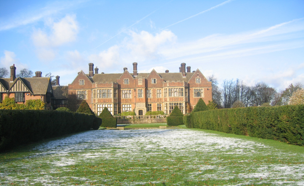
Putteridge Bury

Putteridge Bury is a country house on the edge of the built-up area of Luton, Bedfordshire, England but located just over the county boundary in the parish...

Putteridge

Putteridge is a suburb at the north-eastern edge of Luton, in Bedfordshire, England. Putteridge is a little over 2 miles (3.2 km) from Luton town centre...

Ramridge End

Ramridge End is a small suburb in the east of Luton, in Bedfordshire, England. The area is roughly bounded by Brays Road to the north, Someries Hill to...

Nearby Amenities

Located within 500m of 51.895521,-0.3589719
Bus Stop
Brickkiln Wood
Bench: no
Bin: no
Naptan AtcoCode: 210021100150
Naptan Bearing: E
Naptan BusStopType: CUS
Naptan CommonName: Brickkiln Wood
Naptan Crossing: opp Brickkiln Wood
Naptan Indicator: opp
Naptan Landmark: opp Brickkiln Wood
Naptan NaptanCode: hrtgmdjp
Naptan PlusbusZoneRef: LUTON
Naptan ShortCommonName: NA
Naptan Street: Brick Kiln Lane
Naptan Verified: no
Shelter: no
Source: naptan_import
Lat/Long: 51.8967312/-0.3567148
Bus Stop
Brickkiln Wood
Bench: no
Bin: no
Naptan AtcoCode: 210021107930
Naptan Bearing: W
Naptan BusStopType: CUS
Naptan CommonName: Brickkiln Wood
Naptan Crossing: Brickkiln Wood
Naptan Indicator: adj
Naptan Landmark: Brickkiln Wood
Naptan NaptanCode: hrtgjdpd
Naptan PlusbusZoneRef: LUTON
Naptan ShortCommonName: NA
Naptan Street: Brick Kiln Lane
Naptan Verified: no
Shelter: no
Source: naptan_import
Lat/Long: 51.8966949/-0.357365
Turning Circle
Lat/Long: 51.892042/-0.363286
The data included in this document is from www.openstreetmap.org. The data is made available under ODbL.

Have you been to Brickkiln Wood?

Leave your review of Brickkiln Wood below (or comments, questions and feedback).