Berrygrove
Wood, Forest in Hertfordshire Hertsmere
England
Berrygrove

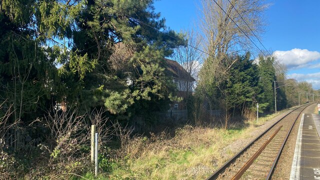
Berrygrove is a picturesque woodland area located in Hertfordshire, England. Nestled within the county's diverse landscape, this enchanting forest is renowned for its natural beauty and tranquil atmosphere. Covering an expansive area, Berrygrove is a haven for outdoor enthusiasts and nature lovers alike.
The forest is characterized by dense foliage, with a variety of tree species such as oak, beech, and ash dominating the landscape. These towering trees create a dense canopy, providing shade for the numerous walking trails that meander through the woodland. The forest floor is carpeted with a plethora of wildflowers, adding vibrant bursts of color to the surroundings.
Berrygrove is home to a diverse range of wildlife, including deer, foxes, rabbits, and an array of bird species. Birdwatchers flock to the area to catch a glimpse of the various feathered inhabitants, such as woodpeckers, owls, and thrushes. The forest also boasts a small lake, which attracts a variety of waterfowl, adding to the biodiversity of the area.
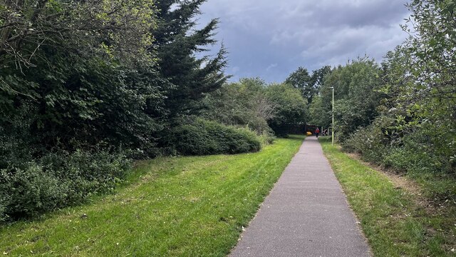
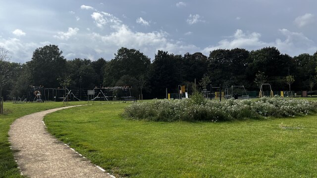
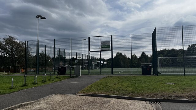
Visitors to Berrygrove can enjoy a multitude of outdoor activities. The forest is crisscrossed with well-maintained trails, providing opportunities for hiking, jogging, and cycling. There are also designated picnic areas and camping spots for those who wish to spend more time immersed in nature.
In addition to its natural splendor, Berrygrove is steeped in history. The forest has remnants of ancient earthworks and archaeological sites, showcasing its significance throughout the centuries. It is believed that Berrygrove was utilized by ancient settlers for hunting and gathering, with evidence of their existence still evident in the area.
Overall, Berrygrove in Hertfordshire offers a serene retreat from the hustle and bustle of modern life. With its stunning scenery, abundant wildlife, and rich history, it is a must-visit destination for those seeking a peaceful connection with nature.
If you have any feedback on the listing, please let us know in the comments section below.
Berrygrove Images
Images are sourced within 2km of 51.674561/-0.36908201 or Grid Reference TQ1298. Thanks to Geograph Open Source API. All images are credited.


Berrygrove is located at Grid Ref: TQ1298 (Lat: 51.674561, Lng: -0.36908201)
Administrative County: Hertfordshire
District: Hertsmere
Police Authority: Hertfordshire
What 3 Words
///table.gross.pines. Near Watford, Hertfordshire
Nearby Locations
Related Wikis

Aldenham
Aldenham is a village and civil parish in the borough of Hertsmere in Hertfordshire, England. The parish includes Radlett and Letchmore Heath as well as...

Wall Hall
Wall Hall, originally known as Aldenham Abbey, is a country house at Aldenham in Hertfordshire, England. The main house and several ancillary buildings...

Bushey Hall
Bushey Hall was a historic house built in 1428 for Thomas Montacute, 4th Earl of Salisbury. It was also the home of Sir John Marsham, 1st Baronet. By 1883...

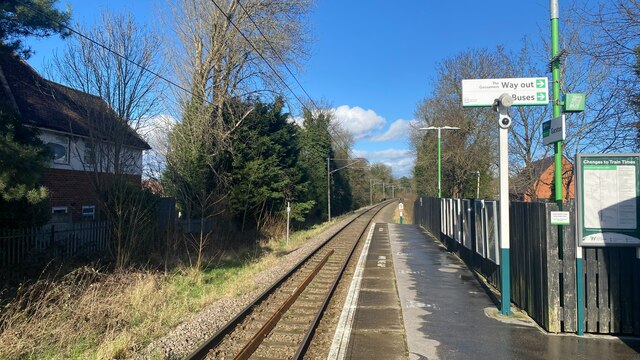
Watford North railway station
Watford North railway station is a National Rail station which serves the North Watford area in Hertfordshire, England in the United Kingdom. It is the...
Nearby Amenities
Located within 500m of 51.674561,-0.36908201Have you been to Berrygrove?
Leave your review of Berrygrove below (or comments, questions and feedback).