Berrygrove
Wood, Forest in Hertfordshire Hertsmere
England
Berrygrove

Berrygrove is a charming woodland area located in Hertfordshire, England. Nestled amidst the enchanting beauty of nature, it is predominantly known for its dense forest and abundant wildlife. The woodlands stretch over a vast expanse, providing a serene and tranquil environment for visitors and nature enthusiasts.
The area is characterized by a diverse range of tree species, including oak, beech, and pine. The towering trees create a picturesque canopy, casting dappled sunlight on the forest floor. Walking along the well-maintained trails, one can witness the ever-changing colors of the foliage, from vibrant greens in spring and summer to the rich hues of gold and red in autumn.
Berrygrove is home to a myriad of wildlife species, making it a haven for animal lovers and birdwatchers. Squirrels can be seen darting through the trees, while deer occasionally grace the woodland paths. The melodious songs of various bird species, such as thrushes and warblers, fill the air, adding to the enchantment of the surroundings.
In addition to its natural beauty, Berrygrove offers recreational opportunities for visitors. There are designated picnic areas and benches where one can relax and immerse themselves in the peaceful ambiance. The woodlands also provide an ideal setting for activities like hiking, jogging, and cycling, with well-marked trails catering to different levels of fitness.
Overall, Berrygrove is a captivating woodland area that showcases the raw beauty of nature in Hertfordshire. Its lush forests, diverse wildlife, and recreational amenities make it an ideal destination for nature lovers seeking solace and tranquility.
If you have any feedback on the listing, please let us know in the comments section below.
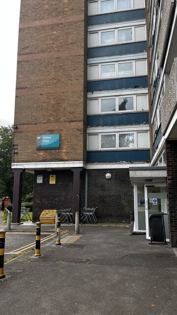
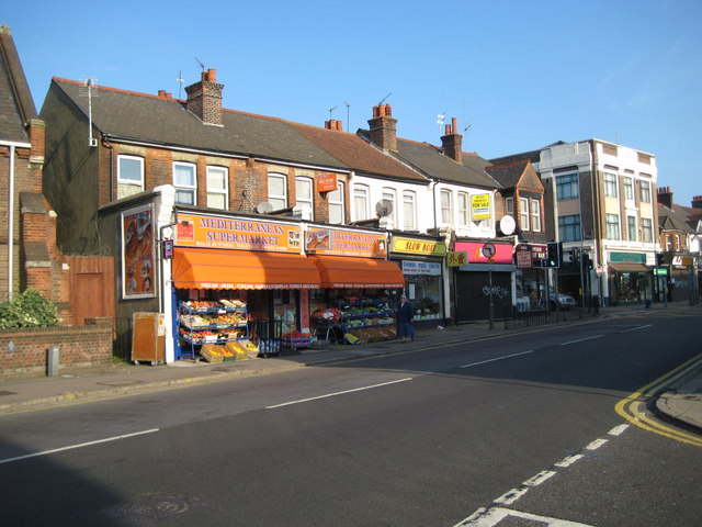
Berrygrove Images
Images are sourced within 2km of 51.672849/-0.37210824 or Grid Reference TQ1298. Thanks to Geograph Open Source API. All images are credited.


Berrygrove is located at Grid Ref: TQ1298 (Lat: 51.672849, Lng: -0.37210824)
Administrative County: Hertfordshire
District: Hertsmere
Police Authority: Hertfordshire
What 3 Words
///bets.rested.stores. Near Watford, Hertfordshire
Nearby Locations
Related Wikis

Bushey Hall
Bushey Hall was a historic house built in 1428 for Thomas Montacute, 4th Earl of Salisbury. It was also the home of Sir John Marsham, 1st Baronet. By 1883...

Aldenham
Aldenham is a village and civil parish in the borough of Hertsmere in Hertfordshire, England. The parish includes Radlett and Letchmore Heath as well as...
North Watford
North Watford is an area in the town of Watford, Hertfordshire, in the United Kingdom. It is now primarily a residential area which developed as a result...
The Watford UTC
The Watford UTC was a 14–19 University Technical College (UTC) in Watford, England that opened in September 2014. The UTC specialised in Event Management...

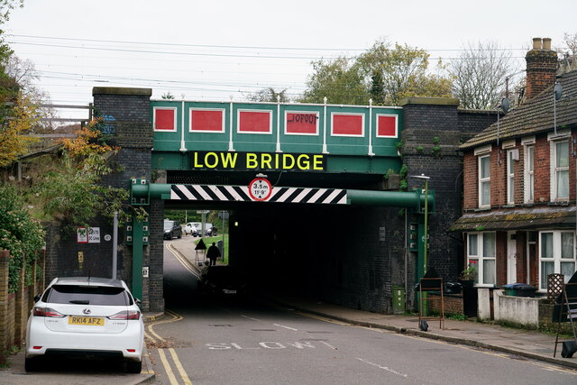
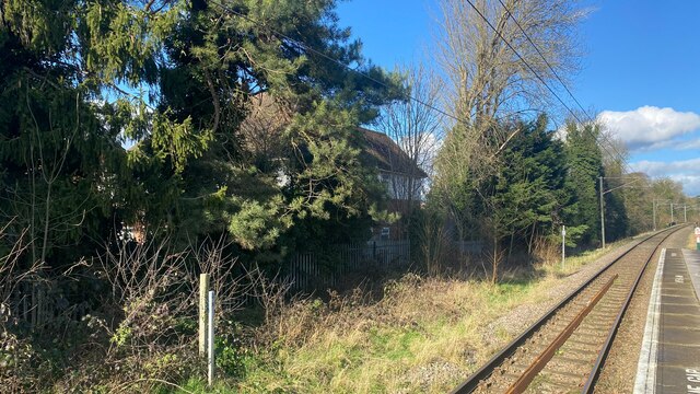
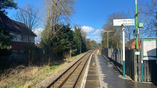
Watford North railway station
Watford North railway station is a National Rail station which serves the North Watford area in Hertfordshire, England in the United Kingdom. It is the...
Purcell School for Young Musicians
The Purcell School for Young Musicians is a specialist music school for children, located in the town of Bushey, south Hertfordshire, England, and is the...

Wall Hall
Wall Hall, originally known as Aldenham Abbey, is a country house at Aldenham in Hertfordshire, England. The main house and several ancillary buildings...
Queens' School
Queens' School, near Watford, Hertfordshire, is a partially selective secondary school and sixth form with academy status. It currently is a specialist...
Nearby Amenities
Located within 500m of 51.672849,-0.37210824Have you been to Berrygrove?
Leave your review of Berrygrove below (or comments, questions and feedback).