Townhouse Copse
Wood, Forest in Sussex Horsham
England
Townhouse Copse
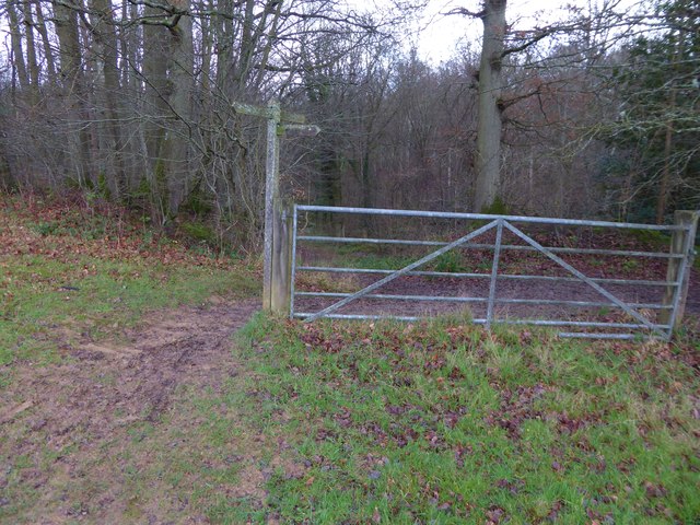
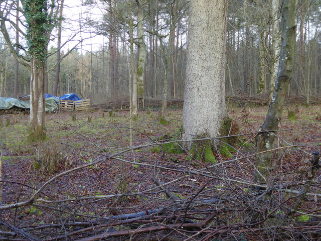
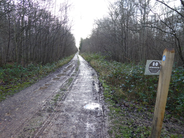
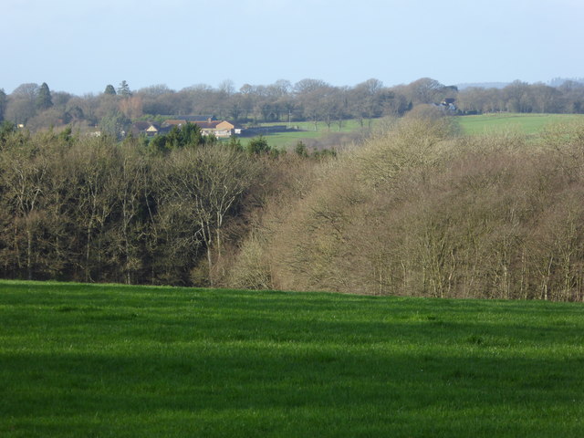
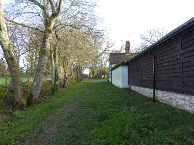
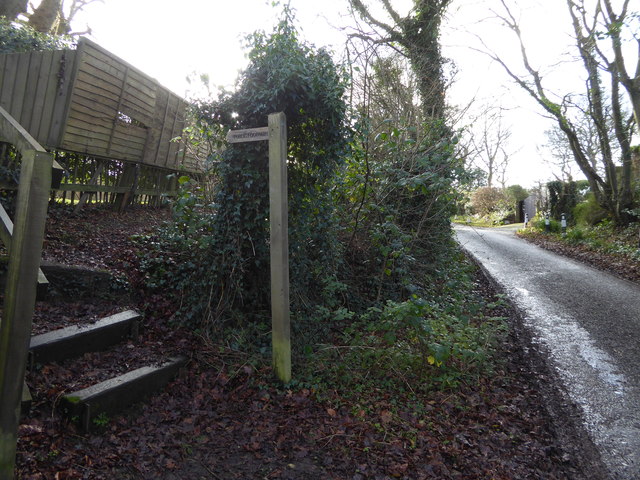
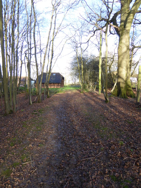
Townhouse Copse is a picturesque woodland located in Sussex, England. Nestled amidst the natural beauty of the region, this woodland is known for its enchanting charm and tranquil atmosphere. With its dense foliage and towering trees, it provides a haven for both wildlife and visitors alike.
The copse is primarily composed of deciduous trees, including oak, beech, and birch, which create a vibrant canopy during the spring and summer months. The forest floor is carpeted with a rich assortment of wildflowers, such as bluebells and primroses, adding to its allure.
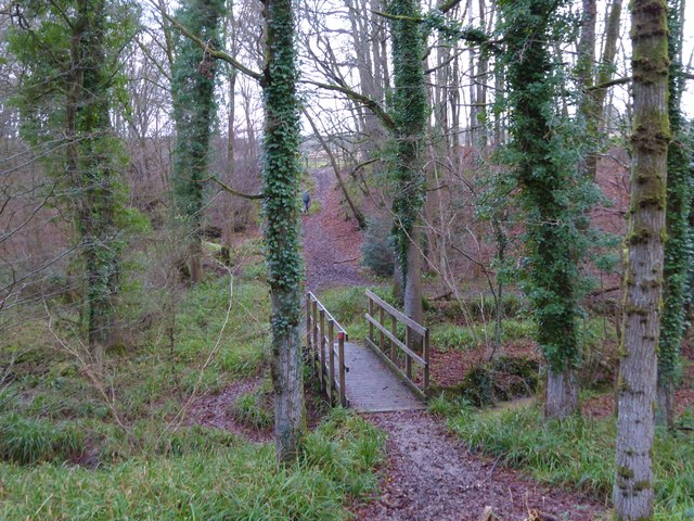
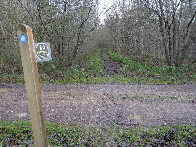
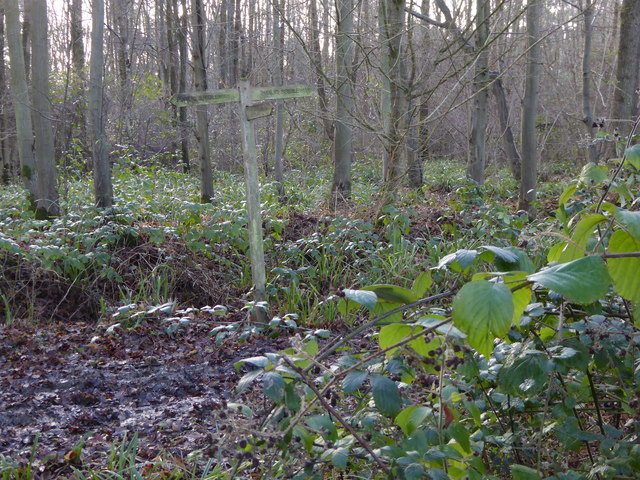
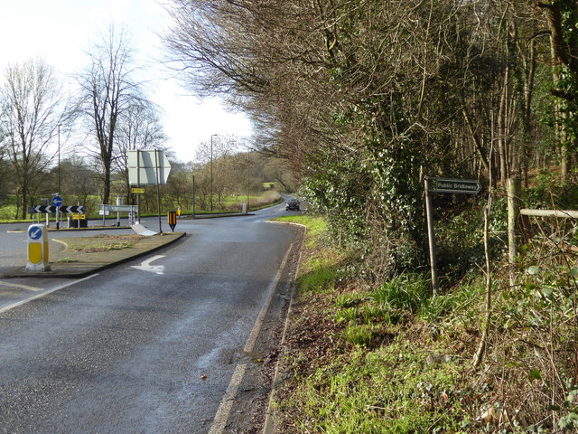
The woodland is a popular destination for nature enthusiasts, hikers, and photographers. A network of well-maintained trails winds through the copse, offering visitors the opportunity to explore its diverse flora and fauna. Along the way, one might encounter a variety of bird species, including woodpeckers and warblers, as well as small mammals like squirrels and rabbits.
Townhouse Copse is also home to a small stream that meanders through the woods, enhancing its natural beauty. The gentle babbling of the water adds a soothing element to the peaceful ambiance of the copse.
In addition to its ecological significance, the copse holds historical importance as well. It is believed to have been a site of ancient woodland, with some trees estimated to be several hundred years old. This connection to the past adds an extra layer of intrigue to the woodland, making it a must-visit destination for history enthusiasts as well.
Overall, Townhouse Copse in Sussex is a captivating woodland that offers a serene retreat from the hustle and bustle of daily life. Its natural beauty, diverse wildlife, and historical significance make it a truly enchanting place to explore and appreciate.
If you have any feedback on the listing, please let us know in the comments section below.
Townhouse Copse Images
Images are sourced within 2km of 51.08973/-0.39592117 or Grid Reference TQ1233. Thanks to Geograph Open Source API. All images are credited.


Townhouse Copse is located at Grid Ref: TQ1233 (Lat: 51.08973, Lng: -0.39592117)
Administrative County: West Sussex
District: Horsham
Police Authority: Sussex
What 3 Words
///eyeliner.frowns.auctioned. Near Slinfold, West Sussex
Nearby Locations
Related Wikis

Slinfold Stream and Quarry
Slinfold Stream and Quarry is a 2.3-hectare (5.7-acre) geological Site of Special Scientific Interest west of Horsham in West Sussex. It is a Geological...

Slinfold
Slinfold is a village and civil parish in the Horsham District of West Sussex, England. == Geography == The village is almost 4 miles (6.4 km) west of...

Field Place, Warnham
Field Place is a Grade I listed house in Warnham, West Sussex, England. It is the birthplace of the poet Percy Bysshe Shelley, born there in 1792. The...

High Weald AONB
The High Weald Area of Outstanding Natural Beauty is in south-east England. Covering an area of 1,450 square kilometres (560 sq mi), it takes up parts...

Slinfold railway station
Slinfold railway station was on the Cranleigh Line and served the village of Slinfold in West Sussex. == History == The line had a single track and opened...

Stane Street (Chichester)
Stane Street is the modern name of the 91 km-long (57 mi) Roman road in southern England that linked Londinium (London) to Noviomagus Reginorum (Chichester...

Broadbridge Heath
Broadbridge Heath is a village and civil parish in the Horsham district of West Sussex, England. It is about two miles (3 km) west from the historic centre...

Holy Trinity Church, Rudgwick
Holy Trinity Church is the Anglican parish church of Rudgwick, a village in the Horsham district of West Sussex, England. The oldest part of the church...
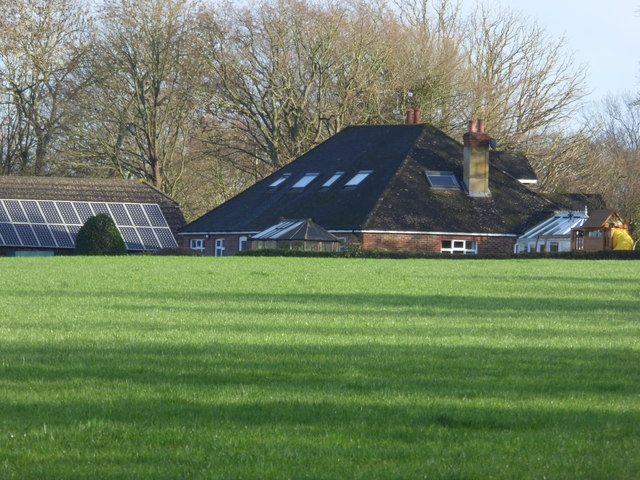
Nearby Amenities
Located within 500m of 51.08973,-0.39592117Have you been to Townhouse Copse?
Leave your review of Townhouse Copse below (or comments, questions and feedback).