Great Copse
Wood, Forest in Surrey Mole Valley
England
Great Copse

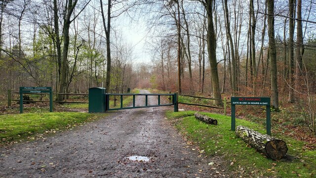
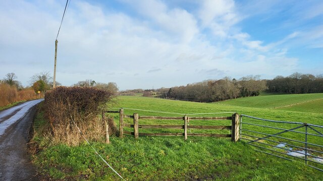
Great Copse is a picturesque woodland located in the county of Surrey, England. Covering an area of approximately 50 acres, it is an enchanting natural haven that has captivated visitors with its serene beauty for centuries. Situated near the village of Shere, Great Copse is easily accessible and attracts nature enthusiasts, hikers, and families alike.
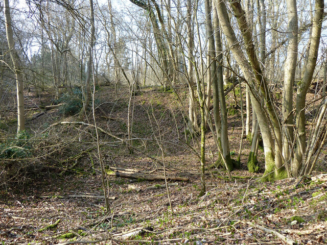
The woodland is predominantly composed of a mixture of deciduous and evergreen trees, creating a diverse and vibrant ecosystem. Towering oak, beech, and birch trees dominate the landscape, providing a dense canopy that filters the sunlight and creates a cool, shaded atmosphere below. These majestic trees are interspersed with smaller shrubs and ferns, adding to the rich tapestry of flora.
The forest floor is adorned with a carpet of wildflowers during the spring and summer months, including bluebells, primroses, and foxgloves. This burst of color attracts a plethora of wildlife, with the woodland being home to a variety of birds, butterflies, and small mammals.
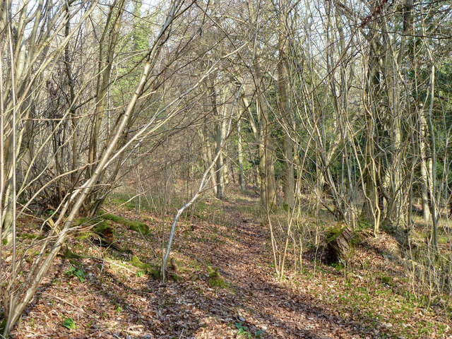
Great Copse also boasts a network of well-maintained footpaths and trails, allowing visitors to explore its enchanting beauty at their own pace. Whether it is a leisurely stroll or an adventurous hike, there are options for every level of fitness and interest.
The woodland provides a peaceful escape from the hustle and bustle of modern life, offering a tranquil setting for relaxation, meditation, or simply reconnecting with nature. Great Copse truly encompasses the essence of Surrey's natural beauty, making it a must-visit destination for anyone seeking solace in the great outdoors.
If you have any feedback on the listing, please let us know in the comments section below.
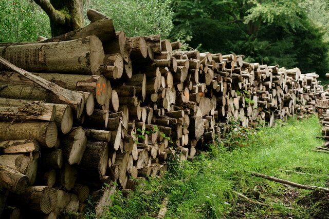
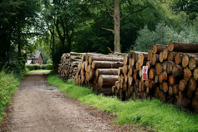
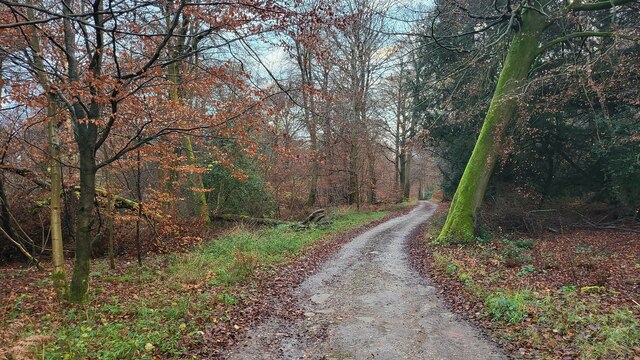
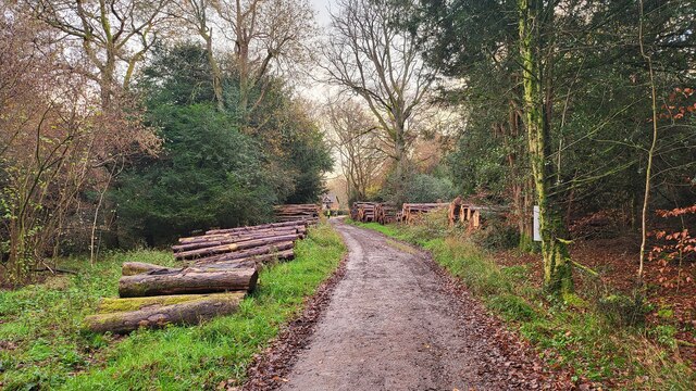
Great Copse Images
Images are sourced within 2km of 51.237385/-0.39087733 or Grid Reference TQ1249. Thanks to Geograph Open Source API. All images are credited.


Great Copse is located at Grid Ref: TQ1249 (Lat: 51.237385, Lng: -0.39087733)
Administrative County: Surrey
District: Mole Valley
Police Authority: Surrey
What 3 Words
///page.cliff.hoot. Near Westcott, Surrey
Nearby Locations
Related Wikis

Ranmore Common
Ranmore Common, also known as Ranmore Commons, is an area of wooded former common land on the North Downs, immediately northwest of Dorking in the English...
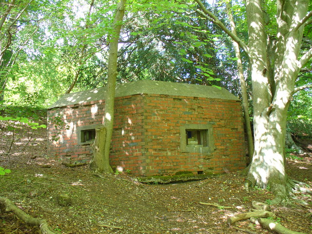
Outer London Defence Ring
The Outer London Defence Ring was a defensive ring built around London during the early part of the Second World War. It was intended as a defence against...

Hackhurst and White Downs
Hackhurst and White Downs is a 185.1-hectare (457-acre) biological Site of Special Scientific Interest west of Dorking in Surrey. White Downs is a Nature...
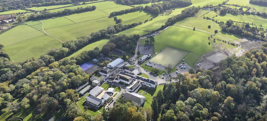
St Teresa's School Effingham
St Teresa's Effingham is a selective, independent boarding and day school for girls aged 2–18 in Effingham, Surrey, England, established in 1928. It is...

Wotton, Surrey
Wotton is a well-wooded parish with one main settlement, a small village mostly south of the A25 between Guildford in the west and Dorking in the east...
Ranmore Common SSSI
Ranmore Common SSSI is a 224.3-hectare (554-acre) biological Site of Special Scientific Interest in Ranmore Common, north-west of Dorking in Surrey.This...

Stockbroker Belt
The Stockbroker Belt is a loosely defined region overlapping the borders of the London metropolitan area and the commuter region surrounding Greater London...

List of local nature reserves in Surrey
Local nature reserves are designated by local authorities under the National Parks and Access to the Countryside Act 1949. The local authority must have...
Nearby Amenities
Located within 500m of 51.237385,-0.39087733Have you been to Great Copse?
Leave your review of Great Copse below (or comments, questions and feedback).