George Wood
Wood, Forest in Bedfordshire
England
George Wood

The requested URL returned error: 429 Too Many Requests
If you have any feedback on the listing, please let us know in the comments section below.
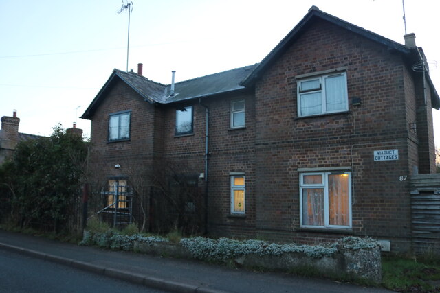
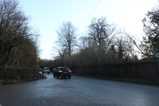
George Wood Images
Images are sourced within 2km of 51.862452/-0.37863427 or Grid Reference TL1119. Thanks to Geograph Open Source API. All images are credited.


George Wood is located at Grid Ref: TL1119 (Lat: 51.862452, Lng: -0.37863427)
Unitary Authority: Central Bedfordshire
Police Authority: Bedfordshire
What 3 Words
///lines.casual.reform. Near Luton, Bedfordshire
Nearby Locations
Related Wikis
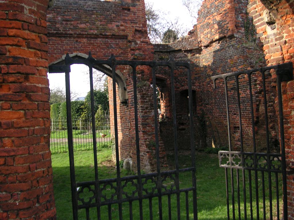
Someries Castle
Someries Castle (sometimes spelt Summeries castle) is a Scheduled Ancient Monument, in the Parish of Hyde, near the town of Luton, Bedfordshire, England...

New Mill End
New Mill End is a hamlet located in Bedfordshire, England, close to county border with Hertfordshire. It is in the civil parish of Hyde, Bedfordshire New...

Luton Hoo railway station
Luton Hoo railway station was built by the Hertford, Luton & Dunstable Railway on the branch line between Hatfield and Dunstable. It opened in 1860 and...

Chiltern Green railway station
Chiltern Green railway station was built by the Midland Railway in 1868 on its extension to St. Pancras. The station was located in New Mill End but took...
Nearby Amenities
Located within 500m of 51.862452,-0.37863427Have you been to George Wood?
Leave your review of George Wood below (or comments, questions and feedback).