Big Covert
Wood, Forest in Huntingdonshire Huntingdonshire
England
Big Covert
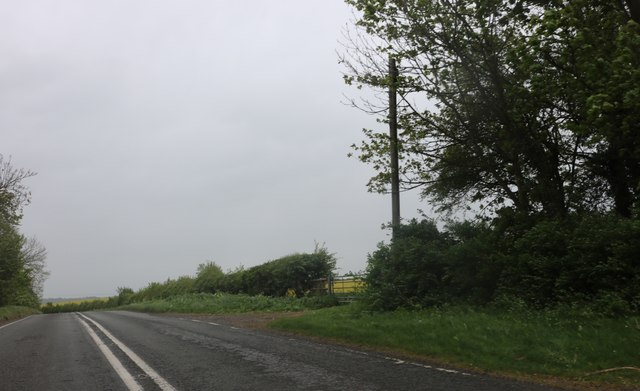
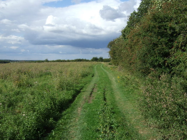
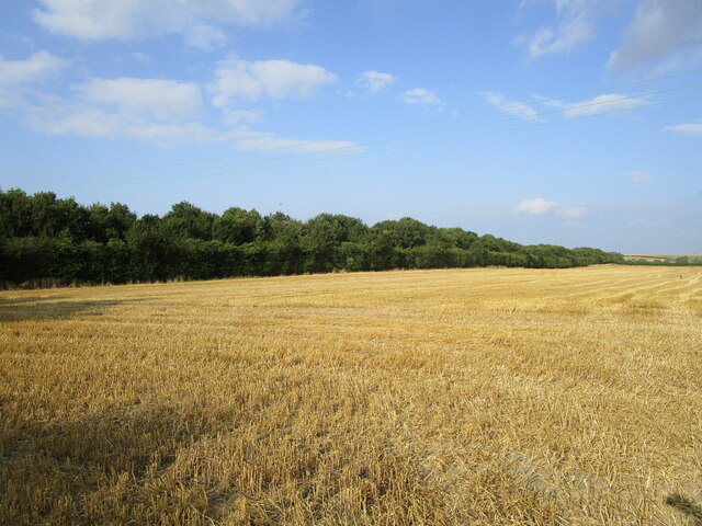
Big Covert is a sprawling woodland area located in the district of Huntingdonshire, England. Covering a vast expanse of land, it is renowned for its dense and diverse forest, making it a popular destination for nature enthusiasts and outdoor adventurers alike.
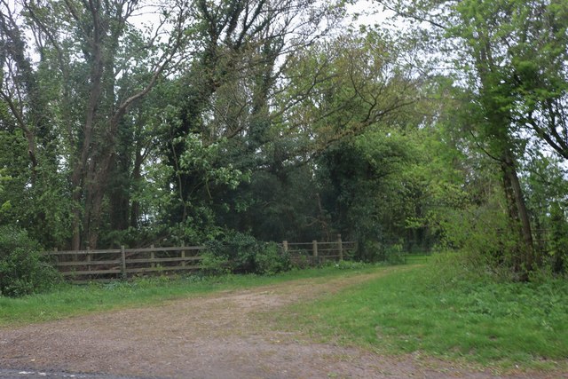
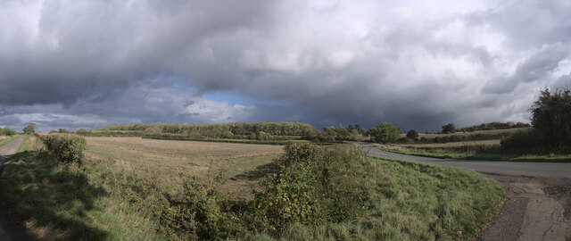
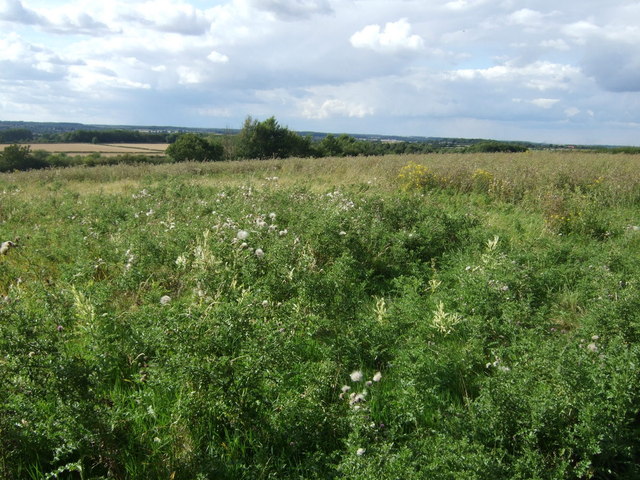
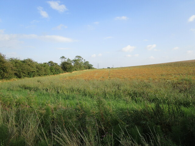
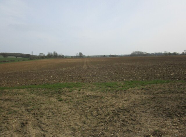
The woodland is characterized by its towering trees, with a mixture of deciduous and coniferous species creating a unique and picturesque landscape. Big Covert boasts a rich biodiversity, providing a habitat for a wide array of flora and fauna. The forest floor is carpeted with a variety of wildflowers, ferns, and mosses, adding to the enchanting beauty of the area.
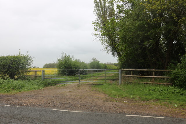
The woodland is crisscrossed by a network of well-maintained trails, making it ideal for hiking, walking, and cycling. These paths offer visitors the opportunity to explore the depths of the forest, immersing themselves in the serene and tranquil ambiance. The diverse terrain of Big Covert provides a range of experiences, from gentle strolls to more challenging treks for the adventurous.
Birdwatchers are particularly drawn to Big Covert, as it is home to a multitude of avian species. The woodland provides an ideal nesting ground for various birds, including woodpeckers, owls, and a variety of songbirds. With a keen eye and patience, visitors can catch glimpses of these beautiful creatures in their natural habitat.
Big Covert is a sanctuary for wildlife, with deer, foxes, and rabbits among the many animals that call it home. Conservation efforts have been implemented to ensure the preservation of this natural haven, making it an important protected area in Huntingdonshire.
Overall, Big Covert offers a captivating and immersive experience for nature lovers, providing a chance to connect with the beauty and tranquility of the natural world.
If you have any feedback on the listing, please let us know in the comments section below.
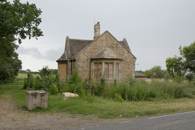
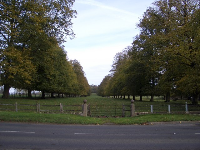
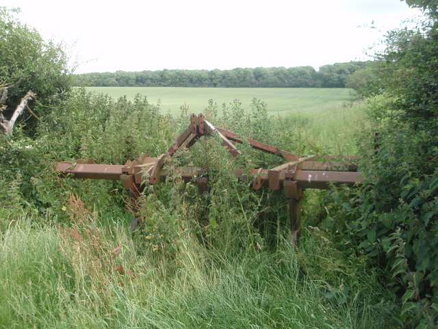
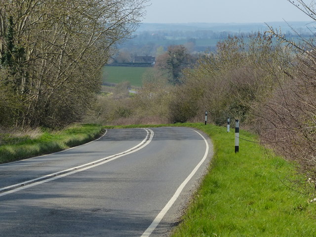
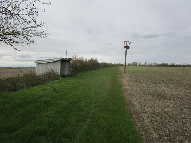
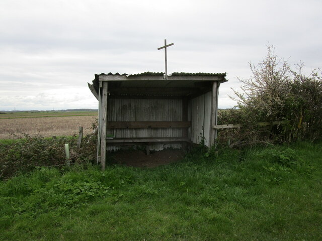
Big Covert Images
Images are sourced within 2km of 52.530837/-0.35835949 or Grid Reference TL1193. Thanks to Geograph Open Source API. All images are credited.
Big Covert is located at Grid Ref: TL1193 (Lat: 52.530837, Lng: -0.35835949)
Administrative County: Cambridgeshire
District: Huntingdonshire
Police Authority: Cambridgeshire
What 3 Words
///facelift.thumb.resurgent. Near Castor, Cambridgeshire
Nearby Locations
Related Wikis

Chesterton, Huntingdonshire
Chesterton is a small village and civil parish of exactly 56 households in Cambridgeshire, England. The village lies approximately 5 miles (8 km) west...

A605 road
The A605 road is a main road in the English counties of Northamptonshire and Cambridgeshire. == Route (west to east) == The A605 strikes north from junction...
RAF Sibson
Royal Air Force Sibson or more simply RAF Sibson is a former Royal Air Force satellite station located in Sibson, Cambridgeshire, England, west of Peterborough...

Peterborough transmitting station
The Peterborough transmitting station is a broadcasting and telecommunications facility at Morborne Hill, near Peterborough, England (grid reference TL127913...
Nearby Amenities
Located within 500m of 52.530837,-0.35835949Have you been to Big Covert?
Leave your review of Big Covert below (or comments, questions and feedback).