Keeper's Plantation
Wood, Forest in Sussex Arun
England
Keeper's Plantation
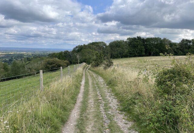
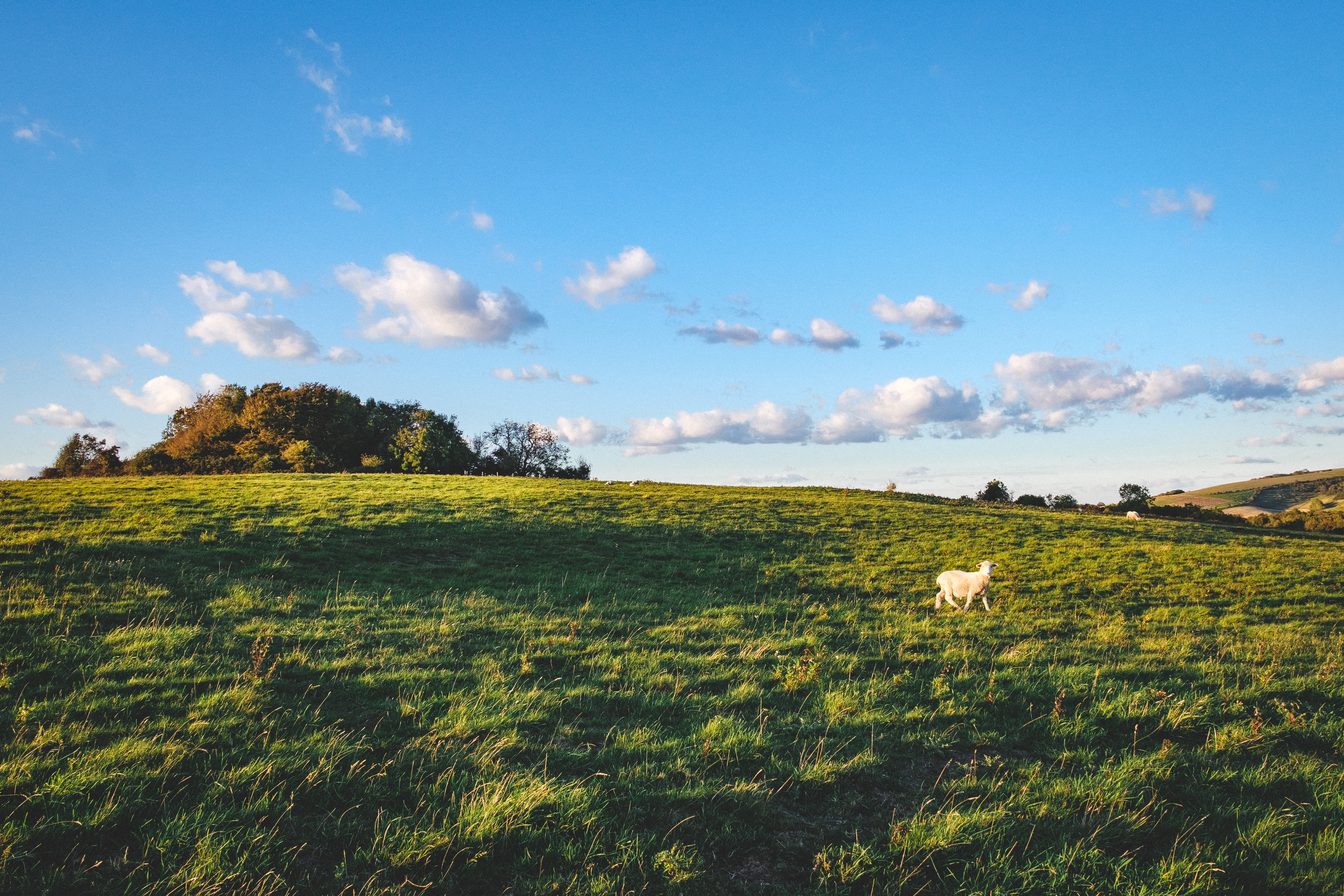
Keeper's Plantation is a picturesque woodland located in Sussex, England. Covering an area of approximately 200 acres, it is a part of the vast forested landscape in the region. The plantation is nestled within the undulating terrain of Sussex, surrounded by rolling hills and meandering streams, offering visitors a tranquil and serene environment.
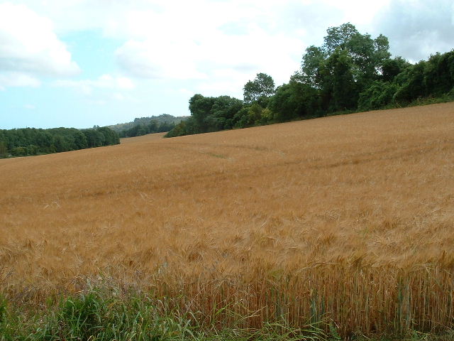
The plantation is predominantly composed of a variety of tree species, including oak, beech, birch, and pine. These trees create a dense canopy, providing shade and creating a perfect habitat for numerous bird species, small mammals, and insects. The diverse flora and fauna found within the plantation make it a popular destination among nature enthusiasts and birdwatchers.
Visitors to Keeper's Plantation can explore the network of well-maintained walking trails that wind through the woodland. These trails offer stunning views of the surrounding countryside and provide an opportunity to immerse oneself in the natural beauty of the area. The plantation also features a small picnic area, allowing visitors to relax and enjoy the peaceful atmosphere.
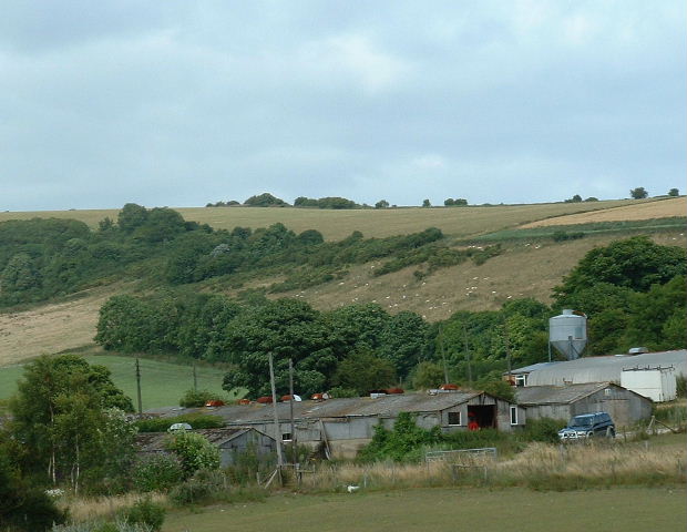
Additionally, Keeper's Plantation is managed by local authorities, ensuring the preservation and maintenance of the woodland. Regular conservation efforts take place to protect the delicate ecosystem and promote the growth of native plant species.
Overall, Keeper's Plantation in Sussex is a haven for nature lovers, providing a beautiful setting to connect with nature and enjoy the tranquility of the woodlands.
If you have any feedback on the listing, please let us know in the comments section below.
Keeper's Plantation Images
Images are sourced within 2km of 50.877885/-0.41715012 or Grid Reference TQ1109. Thanks to Geograph Open Source API. All images are credited.
![View west across Nepcote Green The building on the left is the Wattle House. It dates from the end of the 1700s when it was used to store wattle hurdles for the sheep pens used during the annual sheep fair. [<span class="nowrap"><a title="https://fancyfreewalks.org/W.Sussex/Findon.pdf" rel="nofollow ugc noopener" href="https://fancyfreewalks.org/W.Sussex/Findon.pdf">Link</a><img style="margin-left:2px;" alt="External link" title="External link - shift click to open in new window" src="https://s1.geograph.org.uk/img/external.png" width="10" height="10"/></span>]](https://s3.geograph.org.uk/geophotos/07/64/87/7648795_e513f30a.jpg)


Keeper's Plantation is located at Grid Ref: TQ1109 (Lat: 50.877885, Lng: -0.41715012)
Administrative County: West Sussex
District: Arun
Police Authority: Sussex
What 3 Words
///kilts.lyricism.general. Near Findon, West Sussex
Nearby Locations
Related Wikis
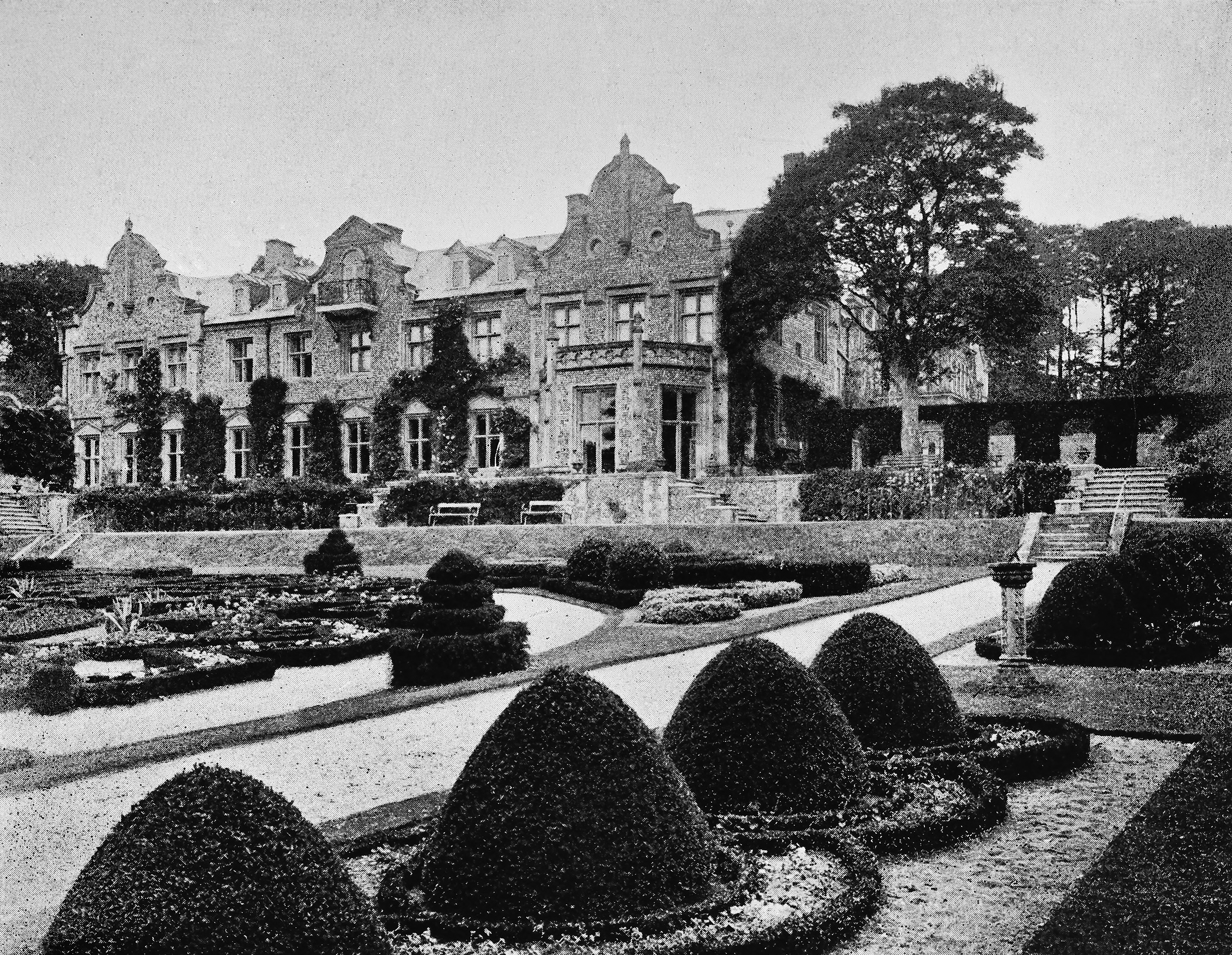
Muntham Court
Muntham Court was a country house and estate near a village of Findon, West Sussex, England. In the 1800s the estate covered 1,890 acres (760 ha). Following...
Muntham Court Romano-British site
The Muntham Court Romano-British site is an archeological site situated on the western edge of the village of Findon in West Sussex. It is a Scheduled...

Findon, West Sussex
Findon is a semi-rural clustered village and civil parish in the Arun District of West Sussex, England, 4 miles (6.4 km) north of Worthing. == Governance... ==

Windlesham House School
Windlesham House School is an independent boarding and day school for boys and girls aged 4 to 13 on the South Downs, in Pulborough, West Sussex, England...

Church Hill, West Sussex
Church Hill is an archaeological site, of the Neolithic and Bronze Age periods, in West Sussex, England. It is on the South Downs near the village of Findon...
Blackpatch
Blackpatch is an archaeological site in West Sussex, England, about 2 miles (3.2 km) west of the village of Findon and about 3 miles (4.8 km) north-west...

Washington, West Sussex
Washington is a village and civil parish in the Horsham District of West Sussex, England. It is located five miles (eight kilometres) west of Steyning...

Findon Valley
Findon Valley is a neighbourhood of Worthing, in the borough of Worthing in West Sussex, England. It lies on the A24 road 2.9 miles (4.7 km) north of the...
Nearby Amenities
Located within 500m of 50.877885,-0.41715012Have you been to Keeper's Plantation?
Leave your review of Keeper's Plantation below (or comments, questions and feedback).