Eggington
Settlement in Bedfordshire
England
Eggington
Eggington is a small village located in the county of Bedfordshire, England. Situated about five miles south of the town of Leighton Buzzard, it is a peaceful and picturesque rural area with a population of around 300 inhabitants.
The village is known for its charming historical character, with many traditional stone houses and buildings dating back several centuries. The architecture reflects the village's rich history, and visitors can enjoy exploring the narrow lanes and admiring the well-preserved structures.
Eggington is surrounded by beautiful countryside, offering stunning views and ample opportunities for outdoor activities. The nearby Dunstable Downs, part of the Chiltern Hills, provide fantastic hiking and walking trails where visitors can take in the panoramic vistas of the surrounding landscape.
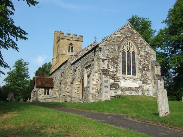
The village has a close-knit community and a strong sense of local pride. It boasts a village hall which serves as a hub for various community events and gatherings throughout the year. Additionally, Eggington is home to a charming old church, St. Michael and All Angels, which adds to the village's historic charm.
While Eggington is primarily residential, there are a few local businesses and amenities available to residents and visitors. These include a local pub, offering a cozy atmosphere and traditional British fare. However, for more extensive amenities and services, residents often rely on the nearby towns of Leighton Buzzard or Dunstable.
Overall, Eggington is a delightful village with a rich history and a tranquil atmosphere, making it an ideal destination for those seeking a peaceful retreat in the beautiful Bedfordshire countryside.
If you have any feedback on the listing, please let us know in the comments section below.
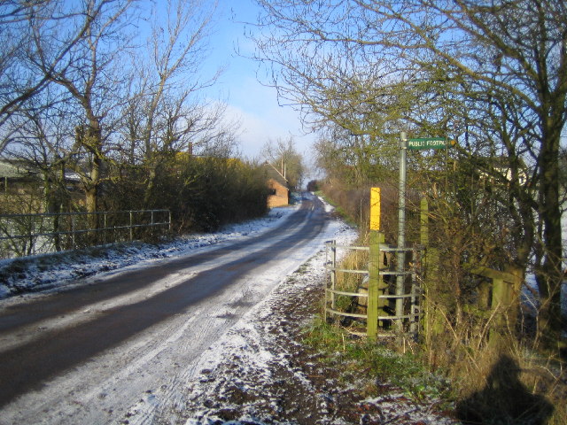
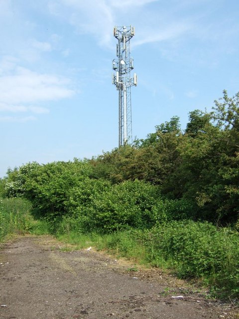
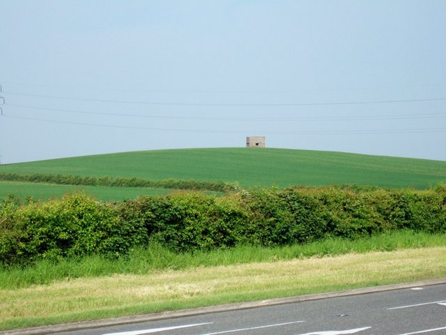
Eggington Images
Images are sourced within 2km of 51.917056/-0.609548 or Grid Reference SP9525. Thanks to Geograph Open Source API. All images are credited.


Eggington is located at Grid Ref: SP9525 (Lat: 51.917056, Lng: -0.609548)
Unitary Authority: Central Bedfordshire
Police Authority: Bedfordshire
What 3 Words
///ensemble.cyclones.cashew. Near Stanbridge, Bedfordshire
Related Wikis
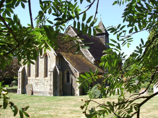
Eggington
Egginton – or Eggington as it is now known – is a village and civil parish in the Central Bedfordshire district of Bedfordshire, England, about three miles...
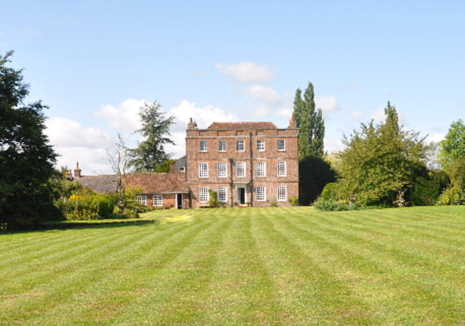
Eggington House
Eggington House is the manor house of the village of Eggington situated near Leighton Buzzard, Bedfordshire, England. The house is regarded as a very...
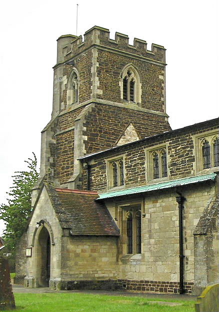
Stanbridge, Bedfordshire
Stanbridge is a village and civil parish in Bedfordshire which lies 3 miles (5 km) east of Leighton Buzzard. It also borders the Bedfordshire villages...
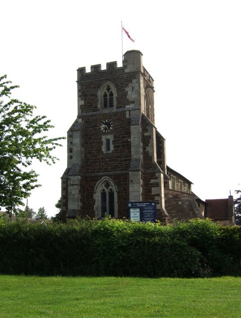
Church of St John the Baptist, Stanbridge, Bedfordshire
Church of St John the Baptist is a Grade I listed church in Stanbridge, Bedfordshire, England. It became a listed building on 3 February 1967. == See... ==
Nearby Amenities
Located within 500m of 51.917056,-0.609548Have you been to Eggington?
Leave your review of Eggington below (or comments, questions and feedback).