Great Copse

Wood, Forest in Sussex Horsham

England

Great Copse

Downs Link, near Slinfold A view of the Downs Link path as it approaches Slinfold in West Sussex.  The path follows a dismantled railway line.  It also forms part of route 223 of the National Cycle Network.

Here, a public footpath crosses the Downs Link path.
Downs Link, near Slinfold Credit: Malc McDonald

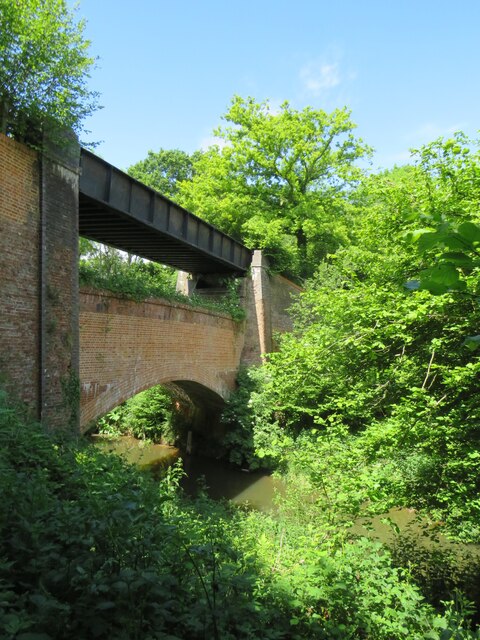
Great Copse is a picturesque woodland located in the county of Sussex, England. Spanning over a vast area, the copse is surrounded by rolling hills and meadows, creating a serene and idyllic atmosphere. The copse predominantly consists of a mix of deciduous and evergreen trees, including oak, beech, birch, and pine, which provide a rich tapestry of colors throughout the changing seasons.

The forest floor of Great Copse is adorned with a carpet of wildflowers, adding to its natural beauty. Bluebells, primroses, and foxgloves are just a few examples of the flora that bloom in abundance, attracting a diverse range of wildlife. The copse is home to several species of birds, including woodpeckers, owls, and thrushes, which can be heard singing melodiously amongst the treetops.

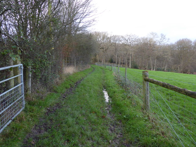
For nature lovers and outdoor enthusiasts, Great Copse offers various hiking trails and walking paths that wind through the woodland, allowing visitors to explore its hidden treasures. The trails are well-maintained and offer stunning panoramic views of the surrounding countryside. Additionally, the copse features picnic areas and designated spots for camping, providing opportunities for visitors to immerse themselves in the tranquility of the natural surroundings.

Great Copse holds historical significance as well, with traces of ancient settlements and archaeological remains scattered throughout the woodland. These remnants serve as a testament to the copse's rich heritage and cultural importance.

Overall, Great Copse in Sussex is a haven of natural beauty, offering a peaceful retreat for those seeking solace in the embrace of nature. Its diverse flora and fauna, combined with its breathtaking landscapes, make it a must-visit destination for nature enthusiasts and history buffs alike.

If you have any feedback on the listing, please let us know in the comments section below.
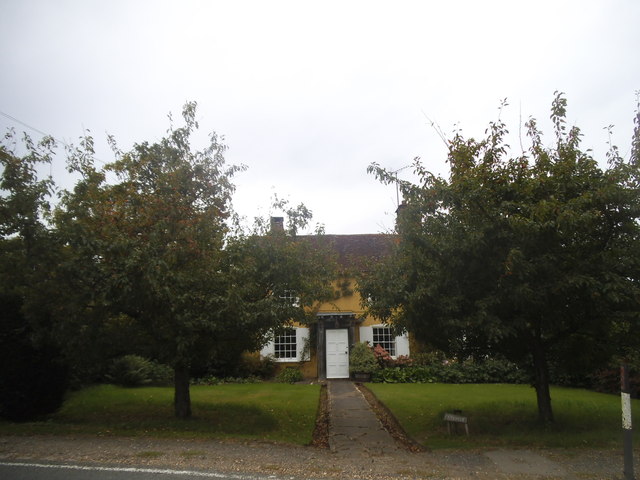
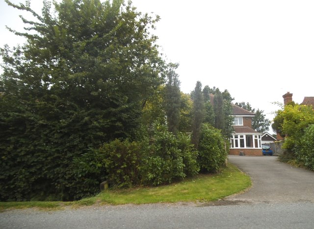
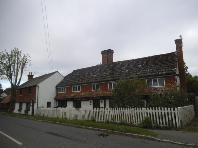
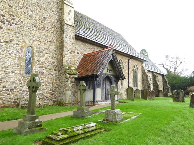
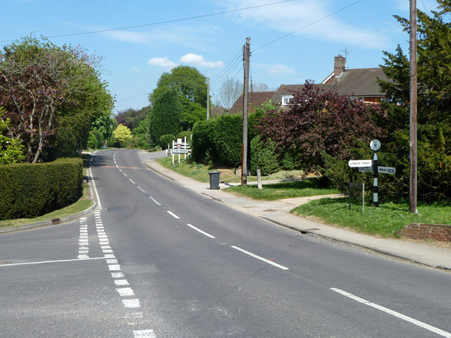
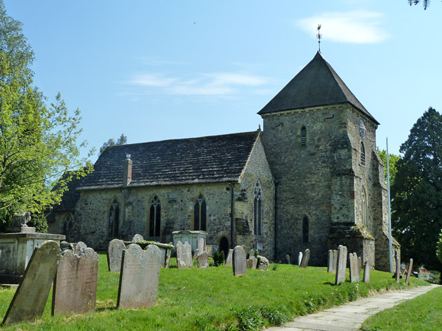
Great Copse Images

Images are sourced within 2km of 51.092224/-0.41786934 or Grid Reference TQ1033. Thanks to Geograph Open Source API. All images are credited.

Downs Link, near Slinfold A view of the Downs Link path as it approaches Slinfold in West Sussex.  The path follows a dismantled railway line.  It also forms part of route 223 of the National Cycle Network.

Here, a public footpath crosses the Downs Link path.
Downs Link, near Slinfold
A view of the Downs Link path as it approaches Slinfold in West Sussex. The path follows a dismantled railway line. It also forms part of route 223 of the National Cycle Network. Here, a public footpath crosses the Downs Link path.
Double bridge near Rudgwick, West Sussex The double bridge which crosses the River Arun near Rudgwick is unique in Britain, in having both a brick arch and an iron girder.

The brick arch was built to carry a railway line across the river.  However, on the far side of the river, the railway would then climb a steep gradient into Rudgwick station.  Inspectors from the government's Board of Trade refused permission for the railway to open, as they felt the gradient up to Rudgwick station was too steep.  The railway compamny therefore had to rebuild this section of the route with higher embankments, so that the gradient into Rudgwick was less steep.  As the railway had been raised to a higher level at this location, the iron girder bridge was installed to carry it across the river.  The brick arch has never been used for its intended purpose.

The railway opened in 1865 but closed a century later.  The railway route now forms part of the Downs Link long distance path, which itself forms part of route 223 of the National Cycle Network.
Double bridge near Rudgwick, West Sussex
The double bridge which crosses the River Arun near Rudgwick is unique in Britain, in having both a brick arch and an iron girder. The brick arch was built to carry a railway line across the river. However, on the far side of the river, the railway would then climb a steep gradient into Rudgwick station. Inspectors from the government's Board of Trade refused permission for the railway to open, as they felt the gradient up to Rudgwick station was too steep. The railway compamny therefore had to rebuild this section of the route with higher embankments, so that the gradient into Rudgwick was less steep. As the railway had been raised to a higher level at this location, the iron girder bridge was installed to carry it across the river. The brick arch has never been used for its intended purpose. The railway opened in 1865 but closed a century later. The railway route now forms part of the Downs Link long distance path, which itself forms part of route 223 of the National Cycle Network.
Entering West Sussex on Church Street, Cox Green
Church Street from the junction of Lynwick Street
Entering Rudgwick on Church Street
Cottage on Church Street, Cox Green
House entrance on Church Street, Rudgwick
Cottages on Church Street, Rudgwick
Gateway and buildings at Pensfold Farm
Dwellings at Pensfold Farm See also <a title="https://www.geograph.org.uk/photo/1984971" href="https://www.geograph.org.uk/photo/1984971">Link</a> from 2010.
Dwellings at Pensfold Farm
See also Link from 2010.
Window in Rudgwick church
Church porch at Rudgwick
Footpath to Rudgwick's church
Enclosed path to woodland west of Hyes
Rudgwick Chapel
Rudgwick Chapel
Footpath towards Church Street, Rudgwick This is used by the Sussex Border Path long distance route. The actual border with Surrey is not far behind the camera, closely skirting round Rudgwick, West Sussex.
Footpath towards Church Street, Rudgwick
This is used by the Sussex Border Path long distance route. The actual border with Surrey is not far behind the camera, closely skirting round Rudgwick, West Sussex.
B2128, Church Street, Rudgwick Rudgwick is in West Sussex. Formerly Cox Green, whose sign may be seen ahead, was in Surrey. Housing development caused it to become merely an extension of Rudgwick, so the border was changed to include it in West Sussex as well.
B2128, Church Street, Rudgwick
Rudgwick is in West Sussex. Formerly Cox Green, whose sign may be seen ahead, was in Surrey. Housing development caused it to become merely an extension of Rudgwick, so the border was changed to include it in West Sussex as well.
Rudgwick church Holy Trinity Church is a grade I listed building, mostly 14th century.
Rudgwick church
Holy Trinity Church is a grade I listed building, mostly 14th century.
Show me another place!

Great Copse is located at Grid Ref: TQ1033 (Lat: 51.092224, Lng: -0.41786934)

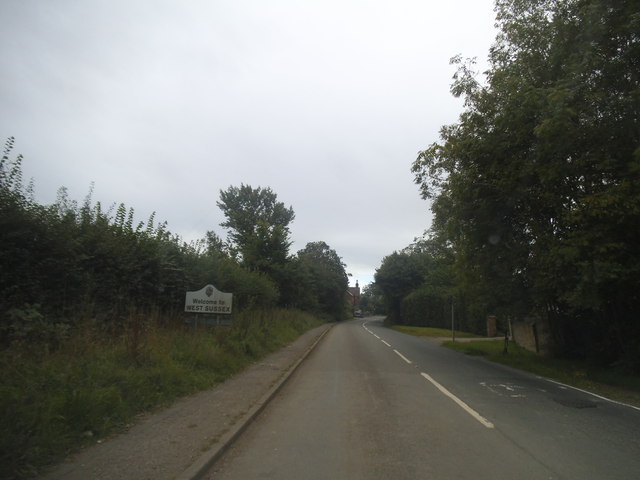
Administrative County: West Sussex

District: Horsham

Police Authority: Sussex

What 3 Words

///wriggle.claw.mixing. Near Slinfold, West Sussex

Related Wikis

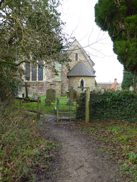
Holy Trinity Church, Rudgwick

Holy Trinity Church is the Anglican parish church of Rudgwick, a village in the Horsham district of West Sussex, England. The oldest part of the church...

Rudgwick

Rudgwick is a village and civil parish in the Horsham District of West Sussex, England. The village is 6 miles (10 km) west from Horsham on the north...

High Weald AONB

The High Weald Area of Outstanding Natural Beauty is in south-east England. Covering an area of 1,450 square kilometres (560 sq mi), it takes up parts...

Rudgwick railway station

Rudgwick railway station was on the Cranleigh Line. It served the village of Rudgwick in West Sussex until June, 1965. == History == Rudgwick station opened...

Slinfold Stream and Quarry

Slinfold Stream and Quarry is a 2.3-hectare (5.7-acre) geological Site of Special Scientific Interest west of Horsham in West Sussex. It is a Geological...

Slinfold

Slinfold is a village and civil parish in the Horsham District of West Sussex, England. == Geography == The village is almost 4 miles (6.4 km) west of...

Slinfold railway station

Slinfold railway station was on the Cranleigh Line and served the village of Slinfold in West Sussex. == History == The line had a single track and opened...

Stane Street (Chichester)

Stane Street is the modern name of the 91 km-long (57 mi) Roman road in southern England that linked Londinium (London) to Noviomagus Reginorum (Chichester...

Nearby Amenities

Located within 500m of 51.092224,-0.41786934
Furnace House
Place: isolated_dwelling
Lat/Long: 51.0883766/-0.4206838
Furnace Lakes
Leisure: fishing
Lat/Long: 51.0887636/-0.4214859
The data included in this document is from www.openstreetmap.org. The data is made available under ODbL.

Have you been to Great Copse?

Leave your review of Great Copse below (or comments, questions and feedback).