Furnacehouse Copse
Wood, Forest in Sussex Horsham
England
Furnacehouse Copse

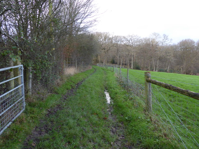
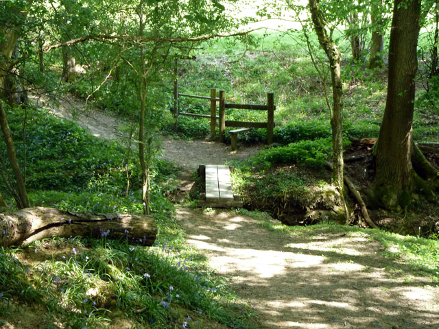
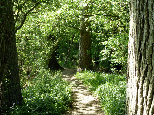
Furnacehouse Copse is a picturesque woodland located in Sussex, England. This dense forest covers an area of approximately 100 acres and is a popular destination for nature enthusiasts and hikers alike.
The copse is characterized by its diverse range of tree species, including oak, beech, and ash, which create a lush and vibrant green canopy during the summer months. The forest floor is covered with a rich carpet of wildflowers, ferns, and moss, providing a habitat for a variety of small mammals, birds, and insects.
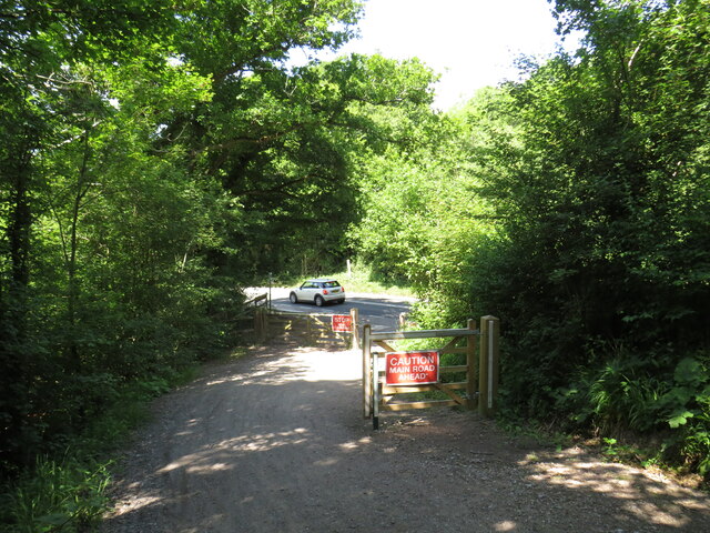
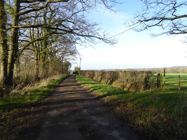
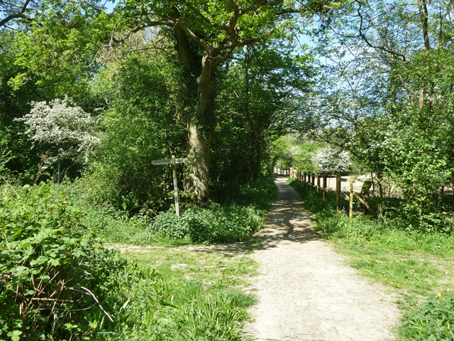
Trails wind their way through the copse, allowing visitors to explore its beauty and tranquility. These paths are well-maintained and suitable for all ages and fitness levels. Along the way, hikers may come across hidden clearings, where they can rest and observe the local wildlife or simply enjoy the peaceful surroundings.
One of the highlights of Furnacehouse Copse is its ancient furnace, which gives the woodland its name. This historic structure dates back to the 17th century and was once used for smelting iron. Today, it serves as a reminder of the area's industrial past and adds an intriguing element to the natural beauty of the copse.
Furnacehouse Copse is easily accessible by car, with a small parking area available nearby. Additionally, there are several picnic spots and benches scattered throughout the woodland, offering visitors the opportunity to relax and soak up the serenity of this enchanting forest.
Overall, Furnacehouse Copse is a captivating woodland that showcases the beauty of Sussex's natural landscape. Whether it is for a leisurely stroll, bird-watching, or simply a peaceful escape from the bustling city, this copse is a must-visit destination for nature lovers.
If you have any feedback on the listing, please let us know in the comments section below.
Furnacehouse Copse Images
Images are sourced within 2km of 51.089322/-0.41805404 or Grid Reference TQ1033. Thanks to Geograph Open Source API. All images are credited.


Furnacehouse Copse is located at Grid Ref: TQ1033 (Lat: 51.089322, Lng: -0.41805404)
Administrative County: West Sussex
District: Horsham
Police Authority: Sussex
What 3 Words
///cashier.adults.digestion. Near Slinfold, West Sussex
Nearby Locations
Related Wikis

Rudgwick
Rudgwick is a village and civil parish in the Horsham District of West Sussex, England. The village is 6 miles (10 km) west from Horsham on the north...

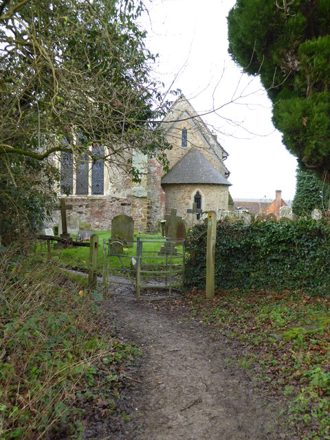
Holy Trinity Church, Rudgwick
Holy Trinity Church is the Anglican parish church of Rudgwick, a village in the Horsham district of West Sussex, England. The oldest part of the church...
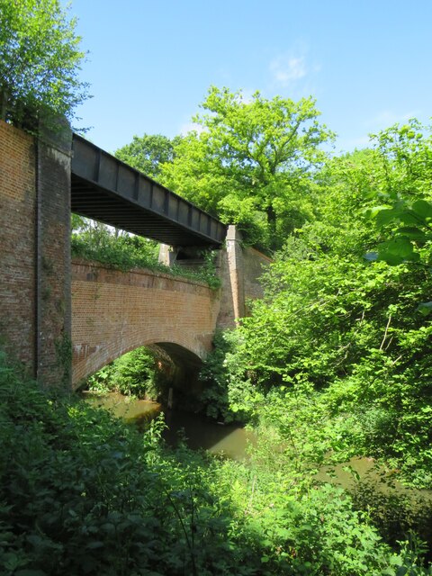
Rudgwick railway station
Rudgwick railway station was on the Cranleigh Line. It served the village of Rudgwick in West Sussex until June, 1965. == History == Rudgwick station opened...

Slinfold
Slinfold is a village and civil parish in the Horsham District of West Sussex, England. == Geography == The village is almost 4 miles (6.4 km) west of...

Slinfold Stream and Quarry
Slinfold Stream and Quarry is a 2.3-hectare (5.7-acre) geological Site of Special Scientific Interest west of Horsham in West Sussex. It is a Geological...

Slinfold railway station
Slinfold railway station was on the Cranleigh Line and served the village of Slinfold in West Sussex. == History == The line had a single track and opened...

High Weald AONB
The High Weald Area of Outstanding Natural Beauty is in south-east England. Covering an area of 1,450 square kilometres (560 sq mi), it takes up parts...

Stane Street (Chichester)
Stane Street is the modern name of the 91 km-long (57 mi) Roman road in southern England that linked Londinium (London) to Noviomagus Reginorum (Chichester...
Nearby Amenities
Located within 500m of 51.089322,-0.41805404Have you been to Furnacehouse Copse?
Leave your review of Furnacehouse Copse below (or comments, questions and feedback).