Burton Cliff Plantation
Wood, Forest in Lincolnshire North Kesteven
England
Burton Cliff Plantation
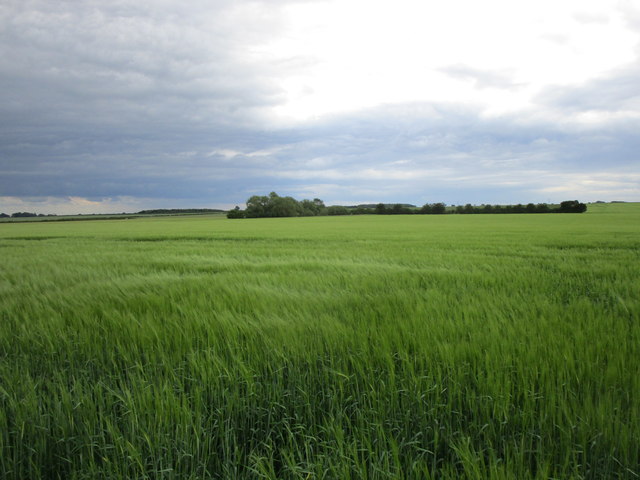
Burton Cliff Plantation is a picturesque woodland located in Lincolnshire, England. Situated near the village of Burton by Lincoln, this enchanting forest covers an area of approximately 100 acres. The plantation is known for its diverse range of native tree species, providing a haven for wildlife and a tranquil escape for visitors.
The woodland is predominantly composed of deciduous trees, including oak, birch, beech, and ash. These majestic trees create a dense canopy that filters sunlight, casting a soothing shade on the forest floor. The undergrowth is lush with ferns, wildflowers, and mosses, adding to the charm and beauty of the plantation.
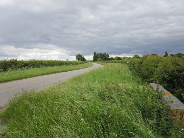
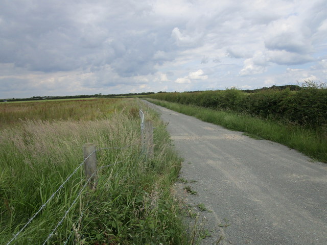
Burton Cliff Plantation boasts several well-maintained walking trails that meander through the woods, allowing visitors to explore the natural wonders at their own pace. These trails provide an opportunity for nature enthusiasts to observe a variety of birds, including woodpeckers, owls, and songbirds. Squirrels, rabbits, and deer can also be spotted in the area, adding to the rich biodiversity of the plantation.
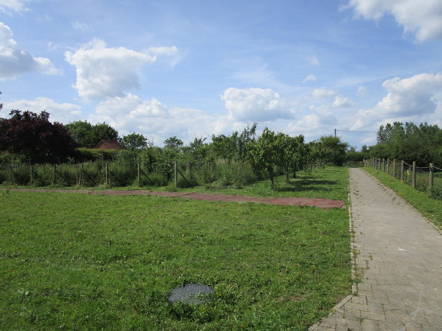
The woodland is a popular destination for outdoor activities such as hiking, jogging, and photography. The peaceful ambiance and stunning scenery make it a favored spot for picnics and family outings. Additionally, the plantation is occasionally used for educational purposes, with schools and nature organizations organizing field trips to teach children about the importance of conservation and wildlife preservation.
Overall, Burton Cliff Plantation is a hidden gem in Lincolnshire, offering a sanctuary of natural beauty and tranquility. Whether one seeks solitude, adventure, or a deeper connection with nature, this woodland provides an unforgettable experience for all who visit.
If you have any feedback on the listing, please let us know in the comments section below.
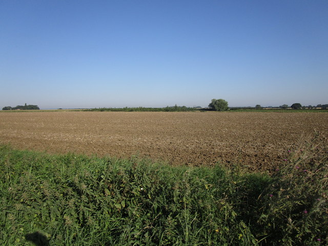
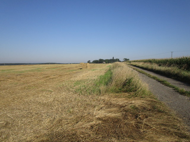
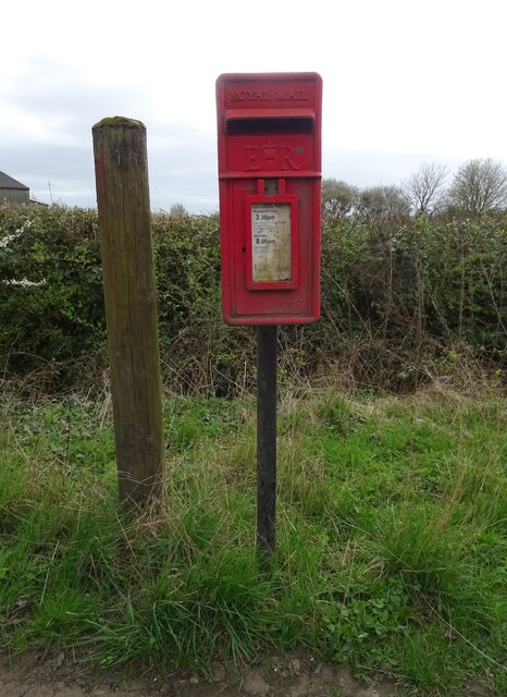
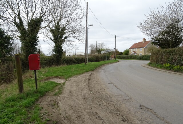
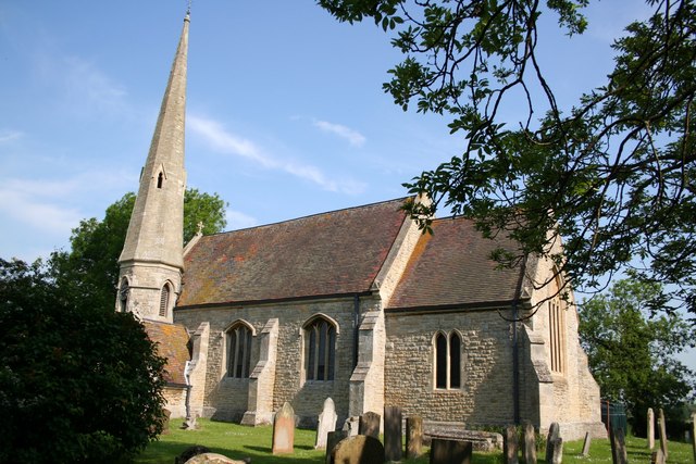
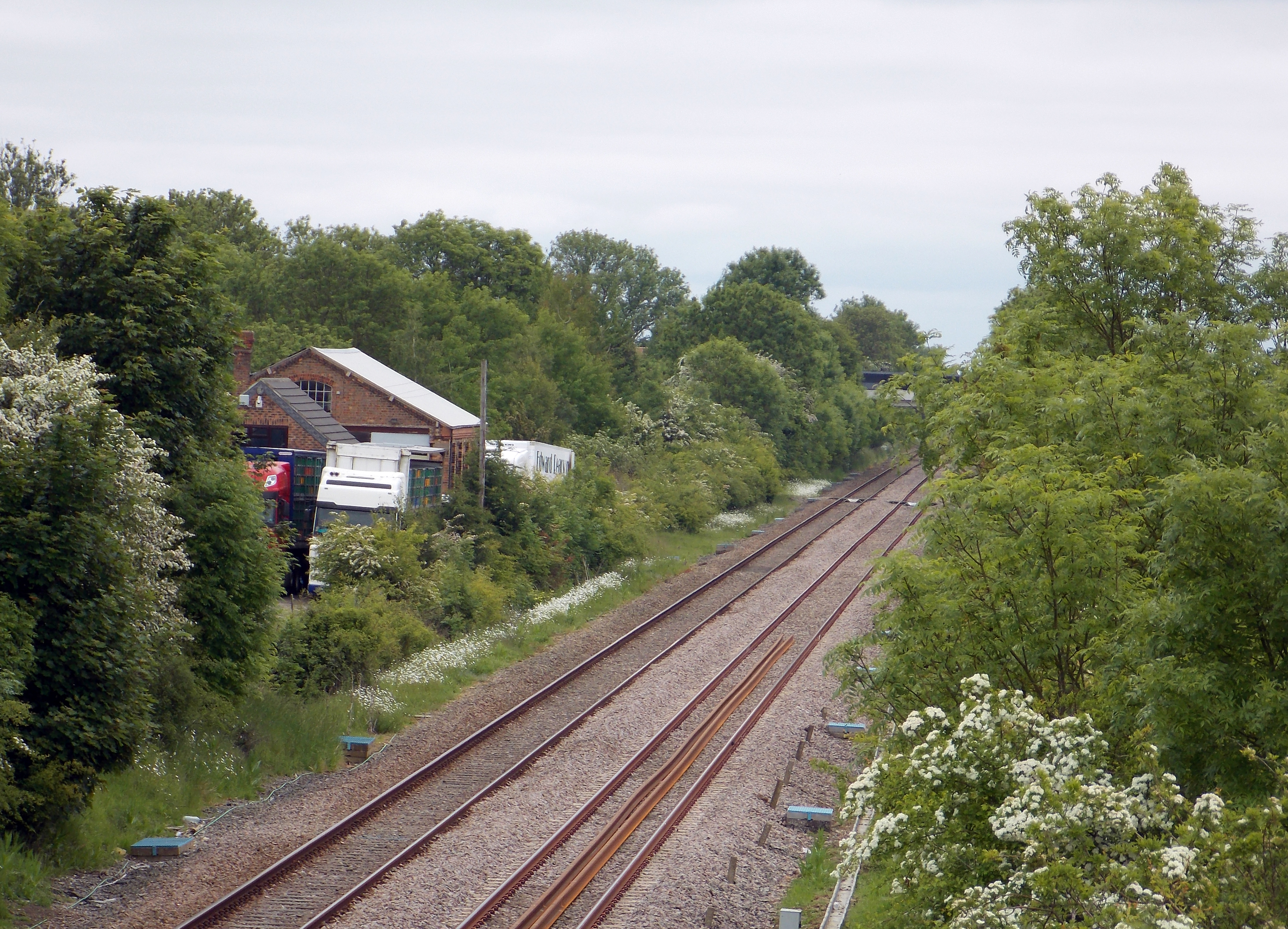
Burton Cliff Plantation Images
Images are sourced within 2km of 52.961585/-0.35209457 or Grid Reference TF1041. Thanks to Geograph Open Source API. All images are credited.


Burton Cliff Plantation is located at Grid Ref: TF1041 (Lat: 52.961585, Lng: -0.35209457)
Administrative County: Lincolnshire
District: North Kesteven
Police Authority: Lincolnshire
What 3 Words
///skewed.lousy.bombshell. Near Heckington, Lincolnshire
Nearby Locations
Related Wikis

Burton Pedwardine
Burton Pedwardine is a hamlet and civil parish in the district of North Kesteven, Lincolnshire, England. The population at the 2011 census was 187. The...
Scredington
Scredington is a village and civil parish in the North Kesteven district of Lincolnshire, England. The population of the civil parish at the 2011 census...

Aswarby and Scredington railway station
Aswarby and Scredington railway station was a station close to Scredington, Lincolnshire on the Great Northern Railway Bourne and Sleaford railway. It...
Helpringham railway station
Helpringham railway station was a station in Helpringham, Lincolnshire. The station was opened by the Great Northern and Great Eastern Joint Railway on...

Helpringham
Helpringham is a village and civil parish in the North Kesteven district of Lincolnshire, England. It lies on the edge of the Fens, and 5 miles (8 km)...

Asgarby, North Kesteven
Asgarby is a village in the civil parish of Asgarby and Howell, in the North Kesteven district of Lincolnshire, England. It is situated on the A17 Boston...

Little Hale
Little Hale is a hamlet and civil parish in the North Kesteven district of Lincolnshire, England. It is situated 5 miles (8 km) south-east from the town...

Heckington
Heckington is a village and civil parish in the North Kesteven district of Lincolnshire, England. It is situated between Sleaford and Swineshead Bridge...
Nearby Amenities
Located within 500m of 52.961585,-0.35209457Have you been to Burton Cliff Plantation?
Leave your review of Burton Cliff Plantation below (or comments, questions and feedback).