Hensnest Plantation
Wood, Forest in Lincolnshire North Kesteven
England
Hensnest Plantation
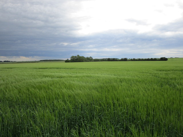
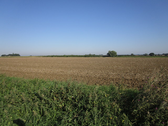
Hensnest Plantation is a picturesque woodland located in Lincolnshire, England. Situated in the heart of the county, the plantation covers an area of approximately 100 acres and is renowned for its natural beauty and diverse flora and fauna.
The woodland consists primarily of mature broadleaf trees, including oak, ash, and beech, which create a dense and enchanting canopy. The rich undergrowth is adorned with a variety of wildflowers, such as bluebells and primroses, providing a vibrant burst of color throughout the seasons.
Hensnest Plantation is home to a wide range of wildlife, making it a haven for nature enthusiasts and birdwatchers. Visitors may spot various bird species, including woodpeckers, owls, and great tits, as well as small mammals like squirrels and rabbits. The tranquil atmosphere of the woodland also attracts a variety of butterflies and insects, adding to the ecosystem's biodiversity.
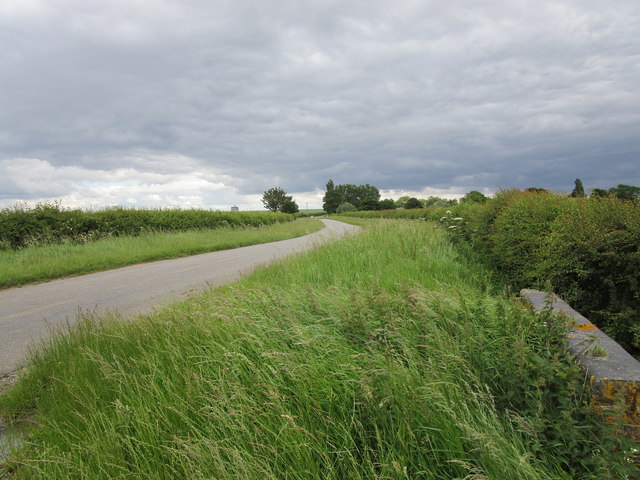
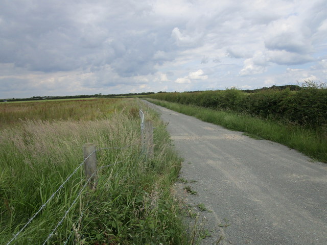
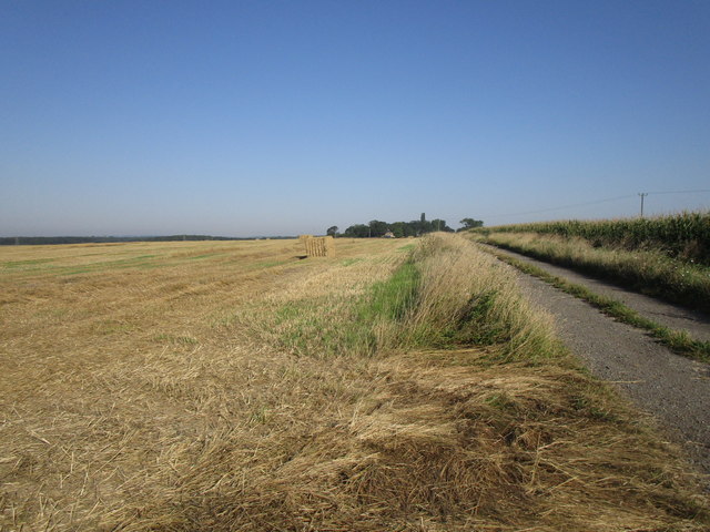
The plantation offers several well-maintained walking trails, allowing visitors to explore its beauty at their own pace. These trails wind through the woodland, offering glimpses of ancient trees, peaceful streams, and secluded clearings. The serene ambiance and the sounds of nature make it an ideal location for relaxation, meditation, or simply a peaceful retreat from the hustle and bustle of daily life.
Hensnest Plantation is easily accessible, with a nearby parking area and facilities for picnics and nature observation. Whether seeking solace in nature or a chance to immerse oneself in the wonders of Lincolnshire's woodlands, Hensnest Plantation is a captivating destination that promises a memorable experience for all who visit.
If you have any feedback on the listing, please let us know in the comments section below.
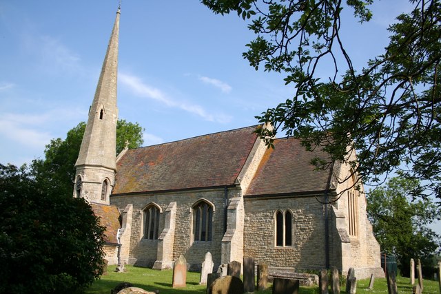
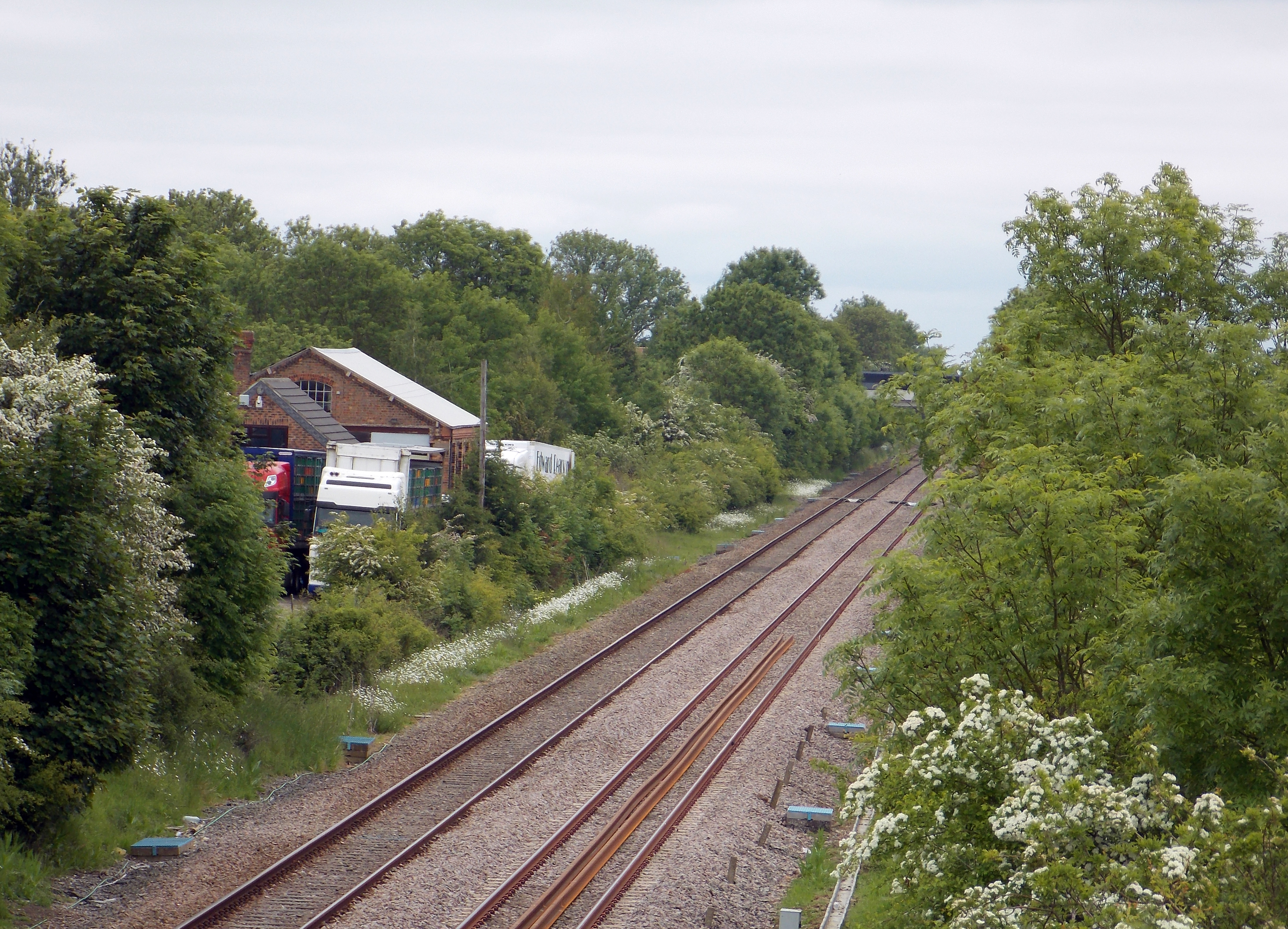
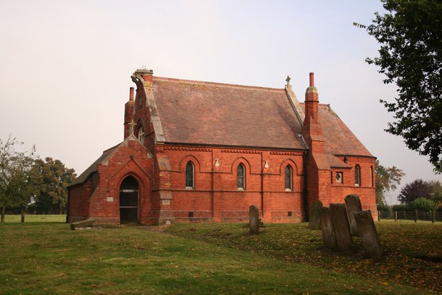
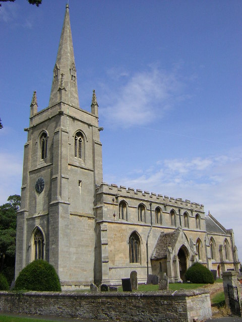
Hensnest Plantation Images
Images are sourced within 2km of 52.960629/-0.35833946 or Grid Reference TF1041. Thanks to Geograph Open Source API. All images are credited.


Hensnest Plantation is located at Grid Ref: TF1041 (Lat: 52.960629, Lng: -0.35833946)
Administrative County: Lincolnshire
District: North Kesteven
Police Authority: Lincolnshire
What 3 Words
///bordering.repay.clocks. Near Heckington, Lincolnshire
Nearby Locations
Related Wikis
Scredington
Scredington is a village and civil parish in the North Kesteven district of Lincolnshire, England. The population of the civil parish at the 2011 census...

Burton Pedwardine
Burton Pedwardine is a hamlet and civil parish in the district of North Kesteven, Lincolnshire, England. The population at the 2011 census was 187. The...

Aswarby and Scredington railway station
Aswarby and Scredington railway station was a station close to Scredington, Lincolnshire on the Great Northern Railway Bourne and Sleaford railway. It...
Helpringham railway station
Helpringham railway station was a station in Helpringham, Lincolnshire. The station was opened by the Great Northern and Great Eastern Joint Railway on...

Helpringham
Helpringham is a village and civil parish in the North Kesteven district of Lincolnshire, England. It lies on the edge of the Fens, and 5 miles (8 km)...
Spanby
Spanby is a village and former civil parish in the North Kesteven district of Lincolnshire, England, about 5 miles (8 km) south from the town of Sleaford...

Asgarby, North Kesteven
Asgarby is a village in the civil parish of Asgarby and Howell, in the North Kesteven district of Lincolnshire, England. It is situated on the A17 Boston...
Aswarby
Aswarby () is a village in the civil parish of Aswarby and Swarby, in the North Kesteven district of Lincolnshire, England. It is 3.5 miles (5.6 km) south...
Nearby Amenities
Located within 500m of 52.960629,-0.35833946Have you been to Hensnest Plantation?
Leave your review of Hensnest Plantation below (or comments, questions and feedback).