Cainhoepark Wood
Wood, Forest in Bedfordshire
England
Cainhoepark Wood

Cainhoepark Wood is a charming woodland located in the county of Bedfordshire, England. Spanning over an area of approximately 400 acres, it offers a peaceful retreat for nature enthusiasts and outdoor lovers alike. The wood is situated near the village of Cainhoe, just a short distance from the town of Bedford.
The woodland is characterized by a diverse range of tree species, including oak, ash, beech, and birch. These trees provide a rich habitat for a variety of wildlife, making it a haven for birdwatchers and nature photographers. Visitors to Cainhoepark Wood can expect to spot species such as woodpeckers, treecreepers, and various songbirds.
The wood is crisscrossed by a network of footpaths and trails, allowing visitors to explore its natural beauty at their own pace. These paths lead visitors through enchanting glades, across babbling brooks, and alongside picturesque ponds. The wood also features a small stream, adding to its scenic allure.
Cainhoepark Wood is managed by the local council, who have taken measures to ensure its preservation and conservation. As a result, the woodland remains largely untouched and retains its natural charm.
For those seeking a peaceful escape from the hustle and bustle of everyday life, Cainhoepark Wood offers a tranquil oasis. Whether it is a leisurely stroll, a family picnic, or a chance to immerse oneself in the wonders of nature, this woodland is a hidden gem in the heart of Bedfordshire.
If you have any feedback on the listing, please let us know in the comments section below.
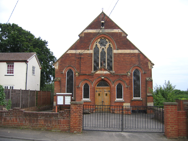
Cainhoepark Wood Images
Images are sourced within 2km of 52.02459/-0.39112793 or Grid Reference TL1037. Thanks to Geograph Open Source API. All images are credited.


Cainhoepark Wood is located at Grid Ref: TL1037 (Lat: 52.02459, Lng: -0.39112793)
Unitary Authority: Central Bedfordshire
Police Authority: Bedfordshire
What 3 Words
///hissing.twig.solicitor. Near Gravenhurst, Bedfordshire
Nearby Locations
Related Wikis

Mid Bedfordshire (UK Parliament constituency)
Mid Bedfordshire is a constituency represented in the House of Commons of the UK Parliament by Alistair Strathern of the Labour Party since a 2023 by...

Cainhoe Castle
Cainhoe Castle was an 11th-century Norman castle, located near the village of Clophill, in the county of Bedfordshire, England. Cainhoe Castle was a motte...

Beadlow
Beadlow is a hamlet in the Central Bedfordshire district of Bedfordshire, England. At the 2011 Census the population of the hamlet was included in the...
Beadlow Priory
Beadlow Priory was a monastic foundation established between 1140 and 1146 by Robert D'Albini for a community of Benedictine monks. == History == Around...
Woburn Sands Formation
The Woburn Sands Formation is a geological formation in England. Part of the Lower Greensand Group, it is the only unit of the group where it occurs, and...

Upper Gravenhurst
Upper Gravenhurst is a village and former civil parish, now in the parish of Gravenhurst, in the Central Bedfordshire district of the ceremonial county...

St Mary's Church, Clophill
The present St Mary's Church is located in the centre of the small village of Clophill, between Bedford and Luton in the South Midlands of England. The...

St Mary's Church, Lower Gravenhurst
St Mary's Church is a redundant Anglican church in the village of Lower Gravenhurst, Bedfordshire, England. It is recorded in the National Heritage List...
Related Videos

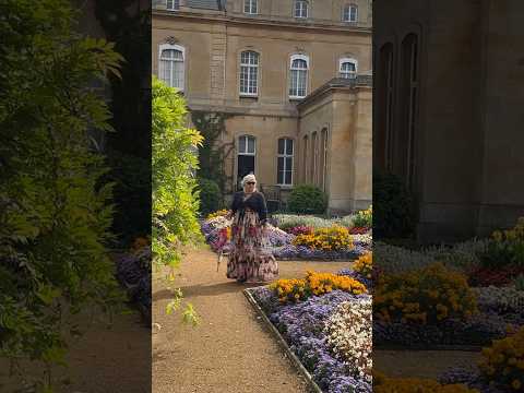
Solo Walking Wrest Park Country Estate | English Heritage
In this video, I am solo walking around Wrest Park, which is a country estate located in Silsoe, Bedfordshire, England. The country ...
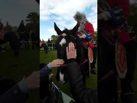
St George’s day at Wrest Park.
St George's day at Wrest Park. Fun day out but a bit chilly with a cold wind blowing. Knights, dragons, arms, stories, games, ...

Nearby Amenities
Located within 500m of 52.02459,-0.39112793Have you been to Cainhoepark Wood?
Leave your review of Cainhoepark Wood below (or comments, questions and feedback).