Orestan Plantation
Wood, Forest in Surrey Guildford
England
Orestan Plantation
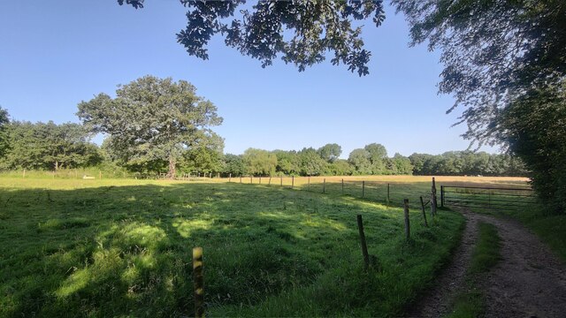
Orestan Plantation is a picturesque estate located in the county of Surrey, England. Situated amidst woodlands and forests, this enchanting retreat offers a tranquil and idyllic setting for nature enthusiasts and those seeking a peaceful escape from the bustling city life.
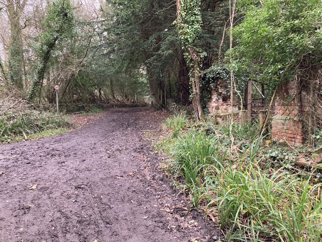
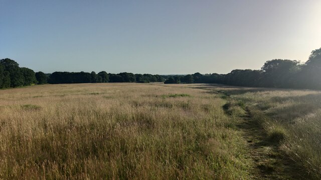
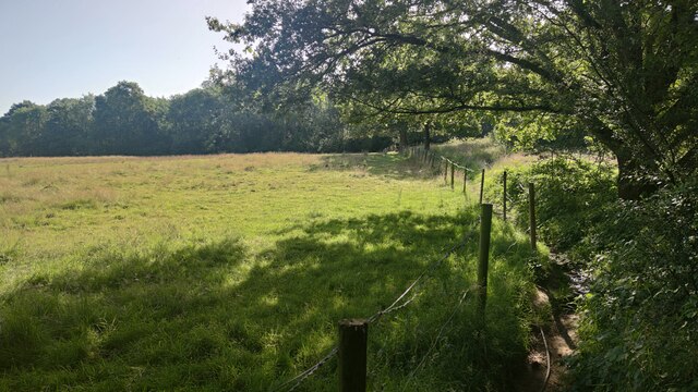
Covering an expansive area, Orestan Plantation is renowned for its lush greenery and diverse plant species. The plantation boasts an extensive wood and forest, creating a haven for a variety of wildlife, including deer, birds, and small mammals. The wooded areas are a treat for hikers and walkers, providing numerous trails and paths to explore, each offering stunning views of the surrounding natural beauty.
The plantation is also home to a charming manor house, which dates back to the 18th century. This historic building adds to the allure of Orestan Plantation, serving as a reminder of its rich heritage. The manor house has been meticulously preserved and offers a glimpse into the past with its period architecture and elegant interiors.
Visitors to Orestan Plantation can partake in a range of activities, such as picnicking, photography, or simply enjoying a peaceful stroll through the woodland. The plantation also hosts educational workshops and guided tours, providing insight into the importance of conservation and the preservation of natural habitats.
Overall, Orestan Plantation in Surrey is a true gem for nature lovers and history enthusiasts alike. With its sprawling woodlands, charming manor house, and a variety of recreational opportunities, it offers a serene and captivating experience for all who visit.
If you have any feedback on the listing, please let us know in the comments section below.
Orestan Plantation Images
Images are sourced within 2km of 51.272296/-0.41873162 or Grid Reference TQ1053. Thanks to Geograph Open Source API. All images are credited.


Orestan Plantation is located at Grid Ref: TQ1053 (Lat: 51.272296, Lng: -0.41873162)
Administrative County: Surrey
District: Guildford
Police Authority: Surrey
What 3 Words
///lies.tilt.amuse. Near East Horsley, Surrey
Nearby Locations
Related Wikis

Horsley Towers
Horsley Towers, East Horsley, Surrey, England is a country house dating from the 19th century. The house was designed by Charles Barry for the banker William...

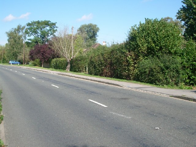
Effingham, Surrey
Effingham is a small English village in the Borough of Guildford in Surrey, reaching from the gently sloping northern plain to the crest of the North...

Effingham Hundred
Effingham Hundred or the Hundred of Effingham was a hundred but often treated as a half-hundred with that of Copthorne (to the east and north-east) and...
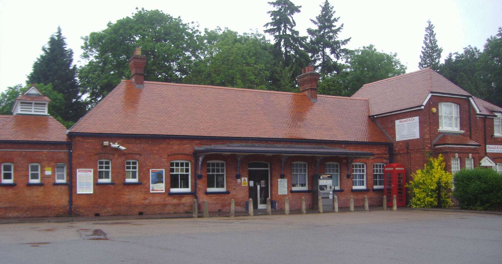
Horsley railway station
Horsley railway station is located in the village of East Horsley in Surrey, England. It is 22 miles 16 chains (35.7 km) down the line from London Waterloo...

East Horsley
East Horsley is a village and civil parish in Surrey, England, 21 miles southwest of London, on the A246 between Leatherhead and Guildford. Horsley and...
Howard of Effingham School
The Howard of Effingham School is a co-educational secondary school and sixth form with academy status. It is located in the village of Effingham, Surrey...

The Forest and the Highlands
The Forest and the Highlands is a 29.74-hectare (73.5-acre) nature reserve north of East Horsley in Surrey. It is owned by East Horsley Parish Council...

West Horsley Place
West Horsley Place is a Grade I listed building in West Horsley, to the east of Guildford in Surrey. There are eight further Grade II buildings on the...
Nearby Amenities
Located within 500m of 51.272296,-0.41873162Have you been to Orestan Plantation?
Leave your review of Orestan Plantation below (or comments, questions and feedback).