Belt Plantation
Wood, Forest in Hertfordshire North Hertfordshire
England
Belt Plantation
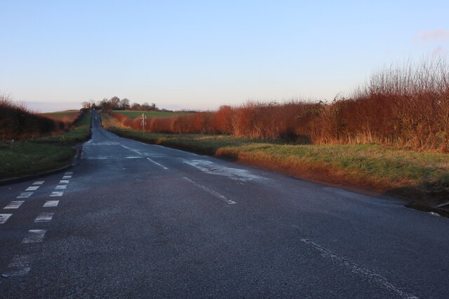
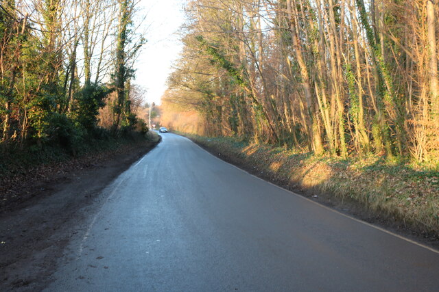
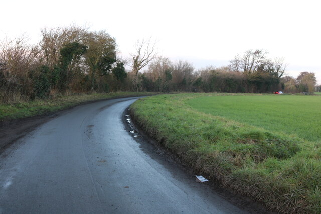
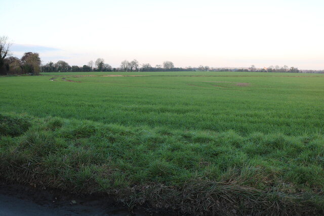
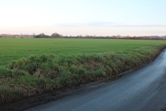
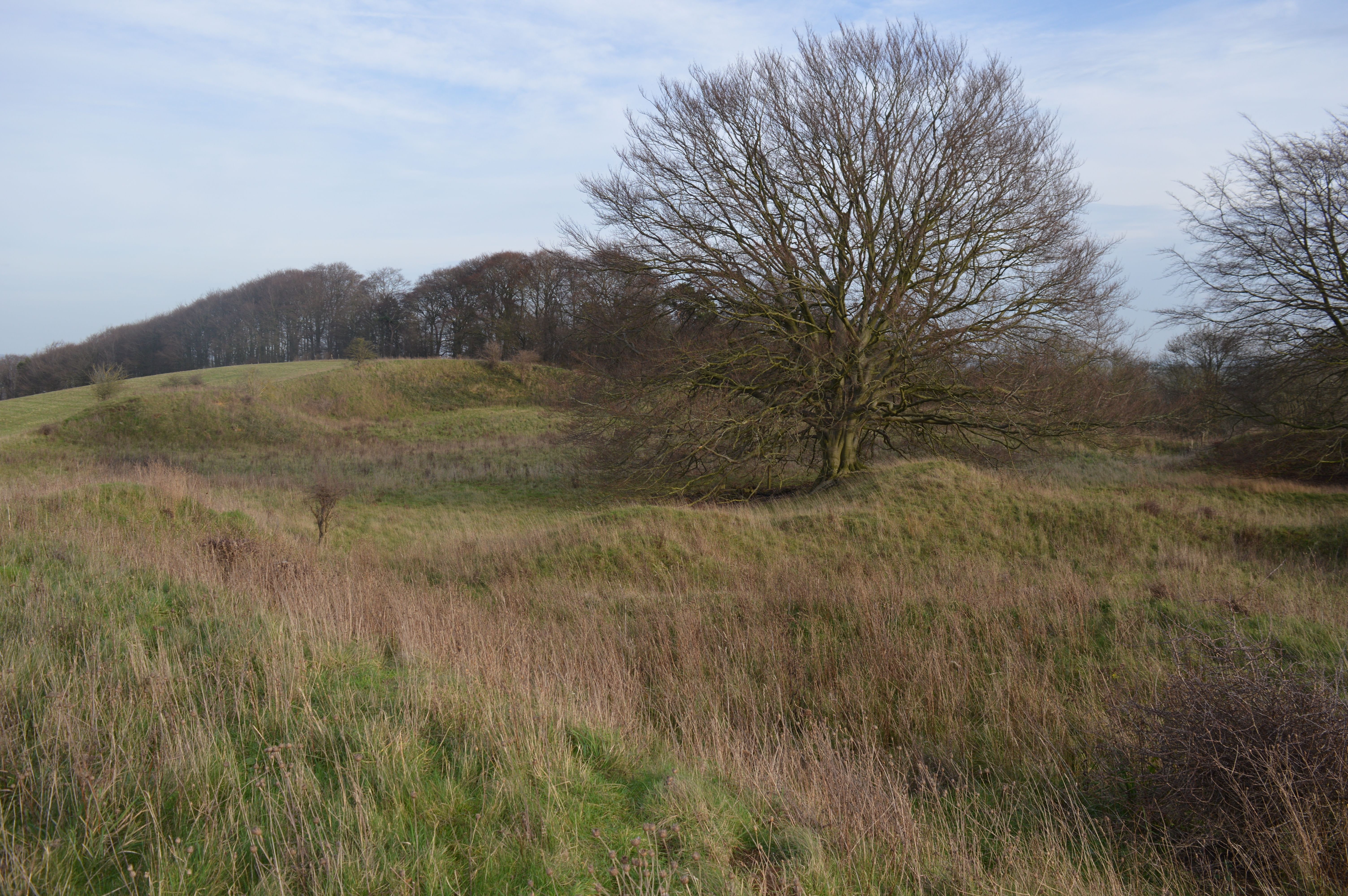
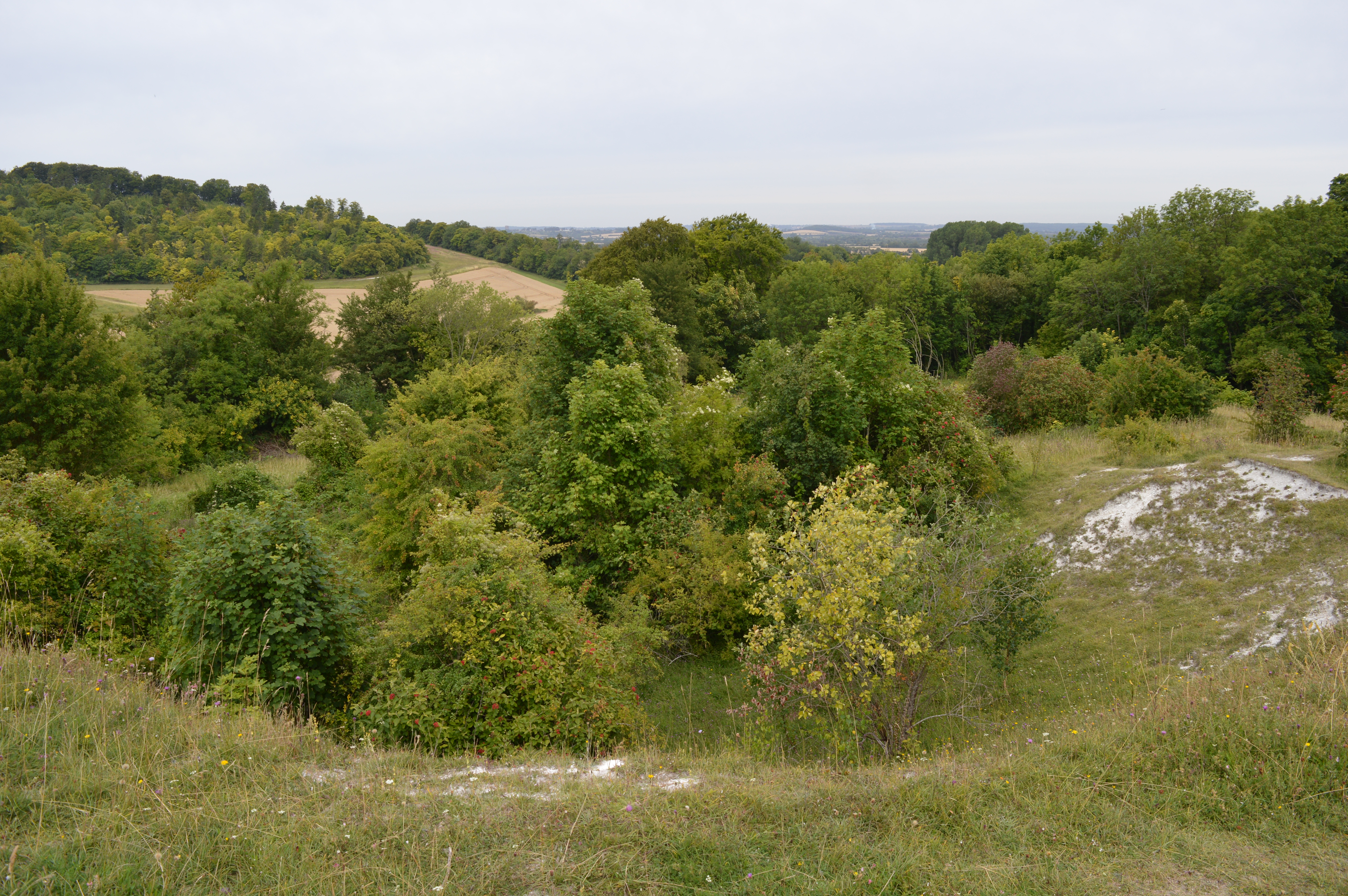
Belt Plantation is a woodland area located in Hertfordshire, a county in southern England. Situated in the heart of the countryside, it covers a vast expanse of land and is renowned for its natural beauty and rich biodiversity. The plantation is mainly composed of trees, forming a dense forest that provides a sanctuary for various plant and animal species.
The woodland is characterized by its diverse range of tree species, including oak, beech, birch, and pine, among others. These trees create a canopy overhead, casting a soothing shade and creating a tranquil atmosphere for visitors. The forest floor is covered in a thick layer of fallen leaves, moss, and undergrowth, providing a habitat for numerous insects, small mammals, and birds.
Belt Plantation is a popular destination for nature enthusiasts, hikers, and wildlife photographers who are captivated by the enchanting scenery and the opportunity to observe and capture the flora and fauna. The woodland is crisscrossed with well-maintained footpaths and trails, allowing visitors to explore the area at their own pace. Along these paths, one can encounter various species of birds, such as woodpeckers, owls, and finches, as well as rabbits, squirrels, and perhaps even deer.
In addition to its natural beauty, Belt Plantation also serves as an important habitat for the conservation of local wildlife. Conservation efforts are in place to protect and sustain the woodland ecosystem, ensuring the continued survival of the diverse species that call it home.
Overall, Belt Plantation in Hertfordshire is a serene and picturesque woodland that offers a peaceful retreat from the hustle and bustle of daily life, while also providing invaluable support to the local ecosystem.
If you have any feedback on the listing, please let us know in the comments section below.
Belt Plantation Images
Images are sourced within 2km of 51.96107/-0.39874473 or Grid Reference TL1030. Thanks to Geograph Open Source API. All images are credited.


Belt Plantation is located at Grid Ref: TL1030 (Lat: 51.96107, Lng: -0.39874473)
Administrative County: Hertfordshire
District: North Hertfordshire
Police Authority: Hertfordshire
What 3 Words
///submerge.overheat.awake. Near Barton-le-Clay, Bedfordshire
Nearby Locations
Related Wikis

Hexton
Hexton is a small village and civil parish in Hertfordshire, England, about 6 miles (10 km) west of Hitchin. This parish is a salient of Hertfordshire...
St Faith's Church, Hexton
Saint Faith's Church, Hexton is the Anglican parish church for the village of Hexton, Hertfordshire. The church is within the parish of Barton-le-Clay...
Barton Gravel Pit
Barton Gravel Pit is a 1.1-hectare (2.7-acre) nature reserve east of Barton-le-Clay in Bedfordshire. It is managed by the Wildlife Trust for Bedfordshire...
Hexton Manor
Hexton Manor is a country house in Hexton, Hertfordshire that has been home to the Lautour family, descendants of the Dukes of Bouillon and Major Sir Patrick...
Hexton Chalk Pit
Hexton Chalk Pit is a 1.9-hectare (4.7-acre) nature reserve in Hexton in North Hertfordshire, managed by the Herts and Middlesex Wildlife Trust. It is...
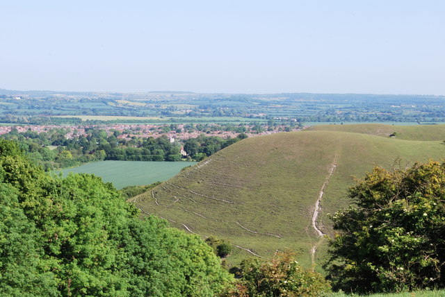
Barton Hills, Bedfordshire
Barton Hills are situated southeast of the village of Barton-le-Clay in the English county of Bedfordshire. They are part of the Chilterns and hiking...

Church of St Nicholas, Barton le Clay
Church of St Nicholas is a Grade I listed church in Barton le Clay, Bedfordshire, England. It became a listed building on 3 February 1967. == History... ==

Pegsdon
Pegsdon is a hamlet located in the Central Bedfordshire district of Bedfordshire, England. It is part of the Shillington civil parish, and is almost encircled...
Nearby Amenities
Located within 500m of 51.96107,-0.39874473Have you been to Belt Plantation?
Leave your review of Belt Plantation below (or comments, questions and feedback).