Brickfield Copse

Wood, Forest in Surrey Elmbridge

England

Brickfield Copse

Old Lane towards Effingham Junction Station
Old Lane towards Effingham Junction Station Credit: James Emmans

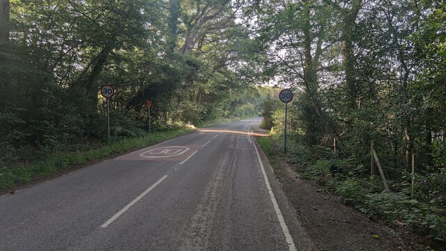
Brickfield Copse is a picturesque woodland located in Surrey, England. Covering an area of approximately 20 acres, it is a popular spot for nature enthusiasts and locals seeking tranquility amidst the bustling city.

The copse is predominantly composed of native deciduous trees, including oak, beech, and birch, which provide a stunning display of colors during the autumn months. These trees create a dense canopy, allowing only dappled sunlight to filter through, creating an enchanting atmosphere.

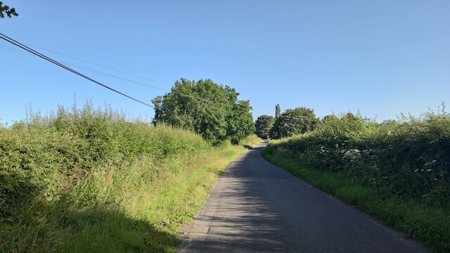
As one explores the copse, they will come across a network of well-maintained footpaths that meander through the woodland. These paths provide an opportunity to observe the diverse flora and fauna that call Brickfield Copse their home. Wildflowers such as bluebells and primroses carpet the forest floor in spring, adding a burst of vibrant color to the surroundings.

The copse is also home to a variety of wildlife, including squirrels, rabbits, and an array of bird species, such as woodpeckers and tits. Nature enthusiasts may be lucky enough to spot the elusive deer that occasionally roam the area.

Brickfield Copse offers a peaceful retreat from the hustle and bustle of modern life. It is a place where visitors can immerse themselves in nature, enjoying the sights and sounds of the woodland. Whether it's a leisurely stroll, a picnic, or birdwatching, this beautiful copse has something to offer for everyone.

If you have any feedback on the listing, please let us know in the comments section below.

Brickfield Copse Images

Images are sourced within 2km of 51.311191/-0.42154162 or Grid Reference TQ1058. Thanks to Geograph Open Source API. All images are credited.

Old Lane towards Effingham Junction Station
Horsley Road Entrance to Highway Farm.
Horsley Road
Entrance to Highway Farm.
Ploughed field next to Chilbrook Farm
St Michael's Chapel View from the Downside footpath that leads to Cobham.
St Michael's Chapel
View from the Downside footpath that leads to Cobham.
Bookham Road Rural road that leads to Little Bookham Common. It goes under the M25 and the New Guildford Railway (1885).
Bookham Road
Rural road that leads to Little Bookham Common. It goes under the M25 and the New Guildford Railway (1885).
Gothic Temple, Painshill Park One of many interesting features in this huge park created by Charles Hamilton in the 18th century, the Gothic Temple is in fact made of wood and rendered to look like stone. It sits on a hill overlooking a serpentine lake.
Gothic Temple, Painshill Park
One of many interesting features in this huge park created by Charles Hamilton in the 18th century, the Gothic Temple is in fact made of wood and rendered to look like stone. It sits on a hill overlooking a serpentine lake.
Fields and pylons by the bridleway south of Cobham Seen from the bridleway (Esher 82) bridge over the mill race from Downside Mill.
Fields and pylons by the bridleway south of Cobham
Seen from the bridleway (Esher 82) bridge over the mill race from Downside Mill.
Junction of Cobham Park Road (foreground) and Downside Road Looking north-west.
Junction of Cobham Park Road (foreground) and Downside Road
Looking north-west.
River Mole at Cobham Looking south-west from Downside Bridge.
River Mole at Cobham
Looking south-west from Downside Bridge.
Horsley Road, Downside looking south across the M25 bridge
Horsley Road, Downside
looking south across the M25 bridge
New March House by Horsley Road, south of Downside
New March House
by Horsley Road, south of Downside
M25 and railway cross each other and Bookham Road looking north-west
M25 and railway cross each other and Bookham Road
looking north-west
Cobham Mill. On the river Mole. The top half of the mill wheel is visible.
Cobham Mill.
On the river Mole. The top half of the mill wheel is visible.
Clamp Rough Birch plantation, laid down pre-war
Clamp Rough
Birch plantation, laid down pre-war
Railway Cottages, Effingham Junction Original cottages on the west side of Old Lane
Railway Cottages, Effingham Junction
Original cottages on the west side of Old Lane
Old Lane. Effingham Junction East side of Old Lane, houses and flats built around 1950. This side of the road is in the parish if Cobham.
Old Lane. Effingham Junction
East side of Old Lane, houses and flats built around 1950. This side of the road is in the parish if Cobham.
St Andrew's Church, Cobham This is an attractive old church in Cobham, here is a link to their website 
<span class="nowrap"><a title="http://www.standrewscobham.org.uk/" rel="nofollow ugc noopener" href="http://www.standrewscobham.org.uk/">Link</a><img style="margin-left:2px;" alt="External link" title="External link - shift click to open in new window" src="https://s1.geograph.org.uk/img/external.png" width="10" height="10"/></span>
St Andrew's Church, Cobham
This is an attractive old church in Cobham, here is a link to their website LinkExternal link
Cobham Telephone Exchange, Church Street, Cobham Church Street, not Church Lane
Cobham Telephone Exchange, Church Street, Cobham
Church Street, not Church Lane
Show me another place!

Brickfield Copse is located at Grid Ref: TQ1058 (Lat: 51.311191, Lng: -0.42154162)

Administrative County: Surrey

District: Elmbridge

Police Authority: Surrey

What 3 Words

///swaps.jets.hype. Near Cobham, Surrey

Related Wikis

Hatchford

Hatchford is a hamlet in the English county of Surrey outside the town of Cobham (its former civil and ecclesiastical parish); it traditionally includes...

Downside, Surrey

Downside is a small village in the English county of Surrey, in the local government district of Elmbridge, centred on Downside Common which is 18 miles...

Cobham MSA

Cobham services is a motorway service area on the M25 motorway in Surrey between junctions 9 and 10. It is operated by Extra MSA and was opened for business...

Chatley Heath

Chatley Heath is part of 336 hectare reserve including Wisley Common, Ockham and parts of Hatchford. It is an area with a mixed habitats including heathland...
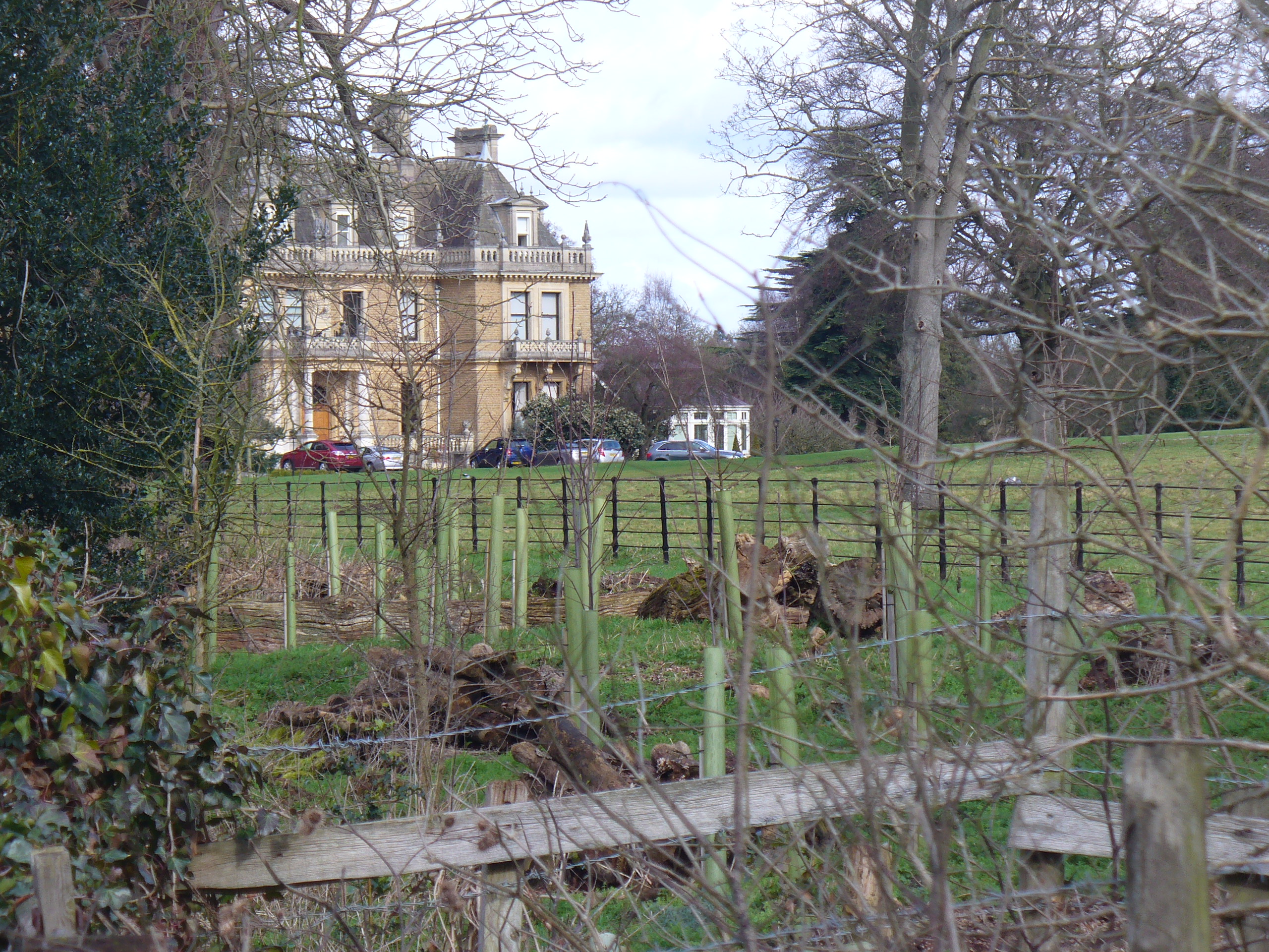
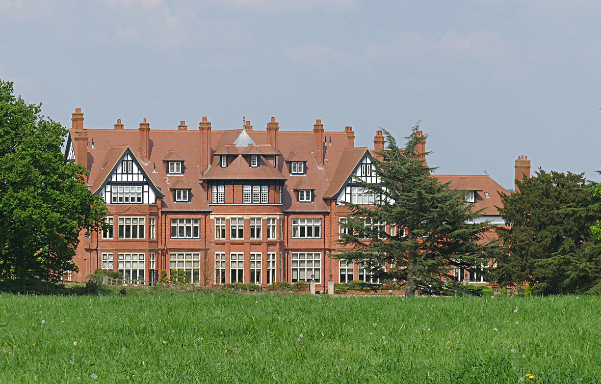
Cobham Park

Cobham Park is a set of about 22 apartments in and around a converted country mansion and associated lawn, gardens, fields and woodlands in the mainly...

Cobham F.C.

Cobham Football Club is a semi-professional football club based in the village of Cobham, Surrey, England. Affiliated to the Surrey County Football Association...

Epsom & Ewell F.C.

Epsom & Ewell Football Club is a football club based in Epsom, Surrey, England. Affiliated to the Surrey County Football Association, the club are currently...
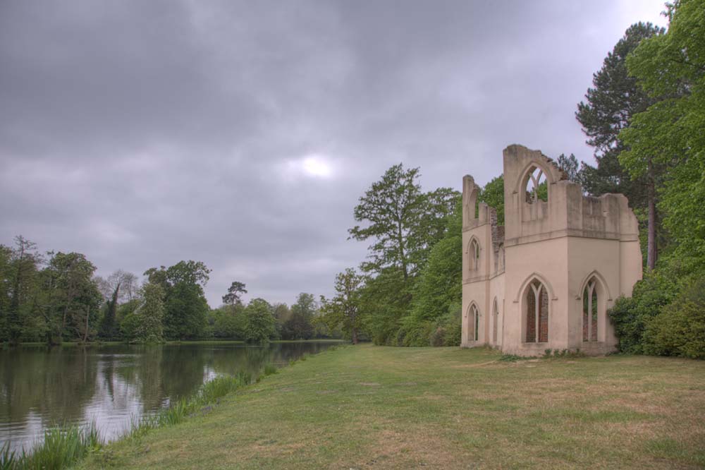
Painshill

Painshill (also referred to as "Pains Hill" in some 19th-century texts), near Cobham, Surrey, England, is one of the finest remaining examples of an 18th...

Nearby Amenities

Located within 500m of 51.311191,-0.42154162
Phone
Emergency: phone
Operator: National Highways
Operator Wikidata: Q5760006
Lat/Long: 51.3102851/-0.4209095
Phone
Emergency: phone
Operator: National Highways
Operator Wikidata: Q5760006
Lat/Long: 51.3097915/-0.4207578
Barrier: stile
Lat/Long: 51.3112838/-0.4166699
Barrier: kissing_gate
Lat/Long: 51.3093944/-0.4171876
Barrier: kissing_gate
Lat/Long: 51.3092562/-0.4171001
Street Lamp
Lamp Model: Urbis ZX3
Lamp Type: SON
Source: Mapillary (2019-02-15)
Lat/Long: 51.3083937/-0.4161876
Street Lamp
Lamp Model: Urbis ZX3
Lamp Type: SON
Source: Mapillary (2019-02-15)
Lat/Long: 51.3085748/-0.4167455
Street Lamp
Lamp Model: Urbis ZX3
Lamp Type: SON
Source: Mapillary (2019-02-15)
Lat/Long: 51.3087609/-0.4172793
Street Lamp
Lamp Model: Urbis ZX3
Lamp Type: SON
Source: Mapillary (2019-02-15)
Lat/Long: 51.3089504/-0.4178265
Street Lamp
Lamp Model: Urbis ZX3
Lamp Type: SON
Source: Mapillary (2019-02-15)
Lat/Long: 51.3091315/-0.4183415
Street Lamp
Lamp Model: Urbis ZX3
Lamp Type: SON
Source: Mapillary (2019-02-15)
Lat/Long: 51.3093243/-0.4188564
Street Lamp
Lamp Model: Urbis ZX3
Lamp Type: SON
Source: Mapillary (2019-02-15)
Lat/Long: 51.3095104/-0.4193848
Street Lamp
Lamp Model: Urbis ZX3
Lamp Type: SON
Source: Mapillary (2019-02-15)
Lat/Long: 51.3097066/-0.4199186
Street Lamp
Lamp Model: Urbis ZX3
Lamp Type: SON
Source: Mapillary (2019-02-15)
Lat/Long: 51.309896/-0.4204524
Street Lamp
Lamp Model: Urbis ZX3
Lamp Type: SON
Source: Mapillary (2019-02-15)
Lat/Long: 51.3100888/-0.4209647
Street Lamp
Lamp Model: Urbis ZX3
Lamp Type: SON
Source: Mapillary (2019-02-15)
Lat/Long: 51.3102833/-0.4214984
Street Lamp
Lamp Model: Urbis ZX3
Lamp Type: SON
Source: Mapillary (2019-02-15)
Lat/Long: 51.3104829/-0.4220322
Street Lamp
Lamp Model: Urbis ZX3
Lamp Type: SON
Source: Mapillary (2019-02-15)
Lat/Long: 51.3106841/-0.4225606
Street Lamp
Lamp Model: Urbis ZX3
Lamp Type: SON
Source: Mapillary (2019-02-15)
Lat/Long: 51.3108802/-0.4230917
Street Lamp
Lamp Model: Urbis ZX3
Lamp Type: SON
Source: Mapillary (2019-02-15)
Lat/Long: 51.3110647/-0.4236013
Street Lamp
Lamp Model: Urbis ZX3
Lamp Type: SON
Source: Mapillary (2019-02-15)
Lat/Long: 51.3112625/-0.424135
Street Lamp
Lamp Model: Urbis ZX3
Lamp Type: SON
Source: Mapillary (2019-02-15)
Lat/Long: 51.3114654/-0.4246393
Street Lamp
Lamp Model: Urbis ZX3
Lamp Type: SON
Source: Mapillary (2019-02-15)
Lat/Long: 51.3116632/-0.425165
Street Lamp
Lamp Model: Urbis ZX3
Lamp Type: SON
Source: Mapillary (2019-02-15)
Lat/Long: 51.3118795/-0.425688
Street Lamp
Lamp Model: Urbis ZX3
Lamp Type: SON
Source: Mapillary (2019-02-15)
Lat/Long: 51.3120857/-0.4262272
Street Lamp
Lamp Model: Urbis ZX3
Lamp Type: SON
Source: Mapillary (2019-02-15)
Lat/Long: 51.3122903/-0.4267502
Street Lamp
Lamp Model: Urbis ZX3
Lamp Type: SON
Source: Mapillary (2019-02-15)
Lat/Long: 51.3124998/-0.4272866
Street Lamp
Lamp Model: Urbis ZX3
Lamp Type: SON
Source: Mapillary (2019-02-15)
Lat/Long: 51.3127144/-0.4278204
Traffic Sign: variable_message
Variable Message Model: MS2
Lat/Long: 51.3121284/-0.4258134
Traffic Sign: variable_message
Variable Message Model: AMI
Lat/Long: 51.3120926/-0.425849
Traffic Sign: variable_message
Variable Message Model: AMI
Lat/Long: 51.312063/-0.4258784
Traffic Sign: variable_message
Variable Message Model: AMI
Lat/Long: 51.3120358/-0.4259055
Traffic Sign: variable_message
Variable Message Model: AMI
Lat/Long: 51.3120121/-0.4259291
Traffic Sign: variable_message
Variable Message Model: MS3
Lat/Long: 51.3127693/-0.4282213
Camera Mount: pole
Camera Type: panning
Man Made: surveillance
Operator: National Highways
Operator Wikidata: Q5760006
Surveillance: outdoor
Surveillance Type: camera
Surveillance Zone: traffic
Lat/Long: 51.3128364/-0.4281549
Traffic Sign: variable_message
Variable Message Model: AMI
Lat/Long: 51.3103107/-0.42168
Traffic Sign: variable_message
Variable Message Model: AMI
Lat/Long: 51.3102822/-0.4217066
Traffic Sign: variable_message
Variable Message Model: AMI
Lat/Long: 51.3102564/-0.4217308
Traffic Sign: variable_message
Variable Message Model: AMI
Lat/Long: 51.3102313/-0.4217543
Traffic Sign: variable_message
Variable Message Model: MS3
Lat/Long: 51.3086582/-0.4172673
Barrier: kissing_gate
Lat/Long: 51.3093549/-0.4170707
Man Made: mast
Operator: Wireless Infrastructure Group
Tower Type: communication
Lat/Long: 51.3106503/-0.4203239
Fire Hydrant
Emergency: fire_hydrant
Fire Hydrant Diameter: 125
Fire Hydrant Position: lane
Fire Hydrant Type: underground
Water Source: main
Lat/Long: 51.3125203/-0.4230177
The data included in this document is from www.openstreetmap.org. The data is made available under ODbL.

Have you been to Brickfield Copse?

Leave your review of Brickfield Copse below (or comments, questions and feedback).