Ash Copse

Wood, Forest in Sussex Horsham

England

Ash Copse

The Parish Church of St Mary The church at Sullington is a Grade I listed building. For further details see <span class="nowrap"><a title="https://historicengland.org.uk/listing/the-list/list-entry/1354077" rel="nofollow ugc noopener" href="https://historicengland.org.uk/listing/the-list/list-entry/1354077">Link</a><img style="margin-left:2px;" alt="External link" title="External link - shift click to open in new window" src="https://s1.geograph.org.uk/img/external.png" width="10" height="10"/></span>
The Parish Church of St Mary Credit: Chris Thomas-Atkin

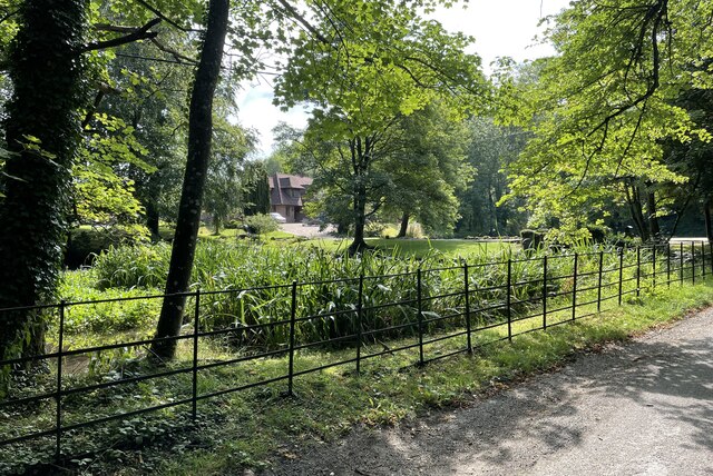
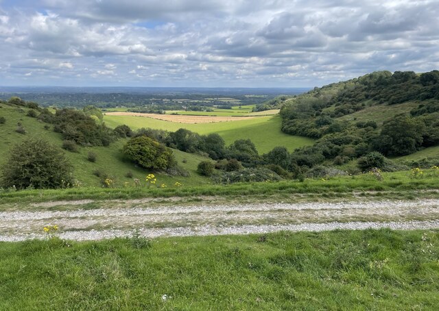
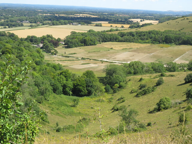
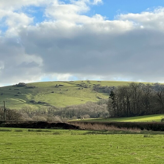
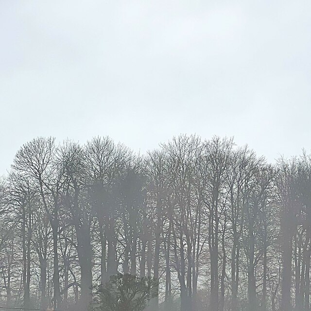
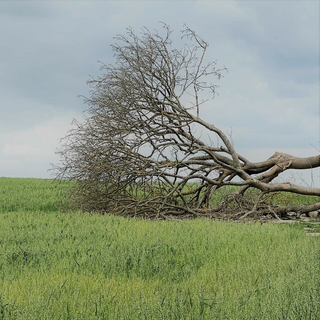
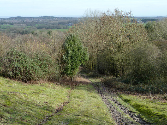
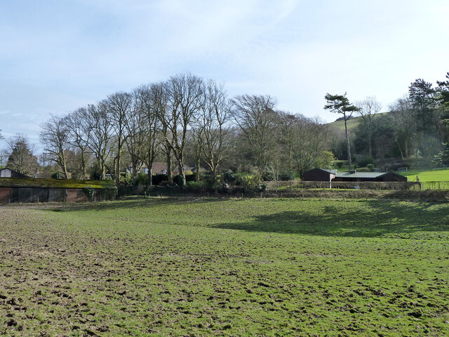
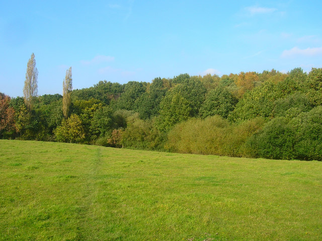
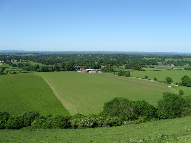
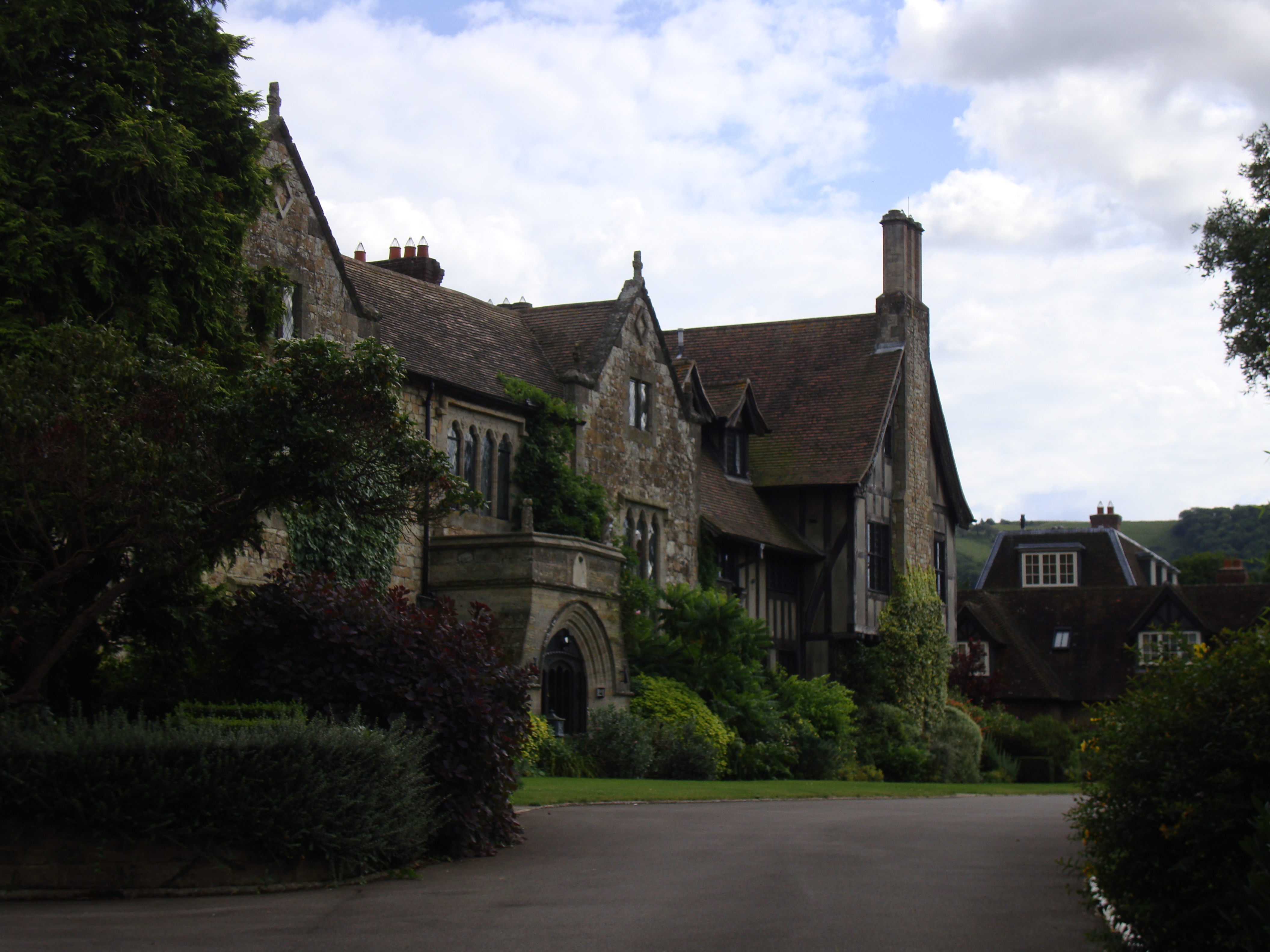
Ash Copse is a woodland area located in Sussex, England. Covering an approximate area of 100 acres, it is a picturesque forest that is known for its diverse range of plant and animal species. The copse is predominantly made up of ash trees, hence its name, which create a dense canopy, providing shade and shelter for the flora and fauna that inhabit the area.

The forest floor of Ash Copse is covered with a rich carpet of wildflowers, including bluebells, primroses, and wood anemones, which bloom in a stunning display of colors during the springtime. The undergrowth is also home to various ferns and mosses, adding to the overall biodiversity of the woodland.

The copse is a haven for a wide variety of bird species, including woodpeckers, tawny owls, and nightingales. The dense foliage provides nesting sites and the abundance of insects attracts birds of prey such as kestrels and sparrowhawks. Visitors to Ash Copse may be lucky enough to catch a glimpse of these magnificent creatures as they go about their daily activities.

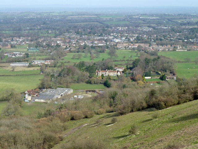
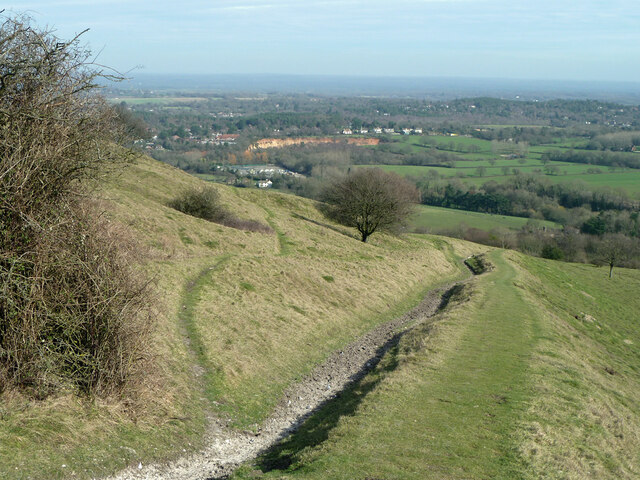
The woodland is crisscrossed by a network of footpaths and trails, allowing visitors to explore and appreciate the natural beauty of the area. The peaceful and tranquil atmosphere of Ash Copse makes it a popular destination for nature lovers, hikers, and photographers.

Overall, Ash Copse is a stunning woodland that offers a diverse range of flora and fauna, making it a valuable natural resource and a cherished recreational space for both locals and visitors alike.

If you have any feedback on the listing, please let us know in the comments section below.

Ash Copse Images

Images are sourced within 2km of 50.911645/-0.43584895 or Grid Reference TQ1013. Thanks to Geograph Open Source API. All images are credited.

The Parish Church of St Mary The church at Sullington is a Grade I listed building. For further details see <span class="nowrap"><a title="https://historicengland.org.uk/listing/the-list/list-entry/1354077" rel="nofollow ugc noopener" href="https://historicengland.org.uk/listing/the-list/list-entry/1354077">Link</a><img style="margin-left:2px;" alt="External link" title="External link - shift click to open in new window" src="https://s1.geograph.org.uk/img/external.png" width="10" height="10"/></span>
The Parish Church of St Mary
The church at Sullington is a Grade I listed building. For further details see LinkExternal link
Sullington Manor The building close to the church is Sullington Manor, which is a Grade II listed building. See <span class="nowrap"><a title="https://historicengland.org.uk/listing/the-list/list-entry/1285147" rel="nofollow ugc noopener" href="https://historicengland.org.uk/listing/the-list/list-entry/1285147">Link</a><img style="margin-left:2px;" alt="External link" title="External link - shift click to open in new window" src="https://s1.geograph.org.uk/img/external.png" width="10" height="10"/></span>
Sullington Manor
The building close to the church is Sullington Manor, which is a Grade II listed building. See LinkExternal link
Chantry Mere Viewed from Chantry Lane.
Chantry Mere
Viewed from Chantry Lane.
Track on Sullington Hill A typical chalk based track on the South Downs.
Track on Sullington Hill
A typical chalk based track on the South Downs.
The Chantry from Chantry Hill One of the many fine views from the short circular walk from Sullington
The Chantry from Chantry Hill
One of the many fine views from the short circular walk from Sullington
Sullington Manor A patchwork of building materials from chalk, flint and brick, with the Church alongside
Sullington Manor
A patchwork of building materials from chalk, flint and brick, with the Church alongside
Sullington Manor Barn One of the finest barns in Sussex, now used as a heritage exhibition space and much -valued tea room
Sullington Manor Barn
One of the finest barns in Sussex, now used as a heritage exhibition space and much -valued tea room
View SSE towards Sullington Hill
Misty clump of trees - east of Greyfriars
Junction of North Street and High Street
Our Lady of England Priory This part of the building is labelled "monastery" on the map. Behind it is the church.
Our Lady of England Priory
This part of the building is labelled "monastery" on the map. Behind it is the church.
Buildings on Church Street
Fallen tree near the footpath The crop is oats, I think. Part of the tree had fallen the other way - to the right. Maybe it was struck by lightning?
Fallen tree near the footpath
The crop is oats, I think. Part of the tree had fallen the other way - to the right. Maybe it was struck by lightning?
View towards Storrington from the downs
Footpath 2684, Storrington and Sullington Oddly the small path to the left is a bridleway (2251), appearances suggest that they have been used the other way around.
Footpath 2684, Storrington and Sullington
Oddly the small path to the left is a bridleway (2251), appearances suggest that they have been used the other way around.
Paddocks below Chantry Hill, Storrington
Footpath 2684, Storrington and Sullington The footpaths here are a real mess because of use by horses - one hopes they have private rights. Legal use or not, the pedestrian loses out.
Footpath 2684, Storrington and Sullington
The footpaths here are a real mess because of use by horses - one hopes they have private rights. Legal use or not, the pedestrian loses out.
Field by The Chantry, Storrington Cut up by horses.
Field by The Chantry, Storrington
Cut up by horses.
Show me another place!

Ash Copse is located at Grid Ref: TQ1013 (Lat: 50.911645, Lng: -0.43584895)

Administrative County: West Sussex

District: Horsham

Police Authority: Sussex

What 3 Words

///courts.dishes.shaped. Near Storrington, West Sussex

Nearby Locations

Ash Copse

Related Wikis

Sullington

Sullington is a village and former civil parish, now in the parish of Storrington and Sullington, in the Horsham district of West Sussex, England. The...

Storrington (electoral division)

Storrington is an electoral division of West Sussex in the United Kingdom and returns one member to West Sussex County Council. == Extent == The division...

Chantry Mill

Chantry Mill is a 8.7-hectare (21-acre) geological Site of Special Scientific Interest in Storrington in West Sussex. It is a Geological Conservation Review...

Sullington Warren

Sullington Warren is a 24.7-hectare (61-acre) biological Site of Special Scientific Interest in Storrington in West Sussex. The site includes several tumuli...

The Sanctuary (community)

The Sanctuary, near Storrington in West Sussex, England, was a utopian community which was founded in 1923 and lasted about a decade. == Founding and... ==

Rydon Community College

Rydon Community College was a maintained comprehensive middle-deemed-secondary school for pupils aged 10 to 13. The school was located just outside Storrington...
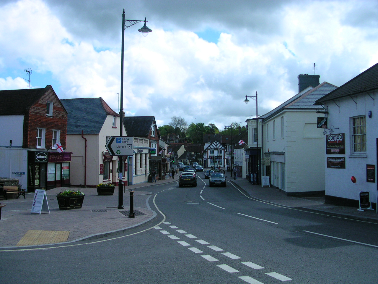
Storrington

Storrington is a town and former civil parish, now in the parish of Storrington and Sullington, in the Horsham district of West Sussex, England. Storrington...

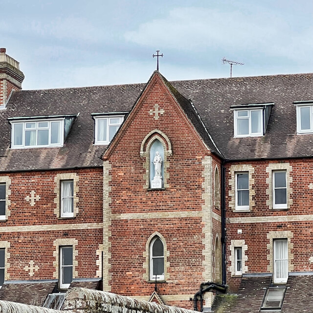
The Abbey, Storrington

St Joseph's Abbey (The Abbey), Storrington at Storrington in Sussex, England, was originally a rectory, later a small country house and then a convent...

Nearby Amenities

Located within 500m of 50.911645,-0.43584895
Bus Stop
A283
Naptan AtcoCode: 4400HR0176
Naptan Bearing: E
Naptan CommonName: A283
Naptan Indicator: adj Water Lane
Naptan Landmark: Water Lane
Naptan NaptanCode: wsxatpdj
Naptan Street: A283
Naptan Verified: no
Source: naptan_import
Lat/Long: 50.9141494/-0.4375787
Bus Stop
Washington Road
Naptan AtcoCode: 4400HR0177
Naptan Bearing: W
Naptan CommonName: Washington Road
Naptan Indicator: adj Sullington Lane
Naptan Landmark: Water Lane
Naptan NaptanCode: wsxatpdm
Naptan Street: Washington Road
Naptan Verified: no
Source: naptan_import
Lat/Long: 50.9145305/-0.4398711
Bus Stop
Water Lane
Naptan AtcoCode: 4400HR0178
Naptan Bearing: N
Naptan CommonName: Water Lane
Naptan Indicator: adj Washington Road Near pit
Naptan Landmark: A283
Naptan NaptanCode: wsxatpdp
Naptan Street: Water Lane
Naptan Verified: no
Source: naptan_import
Lat/Long: 50.9145508/-0.4380468
Post Box
Brand: Royal Mail
Brand Wikidata: Q638098
Operator: Royal Mail
Operator Wikidata: Q638098
Post Box Type: wall
Ref: RH20 30
Royal Cypher: GR
Royal Cypher Wikidata: Q33102273
Lat/Long: 50.9142667/-0.4385129
Man Made: mast
Lat/Long: 50.914524/-0.4376195
The data included in this document is from www.openstreetmap.org. The data is made available under ODbL.

Have you been to Ash Copse?

Leave your review of Ash Copse below (or comments, questions and feedback).