Little Catworth Gorse

Wood, Forest in Huntingdonshire Huntingdonshire

England

Little Catworth Gorse

The former Fox pub, next to the A14 near Brington
The former Fox pub, next to the A14 near Brington Credit: Christopher Hilton

Little Catworth Gorse is a small wood located in the county of Huntingdonshire, England. Situated near the village of Little Catworth, it spans an area of approximately 20 acres and is renowned for its picturesque beauty and diverse flora and fauna.

The wood is predominantly composed of gorse, a spiny shrub that adds a vibrant burst of yellow to the landscape when in bloom. The gorse provides a dense cover, creating a habitat ideal for various small mammals, birds, and insects. It is home to species such as rabbits, foxes, badgers, and a variety of birds including woodpeckers, thrushes, and finches.

Little Catworth Gorse is known for its peaceful atmosphere and scenic walking trails, making it a popular destination for nature enthusiasts and hikers. The wood offers an opportunity to observe and appreciate the natural surroundings, with its trees providing shade during summer months and creating a rich tapestry of colors in the autumn.

Managed by the local forestry commission, the wood is maintained to ensure its preservation and to promote biodiversity. The commission periodically carries out maintenance activities such as thinning trees and controlling invasive species to maintain the delicate balance of the ecosystem.

Overall, Little Catworth Gorse offers a tranquil escape from the hustle and bustle of everyday life, allowing visitors to immerse themselves in the beauty of the natural world and indulge in the wonders of Huntingdonshire's woodlands.

If you have any feedback on the listing, please let us know in the comments section below.

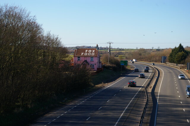
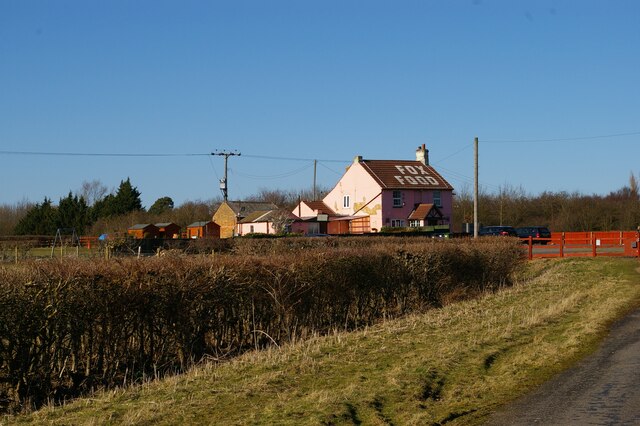
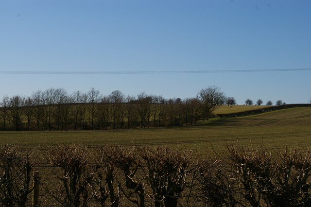
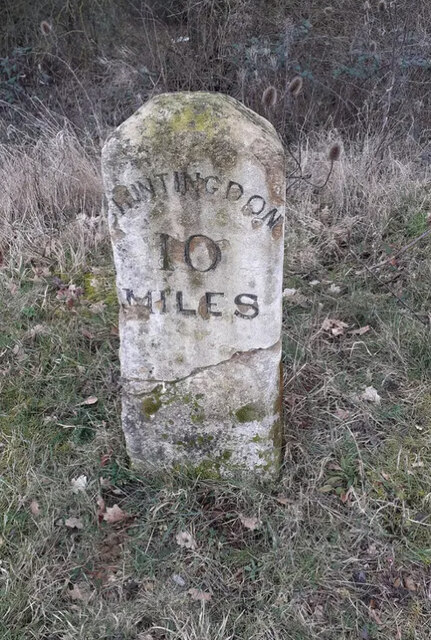
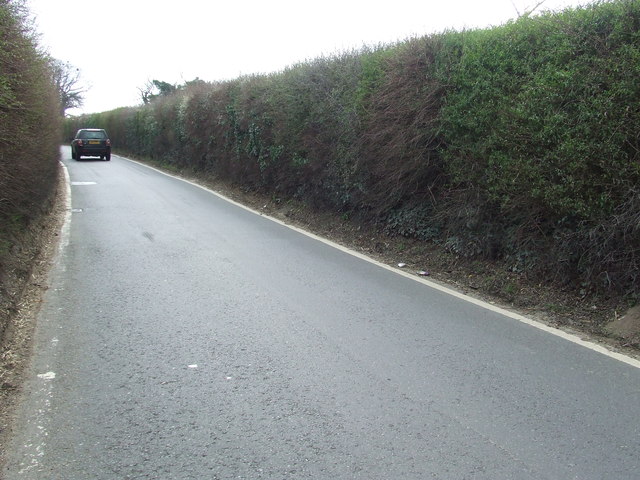
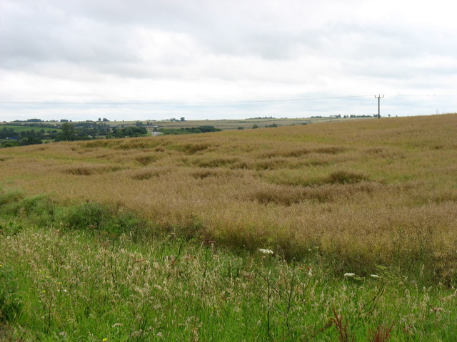
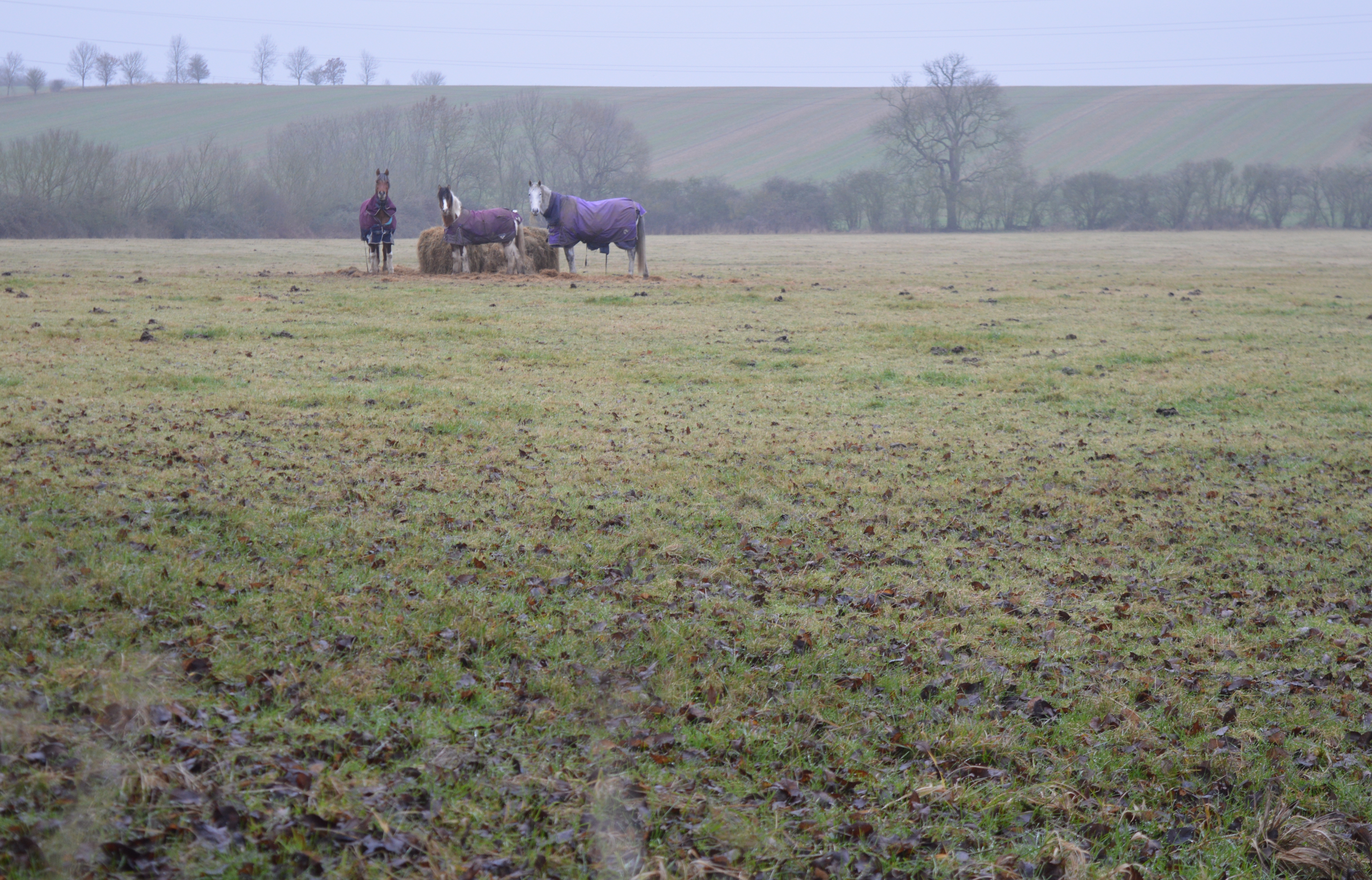
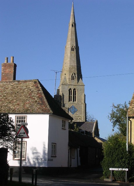
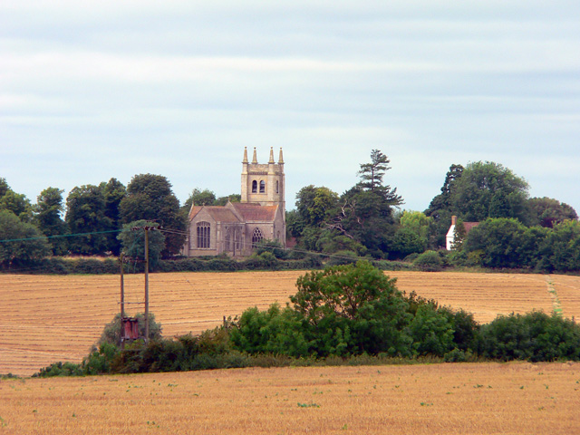
Little Catworth Gorse Images

Images are sourced within 2km of 52.351483/-0.38625895 or Grid Reference TL1073. Thanks to Geograph Open Source API. All images are credited.

The former Fox pub, next to the A14 near Brington
Looking east along the A14 from the bridge at Brington
The former Fox pub, next to the A14 near Brington Seen from the truncated stub of Fox Road, which used to lead to a crossing of the A14 but is now superseded by a new road and bridge.
The former Fox pub, next to the A14 near Brington
Seen from the truncated stub of Fox Road, which used to lead to a crossing of the A14 but is now superseded by a new road and bridge.
Looking west near the former Fox pub Seen from the stub of Fox Road that leads to the former pub and formerly to a crossing of the road that is now the A14.
Looking west near the former Fox pub
Seen from the stub of Fox Road that leads to the former pub and formerly to a crossing of the road that is now the A14.
High Street, Catworth
Fox Road Interchange, Brington Connecting to the A14
Fox Road Interchange, Brington
Connecting to the A14
Old Milestone by the A14 Carved stone post by the A14, in parish of CATWORTH (HUNTINGDONSHIRE District), on slip road, near junction with B660, on the verge (DC reinstated close to original place), on Northwest side of road. Huntingdon stone, erected by the Market Harborough & Brampton turnpike trust in the 19th century. An earlier photograph can be found here <a title="https://www.geograph.org.uk/photo/6038244" href="https://www.geograph.org.uk/photo/6038244">Link</a>.

Inscription reads:-
: TO / THRAPSTON / 7 / MILES : : TO / HUNTINGDON / 10 / MILES : 

Milestone Society National ID: HU_HUTH10.
Old Milestone by the A14
Carved stone post by the A14, in parish of CATWORTH (HUNTINGDONSHIRE District), on slip road, near junction with B660, on the verge (DC reinstated close to original place), on Northwest side of road. Huntingdon stone, erected by the Market Harborough & Brampton turnpike trust in the 19th century. An earlier photograph can be found here Link. Inscription reads:- : TO / THRAPSTON / 7 / MILES : : TO / HUNTINGDON / 10 / MILES : Milestone Society National ID: HU_HUTH10.
A14 looking towards Thrapston Traffic thunders past a lay-by on the eastbound carriageway of the A14; in common with other lay-bys on this stretch an SOS telephone is provided.
A14 looking towards Thrapston
Traffic thunders past a lay-by on the eastbound carriageway of the A14; in common with other lay-bys on this stretch an SOS telephone is provided.
B660 at the A14 junction Fox Road B660 at the A14 junction
B660 at the A14 junction
Fox Road B660 at the A14 junction
Recently planted trees by the Three Shires Way This part of the Three Shires Way has received a bit of a makeover with French drains installed, trees planted and overgrown scrub reined in.
Recently planted trees by the Three Shires Way
This part of the Three Shires Way has received a bit of a makeover with French drains installed, trees planted and overgrown scrub reined in.
Old Milepost Old milepost near to Brington, Cambridgeshire. The correct location would have been half a mile further east but must have been moved with the creation of the A.14. For overall view see <a title="https://www.geograph.org.uk/photo/2880795" href="https://www.geograph.org.uk/photo/2880795">Link</a>
Old Milepost
Old milepost near to Brington, Cambridgeshire. The correct location would have been half a mile further east but must have been moved with the creation of the A.14. For overall view see Link
To Thrapston 7 Old milepost near to Brington, Cambridgeshire. The correct location would have been half a mile further east but must have been moved with the creation of the A.14. For close up view see <a title="https://www.geograph.org.uk/photo/2880782" href="https://www.geograph.org.uk/photo/2880782">Link</a>
To Thrapston 7
Old milepost near to Brington, Cambridgeshire. The correct location would have been half a mile further east but must have been moved with the creation of the A.14. For close up view see Link
Old Milepost Old milepost on the B660 near to Catworth, Cambridgeshire. For overall view see <a title="https://www.geograph.org.uk/photo/2883546" href="https://www.geograph.org.uk/photo/2883546">Link</a>
Old Milepost
Old milepost on the B660 near to Catworth, Cambridgeshire. For overall view see Link
67 Miles From London Old milepost hidden in hedge on the B660 near to Catworth, Cambridgeshire. For close up view see <a title="https://www.geograph.org.uk/photo/2883540" href="https://www.geograph.org.uk/photo/2883540">Link</a>
67 Miles From London
Old milepost hidden in hedge on the B660 near to Catworth, Cambridgeshire. For close up view see Link
Fox Food Not so many years ago the B660 crossed the former A604 as a staggered cross roads not far from the front of the Fox Inn.
Fox Food
Not so many years ago the B660 crossed the former A604 as a staggered cross roads not far from the front of the Fox Inn.
Fields south-east of Brington
B660 towards Catworth
B660 towards Old Weston
Show me another place!

Little Catworth Gorse is located at Grid Ref: TL1073 (Lat: 52.351483, Lng: -0.38625895)

Administrative County: Cambridgeshire

District: Huntingdonshire

Police Authority: Cambridgeshire

What 3 Words

///steaming.traded.imparting. Near Kimbolton, Cambridgeshire

Related Wikis

Little Catworth Meadow

Little Catworth Meadow is a 5.2-hectare (13-acre) biological Site of Special Scientific Interest between Catworth and Spaldwick in Cambridgeshire.The meadow...

Catworth

Catworth is a village and civil parish in Cambridgeshire, England. Catworth lies approximately 9 miles (14 km) west of Huntingdon. The civil parish covers...

Leighton Bromswold

Leighton Bromswold (also known as Leighton) is a small village and civil parish in Cambridgeshire, England. Leighton lies approximately 10 miles (16 km...

Brington, Cambridgeshire

Brington is a village and former civil parish, now in the parish of Brington and Molesworth, in Cambridgeshire, England. Brington lies approximately 9...

Stow Longa

Stow Longa is a village and civil parish in Cambridgeshire, England. Stow Longa lies approximately 8 miles (13 km) west of Huntingdon and two miles north...

Kimbolton railway station

Kimbolton railway station was a railway station in Kimbolton, Cambridgeshire. The station and its line closed in 1959. The journey from London St. Pancras...

Spaldwick

Spaldwick is a village and civil parish in Cambridgeshire, England. Spaldwick lies approximately 6 miles (10 km) west of Huntingdon, near Catworth. Spaldwick...

A142 road

The A142 is a road that runs from Newmarket in Suffolk to Chatteris in Cambridgeshire. == References ==

Nearby Amenities

Located within 500m of 52.351483,-0.38625895
Parking
Parking: street_side
Lat/Long: 52.354938/-0.3894862
Parking
Access: yes
Fee: no
Note: Layby
Parking: surface
Source: survey;Bing
Lat/Long: 52.3546361/-0.389559
Phone
Emergency: phone
Source: survey
Lat/Long: 52.3546669/-0.3898826
Phone
Emergency: phone
Source: survey
Lat/Long: 52.3548232/-0.3889994
The data included in this document is from www.openstreetmap.org. The data is made available under ODbL.

Have you been to Little Catworth Gorse?

Leave your review of Little Catworth Gorse below (or comments, questions and feedback).