Duckmoor Copse
Wood, Forest in Sussex Horsham
England
Duckmoor Copse

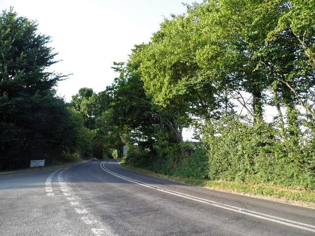
Duckmoor Copse, located in the picturesque county of Sussex, England, is a captivating woodland area that offers visitors a glimpse into the region's natural beauty. Spanning approximately 100 acres, this enchanting copse is situated in the heart of the Sussex countryside, surrounded by rolling hills and idyllic landscapes.
The copse is primarily composed of a diverse range of deciduous trees, including oak, beech, and ash, which create a rich tapestry of colors throughout the year. During the spring and summer months, the copse comes alive with a vibrant display of delicate wildflowers, such as bluebells and primroses, adding a touch of charm to the already picturesque scenery.
Walking through Duckmoor Copse, visitors can enjoy the tranquil atmosphere and immerse themselves in the peaceful sounds of nature. The copse is home to a variety of wildlife, including deer, foxes, and an array of bird species, making it a haven for nature enthusiasts and birdwatchers alike.
Several well-maintained footpaths wind their way through the copse, inviting visitors to explore its hidden nooks and crannies. These paths provide an opportunity to discover the copse's secret treasures, such as a small babbling brook or a secluded clearing perfect for a picnic.
Duckmoor Copse is easily accessible and is located a short distance from the charming village of Sussex, where visitors can find amenities such as cafes, pubs, and accommodations. Whether you are seeking a peaceful stroll, a chance to reconnect with nature, or simply a break from the hustle and bustle of everyday life, Duckmoor Copse offers a serene sanctuary in the heart of Sussex's breathtaking countryside.
If you have any feedback on the listing, please let us know in the comments section below.
Duckmoor Copse Images
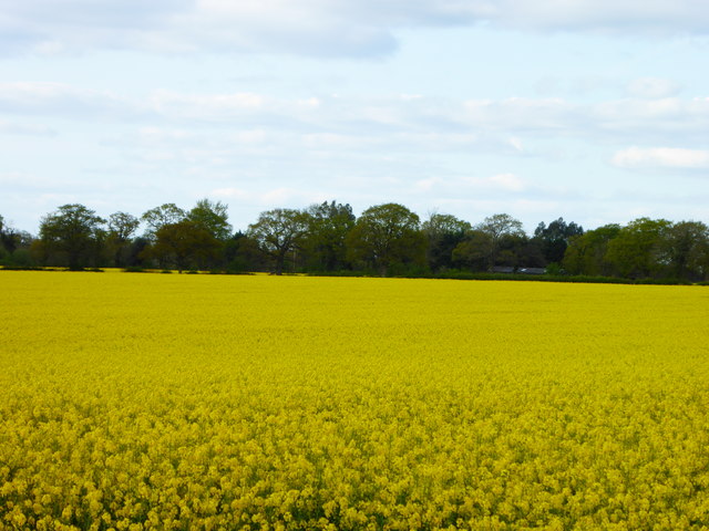
Images are sourced within 2km of 51.026129/-0.43546413 or Grid Reference TQ0926. Thanks to Geograph Open Source API. All images are credited.


Duckmoor Copse is located at Grid Ref: TQ0926 (Lat: 51.026129, Lng: -0.43546413)
Administrative County: West Sussex
District: Horsham
Police Authority: Sussex
What 3 Words
///prepare.ringside.onwards. Near Billingshurst, West Sussex
Nearby Locations
Related Wikis

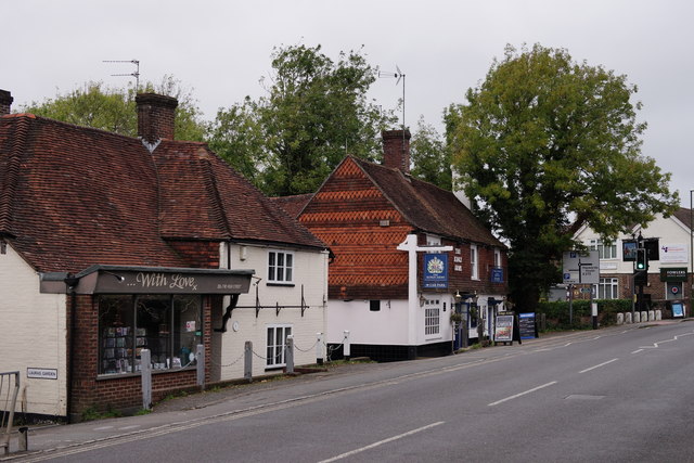
Billingshurst
Billingshurst is a village and civil parish in the Horsham District of West Sussex, England. The village lies on the A29 road (the Roman Stane Street)...

Billingshurst Unitarian Chapel
Billingshurst Unitarian Chapel is a place of worship in Billingshurst in the English county of West Sussex. The cottage-like building was erected in 1754...

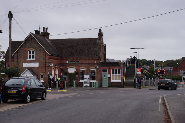
Billingshurst railway station
Billingshurst Railway Station serves the market town of Billingshurst, in West Sussex, England. It is on the Arun Valley Line 44 miles 71 chains (72.2...

Billingshurst F.C.
Billingshurst Football Club is a football club based in Billingshurst, West Sussex, England. They are currently members of the Southern Combination Division...
The Weald School
The Weald School is a coeducational secondary school and sixth form. It caters for around 1,700 pupils in years 7 to 13, including over 300 in its sixth...

Billingshurst (electoral division)
Billingshurst is an electoral division of West Sussex in the United Kingdom and returns one member to sit on West Sussex County Council. == Extent == The...

Coneyhurst Cutting
Coneyhurst Cutting is a 0.2-hectare (0.49-acre) geological Site of Special Scientific Interest south-east of Billingshurst in West Sussex. It is a Geological...

Five Oaks
Five Oaks is a large hamlet in the Horsham District of West Sussex, England. It lies about 1.7 miles (2.8 km) north of Billingshurst on the Roman road...
Nearby Amenities
Located within 500m of 51.026129,-0.43546413Have you been to Duckmoor Copse?
Leave your review of Duckmoor Copse below (or comments, questions and feedback).