Friskeys Wood

Wood, Forest in Sussex Horsham

England

Friskeys Wood

Cottage on Rowner Road, Billingshurst
Cottage on Rowner Road, Billingshurst Credit: David Howard

Friskeys Wood is a picturesque woodland located in the county of Sussex, England. It is situated in the southern part of the county, near the town of East Grinstead. Covering an area of approximately 100 acres, Friskeys Wood is a popular destination for nature lovers and outdoor enthusiasts.

The wood is predominantly composed of broad-leaved trees, including oak, beech, and ash, which create a lush and diverse ecosystem. The dense canopy provides ample shade, making it an ideal habitat for various species of birds, mammals, and insects.

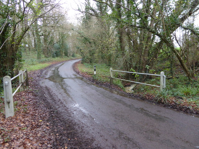
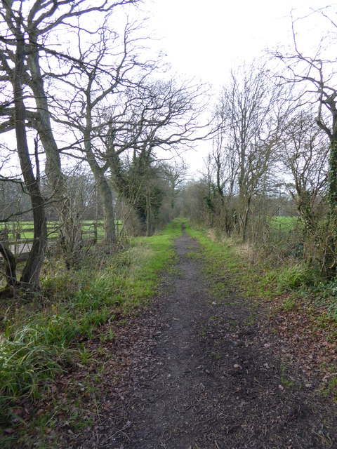
Walking through Friskeys Wood, visitors can enjoy a serene and peaceful atmosphere, away from the hustle and bustle of urban life. The woodland is crisscrossed with well-maintained footpaths and trails, allowing visitors to explore its beauty at their own pace. These paths lead through enchanting glades, tranquil ponds, and babbling brooks, creating a truly immersive experience in nature.

One of the highlights of Friskeys Wood is its vibrant wildlife. It is home to a wide range of species, including deer, badgers, foxes, and a variety of birds such as woodpeckers, owls, and warblers. Nature enthusiasts can spend hours observing and photographing these creatures in their natural habitat.

Friskeys Wood is open to the public year-round and offers ample parking facilities. It is a popular destination for families, walkers, and nature enthusiasts alike, providing a tranquil retreat where visitors can reconnect with nature and enjoy the beauty of Sussex's woodlands.

If you have any feedback on the listing, please let us know in the comments section below.

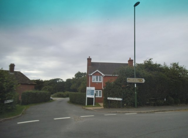
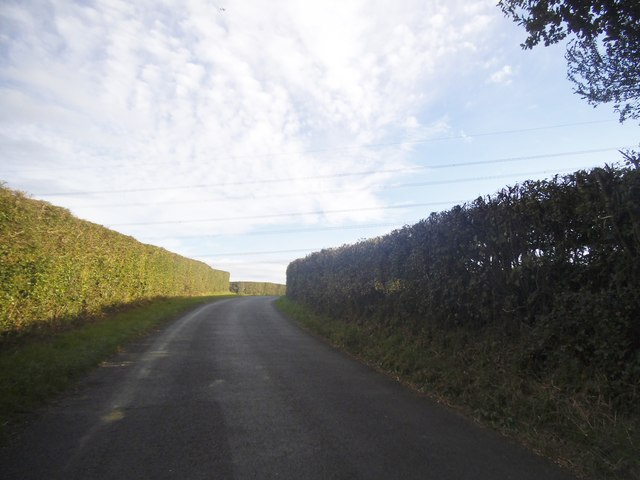
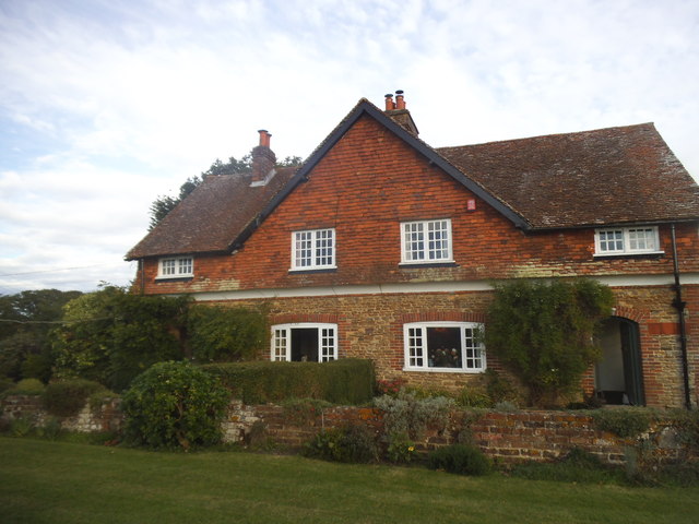
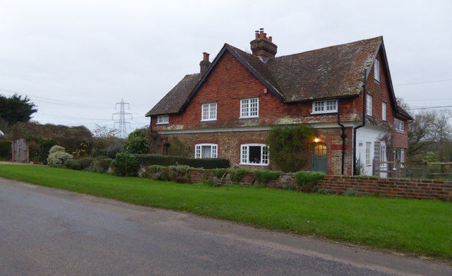
Friskeys Wood Images

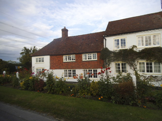
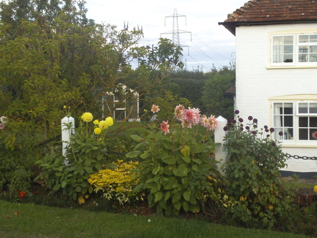
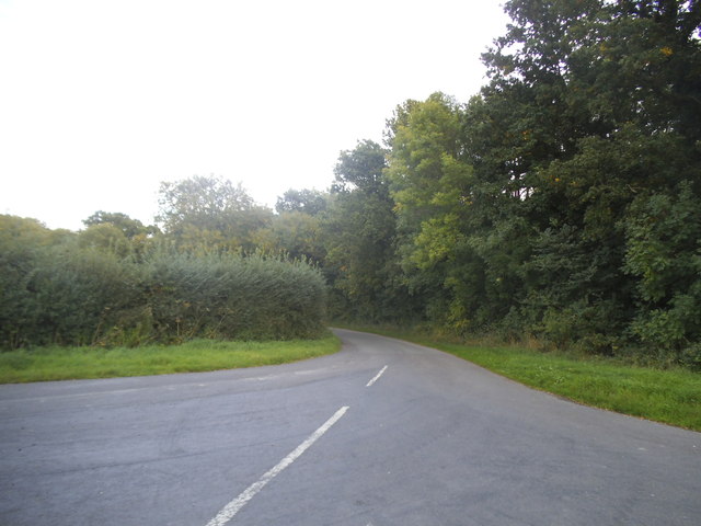
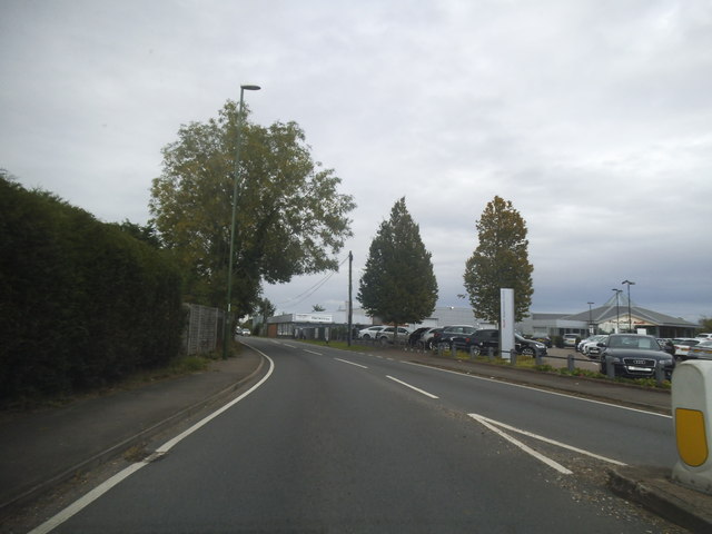
Images are sourced within 2km of 51.031061/-0.44178702 or Grid Reference TQ0926. Thanks to Geograph Open Source API. All images are credited.

Cottage on Rowner Road, Billingshurst
Cottage garden on Rowner Road
Okehurst Lane
Okehurst Lane
Stane Street looking towards Harwoods Audi garage
Ingfield Manor Drive at the junction of Stane Street
Rowner Road, Billingshurst
House on Rowner Road, Billingshurst
Cottages on Rowner Road See also <a title="https://www.geograph.org.uk/photo/4662378" href="https://www.geograph.org.uk/photo/4662378">Link</a>.
Cottages on Rowner Road
See also Link.
Houses on Rowner Road
Rowner Road bridges stream
Bed and Breakfast at Five Oaks Farm See <a title="https://www.geograph.org.uk/photo/1594129" href="https://www.geograph.org.uk/photo/1594129">Link</a> from 2009.
Bed and Breakfast at Five Oaks Farm
See Link from 2009.
Bridleway goes west from Five Oaks Farm
Bridleway going east through Ingfield Manor School
A272 approaching Billingshurst The A272 is a very rural A road, which follows an east to west route from near Heathfield to Winchester, passing through the Sussex countryside. It runs 86 miles from Sutton Scotney to Five Ashes <a href="https://www.geograph.org.uk/photo/6669405">TQ5523 : A267, A272 junction</a>.
<span class="nowrap"><a title="http://www.sabre-roads.org.uk/wiki/index.php?title=A272" rel="nofollow ugc noopener" href="http://www.sabre-roads.org.uk/wiki/index.php?title=A272">Link</a><img style="margin-left:2px;" alt="External link" title="External link - shift click to open in new window" src="https://s1.geograph.org.uk/img/external.png" width="10" height="10"/></span> 
Wikipedia: <span class="nowrap"><a title="http://en.wikipedia.org/wiki/A272_road" rel="nofollow ugc noopener" href="http://en.wikipedia.org/wiki/A272_road">Link</a><img style="margin-left:2px;" alt="External link" title="External link - shift click to open in new window" src="https://s1.geograph.org.uk/img/external.png" width="10" height="10"/></span>
A272 approaching Billingshurst
The A272 is a very rural A road, which follows an east to west route from near Heathfield to Winchester, passing through the Sussex countryside. It runs 86 miles from Sutton Scotney to Five Ashes TQ5523 : A267, A272 junction. LinkExternal link Wikipedia: LinkExternal link
Mole Country Stores Mole Country Stores have 36 retail stores throughout the country selling a comprehensive range of farming and rural products including equestrian supplies and clothing, a pet section, casual and workwear clothing and household and gardening products.
Website: <span class="nowrap"><a title="http://molecountrystores.co.uk/" rel="nofollow ugc noopener" href="http://molecountrystores.co.uk/">Link</a><img style="margin-left:2px;" alt="External link" title="External link - shift click to open in new window" src="https://s1.geograph.org.uk/img/external.png" width="10" height="10"/></span>
Mole Country Stores
Mole Country Stores have 36 retail stores throughout the country selling a comprehensive range of farming and rural products including equestrian supplies and clothing, a pet section, casual and workwear clothing and household and gardening products. Website: LinkExternal link
Field of oil seed rape at Pratt's Farm
Pylon in a field at Hilland Farm
Billingshurst Railway Station Billingshurst Railway Station and the Railway Inn.
Billingshurst Railway Station
Billingshurst Railway Station and the Railway Inn.
Show me another place!

Friskeys Wood is located at Grid Ref: TQ0926 (Lat: 51.031061, Lng: -0.44178702)

Administrative County: West Sussex

District: Horsham

Police Authority: Sussex

What 3 Words

///slicing.lateral.committee. Near Billingshurst, West Sussex

Related Wikis

Billingshurst

Billingshurst is a village and civil parish in the Horsham District of West Sussex, England. The village lies on the A29 road (the Roman Stane Street)...

Billingshurst F.C.

Billingshurst Football Club is a football club based in Billingshurst, West Sussex, England. They are currently members of the Southern Combination Division...

Billingshurst Unitarian Chapel

Billingshurst Unitarian Chapel is a place of worship in Billingshurst in the English county of West Sussex. The cottage-like building was erected in 1754...

Five Oaks

Five Oaks is a large hamlet in the Horsham District of West Sussex, England. It lies about 1.7 miles (2.8 km) north of Billingshurst on the Roman road...

Coppedhall Hanger

Coppedhall Hanger is a 0.6-hectare (1.5-acre) geological Site of Special Scientific Interest north of Billingshurst in West Sussex. It is a Geological...

The Weald School

The Weald School is a coeducational secondary school and sixth form. It caters for around 1,700 pupils in years 7 to 13, including over 300 in its sixth...

Billingshurst railway station

Billingshurst Railway Station serves the market town of Billingshurst, in West Sussex, England. It is on the Arun Valley Line 44 miles 71 chains (72.2...

The Haven, West Sussex

The Haven is a rural hamlet in West Sussex, south east England located about 7 miles to the west of Horsham.The Haven is primarily an agricultural area...

Nearby Amenities

Located within 500m of 51.031061,-0.44178702
Bus Stop
Sothebys
Bus: yes
Naptan AtcoCode: 4400HR0134
Naptan Bearing: NE
Naptan CommonName: Sothebys
Naptan Indicator: opp Sothebys
Naptan Landmark: Sotheby's
Naptan NaptanCode: wsxatmgj
Naptan Street: A29
Naptan Verified: no
Public Transport: platform
Source: naptan_import
Lat/Long: 51.034131/-0.4432172
Bus Stop
A29 Barns Green Junction
Bus: yes
Naptan AtcoCode: 4400HR0135
Naptan Bearing: SW
Naptan CommonName: A29 Barns Green Junction
Naptan Indicator: adj New Road
Naptan Landmark: New Road
Naptan NaptanCode: wsxatmgm
Naptan Street: A29
Naptan Verified: no
Public Transport: platform
Source: naptan_import
Lat/Long: 51.0293033/-0.446662
Bus Stop
A29 New Road
Bench: no
Bus: yes
Naptan AtcoCode: 4400HR0136
Naptan Bearing: S
Naptan CommonName: A29 New Road
Naptan Indicator: opp New Road
Naptan Landmark: New Road
Naptan NaptanCode: wsxatmgp
Naptan Street: A29
Naptan Verified: yes
Note: may have a new name since the ind estate has been built
Public Transport: platform
Shelter: no
Source: naptan_import
Lat/Long: 51.0298556/-0.4464157
Power: tower
Lat/Long: 51.0296057/-0.4459217
Power: tower
Lat/Long: 51.027651/-0.4418594
Summers Place
Place: isolated_dwelling
Lat/Long: 51.033701/-0.4401479
Summers Place Auctions
Shop: yes
Lat/Long: 51.0329393/-0.4399479
Crossing
Lat/Long: 51.0267884/-0.4409113
Hilland Farm
Place: farm
Lat/Long: 51.0283096/-0.4455765
The data included in this document is from www.openstreetmap.org. The data is made available under ODbL.

Have you been to Friskeys Wood?

Leave your review of Friskeys Wood below (or comments, questions and feedback).