Eel Pie Island

Settlement in Middlesex

England

Eel Pie Island

'Mayflower' passing North Sheen level crossing Thompson B1 4-6-0 No. 61306 'Mayflower' passing over North Sheen level crossing with the afternoon 'Royal Windsor Steam Express' en route from Victoria to Windsor & Eton Riverside.  This is the second of two trips to Windsor this day, in the evening there was a 'Sunset Steam Express' from Victoria to Chertsey returning via Guildford and Croydon.
'Mayflower' passing North Sheen level crossing Credit: Bob Walters

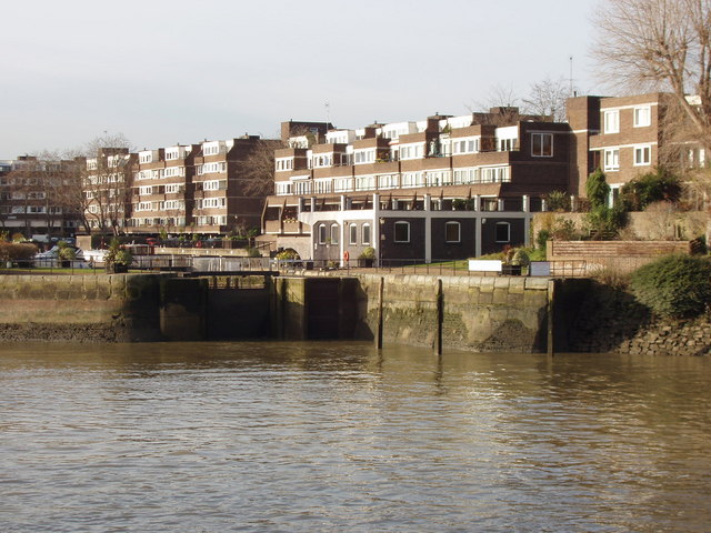
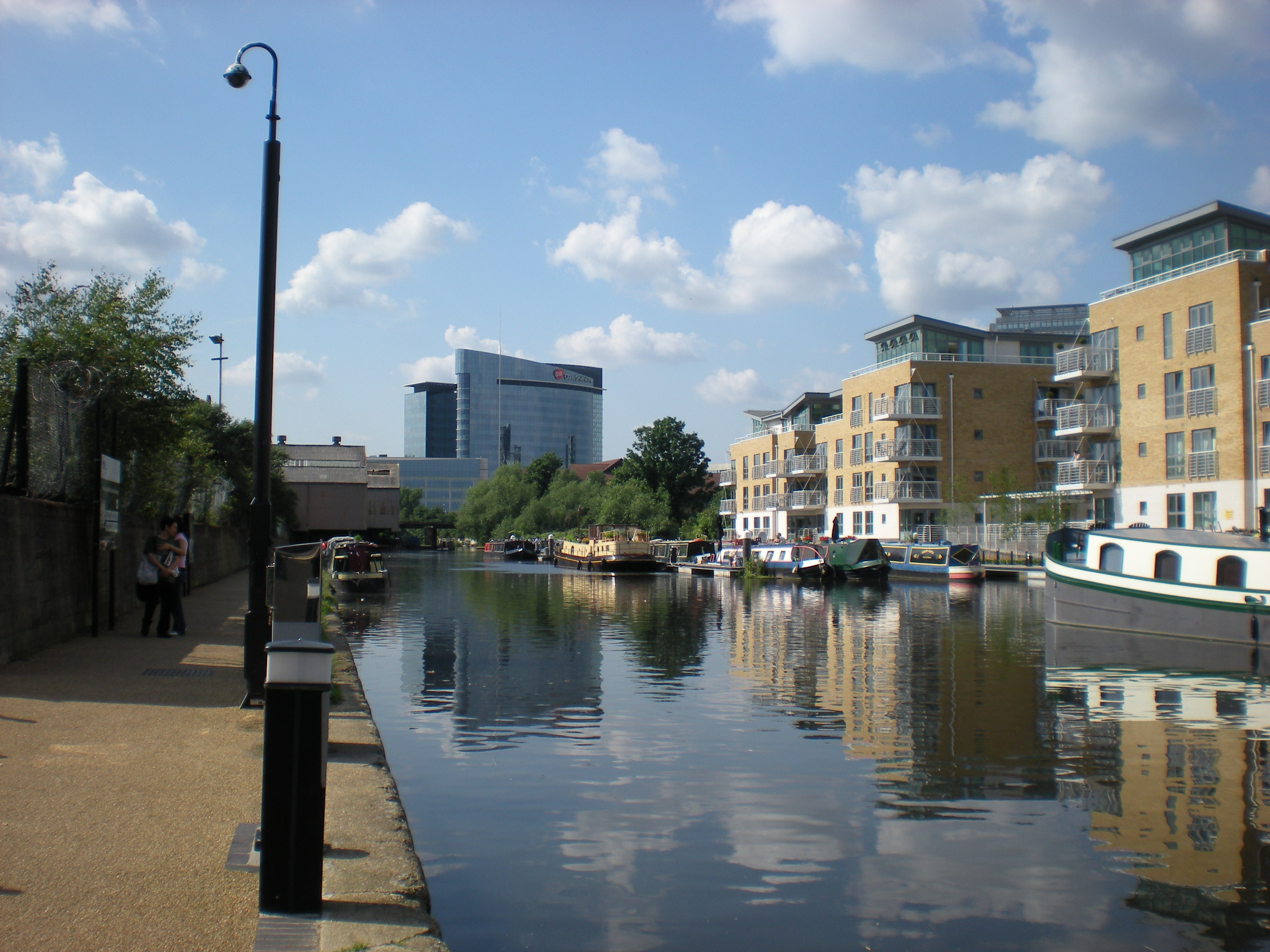
Eel Pie Island is a small island located in the River Thames in Middlesex, England. It is situated in the borough of Richmond upon Thames, approximately 10 miles southwest of central London. The island has a rich history and is known for its association with music, art, and its unique bohemian atmosphere.

The island is accessible via a footbridge from the Twickenham Embankment, providing a tranquil escape from the bustling city. Eel Pie Island is approximately 500 meters long and 100 meters wide, with a mix of residential and commercial properties.

In the early 19th century, the island gained popularity as a recreational spot, attracting visitors who enjoyed its natural beauty and the opportunity to indulge in eel pies, hence its name. However, it was during the 20th century that Eel Pie Island became an iconic music venue.

From the 1950s to the 1960s, the Eel Pie Island Hotel hosted renowned jazz and blues performances, attracting famous musicians like The Rolling Stones, Eric Clapton, and The Who. It became a hub for the emerging British rhythm and blues scene, contributing to the development of British rock music.

Today, Eel Pie Island remains a vibrant artistic community, with many of its residents being artists, musicians, and craftsmen. The island hosts regular open studio events, allowing visitors to explore the creative works and unique character of the island.

With its rich musical history and bohemian ambiance, Eel Pie Island continues to be a hidden gem along the River Thames, offering a glimpse into the artistic heritage of Middlesex.

If you have any feedback on the listing, please let us know in the comments section below.

Eel Pie Island Images

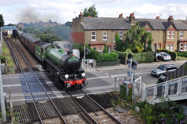
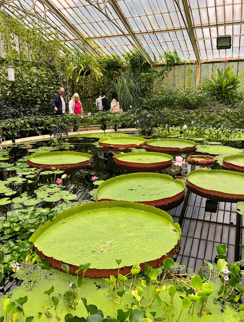
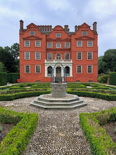
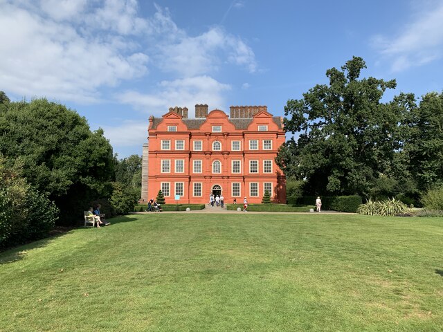
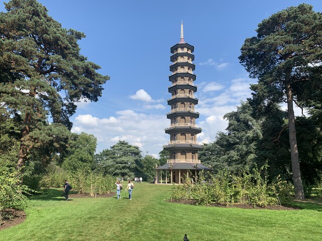
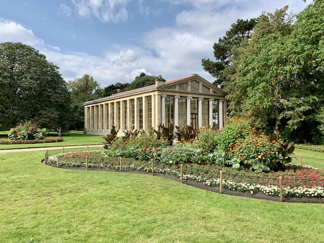
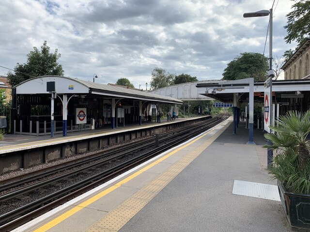
Images are sourced within 2km of 51.479659/-0.3021659 or Grid Reference TQ1877. Thanks to Geograph Open Source API. All images are credited.

'Mayflower' passing North Sheen level crossing Thompson B1 4-6-0 No. 61306 'Mayflower' passing over North Sheen level crossing with the afternoon 'Royal Windsor Steam Express' en route from Victoria to Windsor & Eton Riverside.  This is the second of two trips to Windsor this day, in the evening there was a 'Sunset Steam Express' from Victoria to Chertsey returning via Guildford and Croydon.
'Mayflower' passing North Sheen level crossing
Thompson B1 4-6-0 No. 61306 'Mayflower' passing over North Sheen level crossing with the afternoon 'Royal Windsor Steam Express' en route from Victoria to Windsor & Eton Riverside. This is the second of two trips to Windsor this day, in the evening there was a 'Sunset Steam Express' from Victoria to Chertsey returning via Guildford and Croydon.
Colourful bedding at Kew One of the less botanical, and more overtly ornamental, displays in the Royal Botanic Gardens - a circle of imapatiens plants, with the Palm House in the background.
Colourful bedding at Kew
One of the less botanical, and more overtly ornamental, displays in the Royal Botanic Gardens - a circle of imapatiens plants, with the Palm House in the background.
Waterlily House, Kew The small, square glasshouse at the Royal Botanic Gardens <span class="nowrap"><a title="https://www.kew.org/kew-gardens/whats-in-the-gardens/waterlily-house" rel="nofollow ugc noopener" href="https://www.kew.org/kew-gardens/whats-in-the-gardens/waterlily-house">Link</a><img style="margin-left:2px;" alt="External link" title="External link - shift click to open in new window" src="https://s1.geograph.org.uk/img/external.png" width="10" height="10"/></span>  designed specifically to showcase the giant Amazon waterlily (Victoria amazonica).

It was completed in 1852 and is now a listed building, filled with aquatic plants and tropical fruit.
Waterlily House, Kew
The small, square glasshouse at the Royal Botanic Gardens LinkExternal link designed specifically to showcase the giant Amazon waterlily (Victoria amazonica). It was completed in 1852 and is now a listed building, filled with aquatic plants and tropical fruit.
Richmond Station Art Deco-style station building on Kew Road. The frontage here dates from 1937 and is on the London Overground, the Underground District Line, and the South Western Railway Waterloo to Reading line.
Richmond Station
Art Deco-style station building on Kew Road. The frontage here dates from 1937 and is on the London Overground, the Underground District Line, and the South Western Railway Waterloo to Reading line.
Kew Palace Seen from the parterre garden at the rear, this remnant of a much larger complex is also known as the Dutch House, now within the grounds of the Royal Botanic Gardens. Dating from 1631 but built over the undercroft of an earlier building, it was a royal residence from 1728 to 1818, with a final short-lived occupation in 1844. It is Grade I listed, and open to visitors.
Kew Palace
Seen from the parterre garden at the rear, this remnant of a much larger complex is also known as the Dutch House, now within the grounds of the Royal Botanic Gardens. Dating from 1631 but built over the undercroft of an earlier building, it was a royal residence from 1728 to 1818, with a final short-lived occupation in 1844. It is Grade I listed, and open to visitors.
Old Milestone, A307, Kew Road, opposite Holmesdale Road The milestone is located on the West side of the road on the front edge of the pavement. Parish of Richmond Upon Thames (Richmond Upon Thames District). Carved stone post, Richmond stone design, erected by the Kensington to Cranford Bridge turnpike trust in the 19th century.

Inscription reads:-   VII / MILES / FROM / HYDE PARK / CORNER

Grade II listed by Historic England, List Entry Number:  1357698 <span class="nowrap"><a title="https://historicengland.org.uk/listing/the-list/list-entry/1357698" rel="nofollow ugc noopener" href="https://historicengland.org.uk/listing/the-list/list-entry/1357698">Link</a><img style="margin-left:2px;" alt="External link" title="External link - shift click to open in new window" src="https://s1.geograph.org.uk/img/external.png" width="10" height="10"/></span>

The image was taken before 2010

Milestone Society National ID: SY_LNRM07
Old Milestone, A307, Kew Road, opposite Holmesdale Road
The milestone is located on the West side of the road on the front edge of the pavement. Parish of Richmond Upon Thames (Richmond Upon Thames District). Carved stone post, Richmond stone design, erected by the Kensington to Cranford Bridge turnpike trust in the 19th century. Inscription reads:- VII / MILES / FROM / HYDE PARK / CORNER Grade II listed by Historic England, List Entry Number: 1357698 LinkExternal link The image was taken before 2010 Milestone Society National ID: SY_LNRM07
Kew Palace Grade I listed. Listing number 1263073. Dating from 1631. Built by Samuel Fortrey a Flemish merchant whose initials with those of his wife are above the door.
Kew Palace
Grade I listed. Listing number 1263073. Dating from 1631. Built by Samuel Fortrey a Flemish merchant whose initials with those of his wife are above the door.
The Pagoda, Kew Gardens Grade I listed. Listing number 1262593. Built 1761-2 by Sir William Chambers. Grey stock brick. Ten storeys high (163 ft). Octagonal. Each of the upper storeys arcaded and balconied with "Chippendale" Chinese style railing all round, painted in Chinese red on the balcony projections. Each storey sheltered by roofed coving, also painted red. Ring of timber posts support slated roof to ground storey. The Pagoda roof originally of glazed tiles but is now leaded
The Pagoda, Kew Gardens
Grade I listed. Listing number 1262593. Built 1761-2 by Sir William Chambers. Grey stock brick. Ten storeys high (163 ft). Octagonal. Each of the upper storeys arcaded and balconied with "Chippendale" Chinese style railing all round, painted in Chinese red on the balcony projections. Each storey sheltered by roofed coving, also painted red. Ring of timber posts support slated roof to ground storey. The Pagoda roof originally of glazed tiles but is now leaded
Aroid House, Kew Gardens Grade II* listed. Listing number 1250800. By John Nash, originally one of the two pavilions flanking the Garden Facade of Buckingham Palace. It has glass walls with square Tuscan piers along the sides and six Ionic columns in antis along the fronts. Pediments and roof mostly glazed. North wall blind. Re-erected in this position in 1836.
Aroid House, Kew Gardens
Grade II* listed. Listing number 1250800. By John Nash, originally one of the two pavilions flanking the Garden Facade of Buckingham Palace. It has glass walls with square Tuscan piers along the sides and six Ionic columns in antis along the fronts. Pediments and roof mostly glazed. North wall blind. Re-erected in this position in 1836.
Kew Gardens railway station Grade II listed. Listing number 1031878. Built 1868-9 for the London and South Western Railway.
Kew Gardens railway station
Grade II listed. Listing number 1031878. Built 1868-9 for the London and South Western Railway.
Syon Lane station On the so-called Hounslow Loop.

The photo was taken in a brief sunny spell on an afternoon in late October.
Syon Lane station
On the so-called Hounslow Loop. The photo was taken in a brief sunny spell on an afternoon in late October.
The British Pullman at North Sheen Bulleid pacific No. 35028 'Clan Line' on the level crossing at North Sheen with the 'British Pullman' dining train.
The British Pullman at North Sheen
Bulleid pacific No. 35028 'Clan Line' on the level crossing at North Sheen with the 'British Pullman' dining train.
Hercules Fountain, Kew Gardens Providing a focal feature in the pond, the bronze statue of Hercules wrestles with the Greek river god Achelous in the form of a serpent.  It is part of the Royal Collection and has had a peripatectic existence since being acquired by King George IV in 1829. It has been at Kew since 1961.
Hercules Fountain, Kew Gardens
Providing a focal feature in the pond, the bronze statue of Hercules wrestles with the Greek river god Achelous in the form of a serpent. It is part of the Royal Collection and has had a peripatectic existence since being acquired by King George IV in 1829. It has been at Kew since 1961.
The Botanical Brasserie The 3,300 sq ft café is located in the historic 19th-century building formerly known as Museum No.1, and features a terrace overlooking the Palm House Conservatory and pond, as well as a bar and private dining room. 

The cafe is the fifth outlet run by caterer Peyton and Byrne and the first all-day table service café in Kew Gardens.


The predominantly plant-based British menu, created by executive chef Lawrence Keogh (formerly of The Wolseley), reflects the location and puts emphasis on natural, seasonal ingredients.
The Botanical Brasserie
The 3,300 sq ft café is located in the historic 19th-century building formerly known as Museum No.1, and features a terrace overlooking the Palm House Conservatory and pond, as well as a bar and private dining room. The cafe is the fifth outlet run by caterer Peyton and Byrne and the first all-day table service café in Kew Gardens. The predominantly plant-based British menu, created by executive chef Lawrence Keogh (formerly of The Wolseley), reflects the location and puts emphasis on natural, seasonal ingredients.
Jay (Garrulus glandarius) on magnolia, Kew Gardens The barred  electric blue and darker blue stripes on the wing are evident. The bird sat in the tree while people walked by admiring magnolia blossom.
Jay (Garrulus glandarius) on magnolia, Kew Gardens
The barred electric blue and darker blue stripes on the wing are evident. The bird sat in the tree while people walked by admiring magnolia blossom.
Magnolias in full bloom, Kew Gardens Magnolias in West London in general have profuse blossom this year, it even makes driving along the North Circular a pleasure. Kew Gardens has an excellent display.
Magnolias in full bloom, Kew Gardens
Magnolias in West London in general have profuse blossom this year, it even makes driving along the North Circular a pleasure. Kew Gardens has an excellent display.
Grove of magnolias in bloom, Kew Gardens See also <a href="https://www.geograph.org.uk/photo/7122226">TQ1877 : Magnolias in full bloom, Kew Gardens</a> taken just before. Geograph has other photos over the years of these spectacular trees, e.g. <a href="https://www.geograph.org.uk/photo/1220669">TQ1877 : Magnolia bud in Kew Gardens</a> and <a href="https://www.geograph.org.uk/photo/3433175">TQ1877 : Magnolias</a>.
Grove of magnolias in bloom, Kew Gardens
See also TQ1877 : Magnolias in full bloom, Kew Gardens taken just before. Geograph has other photos over the years of these spectacular trees, e.g. TQ1877 : Magnolia bud in Kew Gardens and TQ1877 : Magnolias.
Yoshino cherry blossom by Kew Gardens palm house A gift of 35 cherry blossom trees from Gifu Sakura no Kai (Gifu Cherry Blossoms Association) to promote peace and friendship between Japan and UK, planted May 2017.
Yoshino cherry blossom by Kew Gardens palm house
A gift of 35 cherry blossom trees from Gifu Sakura no Kai (Gifu Cherry Blossoms Association) to promote peace and friendship between Japan and UK, planted May 2017.
Show me another place!

Eel Pie Island is located at Grid Ref: TQ1877 (Lat: 51.479659, Lng: -0.3021659)

Unitary Authority: Richmond upon Thames

Police Authority: Metropolitan

What 3 Words

///almost.blast.really. Near Brentford, London

Related Wikis

Brentford Dock

Brentford Dock in Brentford, west London, was a major trans-shipment point between the Great Western Railway (GWR) and barges on the River Thames. The...

River Brent

The River Brent is a river in west and northwest London, England, and a tributary of the River Thames. 17.9 miles (28.8 km) in length, it rises in the...

Cnut the Great's invasion of England

In the autumn of 1016, the Danish prince Cnut the Great (Canute) successfully invaded England. Cnut's father, Sweyn Forkbeard, had previously conquered...

Battle of Brentford (1016)

The Battle of Brentford was fought in 1016 between invading forces of the Kingdom of Denmark under Cnut and the defending forces of the Kingdom of England...

Nearby Amenities

Located within 500m of 51.479659,-0.3021659
Source: PGS
Lat/Long: 51.4825417/-0.2984816
Source: PGS
Lat/Long: 51.4821239/-0.2989551
Source: PGS
Lat/Long: 51.4818752/-0.2992635
Source: PGS
Lat/Long: 51.4815492/-0.2996774
Source: PGS
Lat/Long: 51.4811864/-0.3001322
Source: PGS
Lat/Long: 51.4809787/-0.3003989
Source: PGS
Lat/Long: 51.4807467/-0.3006889
Source: PGS
Lat/Long: 51.4804595/-0.3010581
Source: PGS
Lat/Long: 51.4802278/-0.3013765
Source: PGS
Lat/Long: 51.480098/-0.3015525
Source: PGS
Lat/Long: 51.4799121/-0.3018176
Source: PGS
Lat/Long: 51.4796475/-0.3021179
Source: PGS
Lat/Long: 51.4794253/-0.3023861
Source: PGS
Lat/Long: 51.4792602/-0.3025912
Source: PGS
Lat/Long: 51.4790459/-0.3028076
Source: PGS
Lat/Long: 51.4788433/-0.3030115
Source: PGS
Lat/Long: 51.4784171/-0.3034384
Source: PGS
Lat/Long: 51.4779844/-0.3038568
Source: PGS
Lat/Long: 51.4778029/-0.3040278
Source: PGS
Lat/Long: 51.4775797/-0.3042403
Source: PGS
Lat/Long: 51.4772955/-0.3045033
Source: PGS
Lat/Long: 51.4768977/-0.3048327
Source: PGS
Lat/Long: 51.4764281/-0.3052585
Source: PGS
Lat/Long: 51.4758798/-0.3057786
Seamark Type: gate
Waterway: lock_gate
Lat/Long: 51.483421/-0.3001175
Bus Stop
Natural Area
Bus: yes
Public Transport: platform
Ref: 4
Wheelchair: yes
Lat/Long: 51.4758209/-0.304253
Bus Stop
Brentford Gate
Bus: yes
Public Transport: platform
Ref: 5
Wheelchair: yes
Lat/Long: 51.4813113/-0.297556
Bamboo Garden
Leisure: garden
Name Ru: Бамбуковый сад
Lat/Long: 51.4784188/-0.3007569
Toilets
Created By: Potlatch 0.6a
Wheelchair: yes
Lat/Long: 51.4815655/-0.2978537
Seamark Type: gate
Waterway: lock_gate
Lat/Long: 51.4819239/-0.3008947
Azalea Garden
Leisure: garden
Lat/Long: 51.4790025/-0.2975504
Created By: Potlatch 0.6a
Tourism: information
Lat/Long: 51.4822386/-0.2981695
Waterway: weir
Lat/Long: 51.4823069/-0.305093
Waterway: lock_gate
Lat/Long: 51.4821252/-0.304827
Waterway: lock_gate
Lat/Long: 51.4821914/-0.3044102
Mini Roundabout
Direction: clockwise
Lat/Long: 51.4838752/-0.3030375
Man Made: surveillance
Lat/Long: 51.481591/-0.307638
Drinking Water
Lat/Long: 51.4785037/-0.2973462
Rhododendron Dell
Leisure: garden
Name Ru: Участок рододендронов
Lat/Long: 51.4795538/-0.3003275
Waterway: lock_gate
Lat/Long: 51.4822127/-0.3048809
Waterway: lock_gate
Lat/Long: 51.48228/-0.3044506
Bench
Lat/Long: 51.4838242/-0.3041864
Street Lamp
Lat/Long: 51.4837212/-0.3051783
Barrier: bollard
Material: metal
Lat/Long: 51.4837544/-0.3048708
Barrier: bollard
Material: metal
Lat/Long: 51.4837676/-0.3048175
Barrier: bollard
Material: metal
Lat/Long: 51.4837813/-0.304763
Barrier: bollard
Material: metal
Lat/Long: 51.4837963/-0.3047113
Barrier: bollard
Material: metal
Lat/Long: 51.483812/-0.304659
Barrier: bollard
Material: metal
Lat/Long: 51.4838438/-0.304555
Barrier: bollard
Material: metal
Lat/Long: 51.4838597/-0.304507
Barrier: bollard
Material: metal
Lat/Long: 51.4838762/-0.304455
Street Lamp
Lat/Long: 51.4838343/-0.3042452
Street Lamp
Lat/Long: 51.4839223/-0.3039941
Street Lamp
Lat/Long: 51.4840201/-0.3037306
Waste Basket
Lat/Long: 51.4758845/-0.3016849
Waste Basket
Lat/Long: 51.4772193/-0.2966982
Bench
Source: gps+mapnoter
Lat/Long: 51.4764091/-0.3048748
Bench
Source: gps+mapnoter
Lat/Long: 51.4767279/-0.3045344
Bench
Source: gps+mapnoter
Lat/Long: 51.4766952/-0.3045622
Bench
Source: gps+mapnoter
Lat/Long: 51.4760716/-0.3054889
Bench
Source: gps+mapnoter
Lat/Long: 51.4765916/-0.3046734
Bench
Source: gps+mapnoter
Lat/Long: 51.4763657/-0.3049014
Bench
Source: gps+mapnoter
Lat/Long: 51.4763891/-0.3051665
Bench
Source: gps+mapnoter
Lat/Long: 51.4767705/-0.3044976
Bench
Source: gps+mapnoter
Lat/Long: 51.4765764/-0.3046956
Bench
Source: gps+mapnoter
Lat/Long: 51.4766317/-0.3046359
Bench
Source: gps+mapnoter
Lat/Long: 51.4764575/-0.3048319
Bench
Source: gps+mapnoter
Lat/Long: 51.4764976/-0.3047917
Bench
Source: gps+mapnoter
Lat/Long: 51.4766535/-0.3046051
Woodland House
Building: yes
Building Levels: 1
Layer: 1
Material: wood
Source: survey
Lat/Long: 51.4752761/-0.3028565
Mooring: commercial
Operator: Port of London Authority
Seamark Mooring Category: buoy
Seamark Type: mooring
Lat/Long: 51.4790232/-0.3039979
Mooring: commercial
Operator: Port of London Authority
Seamark Mooring Category: buoy
Seamark Type: mooring
Lat/Long: 51.4787486/-0.3042727
Information: guidepost
Tourism: information
Lat/Long: 51.4838339/-0.3005759
Flora's Column
HE Ref: 1080321
Artwork Type: statue
Heritage: 2
Heritage Operator: Historic England
Heritage Operator Wikidata: Q19604421
Heritage Website: https://historicengland.org.uk/listing/the-list/list-entry/1080321
Listed Status: Grade I
Ref GB Nhle: 1080321
Tourism: artwork
Wikidata: Q17527787
Wikimedia Commons: File:Syon House Gardens Statue.JPG
Lat/Long: 51.4805321/-0.3085099
Log trail & Giant badger sett
Tourism: attraction
Wheelchair: no
Lat/Long: 51.4754254/-0.3036052
Toilets
Changing Table: yes
Fee: no
Wheelchair: yes
Lat/Long: 51.4821817/-0.296267
Bus Stop
Brentford County Court
Bench: yes
Bus: yes
Local Ref: BK
Naptan AtcoCode: 490004289E
Naptan Bearing: N
Naptan CommonName: Brentford County Court
Naptan Indicator: BK
Naptan Street: BRENTFORD HIGH STREET
Naptan Verified: no
Public Transport: platform
Ref: 75333
Shelter: yes
Lat/Long: 51.4838505/-0.3040981
Parking
Access: private
Capacity: 500
Operator: Ballymore
Parking: multi-storey
Lat/Long: 51.4833689/-0.3047908
Bench
Lat/Long: 51.476144/-0.3002631
Bench
Lat/Long: 51.4761445/-0.3005489
Bench
Lat/Long: 51.4759346/-0.3018149
Bench
Lat/Long: 51.4759479/-0.30177
Bench
Lat/Long: 51.4759429/-0.3015775
Bicycle Parking
Bicycle Parking: stands
Capacity: 6
Covered: no
Lat/Long: 51.4823469/-0.2982552
Bicycle Parking
Bicycle Parking: stands
Capacity: 8
Covered: no
Lat/Long: 51.4824267/-0.2983762
Bicycle Parking
Bicycle Parking: stands
Capacity: 24
Covered: yes
Lat/Long: 51.4825009/-0.2983144
Waste Basket
Lat/Long: 51.4762513/-0.3048764
Bench
Lat/Long: 51.4765319/-0.3047425
Information: guidepost
Tourism: information
Lat/Long: 51.4759482/-0.3051519
Waste Basket
Lat/Long: 51.4757927/-0.3041704
Information: guidepost
Tourism: information
Lat/Long: 51.4757946/-0.3041926
Drinking Water
Lat/Long: 51.4758089/-0.3043276
Waste Basket
Lat/Long: 51.4756576/-0.3030237
Information: map
Tourism: information
Lat/Long: 51.4756565/-0.3029899
Information: guidepost
Tourism: information
Lat/Long: 51.4756665/-0.3023076
Information: guidepost
Tourism: information
Lat/Long: 51.4765331/-0.2992174
Bench
Lat/Long: 51.4764224/-0.2990913
Bench
Backrest: yes
Lat/Long: 51.4766725/-0.2993809
Bench
Backrest: yes
Lat/Long: 51.4766493/-0.2995142
Bench
Backrest: yes
Lat/Long: 51.4773753/-0.2998056
Bench
Backrest: yes
Lat/Long: 51.4773853/-0.2997772
Bench
Backrest: yes
Lat/Long: 51.4773665/-0.2998927
Bench
Backrest: yes
Lat/Long: 51.4773676/-0.2999229
Bench
Backrest: yes
Lat/Long: 51.4773266/-0.2997292
Bench
Backrest: yes
Lat/Long: 51.4773344/-0.2996972
Information: guidepost
Tourism: information
Lat/Long: 51.4784953/-0.297185
Information: guidepost
Tourism: information
Lat/Long: 51.4788973/-0.2958185
Information: guidepost
Tourism: information
Lat/Long: 51.4781361/-0.2993176
Information: map
Tourism: information
Lat/Long: 51.4812525/-0.2965487
Information: guidepost
Tourism: information
Lat/Long: 51.4813588/-0.2972994
Information: guidepost
Tourism: information
Lat/Long: 51.4817879/-0.2981047
Waste Basket
Lat/Long: 51.4818415/-0.2981348
Information: guidepost
Tourism: information
Lat/Long: 51.4818192/-0.2981693
Bench
Lat/Long: 51.4820176/-0.2981176
Drinking Water
Lat/Long: 51.482208/-0.2981865
Information: map
Tourism: information
Lat/Long: 51.4821973/-0.2982583
Bench
Lat/Long: 51.482124/-0.2981822
Information: guidepost
Tourism: information
Lat/Long: 51.4804097/-0.3000078
Waste Basket
Lat/Long: 51.4803882/-0.3000379
Information: guidepost
Tourism: information
Lat/Long: 51.4791518/-0.3014256
Information: map
Tourism: information
Lat/Long: 51.4778279/-0.3028247
Information: guidepost
Tourism: information
Lat/Long: 51.4787183/-0.3014288
Bench
Lat/Long: 51.4787713/-0.3013877
Bench
Lat/Long: 51.478817/-0.3013554
Information: guidepost
Tourism: information
Lat/Long: 51.4795539/-0.2990788
Bench
Lat/Long: 51.478725/-0.2981255
Stark Uberoi
Addr Housenumber: 79
Addr Postcode: TW8 8AE
Addr Street: Brentford High Street
Office: lawyer
Phone: +44 20 8840 6640
Website: https://www.starckuberoi.co.uk
Lat/Long: 51.4834938/-0.3054637
Operator: Port of London Authority
Seamark Buoy Lateral Category: port
Seamark Buoy Lateral Colour: red
Seamark Buoy Lateral Shape: can
Seamark Buoy Lateral System: iala-a
Seamark Light Character: Fl
Seamark Light Colour: red
Seamark Type: buoy_lateral
Lat/Long: 51.4767995/-0.305376
Mooring: commercial
Operator: Port of London Authority
Seamark Mooring Category: buoy
Seamark Type: mooring
Lat/Long: 51.4799855/-0.3028207
Operator: Port of London Authority
Seamark Mooring Category: buoy
Seamark Type: mooring
Lat/Long: 51.4797801/-0.3030191
Operator: Port of London Authority
Seamark Mooring Category: buoy
Seamark Type: mooring
Lat/Long: 51.4796163/-0.3032725
Operator: Port of London Authority
Seamark Mooring Category: buoy
Seamark Type: mooring
Lat/Long: 51.4795597/-0.3033419
Cafe
Rye on the Water
Opening Hours: We-Su 09:00-15:00
Lat/Long: 51.4822223/-0.3060514
Fast Food
Santa Maria
Cuisine: pizza
Lat/Long: 51.4824904/-0.3066851
The Children's Garden
Tourism: attraction
Lat/Long: 51.4819292/-0.2960438
Defibrillator
Access: yes
Defibrillator Location: Attached to building wall, North side of road
Emergency: defibrillator
Level: 0
Wheelchair: yes
Lat/Long: 51.4817317/-0.3038073
Post Box
Collection Times: Mo-Fr 09:00; Sa 07:00
Operator: Royal Mail
Operator Wikidata: Q638098
Post Box Type: pillar
Ref: TW8 222D
Royal Cypher: EIIR
Royal Cypher Wikidata: Q33102113
Lat/Long: 51.4817246/-0.3037131
J’aimebike
Addr City: Brentford
Addr Housename: Upstairs in The Factory
Addr Postcode: TW8 8BD
Addr Street: Catherine Wheel Road
Level: 1
Opening Hours: Mo off; Tu-Fr 10:00-15:00; Sa 10:00-18:00; Su off
Phone: +44 20 8357 9835
Shop: bicycle
Website: https://www.jaimebike.co.uk/
Lat/Long: 51.4824409/-0.3066375
Cafe
Family Kitchen
Indoor Seating: yes
Level: 0
Outdoor Seating: yes
Toilets Wheelchair: yes
Wheelchair: yes
Lat/Long: 51.4820296/-0.2965198
Bicycle Parking
Bicycle Parking: stands
Capacity: 10
Covered: no
Lat/Long: 51.4830481/-0.3012835
Restaurant
Pappadums
Cuisine: indian
Lat/Long: 51.4838099/-0.3012976
Bicycle Parking
Bicycle Parking: stands
Capacity: 12
Covered: no
Lat/Long: 51.4830874/-0.3010726
Bicycle Parking
Bicycle Parking: stands
Capacity: 12
Covered: no
Lat/Long: 51.483169/-0.3006607
Restaurant
Galata Pera
Cuisine: turkish
Lat/Long: 51.4836908/-0.3014981
Restaurant
D Grande Burrito
Changing Table: no
Check Date: 2023-07-27
Cuisine: tex-mex
Level: 1
Opening Hours: Tu-Th 12:00-21:00; Fr-Sa 12:00-21:30; Su 12:00-20:30
Outdoor Seating: yes
Payment Cash: no
Payment Mastercard: yes
Payment Visa: yes
Phone: +44 7931 731102
Takeaway: yes
Toilets: yes
Toilets Access: customers
Toilets Wheelchair: no
Website: https://dgrandetexmex.com/brentford
Wheelchair: no
Lat/Long: 51.4826235/-0.3067482
Araucariaceae
Board Type: plants
Information: board
Tourism: information
Lat/Long: 51.4769335/-0.2974575
Big dining table with chairs
Tourism: attraction
Lat/Long: 51.4755495/-0.3037997
Bicycle Parking
Bicycle Parking: stands
Capacity: 38
Covered: no
Lat/Long: 51.4839887/-0.3011519
Was Highway: crossing
Lat/Long: 51.4837899/-0.3045808
Crossing Island: no
Proposed Highway: crossing
Lat/Long: 51.4838855/-0.3042817
The data included in this document is from www.openstreetmap.org. The data is made available under ODbL.

Have you been to Eel Pie Island?

Leave your review of Eel Pie Island below (or comments, questions and feedback).