Little Wood

Wood, Forest in Huntingdonshire Huntingdonshire

England

Little Wood

The former Fox pub, next to the A14 near Brington
The former Fox pub, next to the A14 near Brington Credit: Christopher Hilton

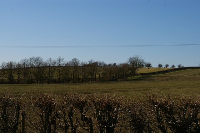
Little Wood, located in Huntingdonshire, is a charming forested area that covers an approximate area of 2 square miles. Nestled amidst the picturesque landscape of the region, Little Wood is renowned for its natural beauty and tranquil surroundings. The woodland is primarily composed of a mix of deciduous and coniferous trees, such as oak, beech, pine, and spruce, which lend an enchanting ambiance to the area throughout the year.

The woodland boasts a diverse ecosystem, providing a habitat for various species of flora and fauna. It is a popular destination for nature enthusiasts and birdwatchers, as it attracts numerous bird species including great spotted woodpeckers, tawny owls, and nuthatches. The forest floor is adorned with a carpet of seasonal wildflowers, adding bursts of color to the landscape during spring and summer months.

Little Wood offers a range of recreational activities for visitors to enjoy. There are well-maintained walking trails that wind through the woods, allowing visitors to explore the area at their leisure. The trails offer a peaceful and serene atmosphere, making it an ideal spot for a leisurely stroll or a family picnic.

In addition to its natural beauty, Little Wood holds historical significance. It has been a part of the local community for centuries and has witnessed various historical events. The wood is often mentioned in local folklore and has been a source of inspiration for artists and writers alike.

Overall, Little Wood in Huntingdonshire is a captivating destination for nature lovers, offering a harmonious blend of scenic beauty, diverse wildlife, and a touch of history.

If you have any feedback on the listing, please let us know in the comments section below.
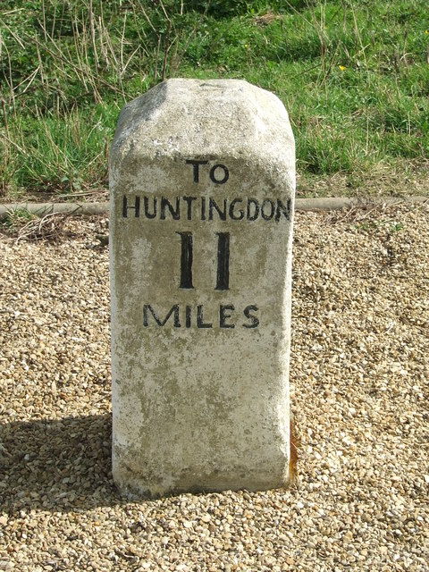
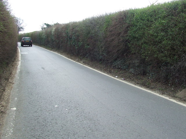
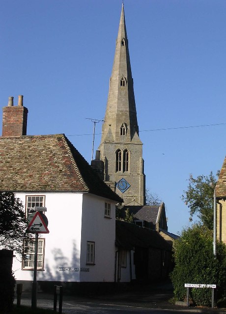
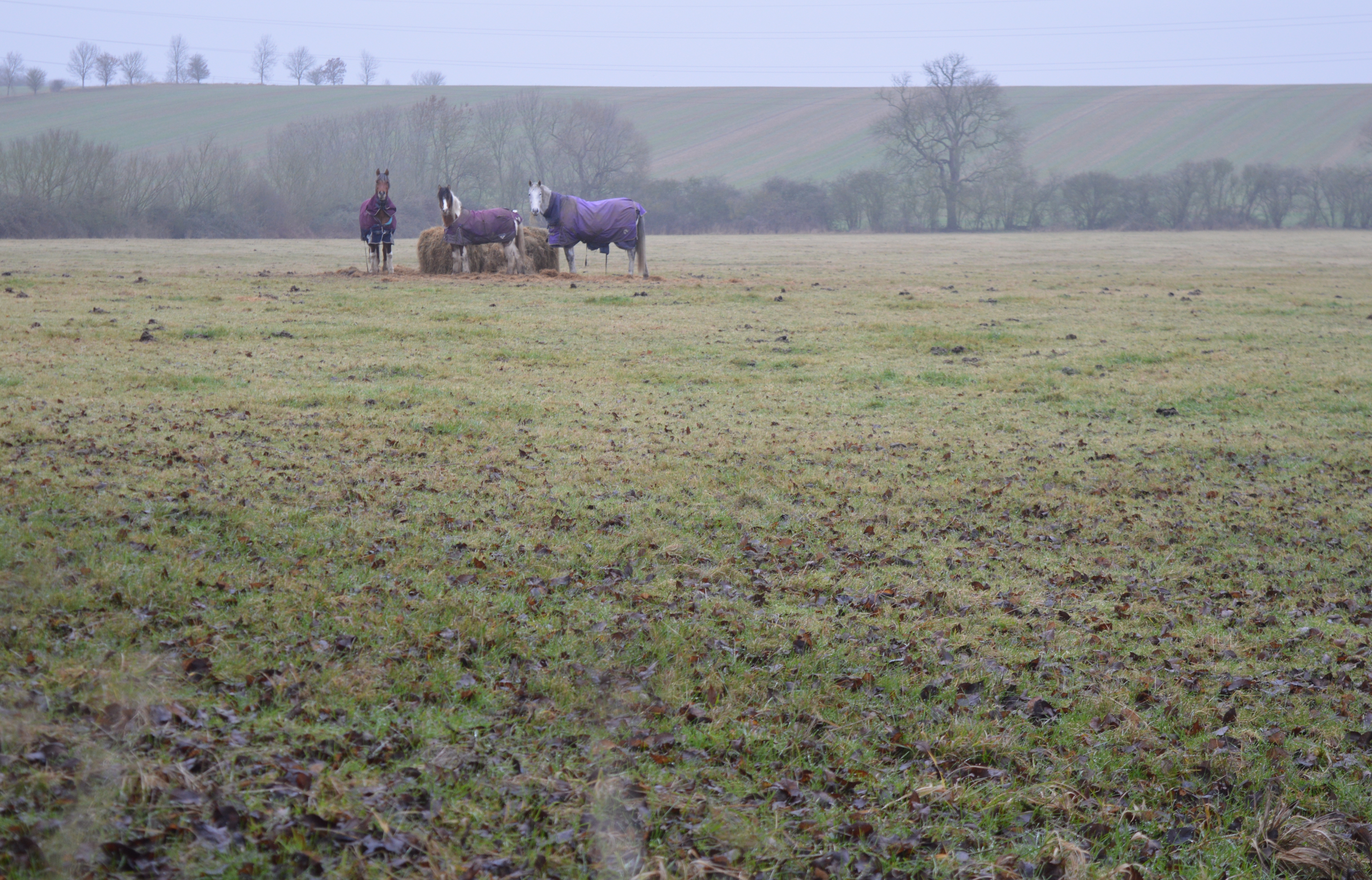
Little Wood Images

Images are sourced within 2km of 52.350167/-0.40388168 or Grid Reference TL0873. Thanks to Geograph Open Source API. All images are credited.

The former Fox pub, next to the A14 near Brington
Looking east along the A14 from the bridge at Brington
The former Fox pub, next to the A14 near Brington Seen from the truncated stub of Fox Road, which used to lead to a crossing of the A14 but is now superseded by a new road and bridge.
The former Fox pub, next to the A14 near Brington
Seen from the truncated stub of Fox Road, which used to lead to a crossing of the A14 but is now superseded by a new road and bridge.
Looking west near the former Fox pub Seen from the stub of Fox Road that leads to the former pub and formerly to a crossing of the road that is now the A14.
Looking west near the former Fox pub
Seen from the stub of Fox Road that leads to the former pub and formerly to a crossing of the road that is now the A14.
High Street, Catworth
Fox Road Interchange, Brington Connecting to the A14
Fox Road Interchange, Brington
Connecting to the A14
Old Milestone by the A14 Carved stone post by the A14, in parish of CATWORTH (HUNTINGDONSHIRE District), on slip road, near junction with B660, on the verge (DC reinstated close to original place), on Northwest side of road. Huntingdon stone, erected by the Market Harborough & Brampton turnpike trust in the 19th century. An earlier photograph can be found here <a title="https://www.geograph.org.uk/photo/6038244" href="https://www.geograph.org.uk/photo/6038244">Link</a>.

Inscription reads:-
: TO / THRAPSTON / 7 / MILES : : TO / HUNTINGDON / 10 / MILES : 

Milestone Society National ID: HU_HUTH10.
Old Milestone by the A14
Carved stone post by the A14, in parish of CATWORTH (HUNTINGDONSHIRE District), on slip road, near junction with B660, on the verge (DC reinstated close to original place), on Northwest side of road. Huntingdon stone, erected by the Market Harborough & Brampton turnpike trust in the 19th century. An earlier photograph can be found here Link. Inscription reads:- : TO / THRAPSTON / 7 / MILES : : TO / HUNTINGDON / 10 / MILES : Milestone Society National ID: HU_HUTH10.
A14 looking towards Thrapston Traffic thunders past a lay-by on the eastbound carriageway of the A14; in common with other lay-bys on this stretch an SOS telephone is provided.
A14 looking towards Thrapston
Traffic thunders past a lay-by on the eastbound carriageway of the A14; in common with other lay-bys on this stretch an SOS telephone is provided.
B660 at the A14 junction Fox Road B660 at the A14 junction
B660 at the A14 junction
Fox Road B660 at the A14 junction
Track to Molly Rose Lodge Part of the Three Shires Way
Track to Molly Rose Lodge
Part of the Three Shires Way
Old Milepost Old milepost near to Molesworth, Cambridgeshire for overall view see <a title="https://www.geograph.org.uk/photo/2880666" href="https://www.geograph.org.uk/photo/2880666">Link</a>
Old Milepost
Old milepost near to Molesworth, Cambridgeshire for overall view see Link
To Thrapston 6 Old milepost near to Easton, Cambridgeshire for close up view see <a title="https://www.geograph.org.uk/photo/2880648" href="https://www.geograph.org.uk/photo/2880648">Link</a>
To Thrapston 6
Old milepost near to Easton, Cambridgeshire for close up view see Link
Old Milepost Old milepost near to Brington, Cambridgeshire. The correct location would have been half a mile further east but must have been moved with the creation of the A.14. For overall view see <a title="https://www.geograph.org.uk/photo/2880795" href="https://www.geograph.org.uk/photo/2880795">Link</a>
Old Milepost
Old milepost near to Brington, Cambridgeshire. The correct location would have been half a mile further east but must have been moved with the creation of the A.14. For overall view see Link
To Thrapston 7 Old milepost near to Brington, Cambridgeshire. The correct location would have been half a mile further east but must have been moved with the creation of the A.14. For close up view see <a title="https://www.geograph.org.uk/photo/2880782" href="https://www.geograph.org.uk/photo/2880782">Link</a>
To Thrapston 7
Old milepost near to Brington, Cambridgeshire. The correct location would have been half a mile further east but must have been moved with the creation of the A.14. For close up view see Link
Old Milepost Old milepost on the B660 near to Catworth, Cambridgeshire. For overall view see <a title="https://www.geograph.org.uk/photo/2883405" href="https://www.geograph.org.uk/photo/2883405">Link</a>
Old Milepost
Old milepost on the B660 near to Catworth, Cambridgeshire. For overall view see Link
66 Miles From London Old milepost on the B660 near to Catworth, Cambridgeshire. For close up view see <a title="https://www.geograph.org.uk/photo/2883402" href="https://www.geograph.org.uk/photo/2883402">Link</a>
66 Miles From London
Old milepost on the B660 near to Catworth, Cambridgeshire. For close up view see Link
Old Milepost Old milepost on the B660 near to Catworth, Cambridgeshire. For overall view see <a title="https://www.geograph.org.uk/photo/2883546" href="https://www.geograph.org.uk/photo/2883546">Link</a>
Old Milepost
Old milepost on the B660 near to Catworth, Cambridgeshire. For overall view see Link
67 Miles From London Old milepost hidden in hedge on the B660 near to Catworth, Cambridgeshire. For close up view see <a title="https://www.geograph.org.uk/photo/2883540" href="https://www.geograph.org.uk/photo/2883540">Link</a>
67 Miles From London
Old milepost hidden in hedge on the B660 near to Catworth, Cambridgeshire. For close up view see Link
Show me another place!

Little Wood is located at Grid Ref: TL0873 (Lat: 52.350167, Lng: -0.40388168)

Administrative County: Cambridgeshire

District: Huntingdonshire

Police Authority: Cambridgeshire

What 3 Words

///voting.ghost.marsh. Near Kimbolton, Cambridgeshire

Related Wikis

Catworth

Catworth is a village and civil parish in Cambridgeshire, England. Catworth lies approximately 9 miles (14 km) west of Huntingdon. The civil parish covers...

Little Catworth Meadow

Little Catworth Meadow is a 5.2-hectare (13-acre) biological Site of Special Scientific Interest between Catworth and Spaldwick in Cambridgeshire.The meadow...

Brington, Cambridgeshire

Brington is a village and former civil parish, now in the parish of Brington and Molesworth, in Cambridgeshire, England. Brington lies approximately 9...

Kimbolton railway station

Kimbolton railway station was a railway station in Kimbolton, Cambridgeshire. The station and its line closed in 1959. The journey from London St. Pancras...

Molesworth, Cambridgeshire

Molesworth is a village and former civil parish, now in the parish of Brington and Molesworth in Cambridgeshire, England. Molesworth is 10 miles (16 km...

Bythorn

Bythorn is a village and former civil parish, now in the parish of Bythorn and Keyston, in Cambridgeshire, England. Bythorn lies approximately 11 miles...

Bythorn and Keyston

Bythorn and Keyston is a civil parish in the Huntingdonshire district of Cambridgeshire, England. According to the 2001 census the parish had a population...

Stow Longa

Stow Longa is a village and civil parish in Cambridgeshire, England. Stow Longa lies approximately 8 miles (13 km) west of Huntingdon and two miles north...

Nearby Amenities

Located within 500m of 52.350167,-0.40388168
Catworth
Place: village
Lat/Long: 52.3466971/-0.4078164
Pub
The Racehorse Inn
Addr City: Huntingdon
Addr Housenumber: 43
Addr Postcode: PE28 0PF
Addr Street: High Street
Url: http://www.racehorsecatworth.co.uk/
Village: Catworth
Lat/Long: 52.3464283/-0.407685
Post Box
Post Box Type: wall
Ref: PE28 148
Royal Cypher: GVIR
Royal Cypher Wikidata: Q33102169
Lat/Long: 52.3464417/-0.407413
Catworth Stores
Shop: convenience
Lat/Long: 52.346412/-0.4074677
Telephone
Defibrillator
Booth: K6
Covered: booth
Defibrillator Location: inside red phone box, High Street, Catworth
Emergency: defibrillator
Listed Status: Grade II
Man Made: telephone_box
Old Phone: +44 1832 710291
Lat/Long: 52.3463498/-0.4071375
Church End
Note: mentioned on sign at end of road, but located by NPE
Place: locality
Lat/Long: 52.3492628/-0.403088
Power: tower
Lat/Long: 52.3508016/-0.3992366
Power: tower
Lat/Long: 52.3515163/-0.402235
Power: tower
Lat/Long: 52.3525583/-0.4066016
Power: pole
Lat/Long: 52.3466792/-0.4080579
Power: pole
Lat/Long: 52.3499036/-0.4103784
Power: pole
Lat/Long: 52.351755/-0.4100405
Power: pole
Lat/Long: 52.3489927/-0.4105179
Power: pole
Lat/Long: 52.3507899/-0.4102386
Barrier: kissing_gate
Lat/Long: 52.3459243/-0.4042405
Barrier: kissing_gate
Lat/Long: 52.346973/-0.3991818
Place: farm
Lat/Long: 52.349983/-0.398678
Post Box
Ref: PE28 218
Lat/Long: 52.348415/-0.401655
Man Made: village_sign
Lat/Long: 52.3466308/-0.4077312
Historic: milestone
Inscription: 4 miles from Kimbolton
Wikidata: Q66479282
Lat/Long: 52.3494741/-0.4076636
Communication Mobile Phone: yes
Man Made: tower
Tower Type: communication
Lat/Long: 52.3499969/-0.398106
The data included in this document is from www.openstreetmap.org. The data is made available under ODbL.

Have you been to Little Wood?

Leave your review of Little Wood below (or comments, questions and feedback).