Big Wood
Wood, Forest in Lincolnshire West Lindsey
England
Big Wood

Big Wood is a picturesque forest located in the county of Lincolnshire, England. Covering an expansive area of approximately 500 acres, it is a popular destination for nature enthusiasts and outdoor adventurers alike. The wood is situated near the village of Wood, providing a tranquil and idyllic escape from the hustle and bustle of everyday life.
The forest is predominantly composed of mature broadleaf trees, including oak, beech, and ash, which create a dense canopy that filters sunlight and casts beautiful shadows on the forest floor. The towering trees provide a habitat for a diverse range of wildlife, including deer, foxes, and various bird species, making it a prime spot for wildlife enthusiasts and birdwatchers.
Big Wood is crisscrossed by a network of well-maintained footpaths, allowing visitors to explore its natural beauty at their own pace. The paths wind through the forest, meandering past tranquil ponds, babbling brooks, and patches of wildflowers, creating a serene and enchanting atmosphere.
Visitors to Big Wood can engage in a range of activities, such as hiking, jogging, or simply taking a leisurely stroll to soak in the peaceful ambiance. The wood also provides ample opportunities for picnicking and nature photography, with its picturesque landscapes and abundant wildlife.
Overall, Big Wood in Lincolnshire is a captivating natural haven that offers a respite from the modern world. Its lush greenery, diverse flora and fauna, and tranquil atmosphere make it a must-visit destination for those seeking a genuine connection with nature.
If you have any feedback on the listing, please let us know in the comments section below.
Big Wood Images
Images are sourced within 2km of 53.490628/-0.36172806 or Grid Reference TA0800. Thanks to Geograph Open Source API. All images are credited.


Big Wood is located at Grid Ref: TA0800 (Lat: 53.490628, Lng: -0.36172806)
Administrative County: Lincolnshire
District: West Lindsey
Police Authority: Lincolnshire
What 3 Words
///appoints.glossed.ships. Near Caistor, Lincolnshire
Nearby Locations
Related Wikis
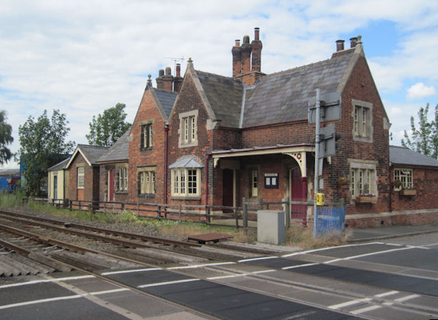
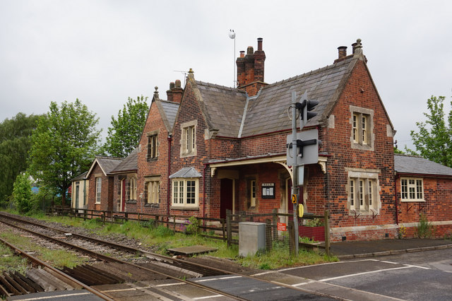
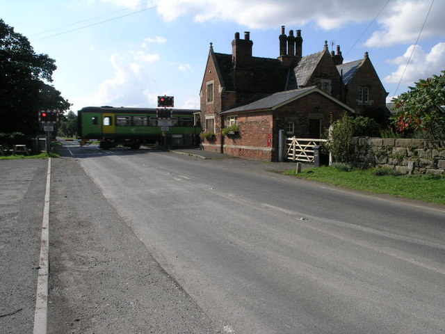
Moortown railway station
Moortown railway station was a railway station serving both the village of Moortown and town of Caistor in Lincolnshire, England on the line between Grimsby...
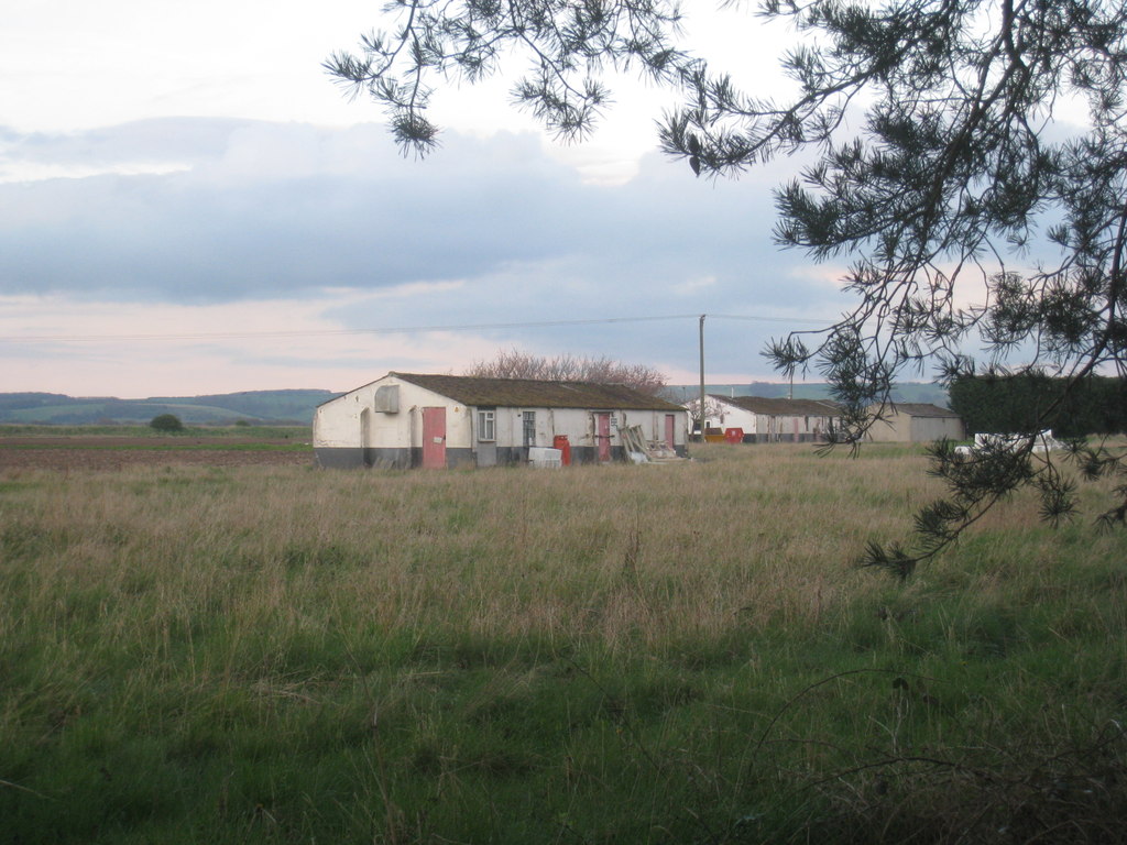
RAF Caistor
RAF Caistor is a former Royal Air Force Relief Landing Ground located 6.2 miles (10.0 km) south east of Brigg, Lincolnshire and 9.1 miles (14.6 km) north...

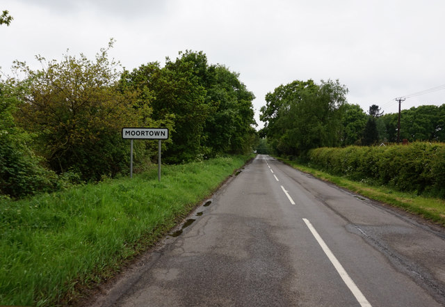
Moortown, Lincolnshire
Moortown is a hamlet in the civil parish of South Kelsey, and in the West Lindsey district of Lincolnshire, England. It is at the crossroads of the B1205...

Nettleton, Lincolnshire
Nettleton is a village and civil parish in the West Lindsey district of Lincolnshire, England. It is situated less than 1 mile (1.6 km) south-west from...

North Kelsey railway station
North Kelsey railway station was a railway station serving both the village of North Kelsey and town of Caistor in Lincolnshire, England, it was opened...
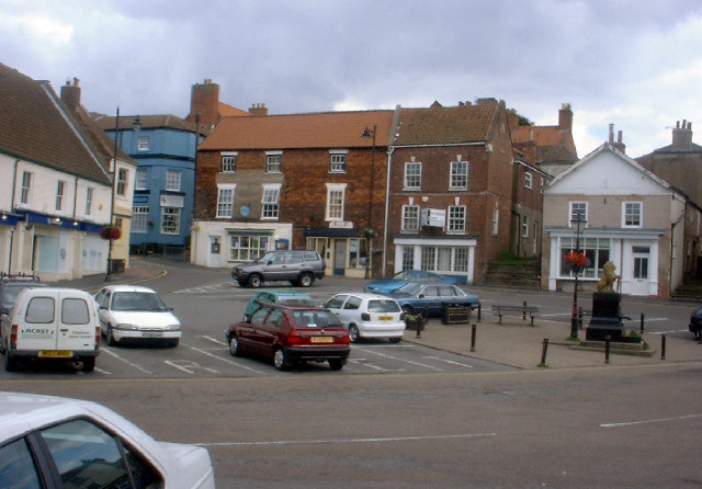
Caistor
Caistor is a town and civil parish in the West Lindsey district of Lincolnshire, England. As its name implies, it was originally a Roman castrum or fortress...
Caistor Grammar School
Caistor Grammar School is a selective school with academy status in the English town of Caistor in the county of Lincolnshire, England. The school was...

Holton le Moor
Holton le Moor is a small village and civil parish in the West Lindsey district of Lincolnshire, England. Holton le Moor lies on the B1434 road. The nearest...
Nearby Amenities
Located within 500m of 53.490628,-0.36172806Have you been to Big Wood?
Leave your review of Big Wood below (or comments, questions and feedback).