Monks Wood

Wood, Forest in Lincolnshire North Kesteven

England

Monks Wood

Stubble field off Mareham Lane
Stubble field off Mareham Lane Credit: Jonathan Thacker

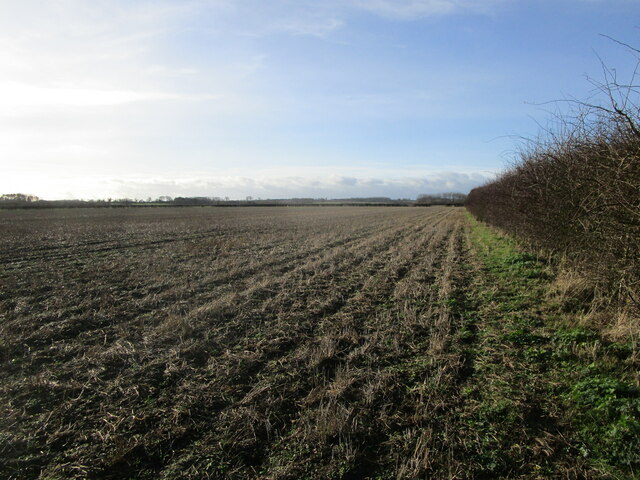
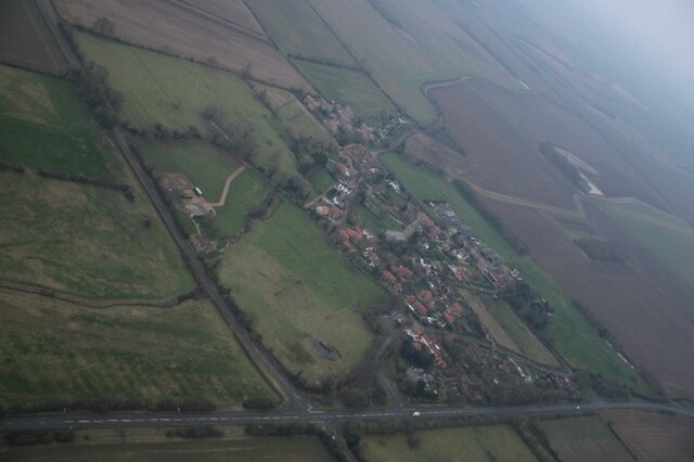
Monks Wood is a picturesque forest located in Lincolnshire, England. Spanning over a vast area of land, it is renowned for its natural beauty and diverse flora and fauna. The wood is situated near the village of Swineshead, and its location offers a tranquil escape from the hustle and bustle of urban life.

The wood is predominantly composed of deciduous trees, including oak, beech, and birch, which create a stunning canopy during the summer months. These trees provide a habitat for a wide range of wildlife, including various bird species, small mammals, and insects.

One of the notable features of Monks Wood is its rich historical significance. The wood derives its name from the nearby Swineshead Abbey, a former monastery that played a significant role in the medieval period. The monks used the timber from the wood for construction purposes, and remnants of the old buildings can still be found scattered throughout the forest.

Monks Wood offers several well-maintained walking trails, allowing visitors to explore its beauty at their own pace. These trails are suitable for both casual strolls and more challenging hikes, catering to individuals of all fitness levels. Along the way, visitors may encounter enchanting ponds and streams, adding to the charm of the woodland setting.

Overall, Monks Wood in Lincolnshire is a captivating destination for nature enthusiasts and history buffs alike. With its stunning landscapes, diverse wildlife, and historical significance, it offers a unique and memorable experience for all who visit.

If you have any feedback on the listing, please let us know in the comments section below.

Monks Wood Images

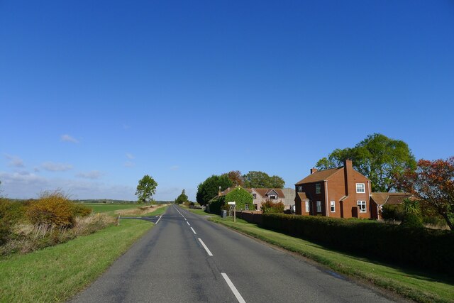
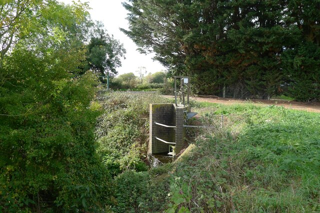
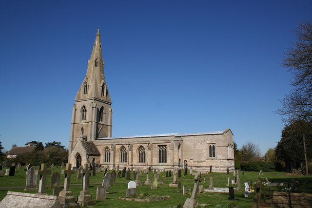
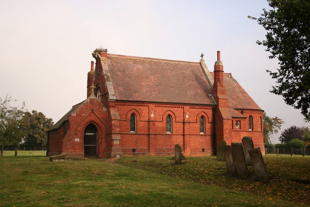
Images are sourced within 2km of 52.916661/-0.3834879 or Grid Reference TF0836. Thanks to Geograph Open Source API. All images are credited.

Stubble field off Mareham Lane
Threekingham: aerial 2022 (1)
Threekingham: aerial 2022 (2)
Mareham Lane approaching Threekingham The flat landscape on softer Jurassic mudstones
Mareham Lane approaching Threekingham
The flat landscape on softer Jurassic mudstones
Church of St Peter ad Vincula, Threekingham Listed Grade I, 12th to 14th century, restored 19th century <span class="nowrap"><a title="https://historicengland.org.uk/listing/the-list/list-entry/1306911?section=official-list-entry" rel="nofollow ugc noopener" href="https://historicengland.org.uk/listing/the-list/list-entry/1306911?section=official-list-entry">Link</a><img style="margin-left:2px;" alt="External link" title="External link - shift click to open in new window" src="https://s1.geograph.org.uk/img/external.png" width="10" height="10"/></span> . 12th century Romanesque windows are seen in the east wall of the chancel
Church of St Peter ad Vincula, Threekingham
Listed Grade I, 12th to 14th century, restored 19th century LinkExternal link . 12th century Romanesque windows are seen in the east wall of the chancel
Acre Lane leaving Threekingham
Saltersway entering Threekingham The original route of the A52 through the village before the bypass was built, and presumably on the line of the Salt Way Roman road.
(Note that the street sign says 'Salters Way', but 'Saltersway' appears to be the preferred spelling)
Saltersway entering Threekingham
The original route of the A52 through the village before the bypass was built, and presumably on the line of the Salt Way Roman road. (Note that the street sign says 'Salters Way', but 'Saltersway' appears to be the preferred spelling)
Three Kings Inn, Saltersway, Threekingham Listed Grade II, early 18th century <span class="nowrap"><a title="https://historicengland.org.uk/listing/the-list/list-entry/1061736?section=official-list-entry" rel="nofollow ugc noopener" href="https://historicengland.org.uk/listing/the-list/list-entry/1061736?section=official-list-entry">Link</a><img style="margin-left:2px;" alt="External link" title="External link - shift click to open in new window" src="https://s1.geograph.org.uk/img/external.png" width="10" height="10"/></span> .
The following from the Threekingham parish website:
"The Three Kings Inn: Reputedly, a hostelry has been on the site of The Three Kings Inn for centuries. An ailing King John stayed at the Inn during October 1216 when he was en route from Swineshead Abbey to Newark Castle where he died. Three centuries later, on the 8th August 1554, King Henry VIII passed through the village on his way to York and returned a few weeks later. In the 18th Century the Inn was known as the Harvest Home and then the Barley Mow. In about 1737, Dick Turpin's mother-in-law, Mrs Berrys, ran the Inn, and he frequently visited her to feed his horse before he set out to rob travellers on Salters Way." <span class="nowrap"><a title="http://www.threekingham.org.uk/about_3kh.html" rel="nofollow ugc noopener" href="http://www.threekingham.org.uk/about_3kh.html">Link</a><img style="margin-left:2px;" alt="External link" title="External link - shift click to open in new window" src="https://s1.geograph.org.uk/img/external.png" width="10" height="10"/></span>
Three Kings Inn, Saltersway, Threekingham
Listed Grade II, early 18th century LinkExternal link . The following from the Threekingham parish website: "The Three Kings Inn: Reputedly, a hostelry has been on the site of The Three Kings Inn for centuries. An ailing King John stayed at the Inn during October 1216 when he was en route from Swineshead Abbey to Newark Castle where he died. Three centuries later, on the 8th August 1554, King Henry VIII passed through the village on his way to York and returned a few weeks later. In the 18th Century the Inn was known as the Harvest Home and then the Barley Mow. In about 1737, Dick Turpin's mother-in-law, Mrs Berrys, ran the Inn, and he frequently visited her to feed his horse before he set out to rob travellers on Salters Way." LinkExternal link
Mareham Lane crossing the A52 Much of the A52 is believed to follow the Salt Way, which would make this location close to the crossing of two Roman roads.
Mareham Lane crossing the A52
Much of the A52 is believed to follow the Salt Way, which would make this location close to the crossing of two Roman roads.
Mareham Lane north of the A52 The modern Mareham Lane runs from near Graby, Lincolnshire, due north for about 10.5 miles to Sleaford. Much of its length follows the route of a Roman road, Margary number 260, which ran for about 16 miles from Bourne to Sleaford (Margary, I.D., 1955. Roman roads in Britain, volume 1)
Mareham Lane north of the A52
The modern Mareham Lane runs from near Graby, Lincolnshire, due north for about 10.5 miles to Sleaford. Much of its length follows the route of a Roman road, Margary number 260, which ran for about 16 miles from Bourne to Sleaford (Margary, I.D., 1955. Roman roads in Britain, volume 1)
Mareham Lane passing Highfields Country Fishing Retreat From this point to its end at Sleaford, 5 miles to the north, Mareham Lane is followed by parish boundaries, a common feature of Roman roads.
Mareham Lane passing Highfields Country Fishing Retreat
From this point to its end at Sleaford, 5 miles to the north, Mareham Lane is followed by parish boundaries, a common feature of Roman roads.
Field west of Spanby Flat Lincolnshire, with clayey soils developed over Jurassic mudstones.
Field west of Spanby
Flat Lincolnshire, with clayey soils developed over Jurassic mudstones.
Former church of St Nicholas, Spanby Built in 1881 (replacing a medieval church at a different site), but made redundant in 1973 <span class="nowrap"><a title="https://www.stnicholascenter.org/gazetteer/1560" rel="nofollow ugc noopener" href="https://www.stnicholascenter.org/gazetteer/1560">Link</a><img style="margin-left:2px;" alt="External link" title="External link - shift click to open in new window" src="https://s1.geograph.org.uk/img/external.png" width="10" height="10"/></span> . Services are now being put in to allow use as a home.
Former church of St Nicholas, Spanby
Built in 1881 (replacing a medieval church at a different site), but made redundant in 1973 LinkExternal link . Services are now being put in to allow use as a home.
Mareham Lane passing Brickmakers Farm and the junction with The Drove Formerly the Brickmakers Arms public house. Brick making was common on Lincolnshire's Jurassic clays.
Mareham Lane passing Brickmakers Farm and the junction with The Drove
Formerly the Brickmakers Arms public house. Brick making was common on Lincolnshire's Jurassic clays.
Pylons at power line junction <a href="https://www.geograph.org.uk/photo/405609">TL7511 : Power line junction</a> gives a description of a similar structure
Pylons at power line junction
TL7511 : Power line junction gives a description of a similar structure
Sewage works outfall into South Beck, Osbournby
Restricted byway east of Newton This pleasant cycling byway, extending 1¼ miles east from Newton, ends abruptly at Newton Gorse woodland, ahead.
Restricted byway east of Newton
This pleasant cycling byway, extending 1¼ miles east from Newton, ends abruptly at Newton Gorse woodland, ahead.
Footpath north from Newton Grange Farm The path passes Newton Gorse woodland, ahead, crosses the A52, and continues to Osbournby.
Footpath north from Newton Grange Farm
The path passes Newton Gorse woodland, ahead, crosses the A52, and continues to Osbournby.
Show me another place!

Monks Wood is located at Grid Ref: TF0836 (Lat: 52.916661, Lng: -0.3834879)

Administrative County: Lincolnshire

District: North Kesteven

Police Authority: Lincolnshire

What 3 Words

///breed.carpentry.sensual. Near Billingborough, Lincolnshire

Nearby Locations

Monks Wood

Related Wikis

Threekingham

Threekingham (sometimes Threckingham or Tricengham) is a village in the North Kesteven district of Lincolnshire, England. The population of the civil parish...

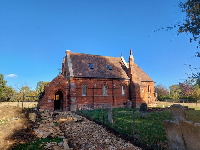
St Peter's Church, Threekingham

St Peter's Church is a church in Threekingham, Lincolnshire. It is dedicated to St. Peter ad Vincula (St Peter in chains). It became a Grade I listed building...

Spanby

Spanby is a village and former civil parish, now in the parish of Threekingham, in the North Kesteven district of Lincolnshire, England, about 5 miles...

Stow Fair, Lincolnshire

Stow Fair was an English medieval fair inaugurated in 1233 and held at Stow Green Hill in Lincolnshire.The Prior of Sempringham was granted permission...

Nearby Amenities

Located within 500m of 52.916661,-0.3834879
Bus Stop
Water Lane
Naptan AtcoCode: 270000008939
Naptan Bearing: W
Naptan CommonName: Water Lane
Naptan Indicator: adj
Naptan Landmark: Water Lane
Naptan NaptanCode: lingwjdj
Naptan Street: Saltersway
Naptan Verified: no
Source: naptan_import
Lat/Long: 52.9129114/-0.3813479
Bus Stop
Post Office
Naptan AtcoCode: 270000008940
Naptan Bearing: E
Naptan CommonName: Post Office
Naptan Indicator: adj
Naptan Landmark: Post Office
Naptan NaptanCode: lingwjdm
Naptan Street: Saltersway
Naptan Verified: no
Source: naptan_import
Lat/Long: 52.9132393/-0.3836409
Bus Stop
Post Office
Naptan AtcoCode: 270000008941
Naptan Bearing: W
Naptan CommonName: Post Office
Naptan Indicator: opp
Naptan Landmark: Post Office
Naptan NaptanCode: lingwjdp
Naptan Street: Saltersway
Naptan Verified: no
Source: naptan_import
Lat/Long: 52.9131139/-0.3838268
Bus Stop
Water Lane
Naptan AtcoCode: 2700LT001114
Naptan Bearing: E
Naptan CommonName: Water Lane
Naptan Indicator: opp
Naptan Landmark: Water Lane
Naptan NaptanCode: linajawa
Naptan Street: Saltersway
Naptan Verified: no
Source: naptan_import
Lat/Long: 52.9129916/-0.3813003
Pub
Three Kings Inn
Source: survey
Wikidata: Q26314979
Lat/Long: 52.9131233/-0.3802303
Threekingham Beacon
Place: locality
Source: Bing
Lat/Long: 52.9128655/-0.3851057
Three Kings Deer
Place: locality
Lat/Long: 52.9175873/-0.3792677
Description: Beacon
Historic: archaeological_site
Lat/Long: 52.9126515/-0.3859514
The data included in this document is from www.openstreetmap.org. The data is made available under ODbL.

Have you been to Monks Wood?

Leave your review of Monks Wood below (or comments, questions and feedback).