Ednaston
Settlement in Derbyshire Derbyshire Dales
England
Ednaston

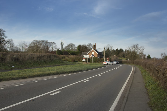
Ednaston is a small village located in the county of Derbyshire, England. Situated approximately 10 miles southwest of Derby, it falls within the administrative district of South Derbyshire. With a population of around 200 people, Ednaston exudes a serene and rural atmosphere, offering a peaceful retreat from the nearby urban areas.
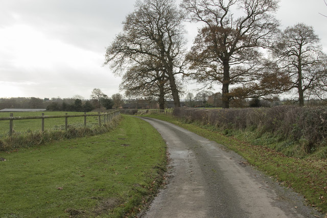
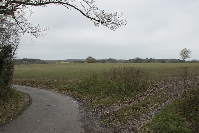
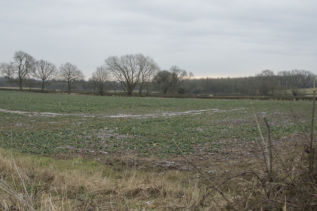
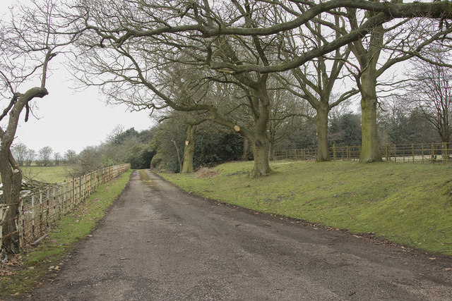
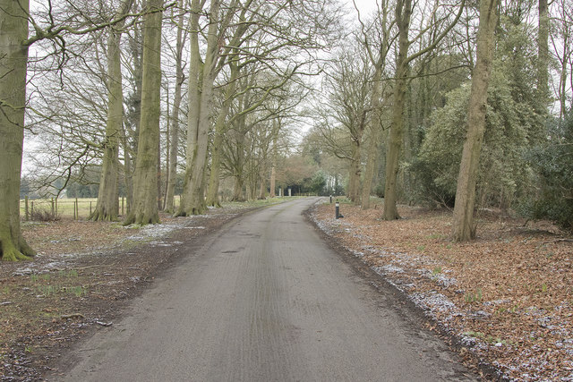
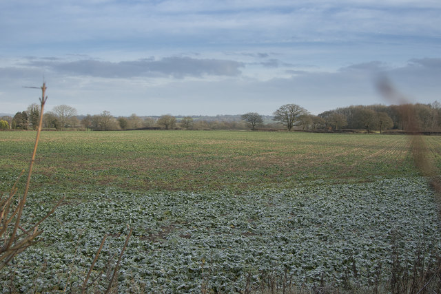
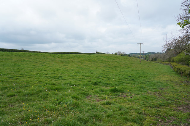
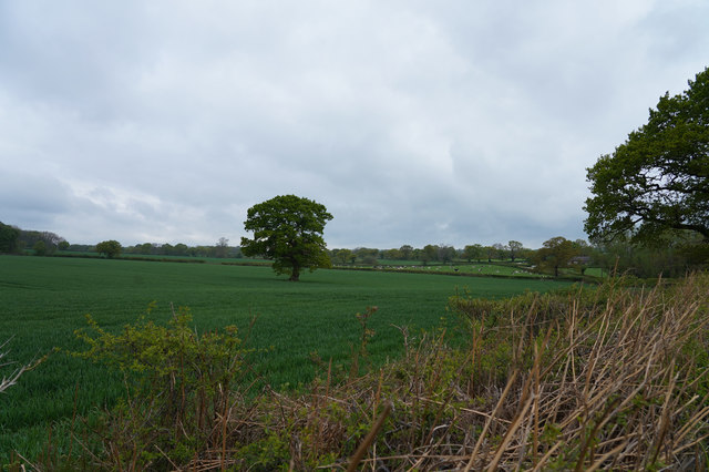
The village is surrounded by picturesque countryside, characterized by rolling hills, meadows, and farmland. It benefits from its proximity to the Peak District National Park, a renowned area of natural beauty, attracting outdoor enthusiasts and nature lovers alike.
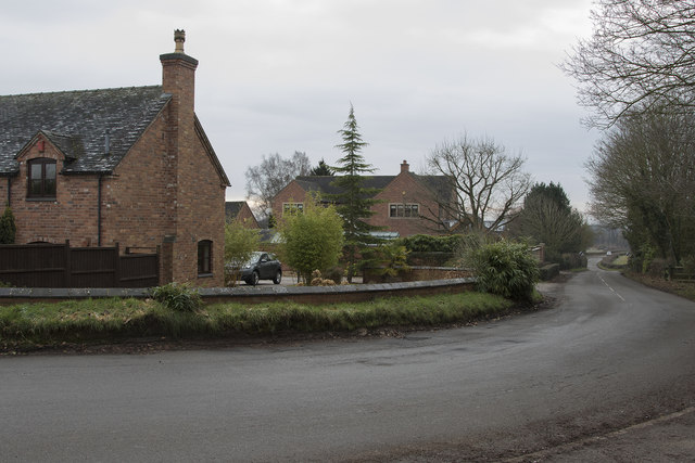
Ednaston is primarily a residential area, with a mix of houses and cottages, some of which date back to the 17th century. The village has a close-knit community, fostering a strong sense of belonging and camaraderie among its residents.
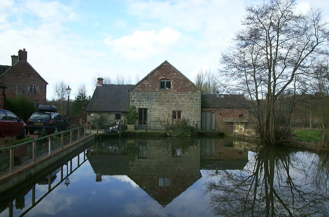
Despite its small size, Ednaston boasts a few notable landmarks. One such landmark is Ednaston Manor, a beautiful Georgian mansion that has been converted into luxury apartments. The manor's gardens are often open to the public, offering a glimpse into the area's rich history.
The village lacks major amenities, such as shops and schools, but nearby towns and villages provide easy access to essential services. Although Ednaston may not have a bustling commercial center, its idyllic setting and tranquility make it an appealing place for those seeking a peaceful countryside lifestyle.
If you have any feedback on the listing, please let us know in the comments section below.
Ednaston Images
Images are sourced within 2km of 52.974834/-1.655961 or Grid Reference SK2342. Thanks to Geograph Open Source API. All images are credited.


Ednaston is located at Grid Ref: SK2342 (Lat: 52.974834, Lng: -1.655961)
Administrative County: Derbyshire
District: Derbyshire Dales
Police Authority: Derbyshire
What 3 Words
///soulful.polite.innocence. Near Ashbourne, Derbyshire
Nearby Locations
Related Wikis

Ednaston Manor
Ednaston Manor is a country house in Ednaston, near Brailsford, Derbyshire, England. It was built in 1912–19 in a Queen Anne style by Edwin Lutyens, for...

Shirley, Derbyshire
Shirley is a small village and civil parish in Derbyshire, 4 miles (6 km) south-east of Ashbourne. The population of the civil parish as taken at the 2011...

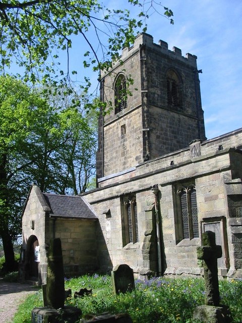
St Michael's Church, Shirley
St Michael's Church, Shirley is a Grade II* listed parish church in the Church of England: 318 in Shirley, Derbyshire. == History == The church dates...
All Saints' Church, Brailsford
All Saints’ Church, Brailsford is a Grade I listed parish church in the Church of England in Brailsford, Derbyshire. == History == The church dates from...

Hollington, Derbyshire
Hollington is a village and civil parish near the town of Uttoxeter and 5.5 miles (8.9 km) from the city of Derby, in the English county of Derbyshire...

Brailsford
Brailsford (52°58′16″N 1°37′26″W) is a small red-brick village and civil parish in Derbyshire on the A52 midway between Derby and Ashbourne. The parish...

Yeldersley
Yeldersley is a manor mentioned in the Domesday book. It is located near Ashbourne in Derbyshire. Today there is Yeldersley Hall. This hamlet had a population...

Yeldersley Hall, Derbyshire
Yeldersley Hall is a building of historical significance in Ashbourne, Derbyshire, England and is listed on the English Heritage Register. It was built...
Nearby Amenities
Located within 500m of 52.974834,-1.655961Have you been to Ednaston?
Leave your review of Ednaston below (or comments, questions and feedback).