Cave Covert

Wood, Forest in Derbyshire Derbyshire Dales

England

Cave Covert

Brailsford Ploughing Match This ploughing match and country fair has been going for many years. though called the Brailsford match it actually takes place at different farms around the area and is often a long way from the village of Brailsford.  This year however it was very close to Brailsford.
Brailsford Ploughing Match Credit: Malcolm Neal

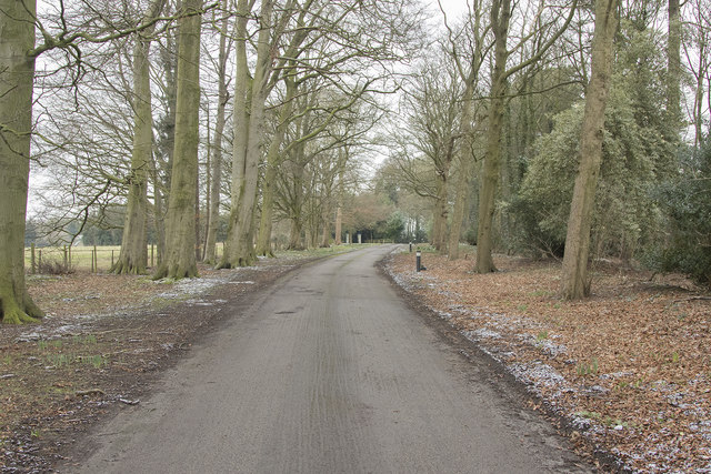
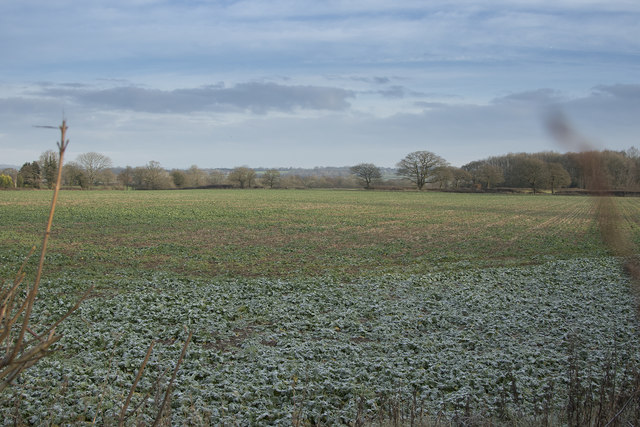
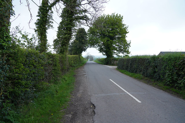
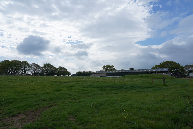
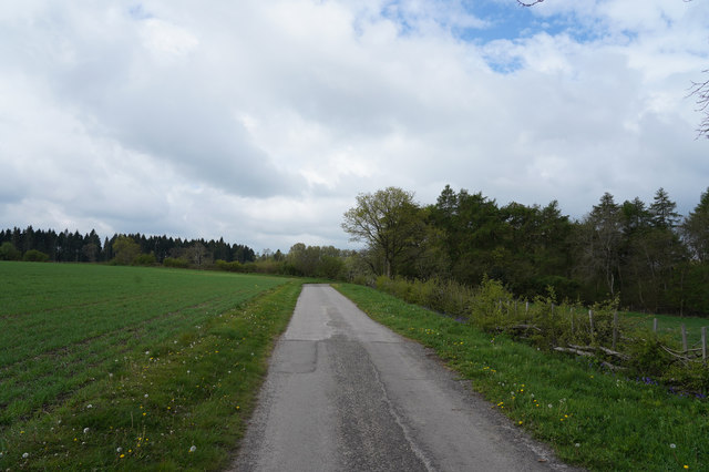
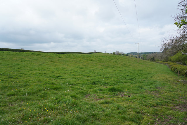
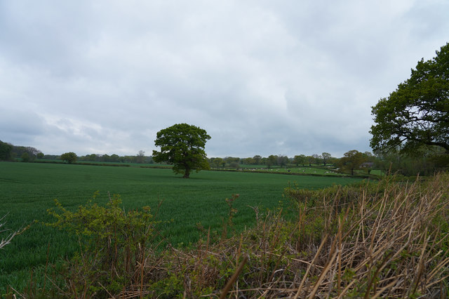
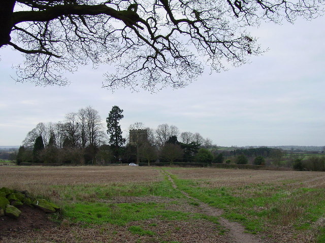
Cave Covert is a picturesque woodland located in Derbyshire, England. Nestled in the heart of the Peak District, this enchanting forest is known for its natural beauty and rich biodiversity. The woodland covers an area of approximately 50 hectares and is home to a variety of flora and fauna.

One of the main features of Cave Covert is its dense canopy of ancient oak trees, which provide shelter and shade to numerous plant and animal species. The forest floor is covered in a thick carpet of mosses, ferns, and wildflowers, creating a vibrant and diverse ecosystem.

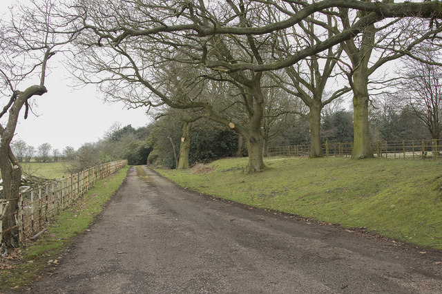
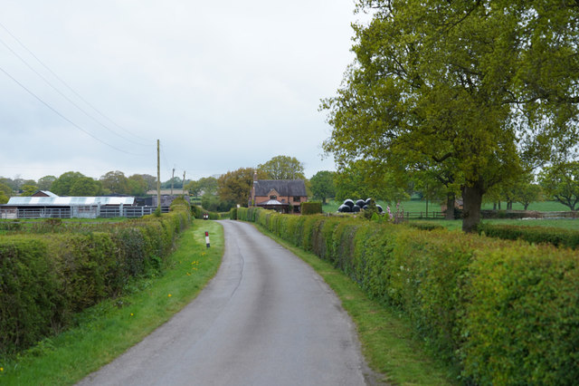
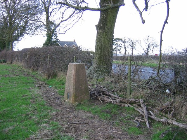
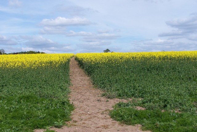
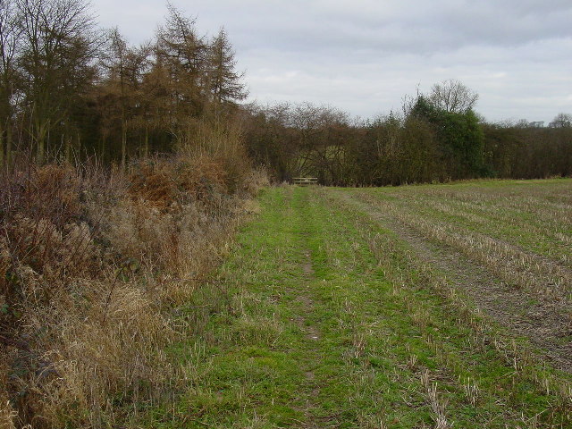
The woodland is crisscrossed by a network of well-maintained footpaths, allowing visitors to explore its hidden treasures. Along these paths, visitors can expect to encounter a wide range of wildlife, including deer, foxes, badgers, and a myriad of bird species. Birdwatchers in particular flock to Cave Covert to catch a glimpse of the elusive nightjar and the endangered pied flycatcher.

For those interested in history, Cave Covert also holds archaeological significance. The forest contains several limestone caves, which were used by prehistoric humans as shelter thousands of years ago. These caves have provided valuable insights into the lives of our ancestors and are a significant part of the region's heritage.

Overall, Cave Covert is a captivating woodland that offers a tranquil escape from the hustle and bustle of everyday life. Whether it's the breathtaking natural scenery, the diverse wildlife, or the historical significance, this forest has something to offer for everyone.

If you have any feedback on the listing, please let us know in the comments section below.
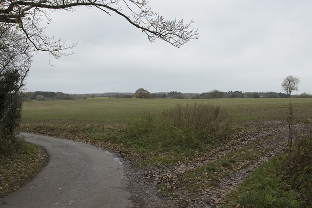
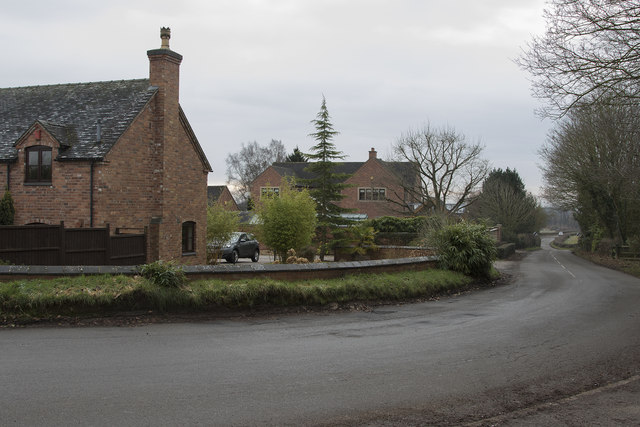
Cave Covert Images

Images are sourced within 2km of 52.983596/-1.6482784 or Grid Reference SK2342. Thanks to Geograph Open Source API. All images are credited.

Brailsford Ploughing Match This ploughing match and country fair has been going for many years. though called the Brailsford match it actually takes place at different farms around the area and is often a long way from the village of Brailsford.  This year however it was very close to Brailsford.
Brailsford Ploughing Match
This ploughing match and country fair has been going for many years. though called the Brailsford match it actually takes place at different farms around the area and is often a long way from the village of Brailsford. This year however it was very close to Brailsford.
Near Brailsford Green Brailsford Green just outside the small village of Brailsford.
Near Brailsford Green
Brailsford Green just outside the small village of Brailsford.
The edge of Ednaston Fairly modern detached houses on the edge of Ednaston. The entrance to Ednaston Hall is behind and to the right of the camera position.
The edge of Ednaston
Fairly modern detached houses on the edge of Ednaston. The entrance to Ednaston Hall is behind and to the right of the camera position.
Ednaston Hall drive Quite a lot of work has been carried out to the trees lining the drive as many large branches had been cut off.
Ednaston Hall drive
Quite a lot of work has been carried out to the trees lining the drive as many large branches had been cut off.
Looking towards St. Mary's Nursing home This is the tree lined drive to St. Mary's Nursing Home. It is a quiet and peaceful place.
Looking towards St. Mary's Nursing home
This is the tree lined drive to St. Mary's Nursing Home. It is a quiet and peaceful place.
Brailsford Mill Converted water mill at Brailsford, viewed across the mill pond.
Brailsford Mill
Converted water mill at Brailsford, viewed across the mill pond.
Frosty fields The fields belong to Corner Farm and where they are shaded by the hedge are still covered by frost.
Frosty fields
The fields belong to Corner Farm and where they are shaded by the hedge are still covered by frost.
The road junction to Shirley Taken from the pavement besides the road to Ashbourne showing the road junction to Shirley.
The road junction to Shirley
Taken from the pavement besides the road to Ashbourne showing the road junction to Shirley.
A lane by Fiddlers Folly Just outside the village of Brailsford is this minor road through the countryside which goes to nowhere inparticular.
A lane by Fiddlers Folly
Just outside the village of Brailsford is this minor road through the countryside which goes to nowhere inparticular.
Distant farm buildings The farm buildings are being extended at the right hand end of the low building in the middle right of the image.
Distant farm buildings
The farm buildings are being extended at the right hand end of the low building in the middle right of the image.
The track to Bradley Oldpark South The good surface seen here soon deteriorates as it goes towards Bradley Oldpark South.
The track to Bradley Oldpark South
The good surface seen here soon deteriorates as it goes towards Bradley Oldpark South.
A public footpath Not a much used footpath judging from the lack of an obvious route under the low voltage electricity cables.
A public footpath
Not a much used footpath judging from the lack of an obvious route under the low voltage electricity cables.
Looking across the fields The fields are probably Cave Farm and the crop that is growing looks extremely healthy.
Looking across the fields
The fields are probably Cave Farm and the crop that is growing looks extremely healthy.
Near Homestead Farm Well tended hedges line the road on either side as we approach Hoemstead Farm.
Near Homestead Farm
Well tended hedges line the road on either side as we approach Hoemstead Farm.
Trig pillar, Brailsford. Just outside the village under an ash tree. The hedges around here are home to quite a few ashes.
Trig pillar, Brailsford.
Just outside the village under an ash tree. The hedges around here are home to quite a few ashes.
Footpath through early rape crop The footpath from Brailsford Church to the village continues over the horizon. Part of the Centenary Way which runs from Long Eaton to Ashbourne.
Footpath through early rape crop
The footpath from Brailsford Church to the village continues over the horizon. Part of the Centenary Way which runs from Long Eaton to Ashbourne.
Footpath to the church This footpath forming part of the Centenary Way runs from Brailsford to the isolated All Saints Church in the same parish.
Footpath to the church
This footpath forming part of the Centenary Way runs from Brailsford to the isolated All Saints Church in the same parish.
Footpath north of North Farm House This footpath runs north passing North Farm house and Spinney Farm in the parish of Brailsford. View here looks north, just north of North Farm House.
Footpath north of North Farm House
This footpath runs north passing North Farm house and Spinney Farm in the parish of Brailsford. View here looks north, just north of North Farm House.
Show me another place!

Cave Covert is located at Grid Ref: SK2342 (Lat: 52.983596, Lng: -1.6482784)

Administrative County: Derbyshire

District: Derbyshire Dales

Police Authority: Derbyshire

What 3 Words

///diet.sneezing.shining. Near Ashbourne, Derbyshire

Related Wikis

Ednaston Manor

Ednaston Manor is a country house in Ednaston, near Brailsford, Derbyshire, England. It was built in 1912–19 in a Queen Anne style by Edwin Lutyens, for...

All Saints' Church, Brailsford

All Saints’ Church, Brailsford is a Grade I listed parish church in the Church of England in Brailsford, Derbyshire. == History == The church dates from...

Brailsford

Brailsford (52°58′16″N 1°37′26″W) is a small red-brick village and civil parish in Derbyshire on the A52 midway between Derby and Ashbourne. The parish...

Shirley, Derbyshire

Shirley is a small village and civil parish in Derbyshire, 4 miles (6 km) south-east of Ashbourne. The population of the civil parish as taken at the 2011...

St Michael's Church, Shirley

St Michael's Church, Shirley is a Grade II* listed parish church in the Church of England: 318  in Shirley, Derbyshire. == History == The church dates...

Yeldersley

Yeldersley is a manor mentioned in the Domesday book. It is located near Ashbourne in Derbyshire. Today there is Yeldersley Hall. This hamlet had a population...

Yeldersley Hall, Derbyshire

Yeldersley Hall is a building of historical significance in Ashbourne, Derbyshire, England and is listed on the English Heritage Register. It was built...

Mercaston

Mercaston is a hamlet in Derbyshire, England. It is located in the Peak District 7 miles west of Duffield. It is in the civil parish of Hulland Ward. In...

Nearby Amenities

Located within 500m of 52.983596,-1.6482784
The data included in this document is from www.openstreetmap.org. The data is made available under ODbL.

Have you been to Cave Covert?

Leave your review of Cave Covert below (or comments, questions and feedback).