Hick's Holt
Wood, Forest in Lincolnshire North Kesteven
England
Hick's Holt
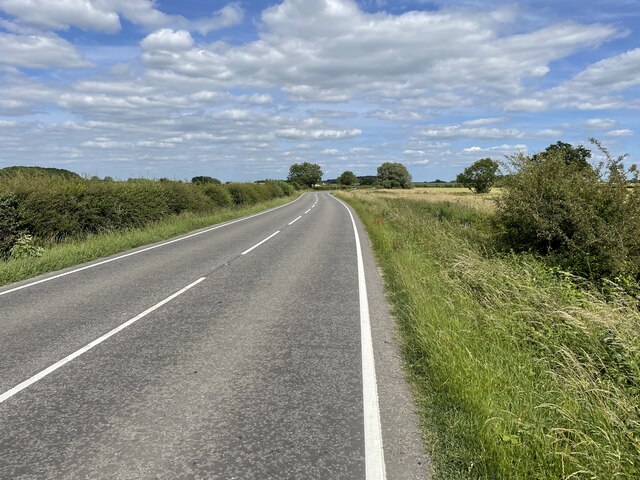
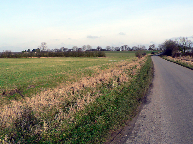
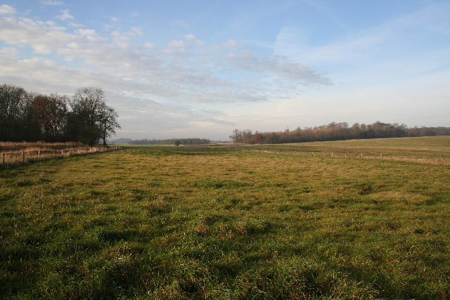
Hick's Holt is a small village located in the county of Lincolnshire, England. Situated amidst the picturesque landscapes, it is known for its abundant woodlands and lush forests. The village is nestled within the Lincolnshire Wolds, an Area of Outstanding Natural Beauty, providing residents and visitors with breathtaking views and opportunities for outdoor activities.
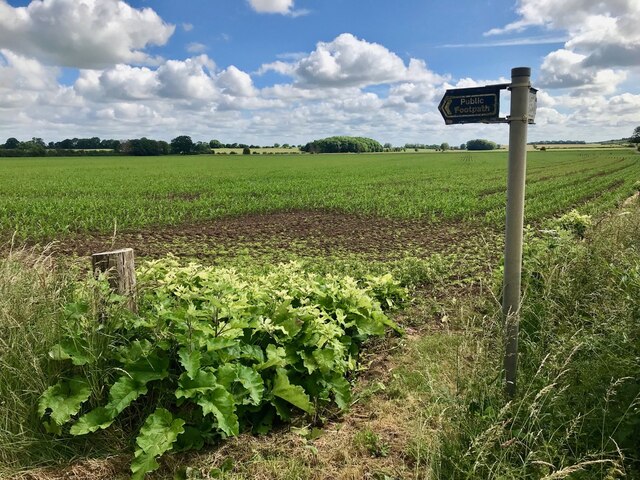
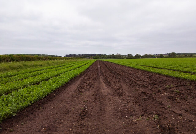
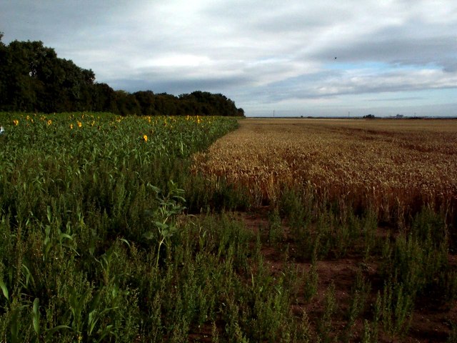
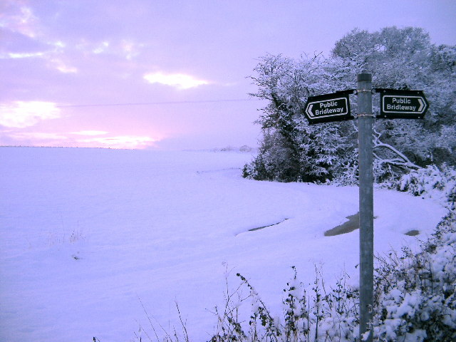
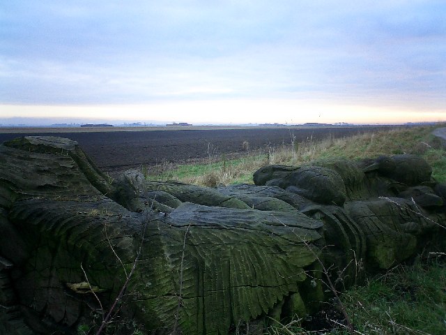
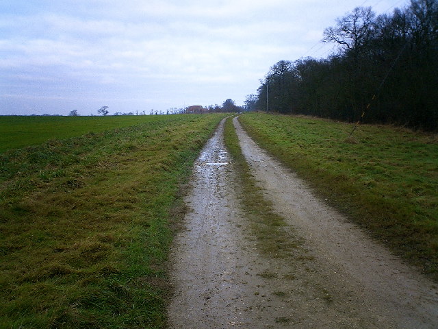
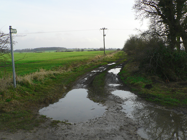
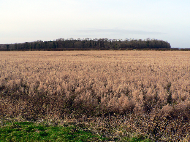
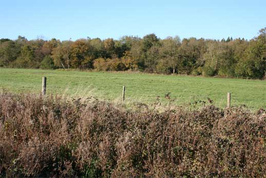
The woodlands of Hick's Holt are a prominent feature of the village, encompassing a vast area and offering a diverse range of flora and fauna. The forests are home to a variety of tree species, including oak, beech, birch, and pine, creating a rich and vibrant ecosystem. Walking and hiking trails crisscross through the woods, attracting nature enthusiasts and locals alike, who can explore the peaceful surroundings and enjoy the tranquility of the area.
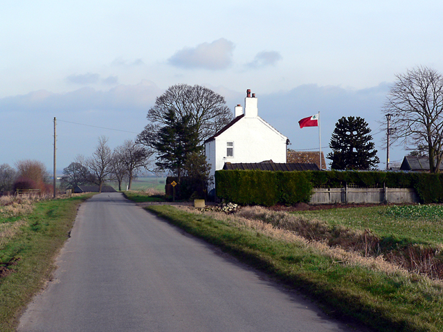
The village itself is a tight-knit community, with a small population that cherishes its natural surroundings. The residents take pride in preserving the village's natural heritage, ensuring that the woodlands and forests remain untouched and well-maintained. This commitment to conservation has led to the village being recognized for its efforts in protecting the environment.
Despite its small size, Hick's Holt boasts a few amenities for its residents, including a community center, a local pub, and a small village shop. The village also hosts annual events and festivals that celebrate the natural beauty of the area, attracting visitors from neighboring towns and villages.
In conclusion, Hick's Holt is a charming village in Lincolnshire, known for its woodlands and forests. With its stunning landscapes and community-focused mindset, it offers a peaceful retreat for those seeking to connect with nature and enjoy the beauty of the English countryside.
If you have any feedback on the listing, please let us know in the comments section below.
Hick's Holt Images
Images are sourced within 2km of 53.148286/-0.37982678 or Grid Reference TF0862. Thanks to Geograph Open Source API. All images are credited.


Hick's Holt is located at Grid Ref: TF0862 (Lat: 53.148286, Lng: -0.37982678)
Administrative County: Lincolnshire
District: North Kesteven
Police Authority: Lincolnshire
What 3 Words
///redefined.admiral.publish. Near Metheringham, Lincolnshire
Nearby Locations
Related Wikis

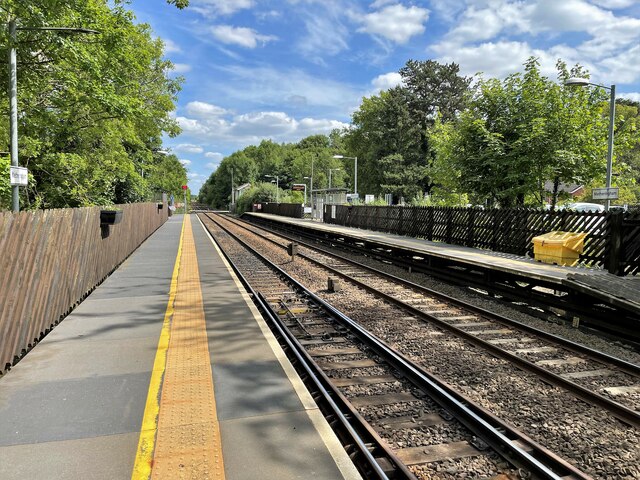
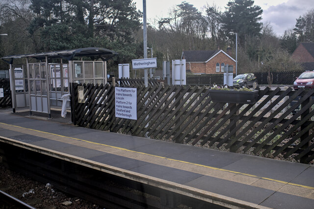
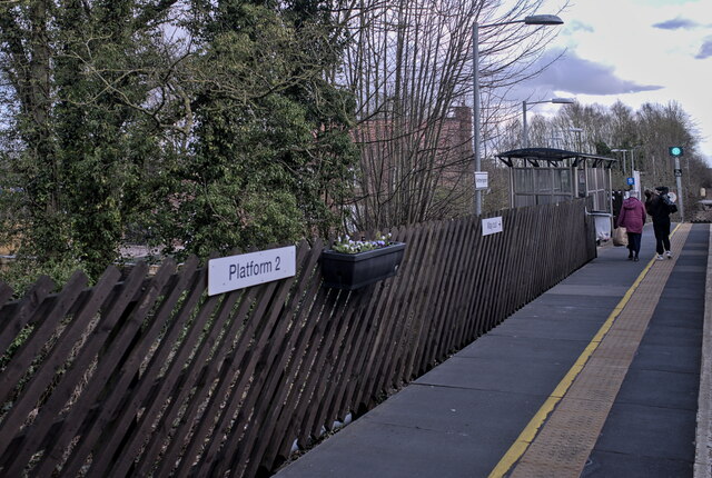
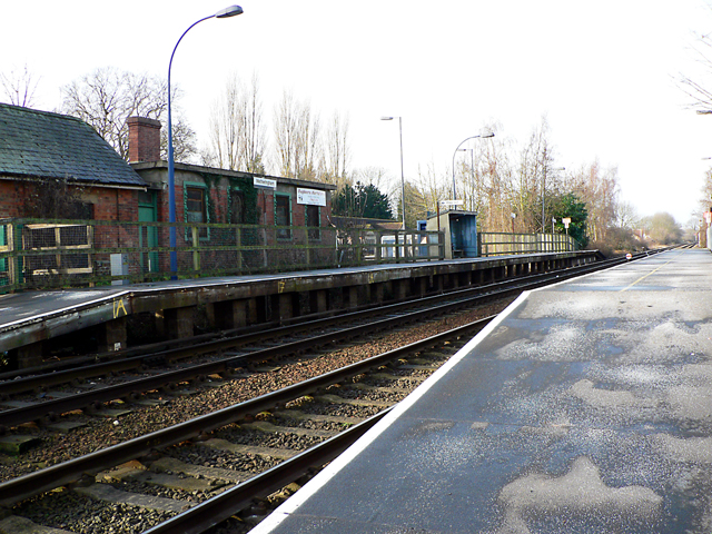
Metheringham railway station
Metheringham railway station serves the village of Metheringham in Lincolnshire, England. It lies on the Peterborough–Lincoln line. It is owned by Network...

Metheringham
Metheringham is a village and civil parish in the North Kesteven district of Lincolnshire, England. The population of the civil parish at the 2011 census...

Dunston, Lincolnshire
Dunston is a small village in the North Kesteven district of Lincolnshire, England. It is situated approximately 7 miles (11 km) south-east from the city...
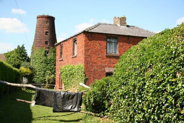
Metheringham Windmill
Metheringham Windmill, locally known as The Old Meg Flour Mill, was a six-storeyed, six-sailed, and tarred slender Lincolnshire type windmill with the...

Metheringham Lass
The Metheringham Lass is the name given to an apparition which has been reported at RAF Metheringham. Reports have stated that the woman, wearing a jacket...

RAF Metheringham
Royal Air Force Metheringham or more simply RAF Metheringham is a former Royal Air Force station situated between the villages of Metheringham and Martin...
Nocton Priory
Nocton Park Priory was an Augustinian priory in Nocton, Lincolnshire, England. The priory of Nocton Park was founded by Robert Darcy in honour of Saint...

Lincolnshire potato railways
The Lincolnshire potato railways were a network of private, 1 ft 11+1⁄2 in (597 mm) narrow gauge farm railways which existed in the English county of Lincolnshire...
Nearby Amenities
Located within 500m of 53.148286,-0.37982678Have you been to Hick's Holt?
Leave your review of Hick's Holt below (or comments, questions and feedback).