Hanging Wood

Wood, Forest in Sussex Horsham

England

Hanging Wood

Gateway with a view Looking westwards from the West Sussex Literary Trail.
Gateway with a view Credit: Chris Thomas-Atkin

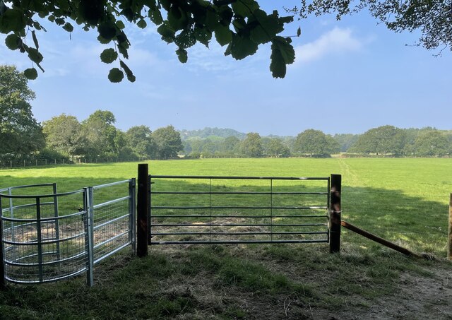
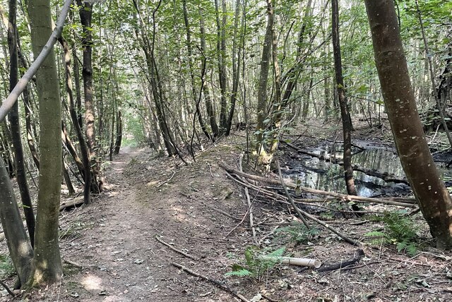
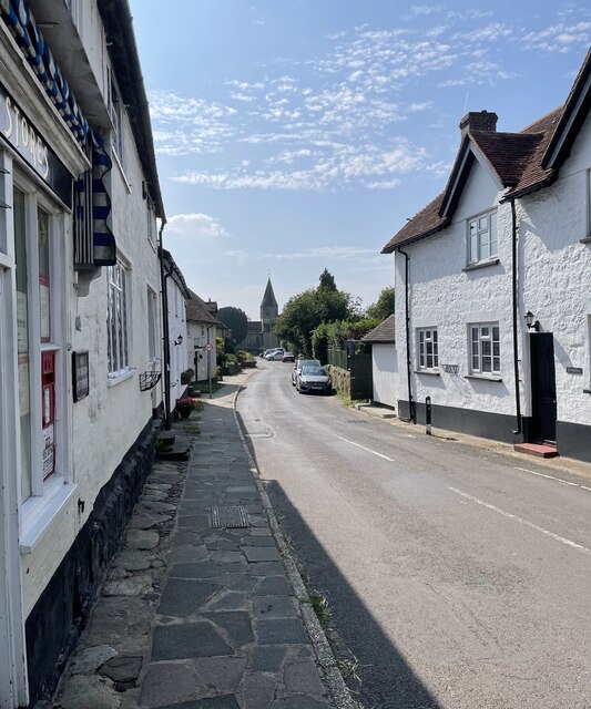
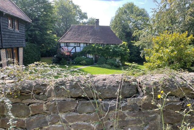
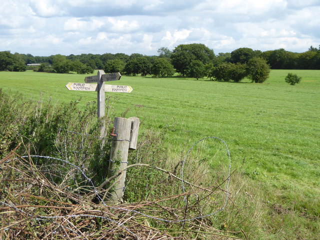
Hanging Wood is a picturesque woodland located in the county of Sussex, England. Nestled amidst the rolling hills of the South Downs, this enchanting forest covers an area of approximately 100 hectares. The wood boasts a diverse range of tree species, including oak, beech, ash, and birch, creating a rich and varied ecosystem.

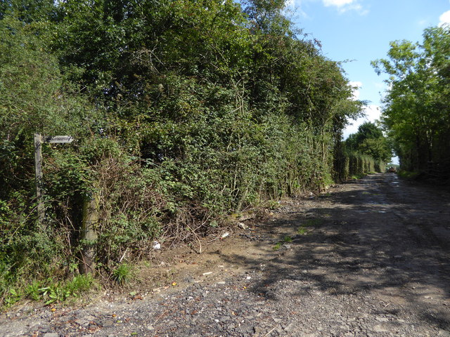
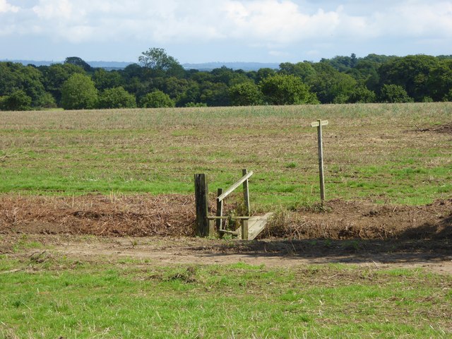
The woodland is known for its tranquil atmosphere and stunning natural beauty. Visitors to Hanging Wood can explore a network of well-maintained footpaths that wind their way through the forest, offering breathtaking views of the surrounding countryside. The paths are suitable for walkers of all abilities and provide an opportunity to observe the local flora and fauna.

Wildlife thrives in Hanging Wood, with numerous bird species making it their home. Visitors may spot woodpeckers, owls, and various songbirds among the treetops. The forest floor is alive with small mammals and insects, adding to the biodiversity of the area.

Hanging Wood has a rich history, dating back centuries. It has been carefully managed by local authorities to preserve its natural charm and ecological balance. The wood is a designated Site of Special Scientific Interest (SSSI), highlighting its importance in terms of wildlife conservation.

For nature lovers and outdoor enthusiasts, Hanging Wood offers a peaceful retreat from the hustle and bustle of everyday life. Its idyllic setting, diverse range of flora and fauna, and extensive walking trails make it a haven for those seeking a connection with nature.

If you have any feedback on the listing, please let us know in the comments section below.

Hanging Wood Images

Images are sourced within 2km of 50.967664/-0.45694051 or Grid Reference TQ0819. Thanks to Geograph Open Source API. All images are credited.

Gateway with a view Looking westwards from the West Sussex Literary Trail.
Gateway with a view
Looking westwards from the West Sussex Literary Trail.
West Sussex Literary Trail Passing through unnamed woodland near Woods Hill.
West Sussex Literary Trail
Passing through unnamed woodland near Woods Hill.
Nyetimber Vines Vines beside the West Sussex Literary Trail at Nyetimber Vineyard.
Nyetimber Vines
Vines beside the West Sussex Literary Trail at Nyetimber Vineyard.
Vines as far as you can see The extensive vines at Nyetimber Vineyard with the distant backdrop of the South Downs.
Vines as far as you can see
The extensive vines at Nyetimber Vineyard with the distant backdrop of the South Downs.
West Chiltington Looking south towards the Parish Church of St Mary.
West Chiltington
Looking south towards the Parish Church of St Mary.
Naldretts Farmhouse The farmhouse viewed from roadside. It is a Grade II listed building. See <span class="nowrap"><a title="https://historicengland.org.uk/listing/the-list/list-entry/1027174" rel="nofollow ugc noopener" href="https://historicengland.org.uk/listing/the-list/list-entry/1027174">Link</a><img style="margin-left:2px;" alt="External link" title="External link - shift click to open in new window" src="https://s1.geograph.org.uk/img/external.png" width="10" height="10"/></span>
Naldretts Farmhouse
The farmhouse viewed from roadside. It is a Grade II listed building. See LinkExternal link
The gates at Borough Farm The footpath is on the extreme left of the image.
The gates at Borough Farm
The footpath is on the extreme left of the image.
Looking across Nutbourne Lane at Beedings drive
Entrance to Redfold Vineyards See also <a title="https://www.geograph.org.uk/photo/2225927" href="https://www.geograph.org.uk/photo/2225927">Link</a> from 2011.
Entrance to Redfold Vineyards
See also Link from 2011.
Track heading east from Broadford Bridge Road This is signed as a public footpath but is not mapped as a public right of way.
Track heading east from Broadford Bridge Road
This is signed as a public footpath but is not mapped as a public right of way.
Footpath bridge over ditch by High Copse Farm
Crossing of footpaths east of Broadford Bridge Road
Junction of Nutbourne and Gay Street Lanes with crossing footpath For a view the other way see <a title="https://www.geograph.org.uk/photo/298829" href="https://www.geograph.org.uk/photo/298829">Link</a>.
Junction of Nutbourne and Gay Street Lanes with crossing footpath
For a view the other way see Link.
Footpath goes east from Gay Street Lane
Dog at crossing paths The animal was very muddy but friendly and we hit it off.
For a view the other way see <a title="https://www.geograph.org.uk/photo/4377803" href="https://www.geograph.org.uk/photo/4377803">Link</a>.
Dog at crossing paths
The animal was very muddy but friendly and we hit it off. For a view the other way see Link.
A bit of a mess at footpath junction The canine guardian of the crossing paths (see <a href="https://www.geograph.org.uk/photo/4771062">TQ0721 : Dog at crossing paths</a>) can be seen on the extreme left beyond the pile of rubble.
A bit of a mess at footpath junction
The canine guardian of the crossing paths (see TQ0721 : Dog at crossing paths) can be seen on the extreme left beyond the pile of rubble.
Footpath crosses stream on plank bridge See also <a title="https://www.geograph.org.uk/photo/4377984" href="https://www.geograph.org.uk/photo/4377984">Link</a> for a picture earlier in the year.
Footpath crosses stream on plank bridge
See also Link for a picture earlier in the year.
Footpath arrives at muddy corner of field and junction with bridleway See also <a title="https://www.geograph.org.uk/photo/4374766" href="https://www.geograph.org.uk/photo/4374766">Link</a>.
Footpath arrives at muddy corner of field and junction with bridleway
See also Link.
Show me another place!

Hanging Wood is located at Grid Ref: TQ0819 (Lat: 50.967664, Lng: -0.45694051)

Administrative County: West Sussex

District: Horsham

Police Authority: Sussex

What 3 Words

///dribble.alone.roughness. Near Pulborough, West Sussex

Related Wikis

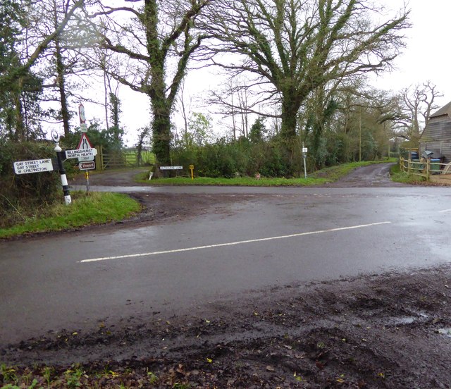
Gay Street, West Sussex

Gay Street is a hamlet in the Horsham District of West Sussex, England. It lies on the North Heath to West Chiltington road 1.9 miles (3.1 km) northeast...
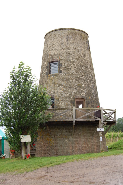
Nutbourne Windmill

Nutbourne Windmill is a tower mill at Nutbourne, Sussex, England which has been converted to retail use. == History == Nutbourne Windmill was built in...

Pulborough (electoral division)

Pulborough is an electoral division of West Sussex in the United Kingdom and returns one member to sit on West Sussex County Council. The current County...

Nutbourne, Horsham

Nutbourne is a hamlet running north–south situated 1.5 miles (2.4 km) east of Pulborough in the Horsham District of West Sussex and is in Pulborough civil...

West Chiltington

West Chiltington is a village and civil parish in the Horsham district of West Sussex, England. It lies on the Storrington to Broadford Bridge road, 2...

Geoffrey Woolley

Geoffrey Harold Woolley, (14 May 1892 – 10 December 1968) was a British Army infantry officer, Church of England priest, and Second World War military...

Henry Bowreman Foote

Major General Henry Robert Bowreman Foote, (5 December 1904 – 11 November 1993) was a British Army officer and a recipient of the Victoria Cross, the...

St Mary's Church, West Chiltington

St Mary's Church is the Grade I listed Anglican parish church of West Chiltington, a village in the Horsham district of West Sussex, England. The 12th...

Nearby Amenities

Located within 500m of 50.967664,-0.45694051
Ford: yes
Lat/Long: 50.9711461/-0.4586624
Crowell Farm
Place: isolated_dwelling
Lat/Long: 50.9669318/-0.4624786
Nyetimber Manor
Place: isolated_dwelling
Lat/Long: 50.9638157/-0.4579441
The data included in this document is from www.openstreetmap.org. The data is made available under ODbL.

Have you been to Hanging Wood?

Leave your review of Hanging Wood below (or comments, questions and feedback).